
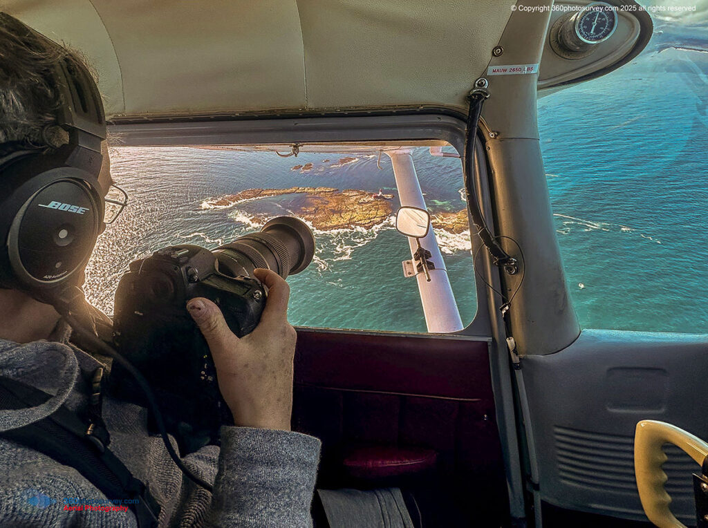
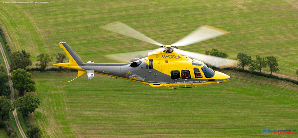
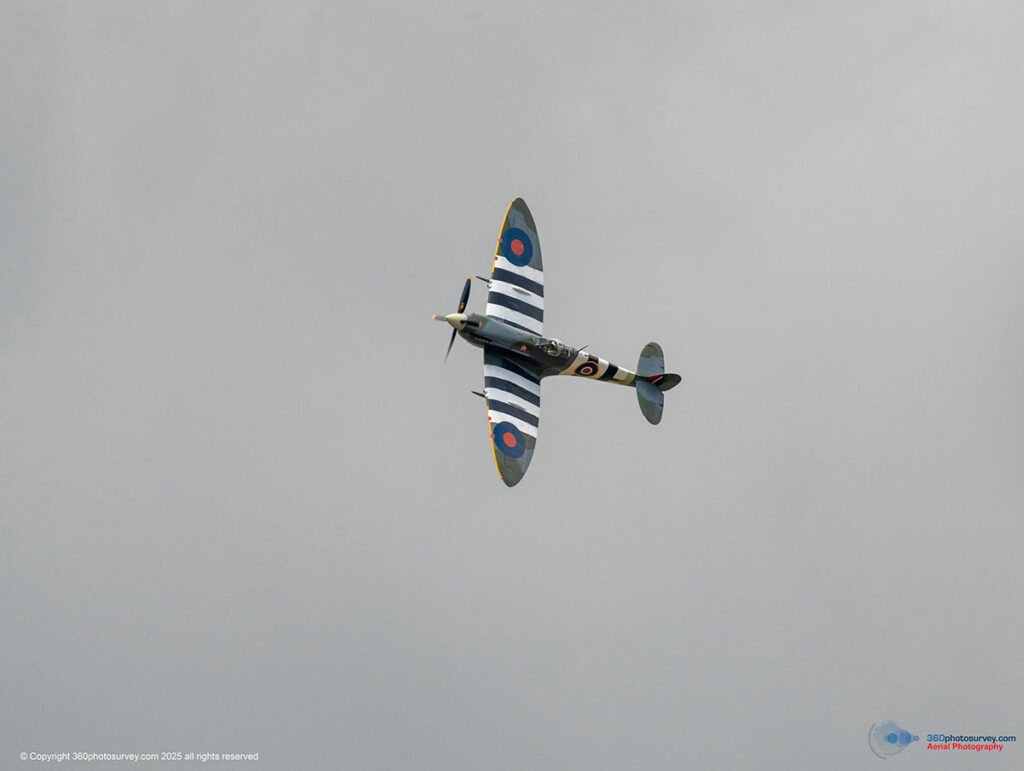
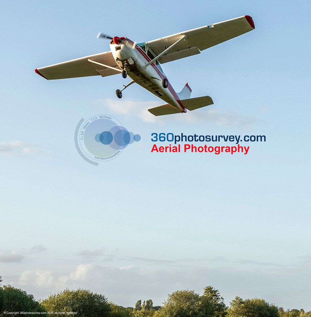
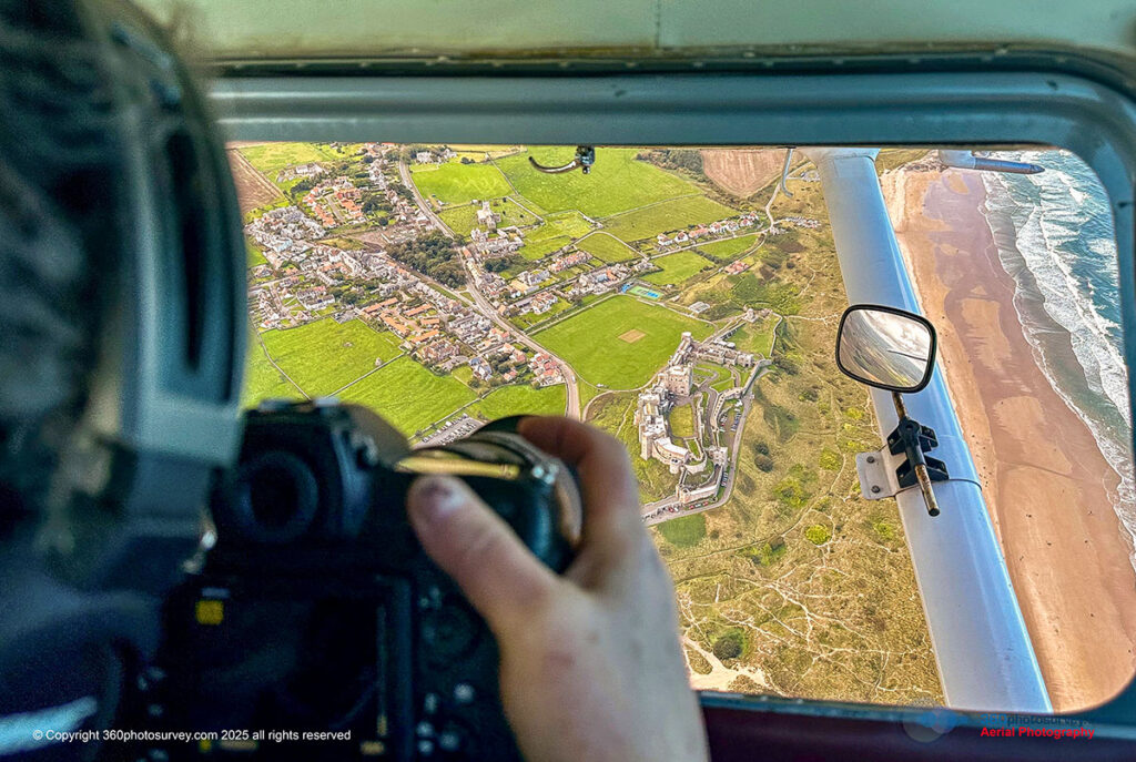
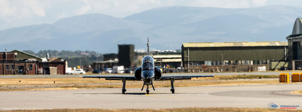
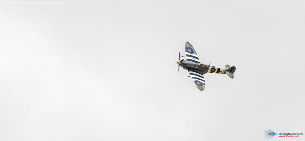
Experience unmatched aerial photography with 360photosurvey.com — where innovation takes flight. Unlike drone operators limited by regulations, altitude, and technology, we specialise in capturing the world from a higher perspective, using full-size, CAA-licensed aircraft piloted by highly experienced professional pilots and guided by our skilled onboard photographer.


We Specialise in:
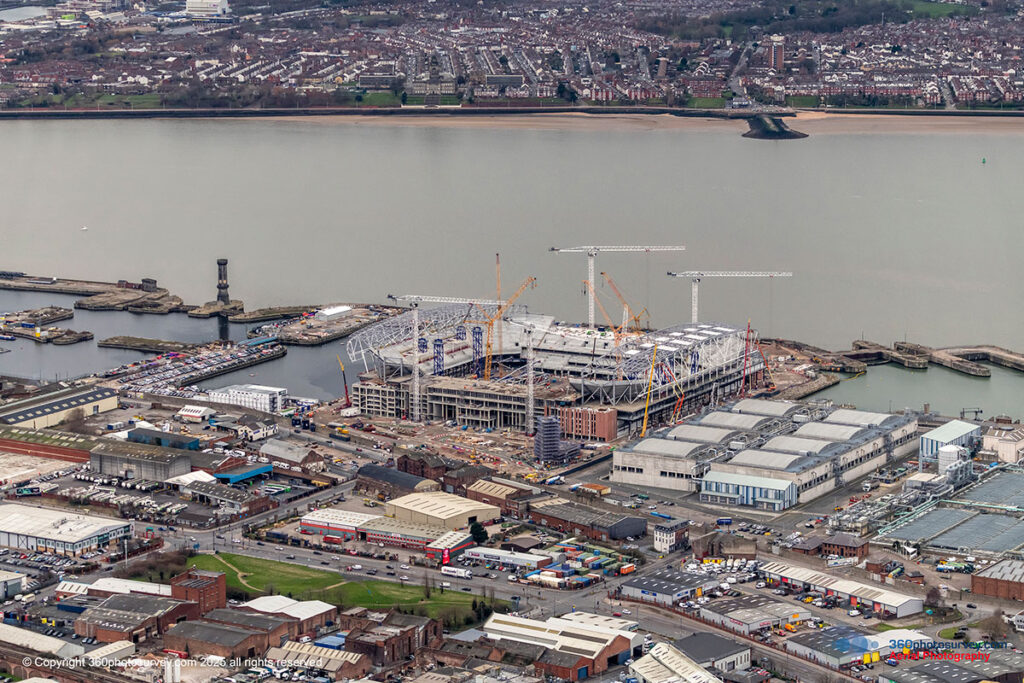
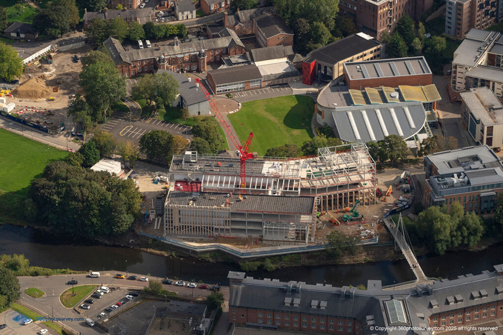
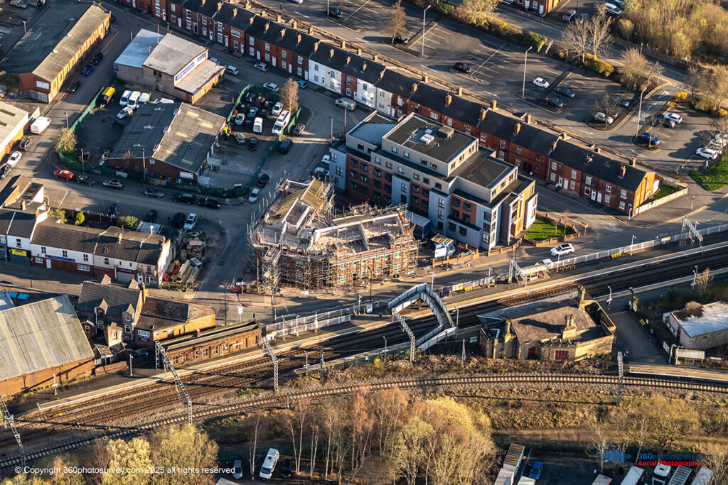
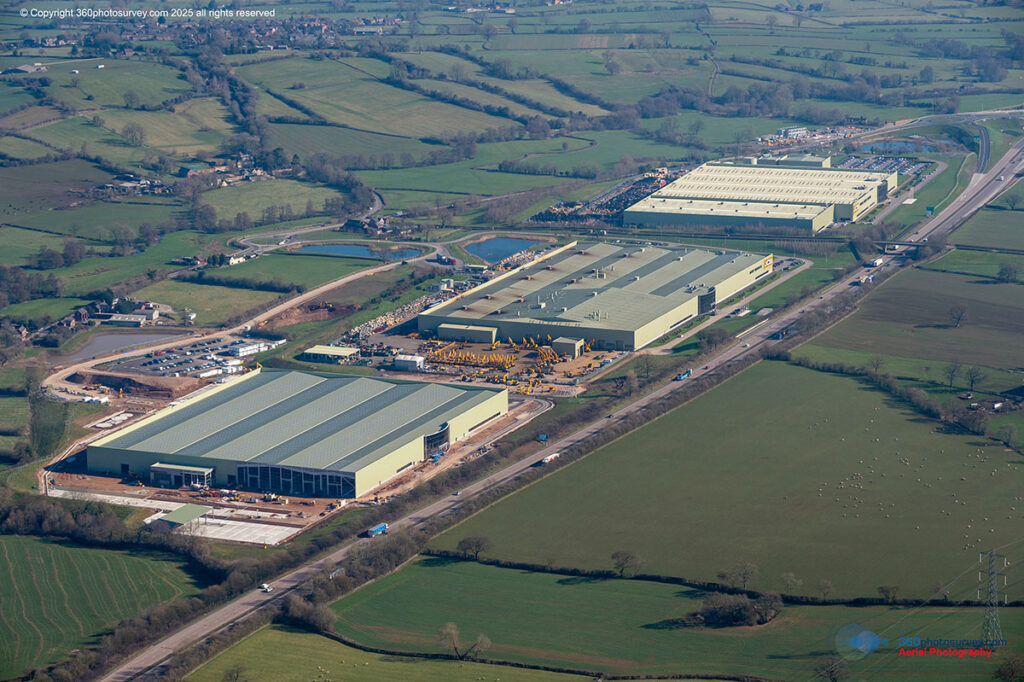
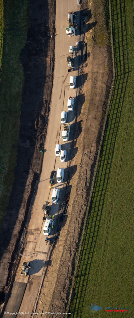
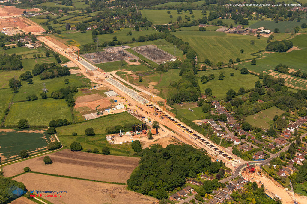
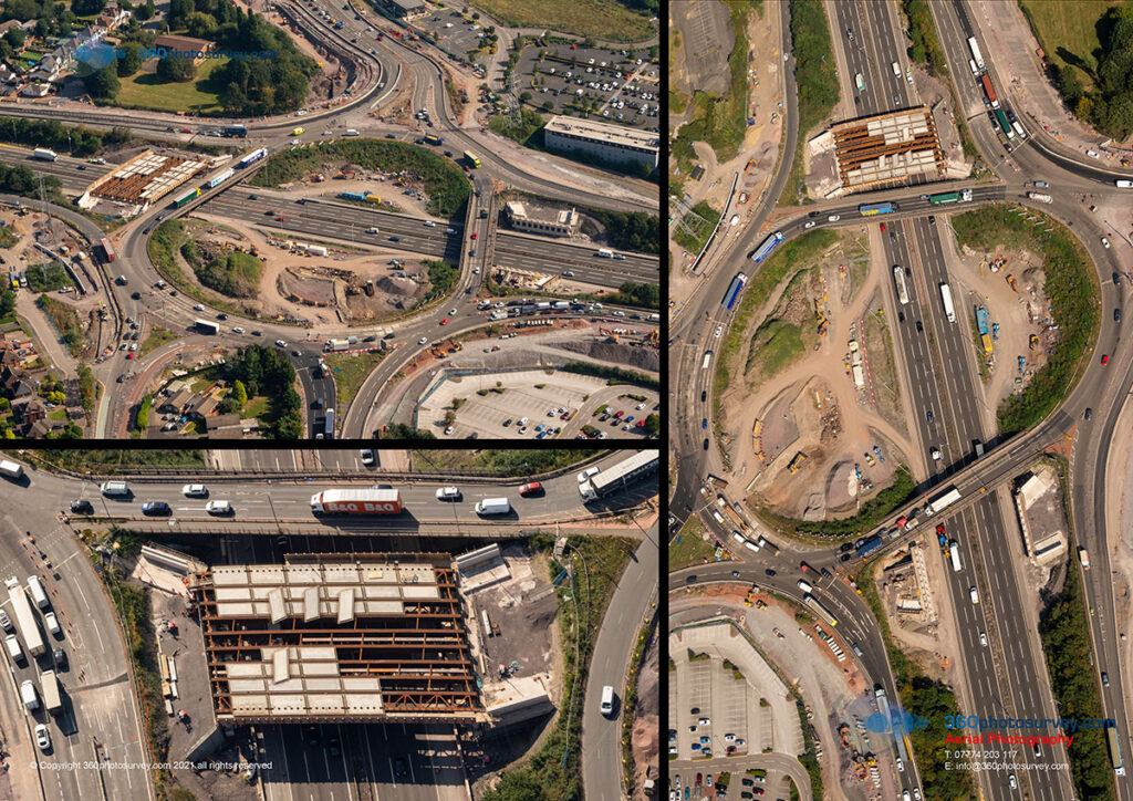
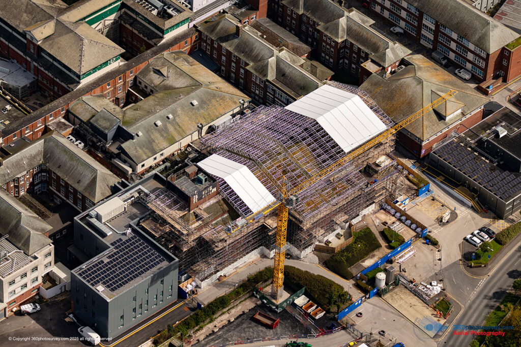
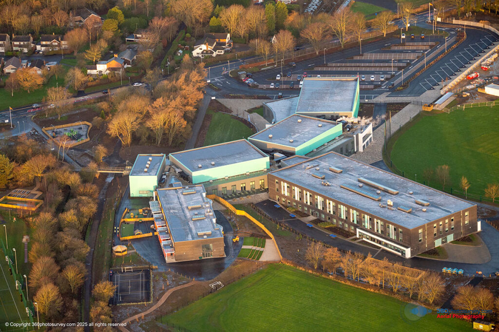
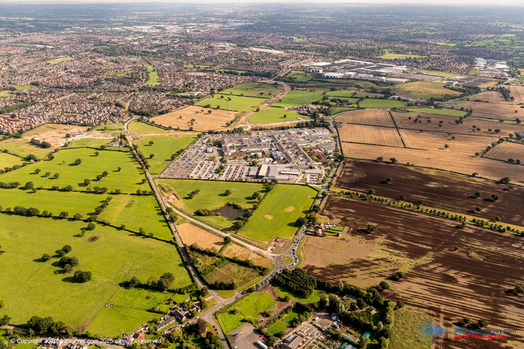
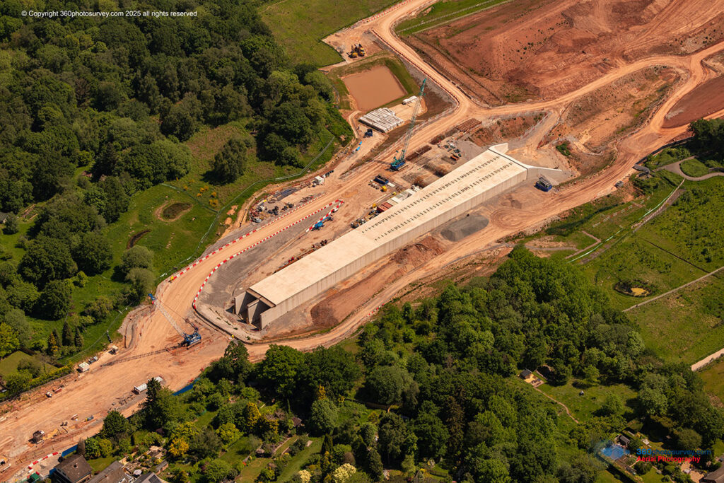
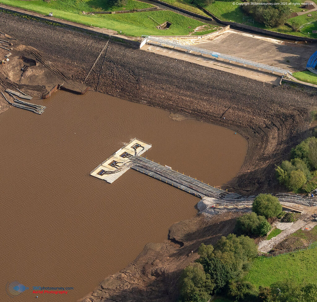
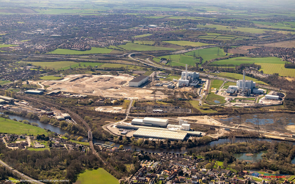
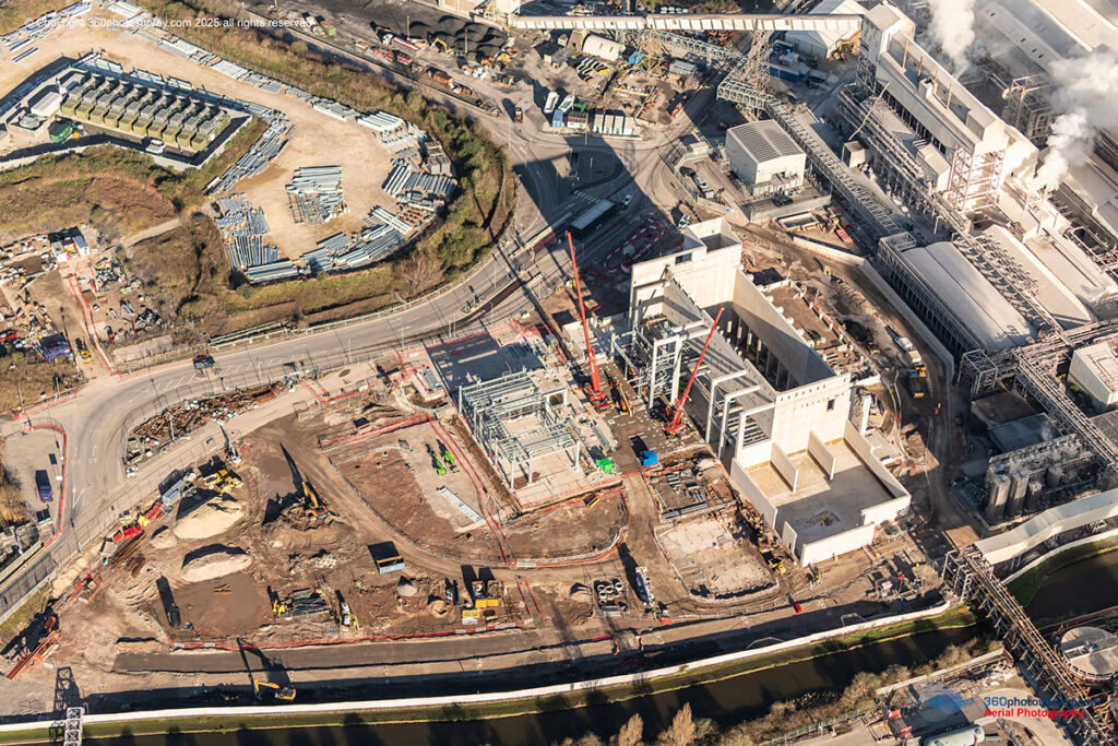
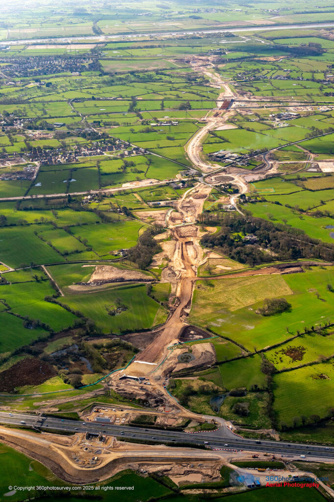
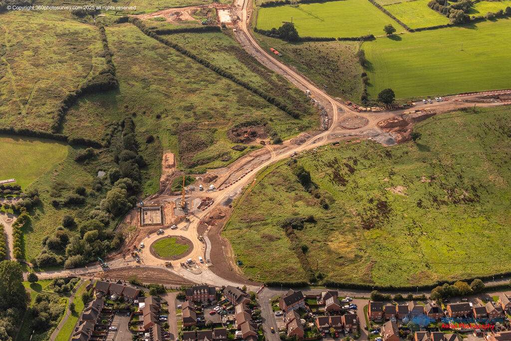
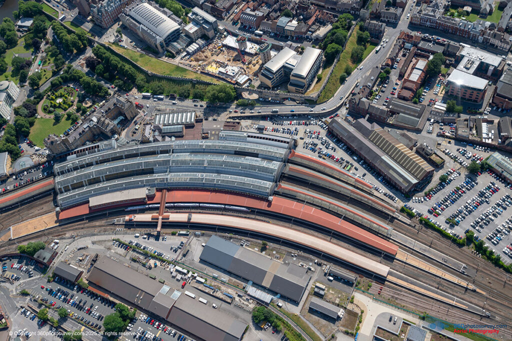
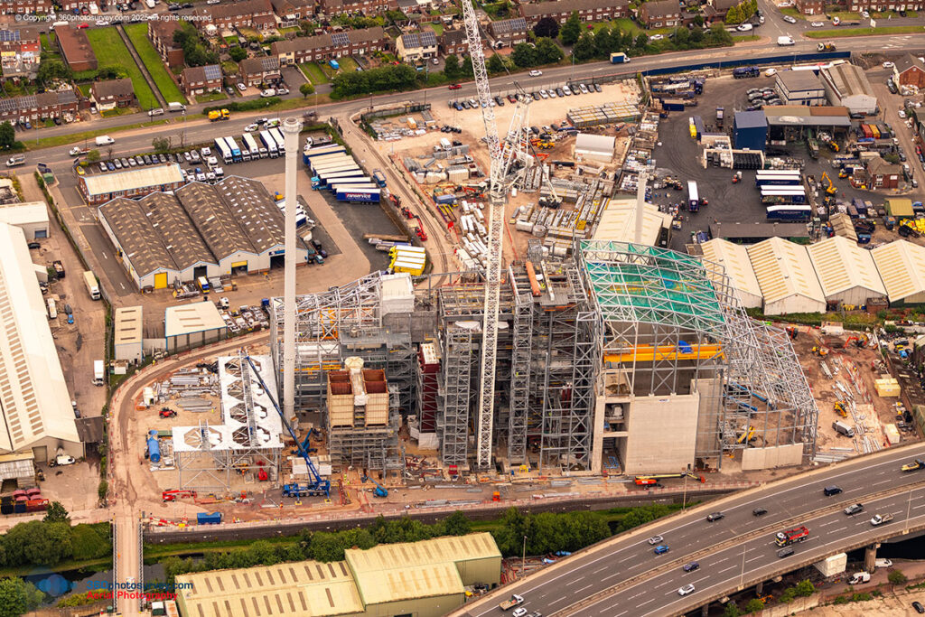
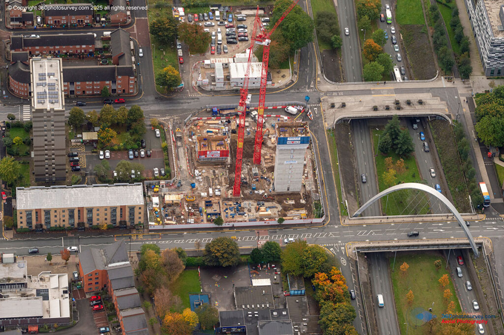
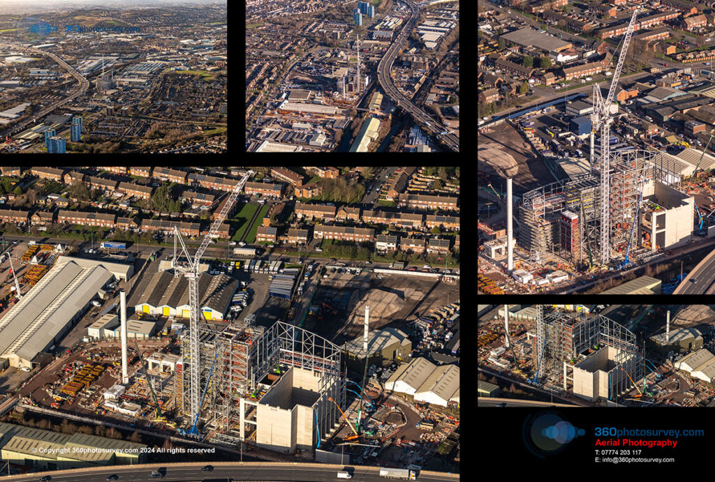
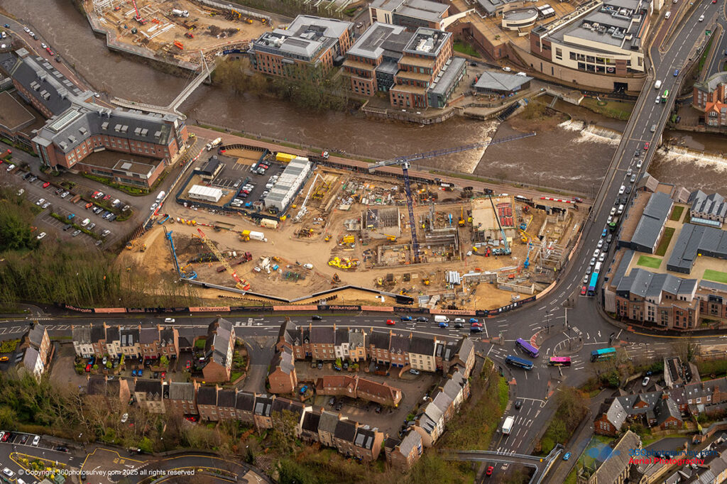
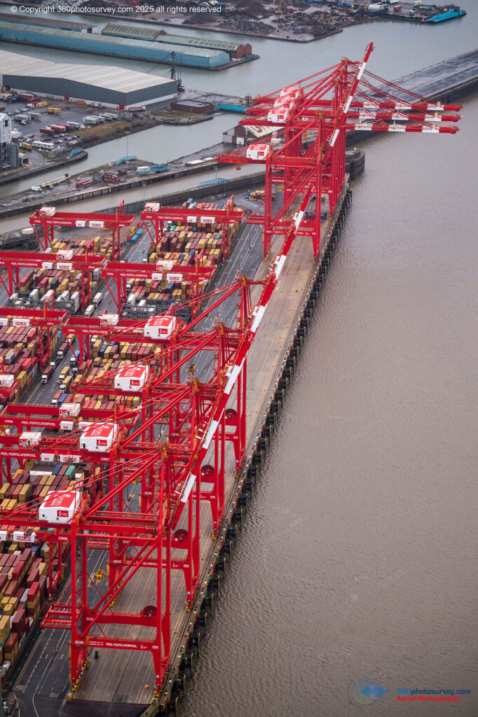
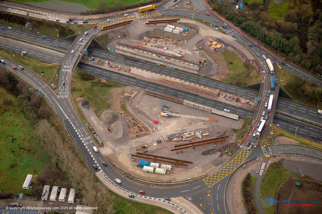
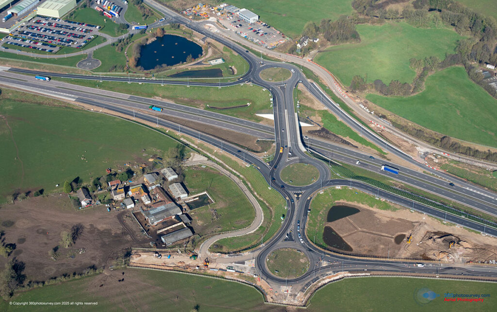
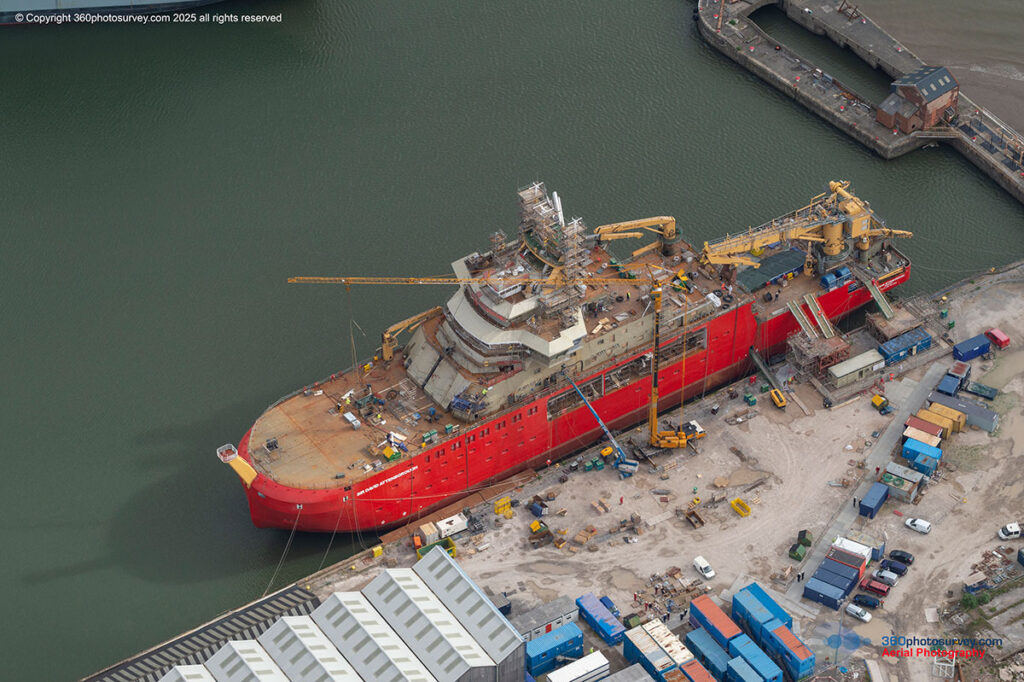
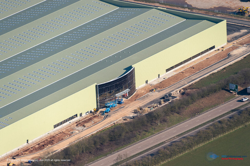
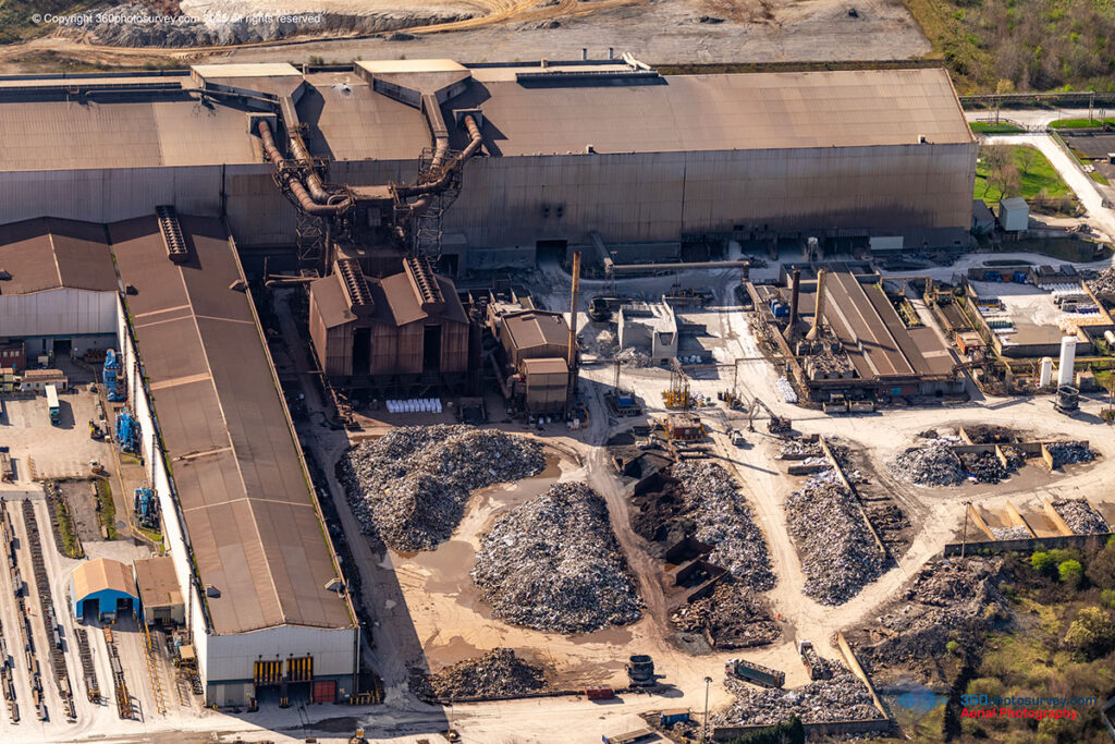
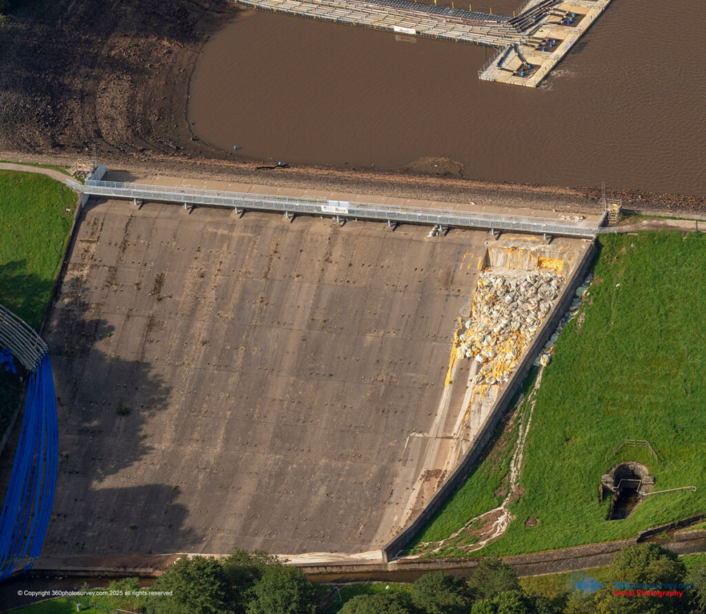
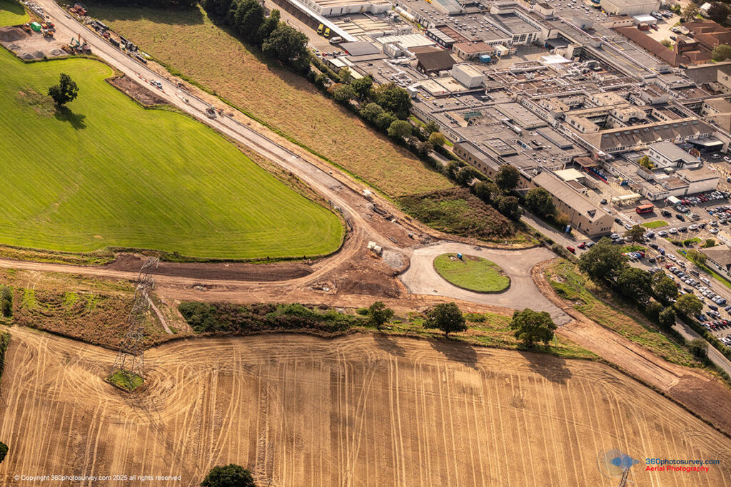
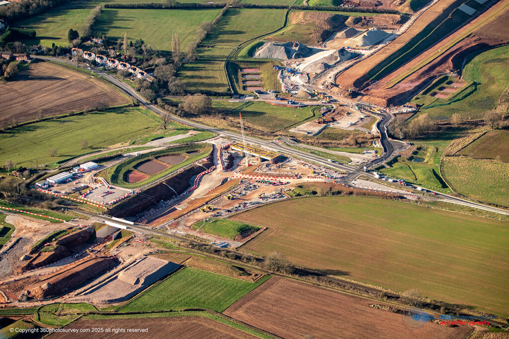
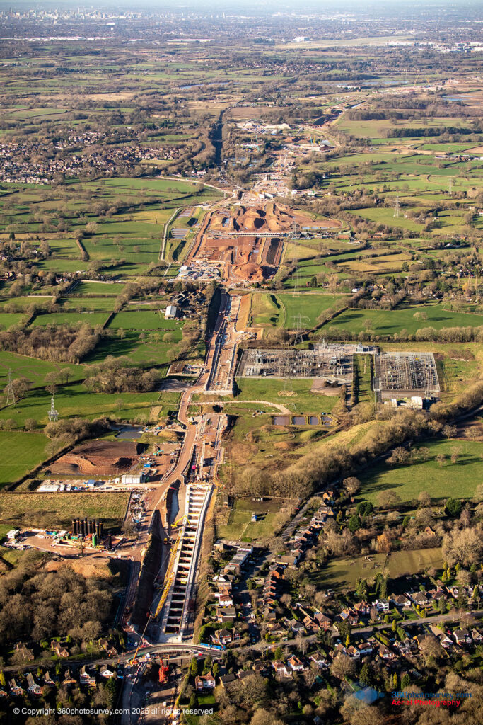
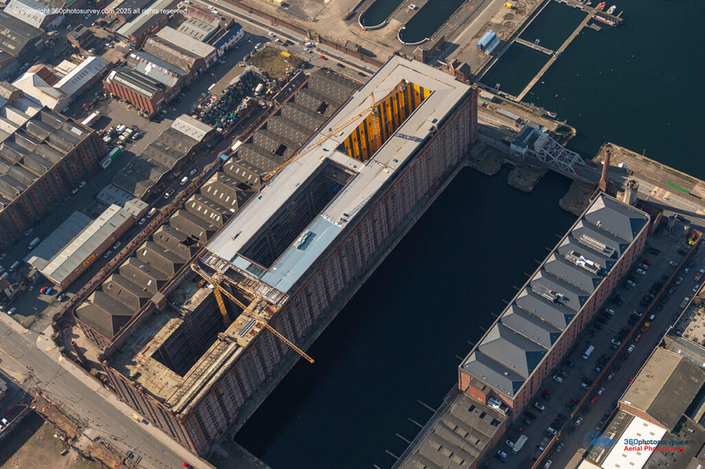
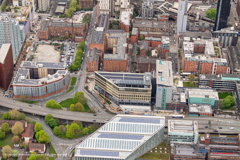
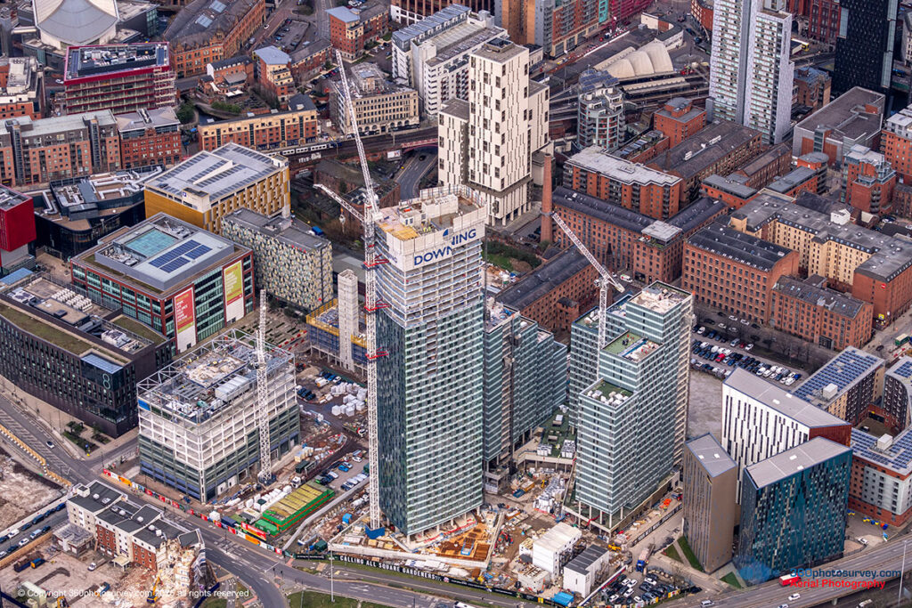
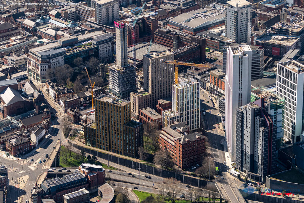
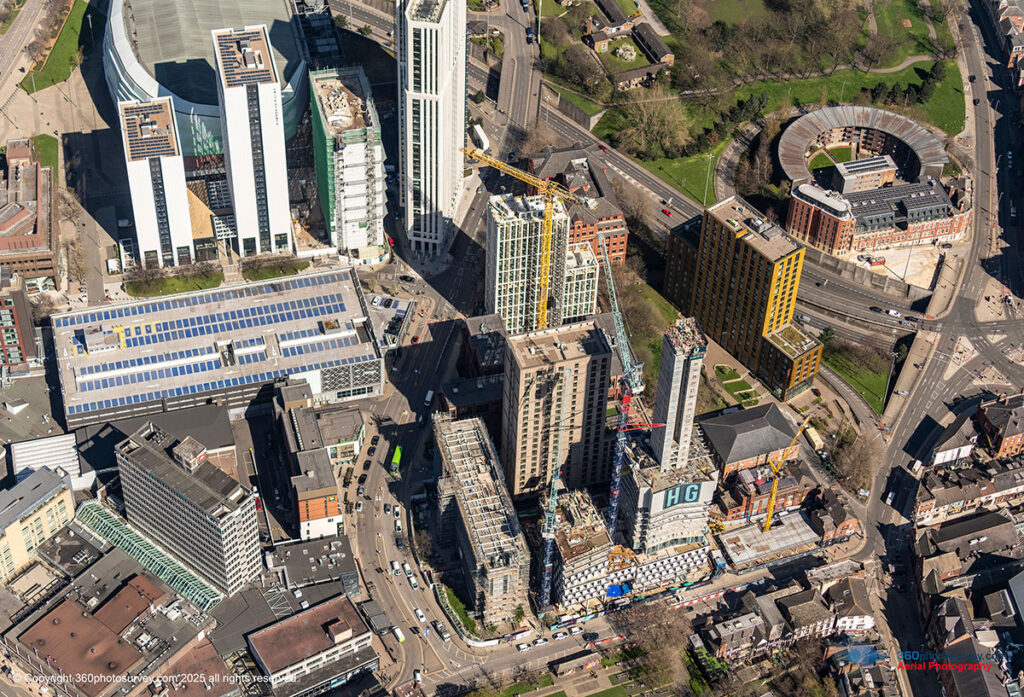
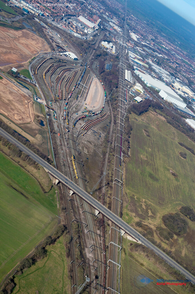
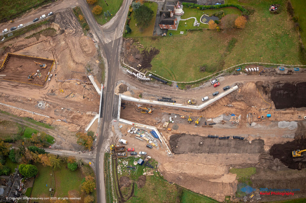
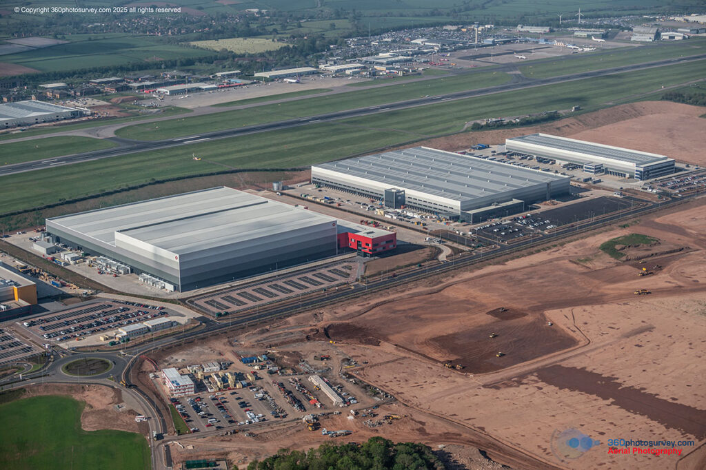
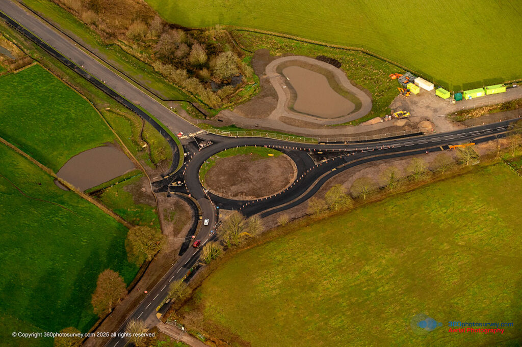
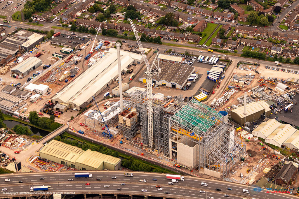
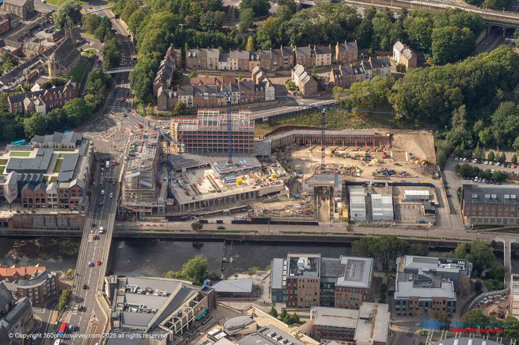
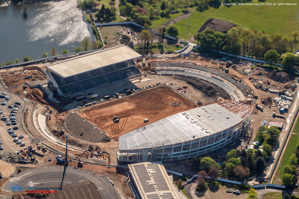
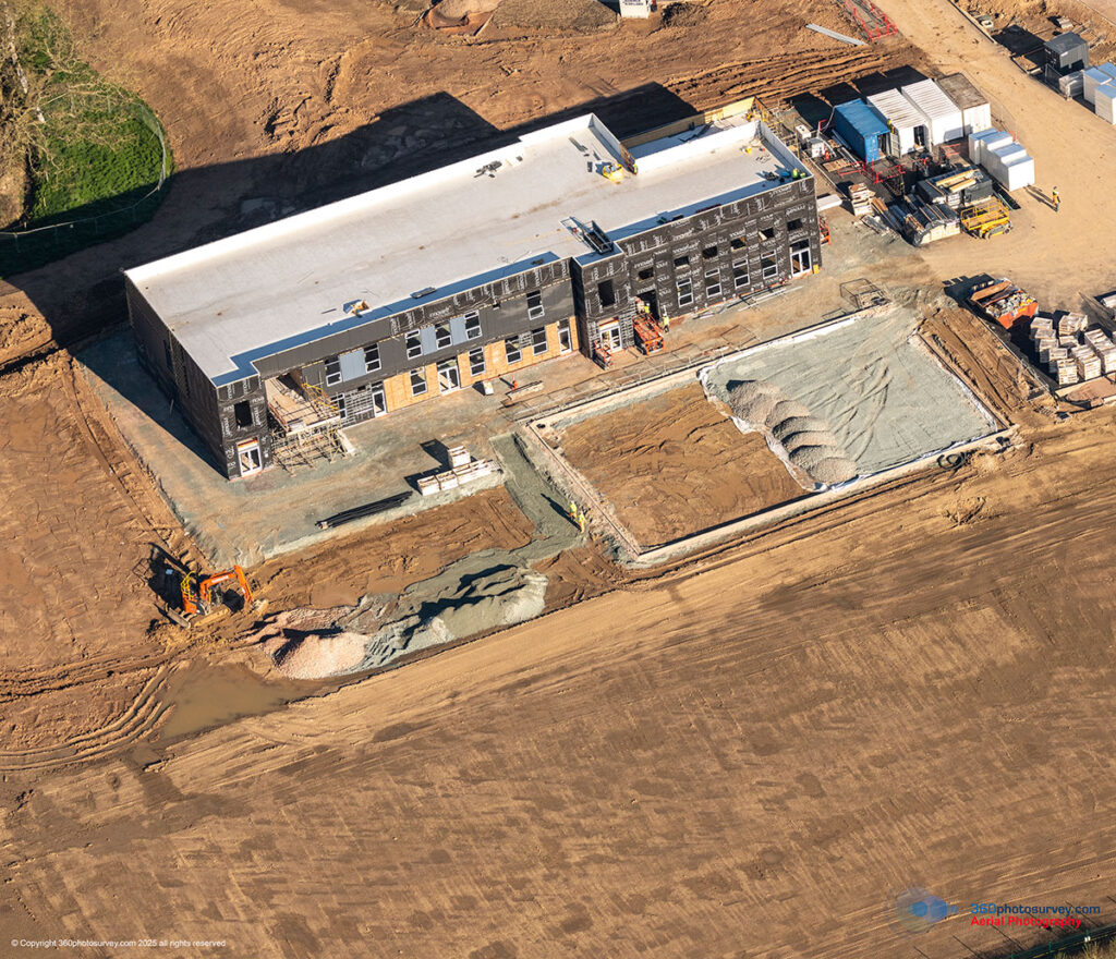
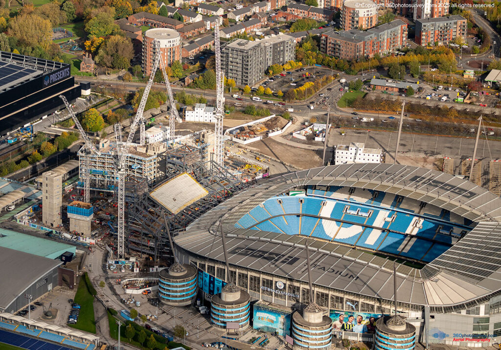
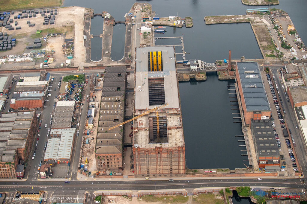
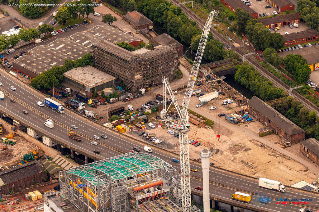
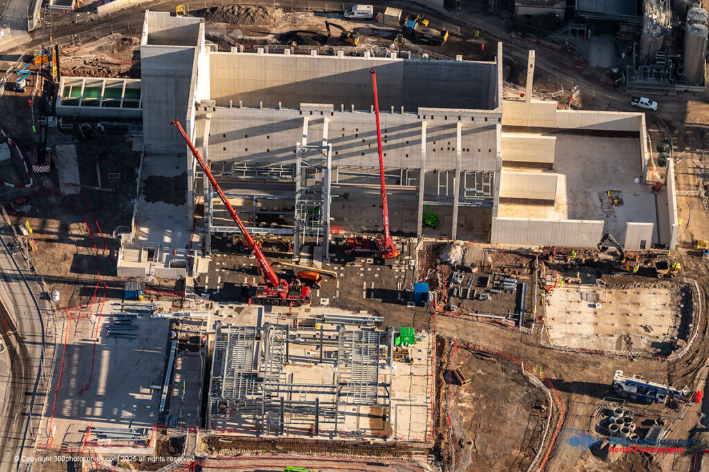
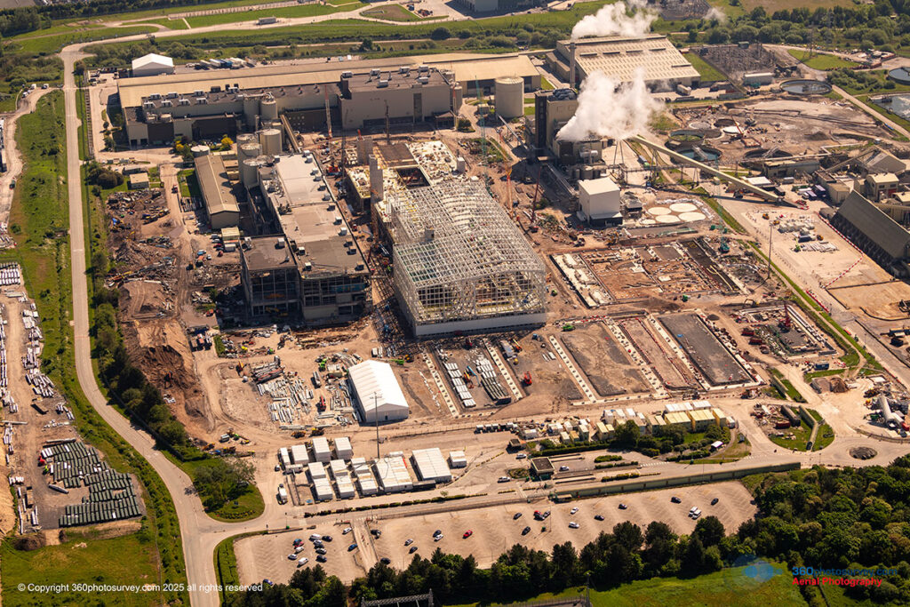
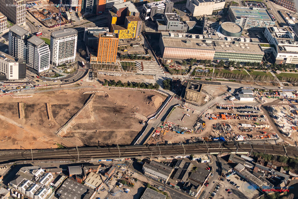
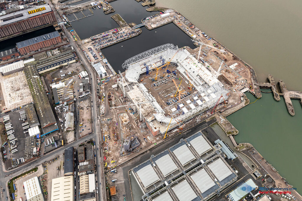
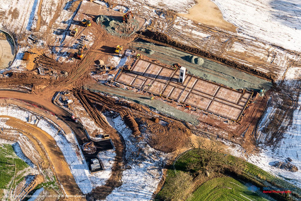
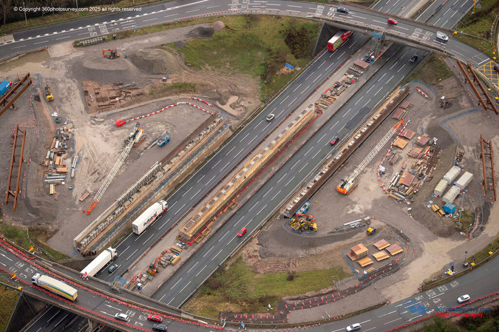
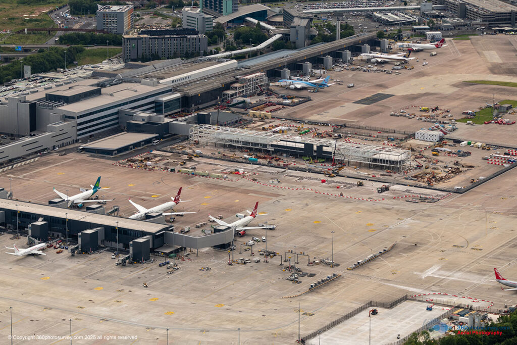
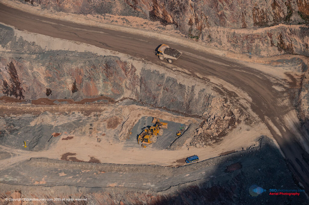
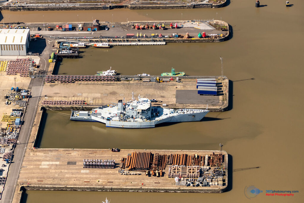
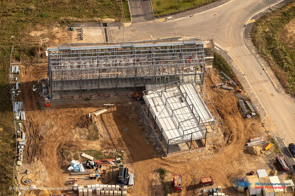
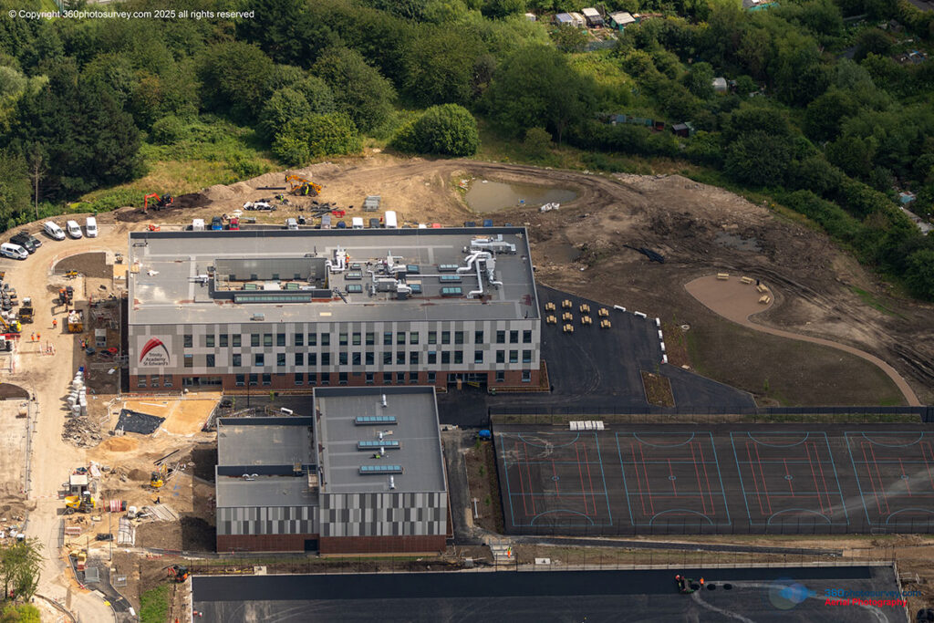
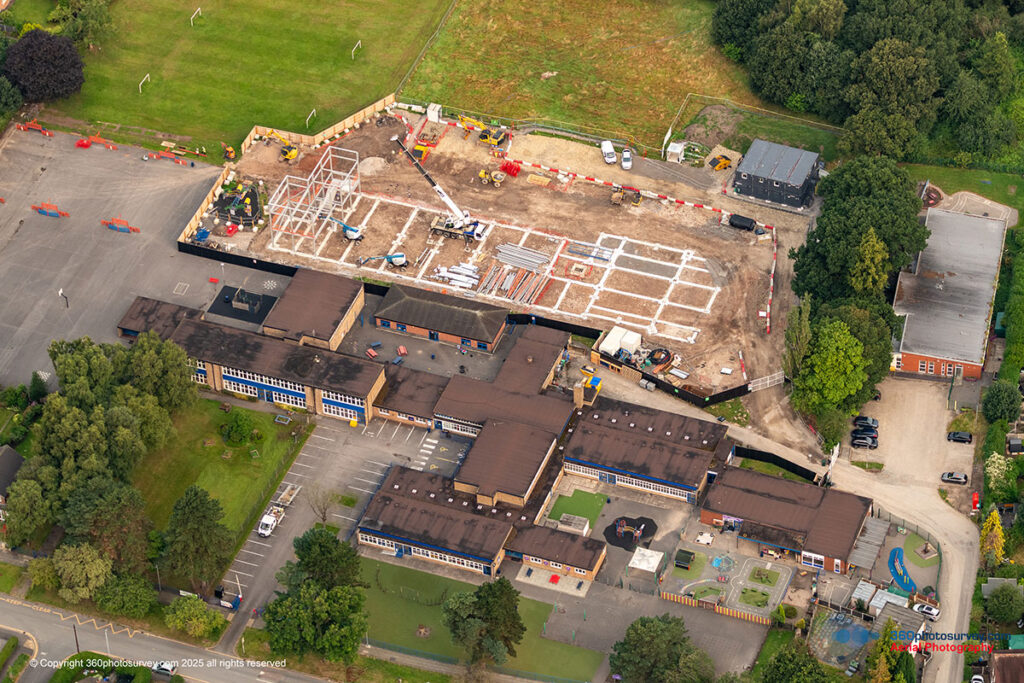
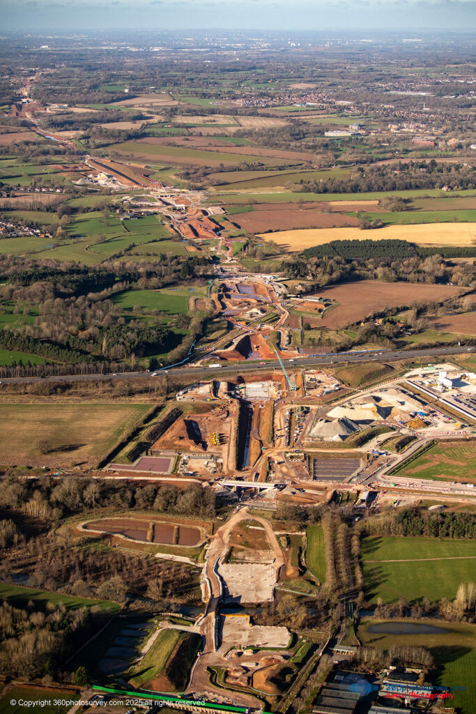
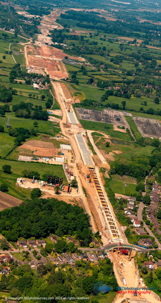
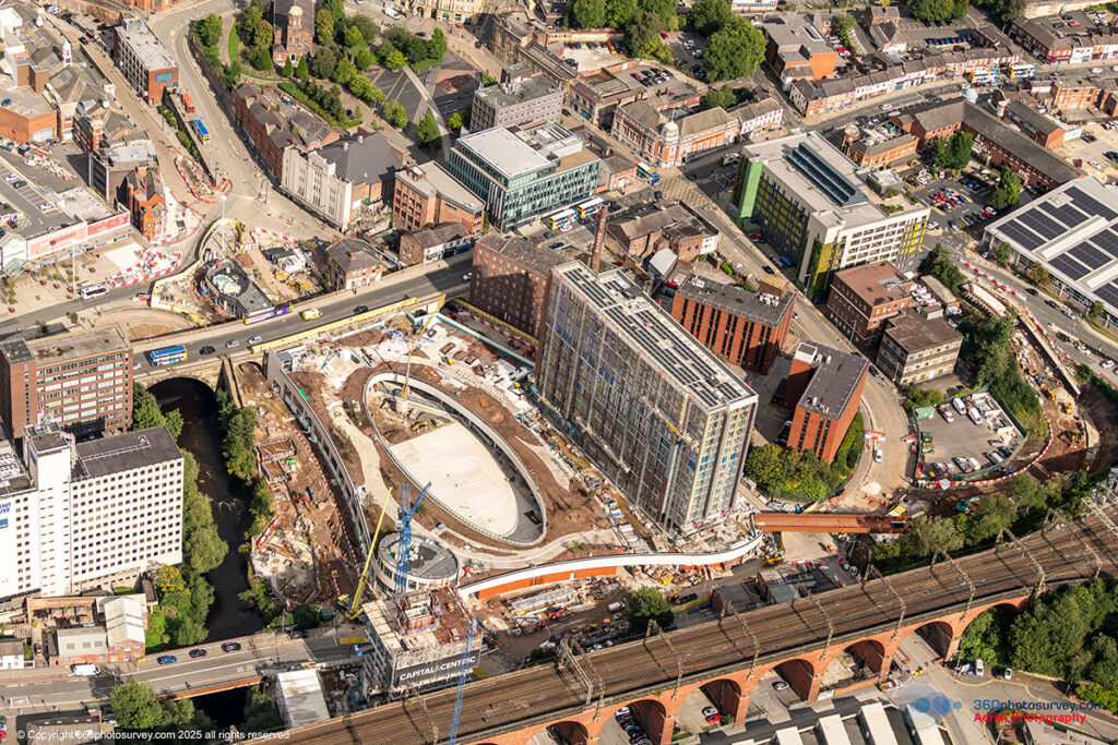
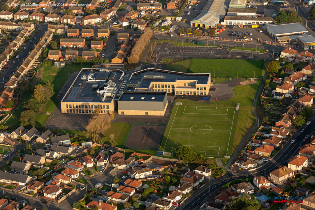
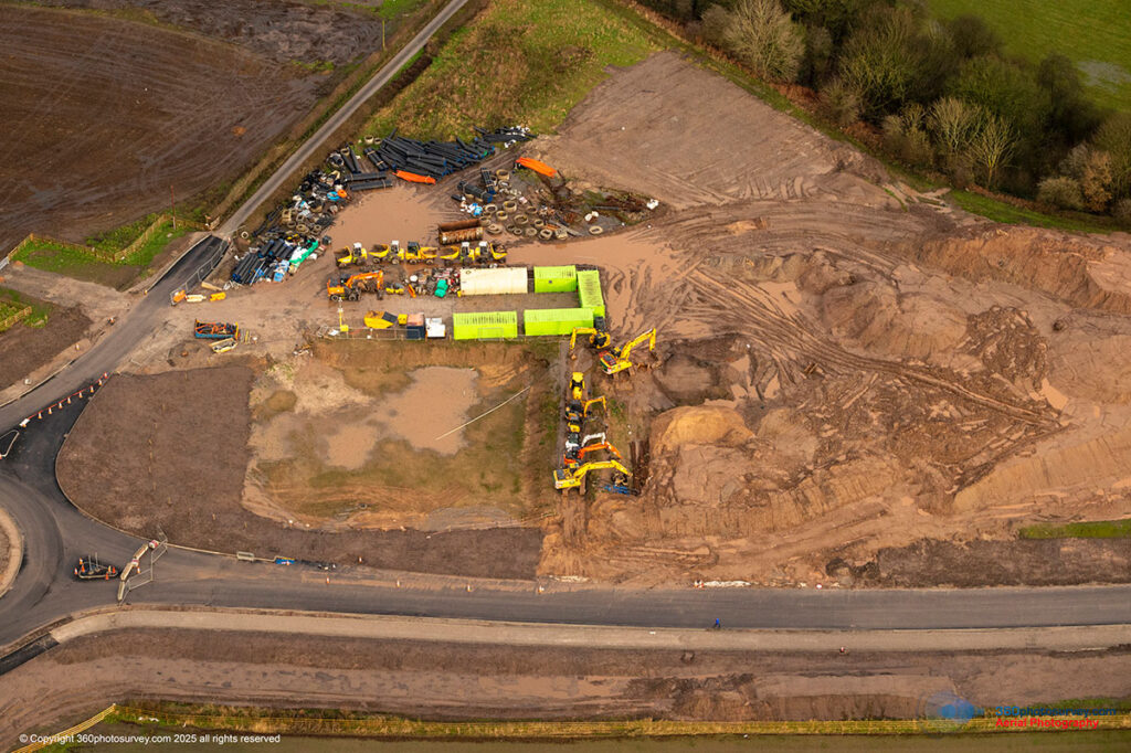
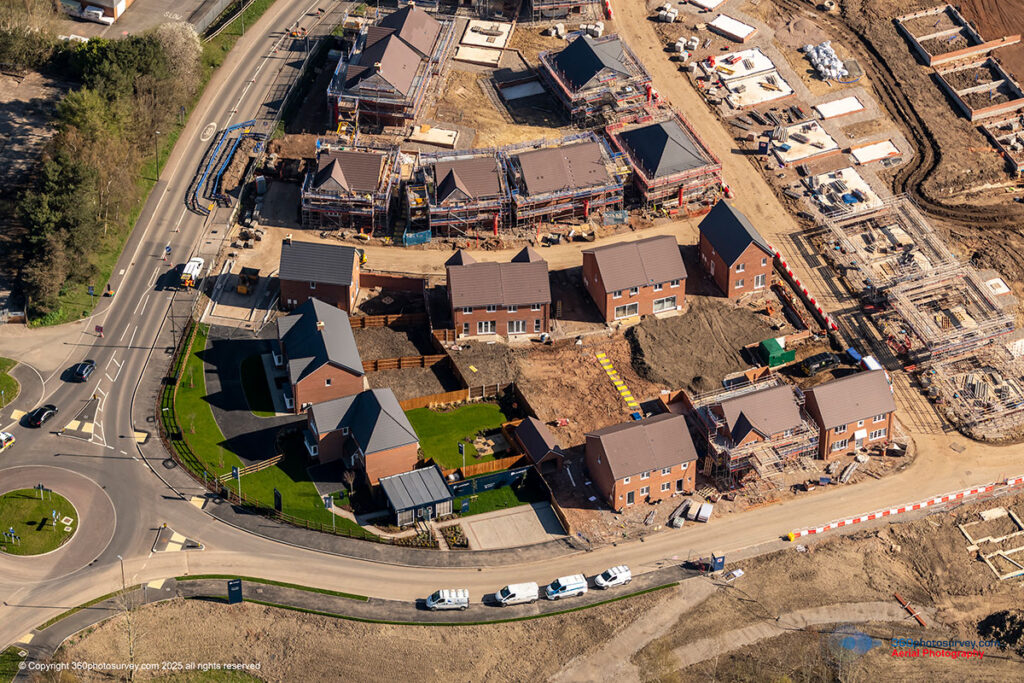
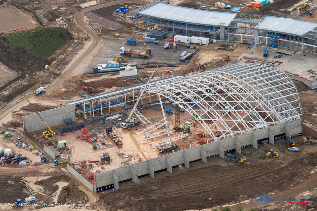
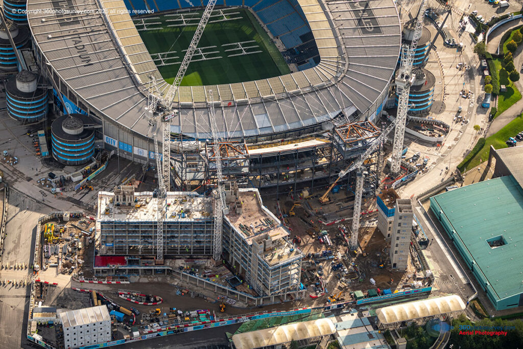
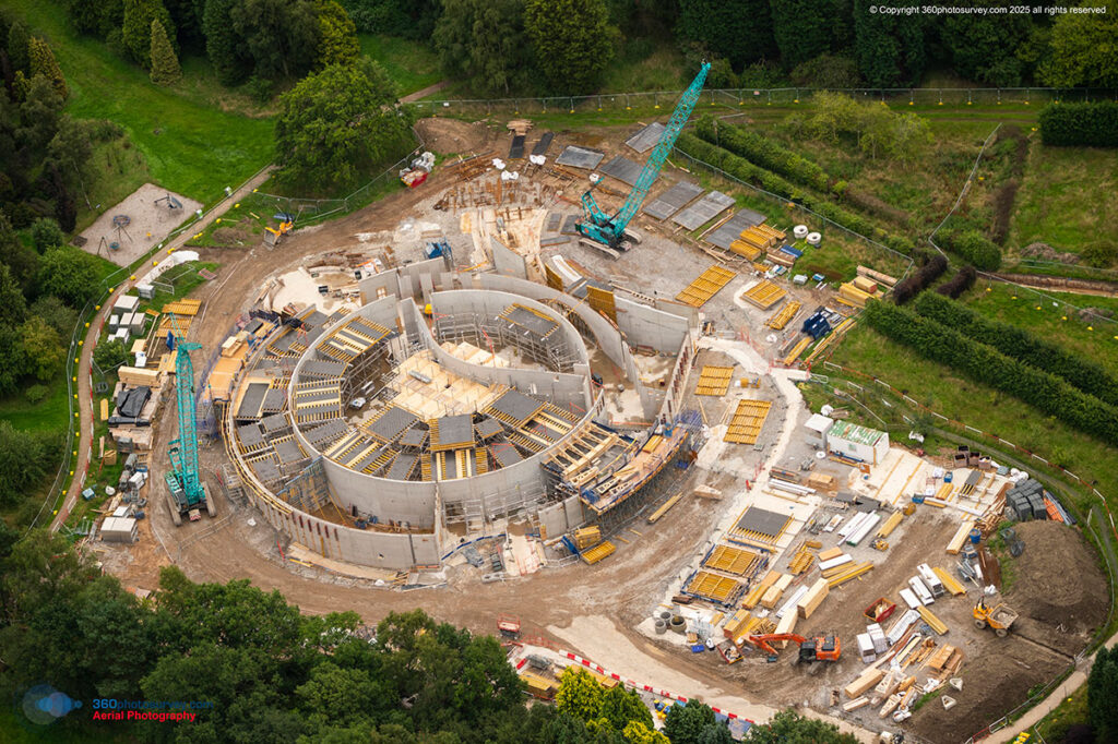
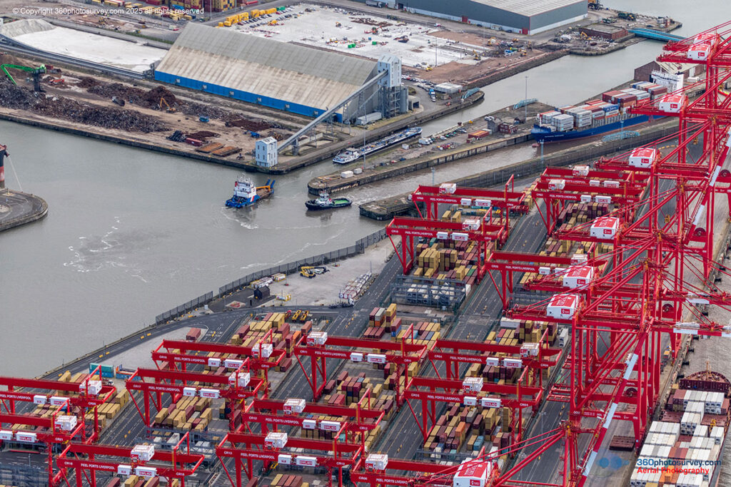
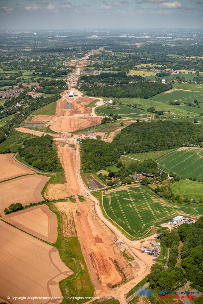
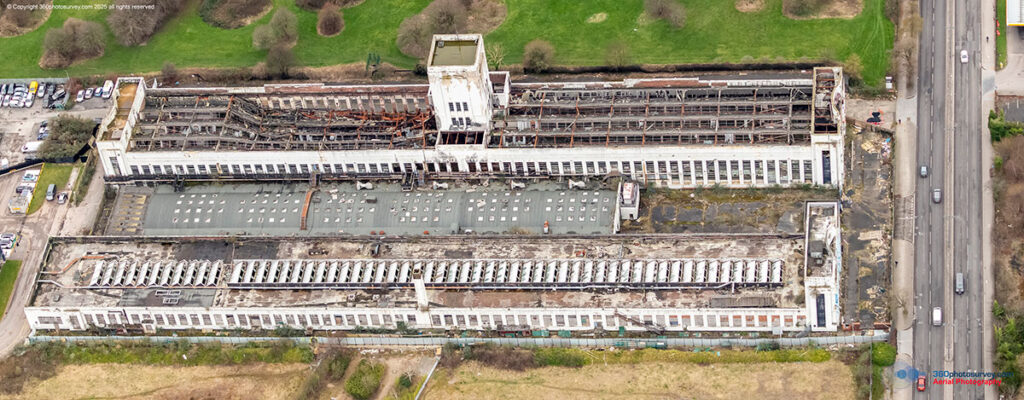
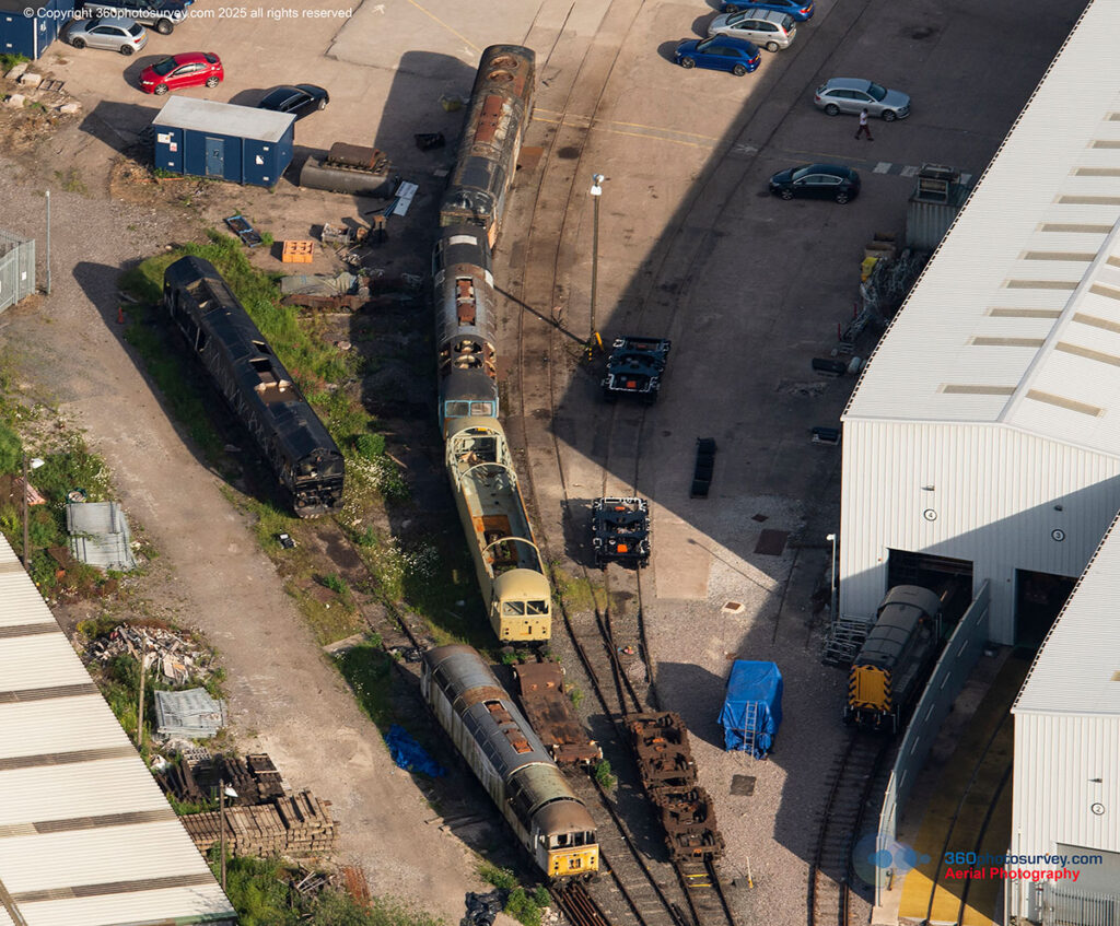
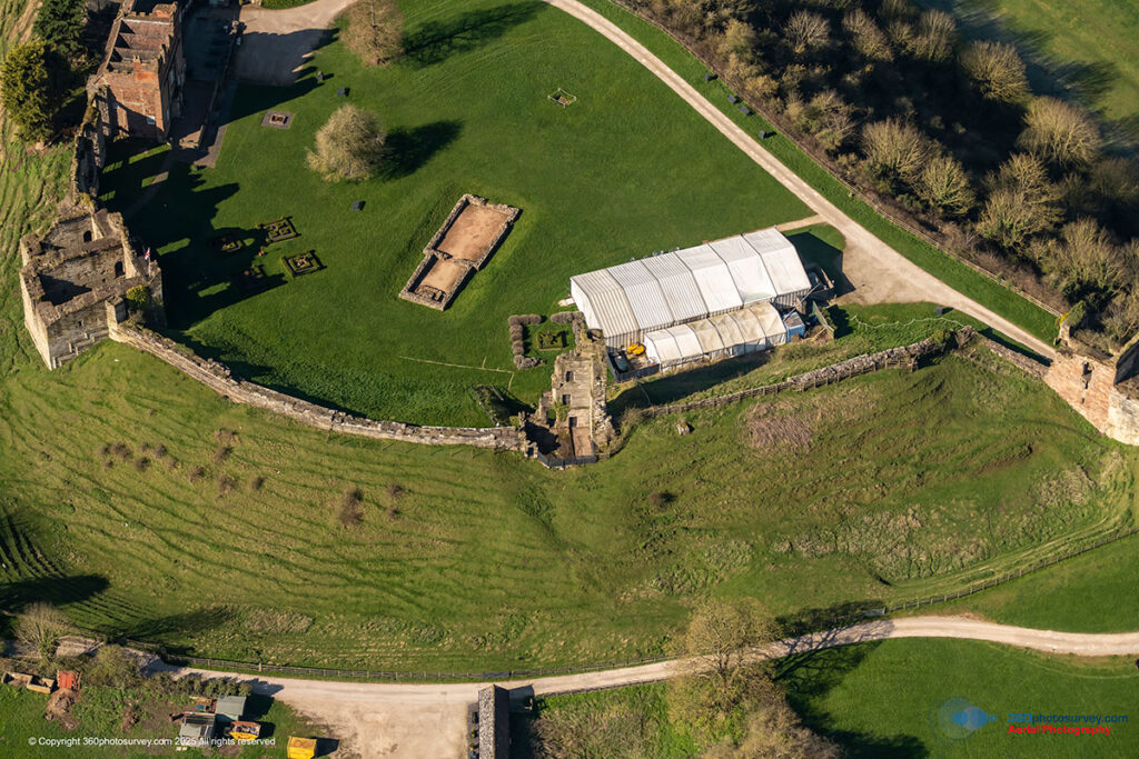
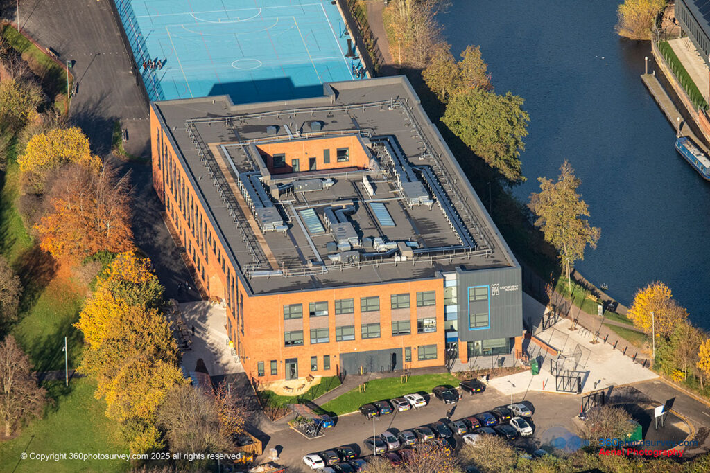
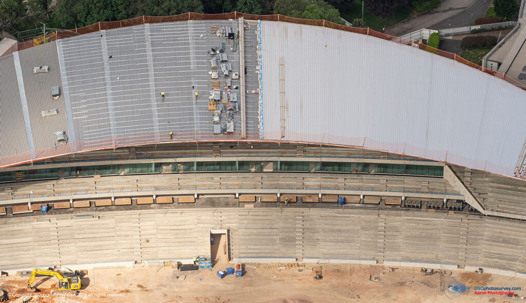
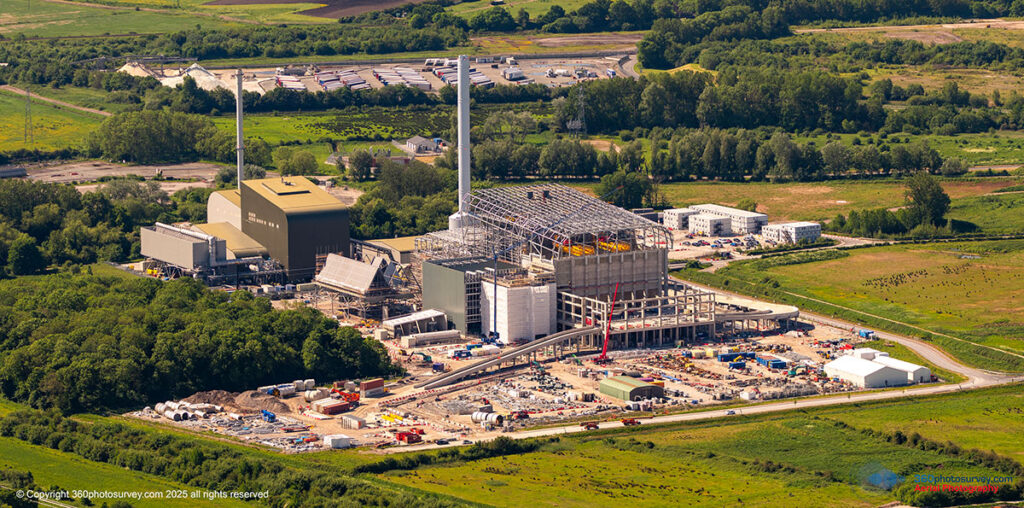
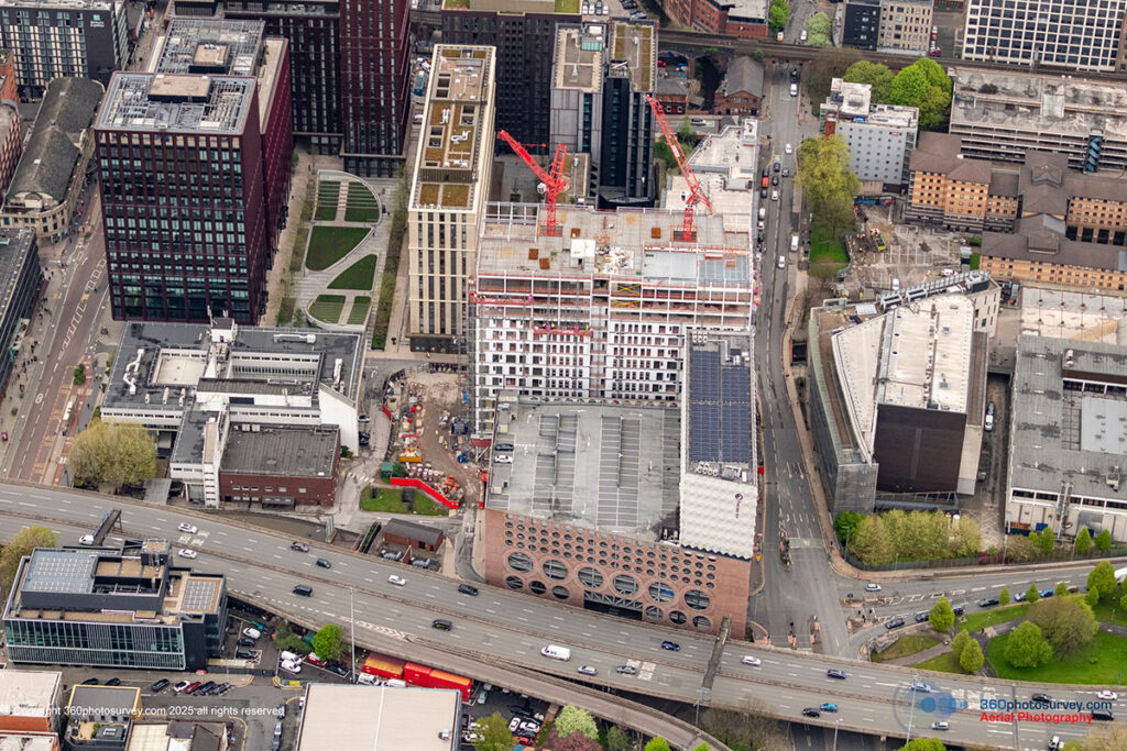
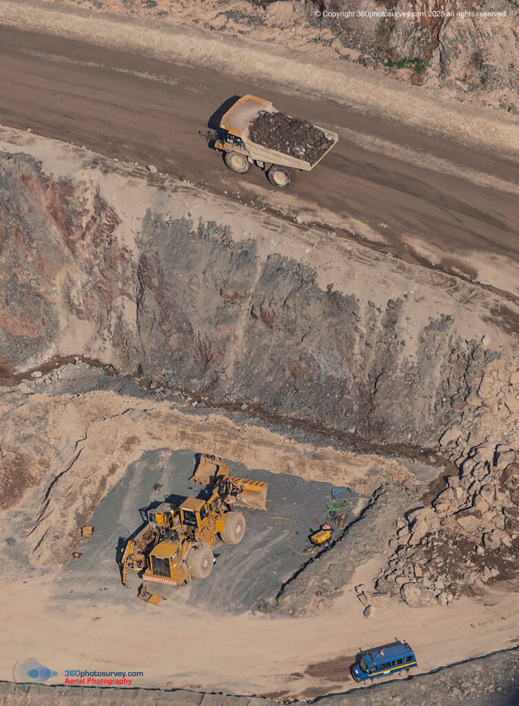
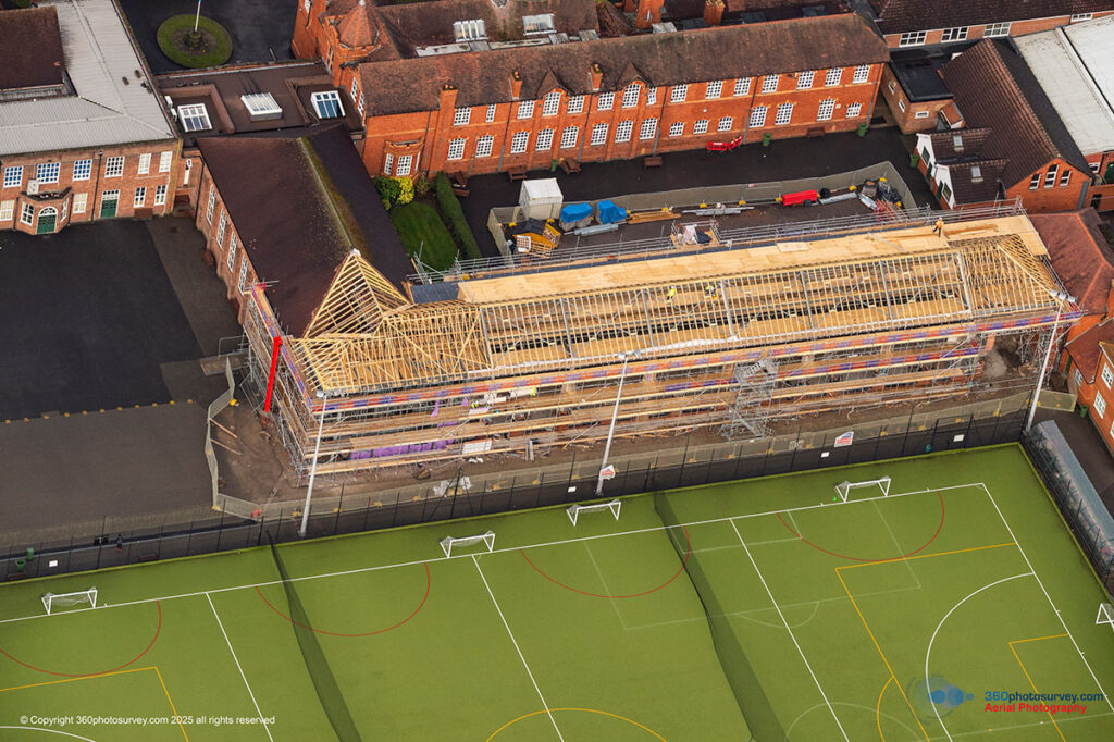
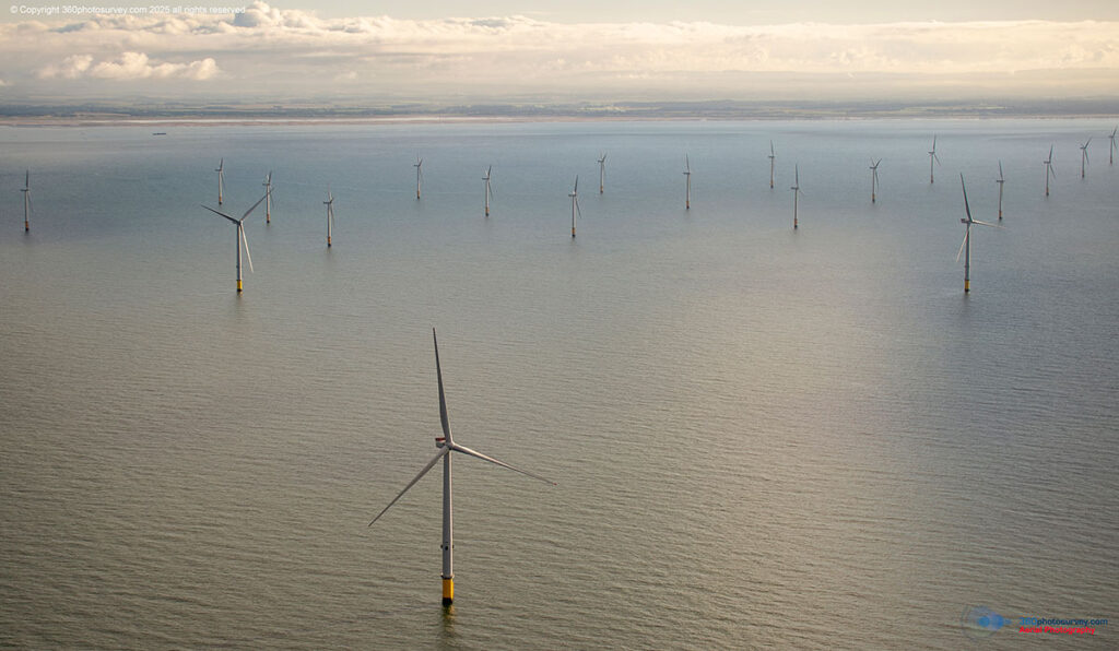
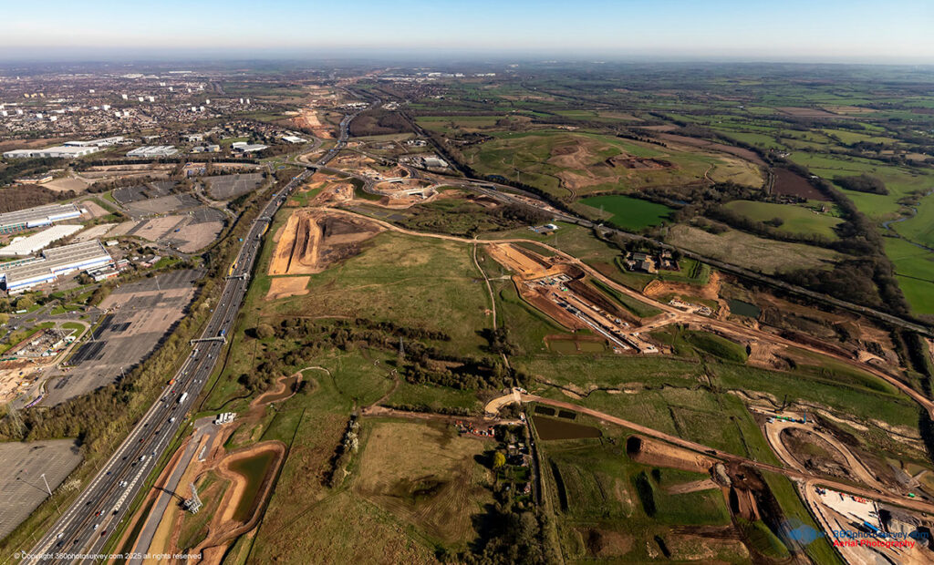
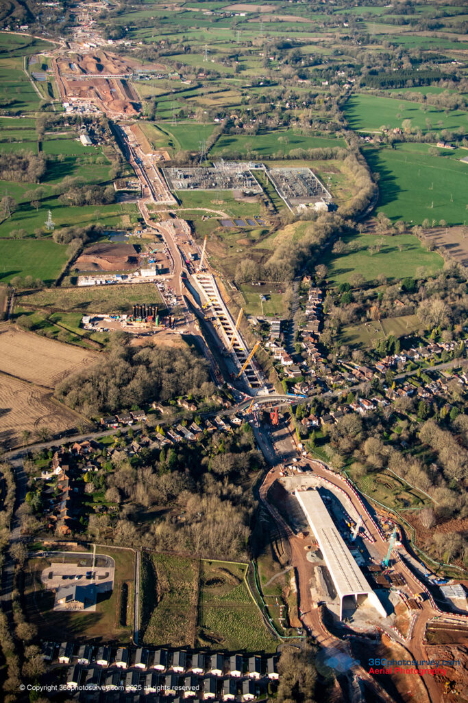
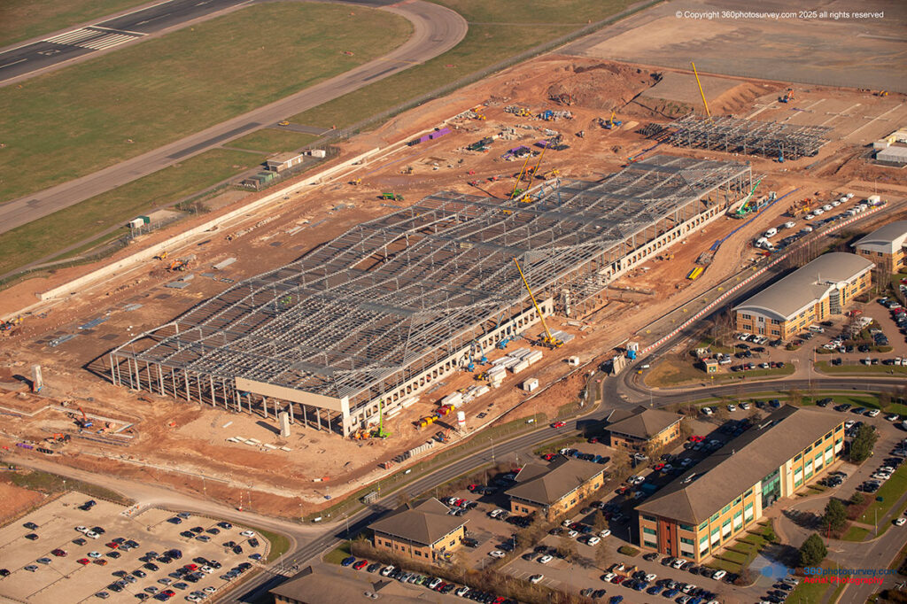
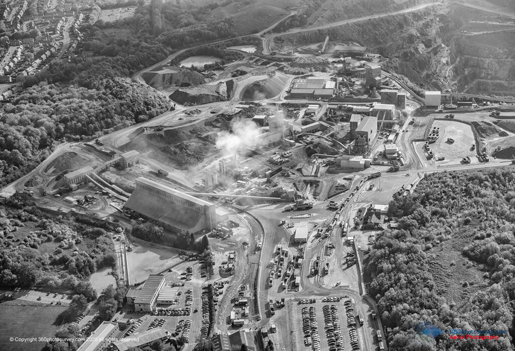
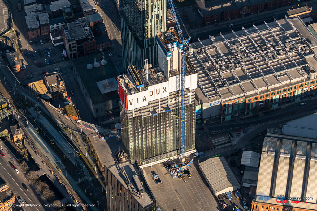
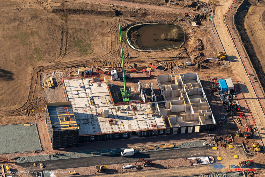
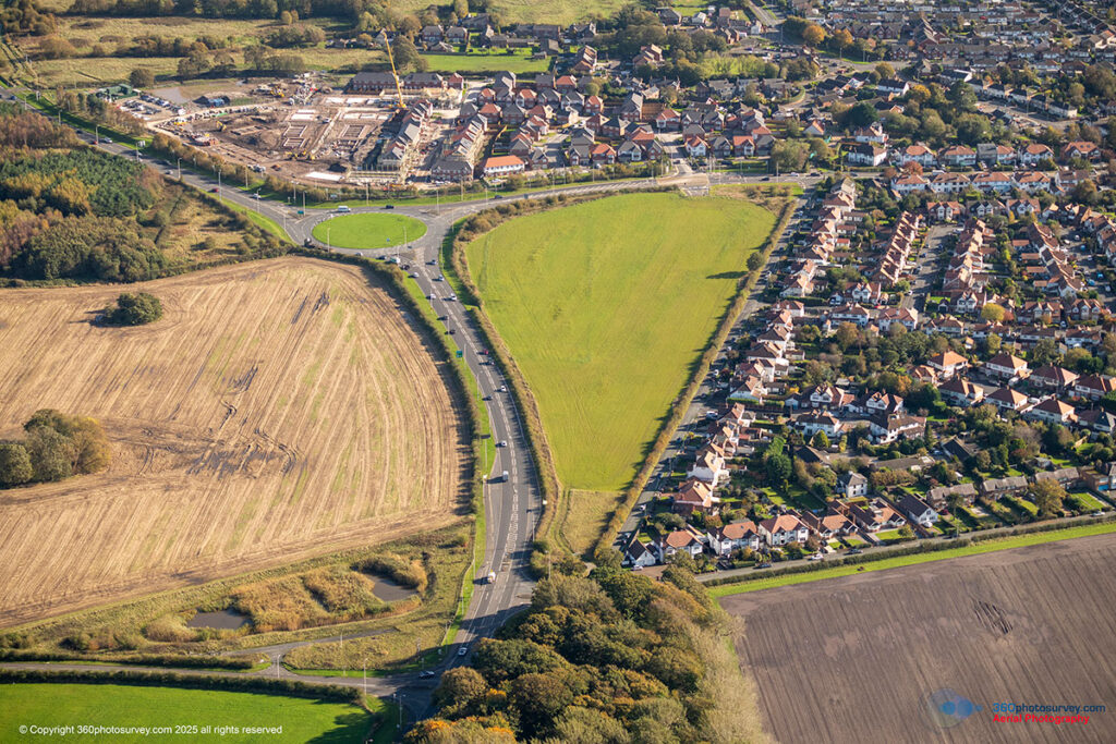
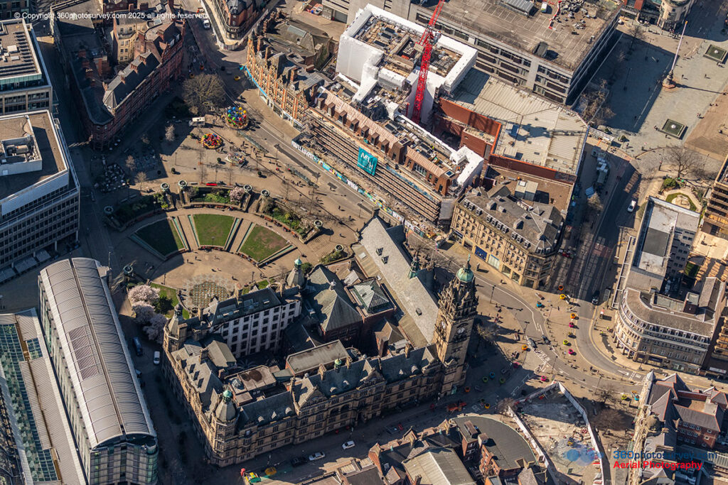
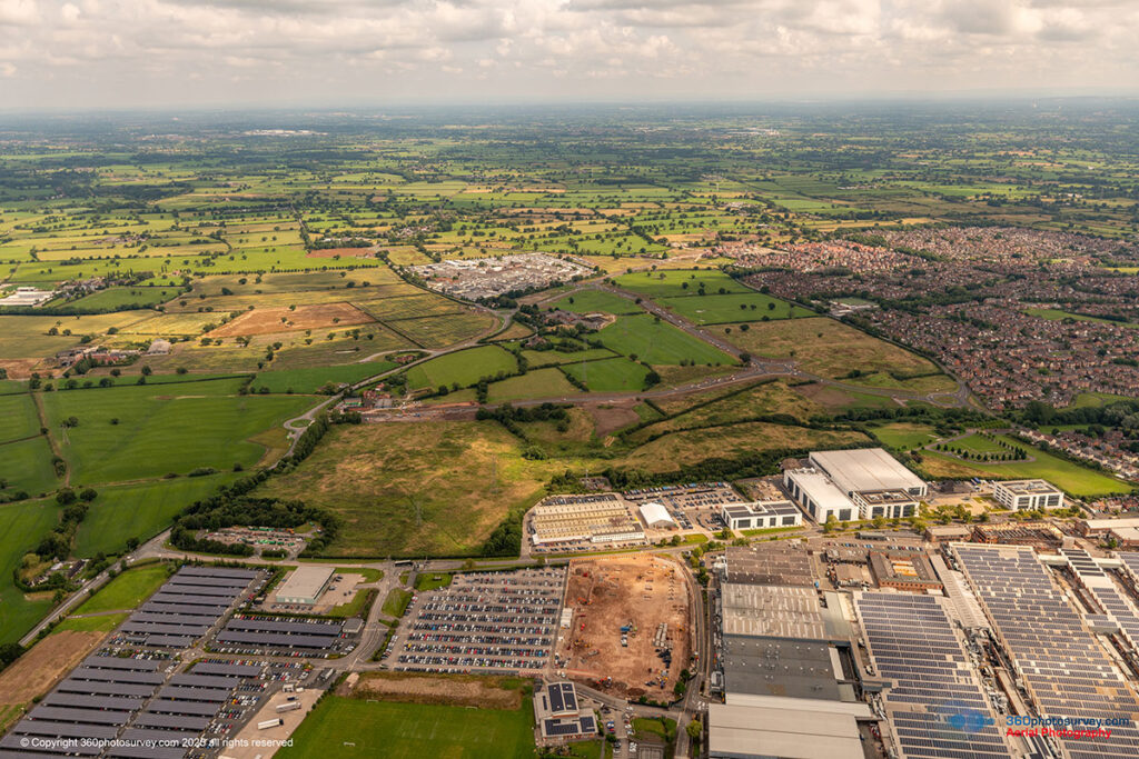
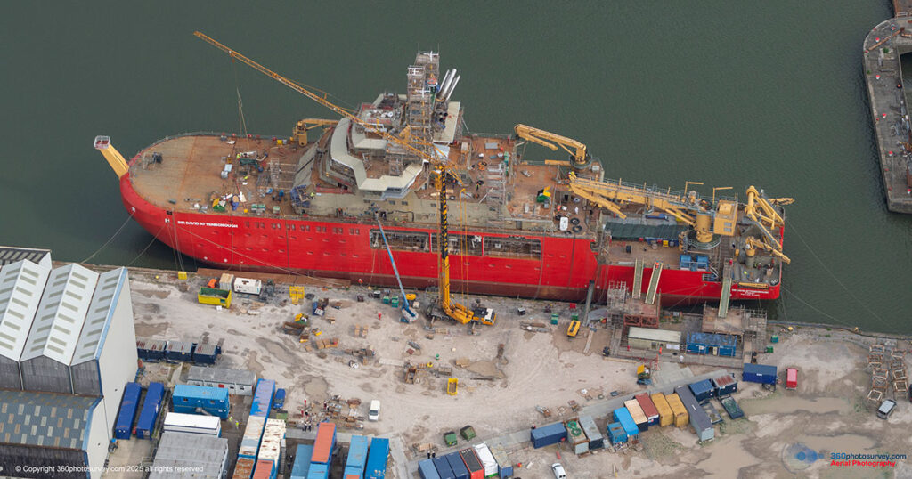
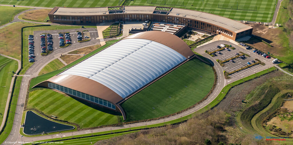
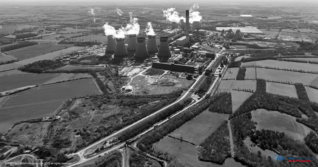
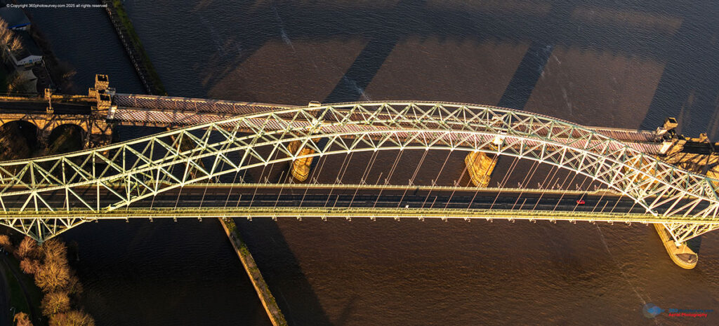
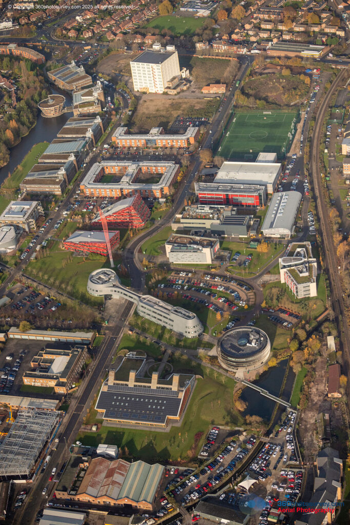
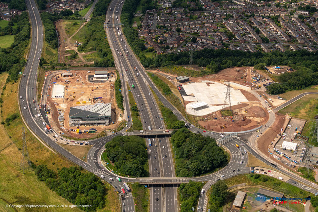
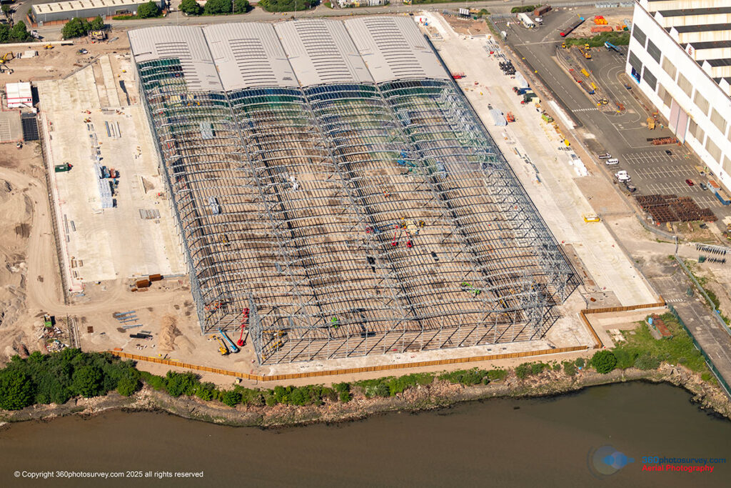
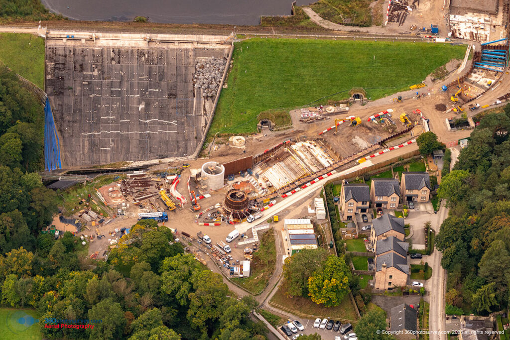
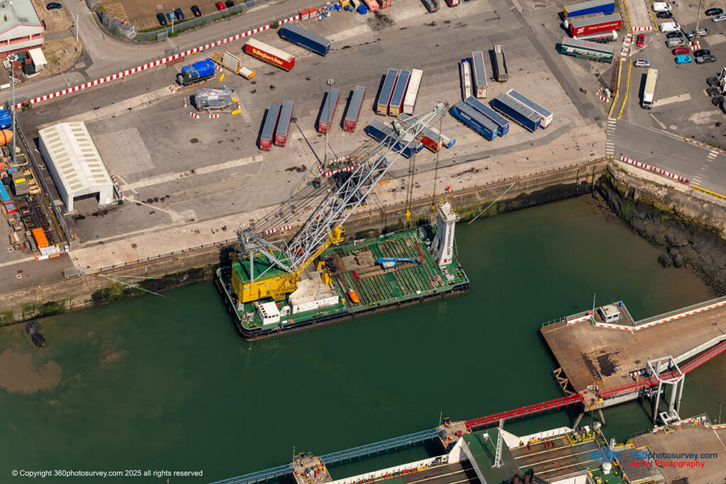
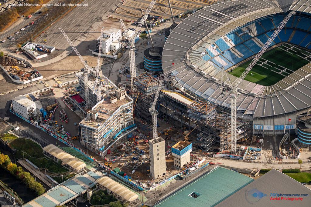
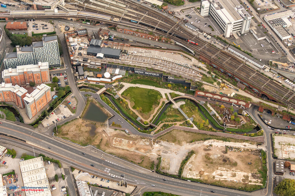
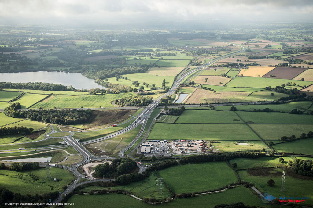
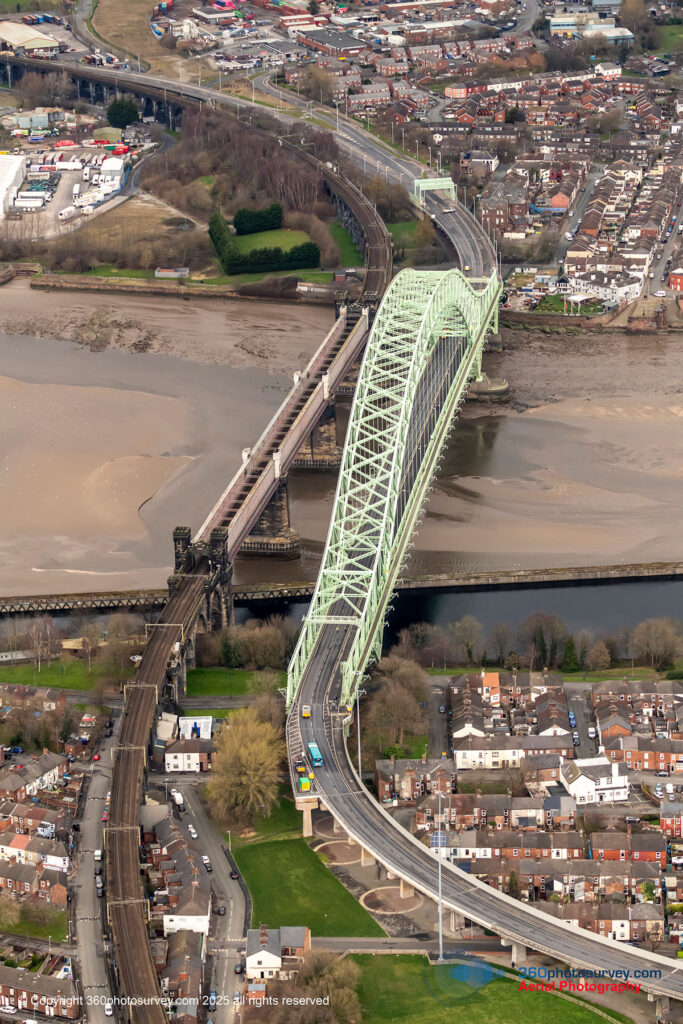
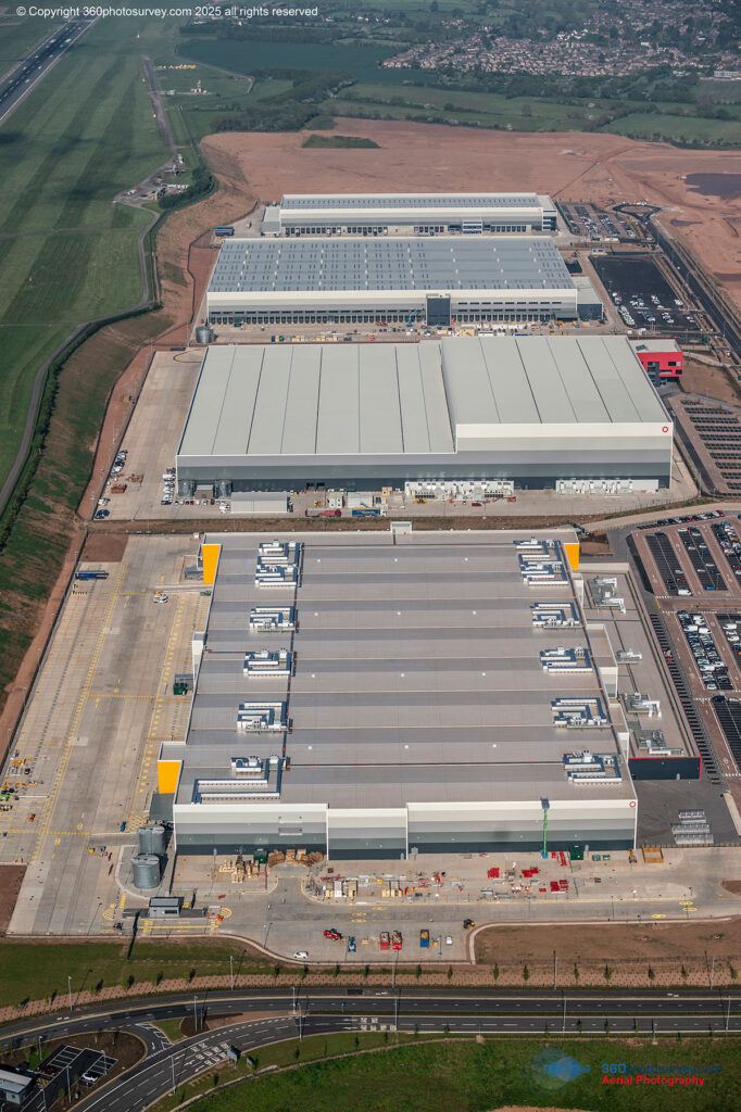
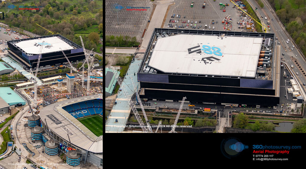
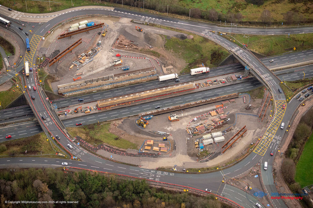
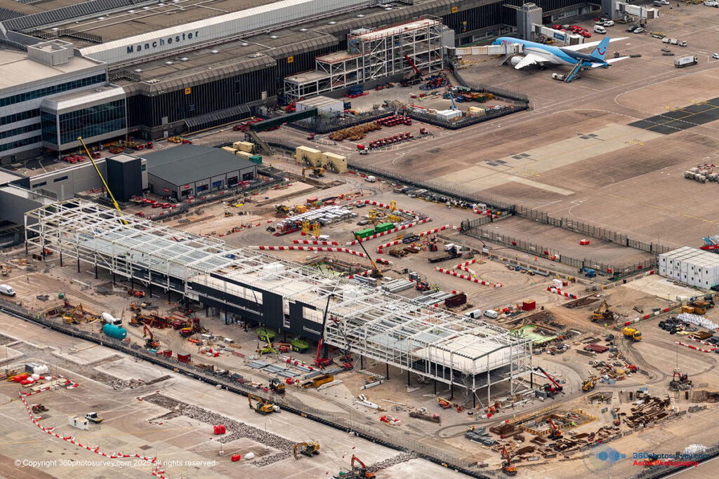
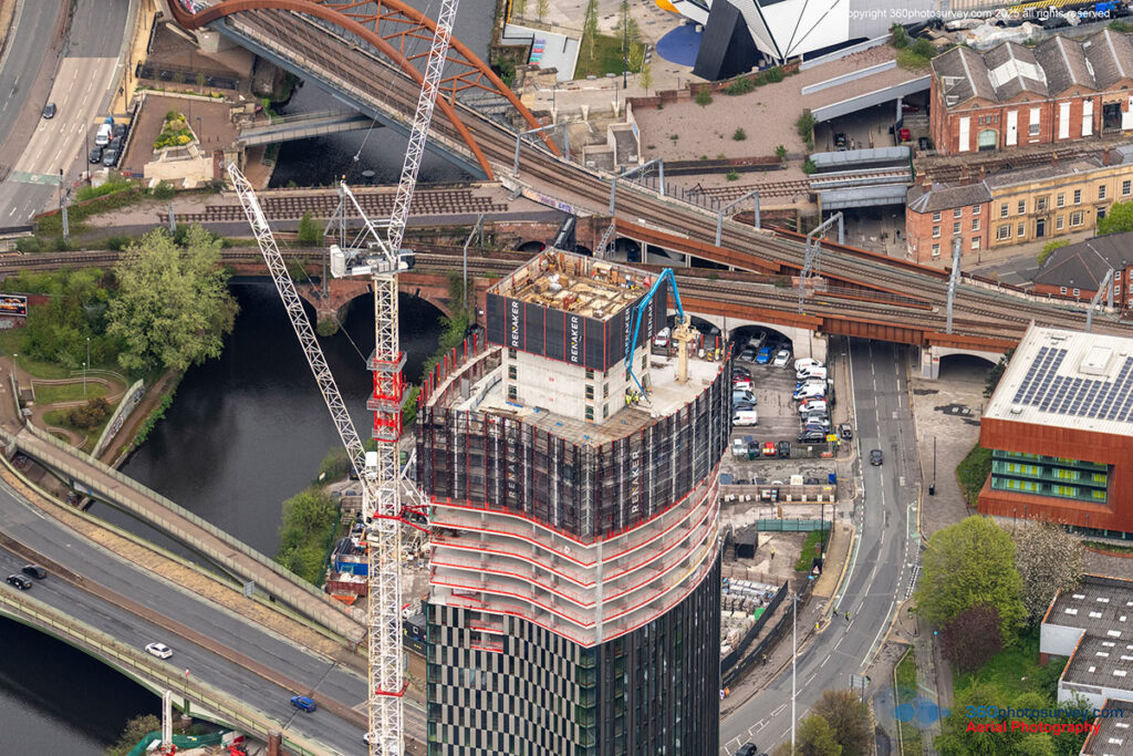
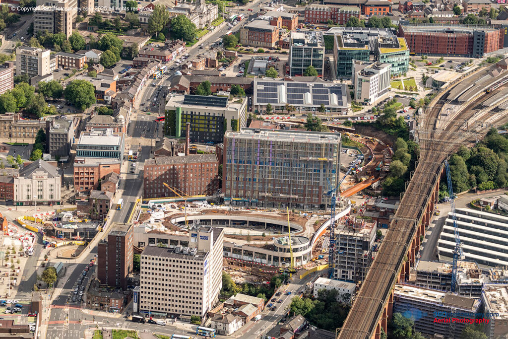
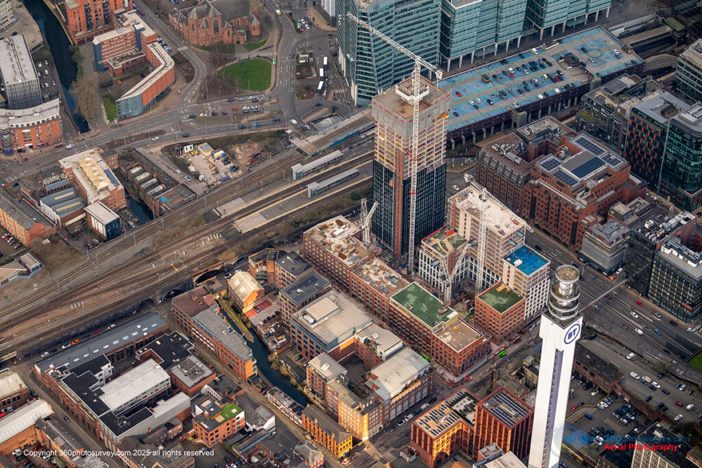
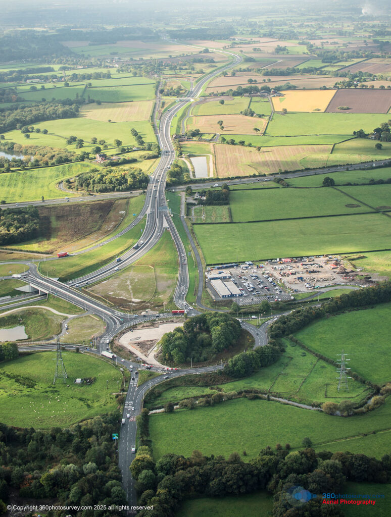
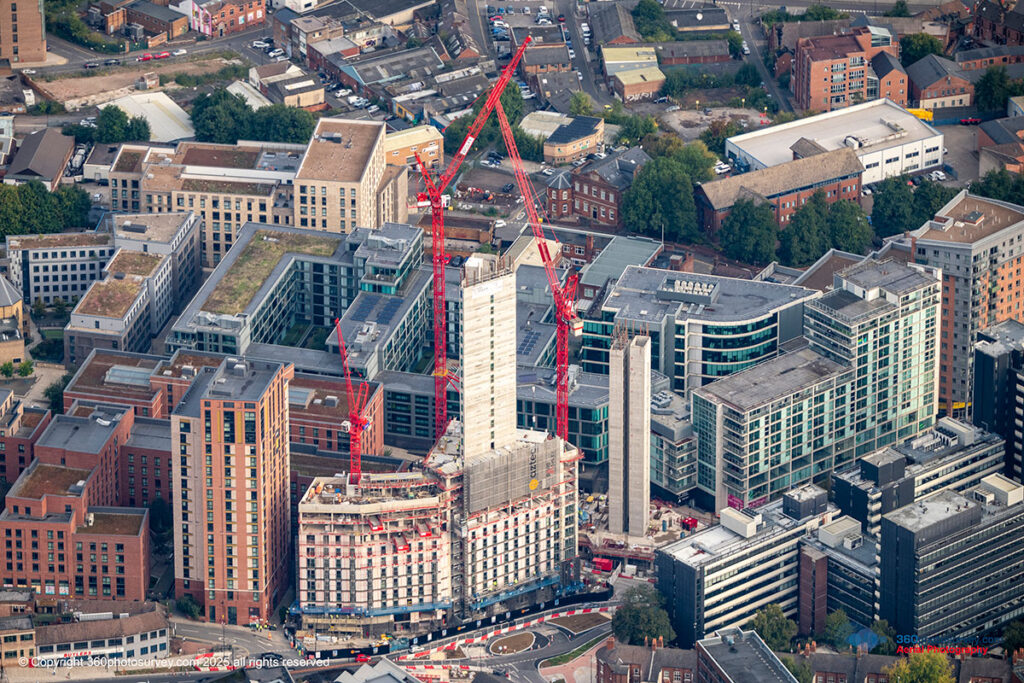
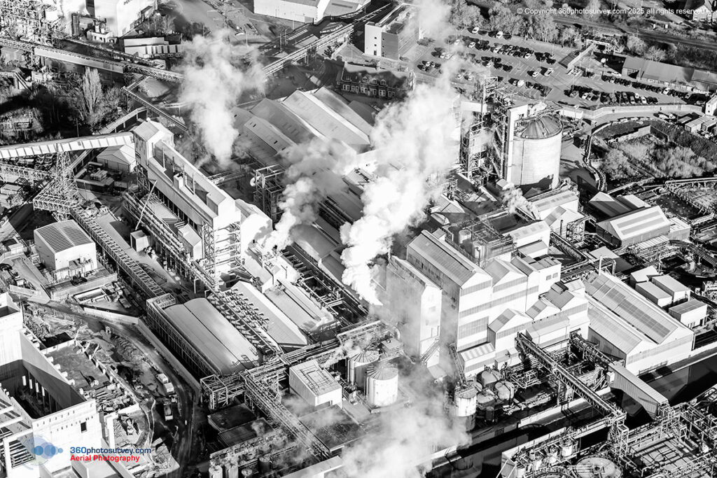
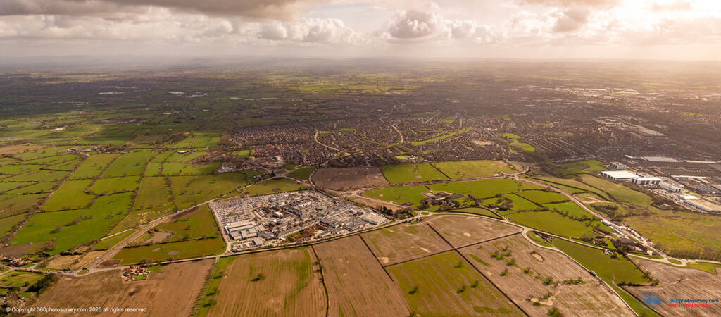
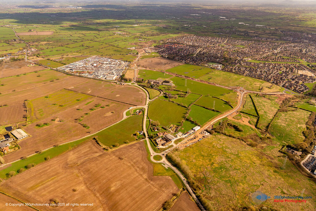
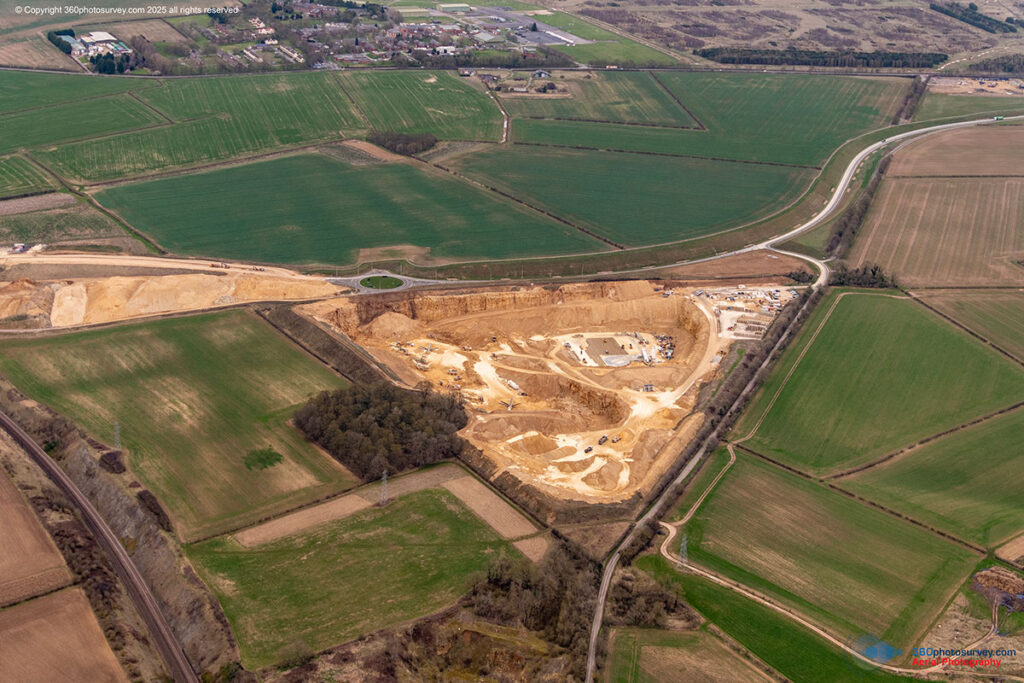
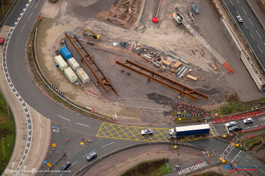
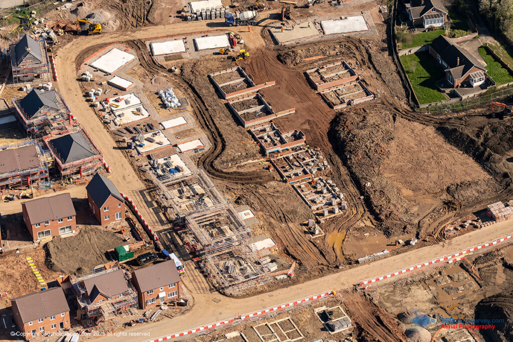
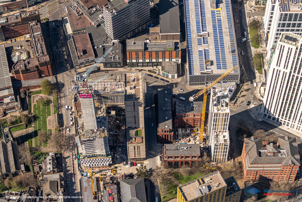
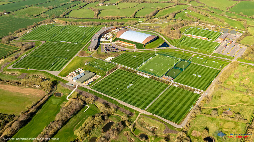
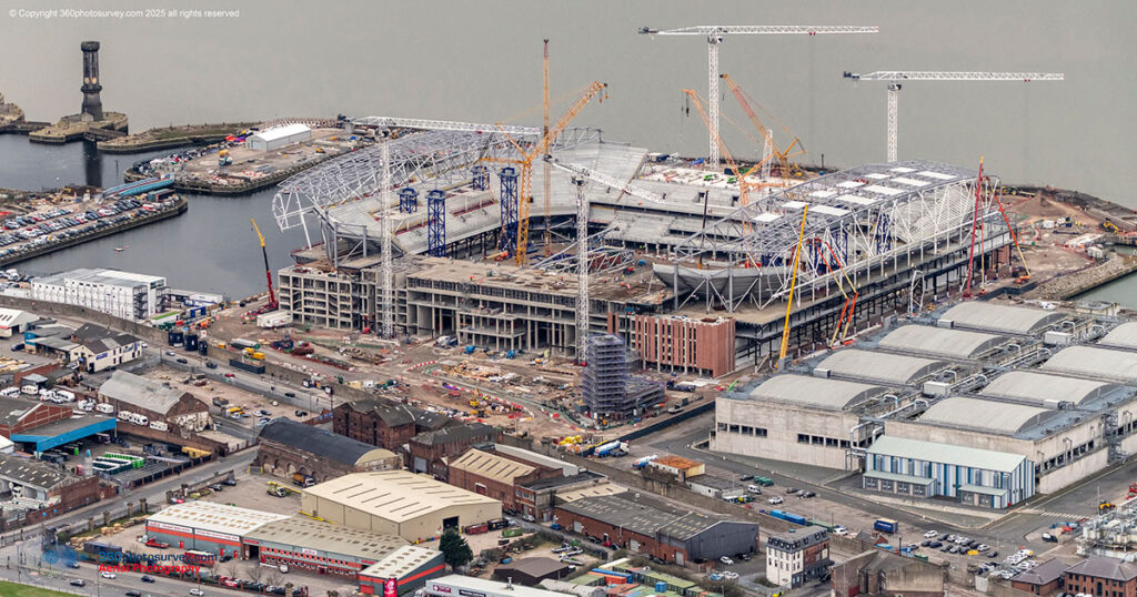
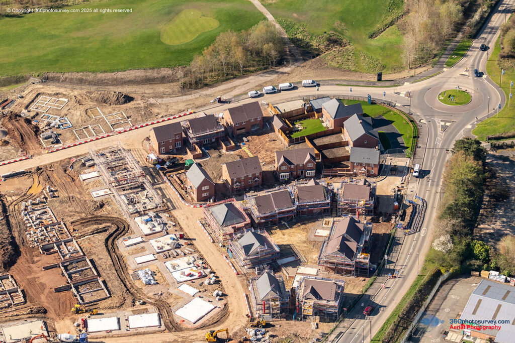
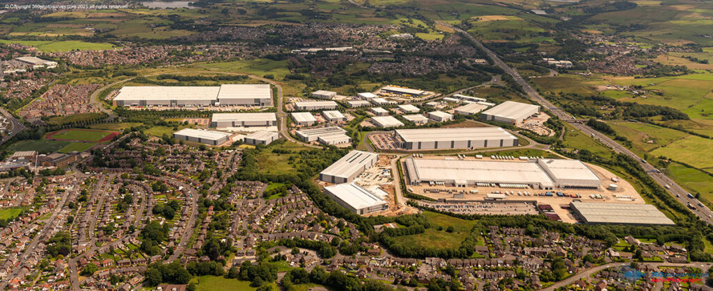
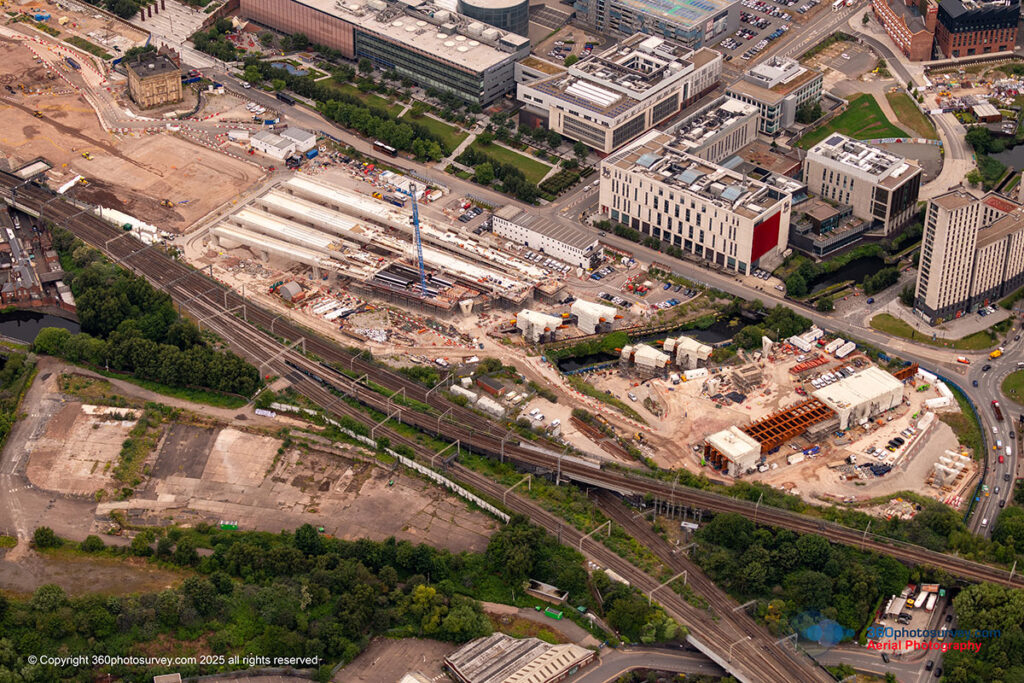
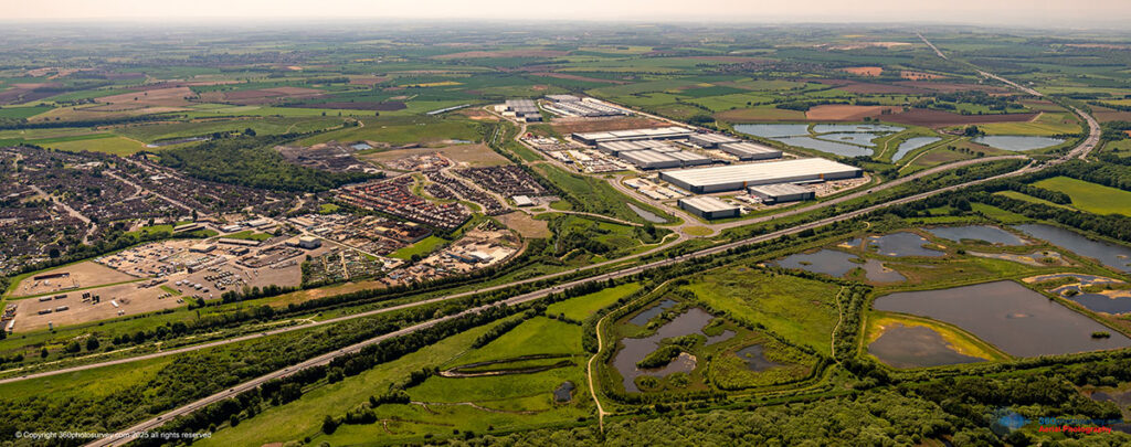
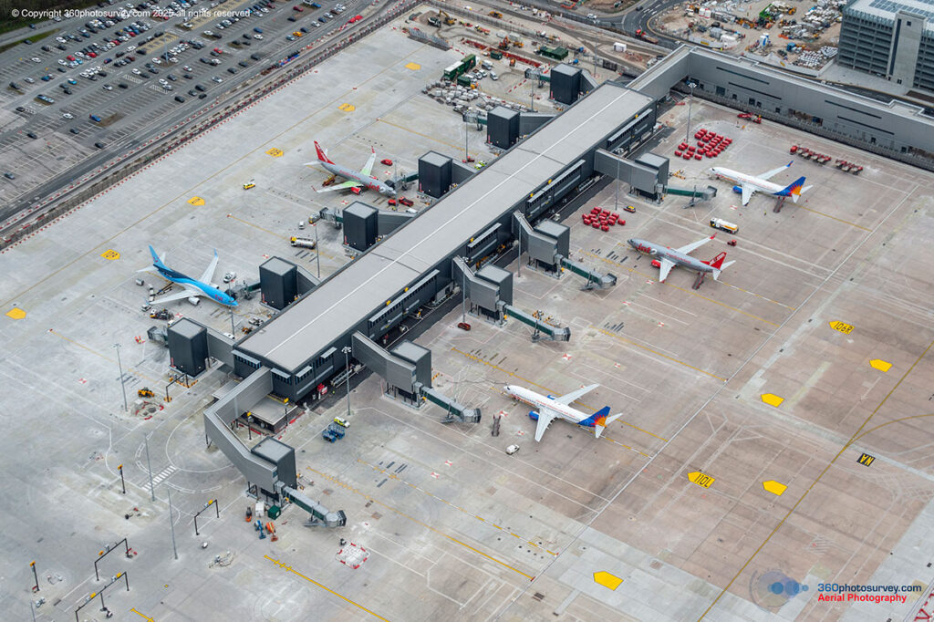
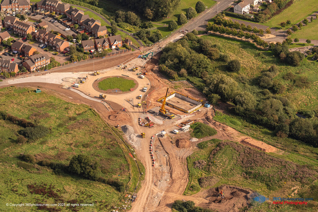
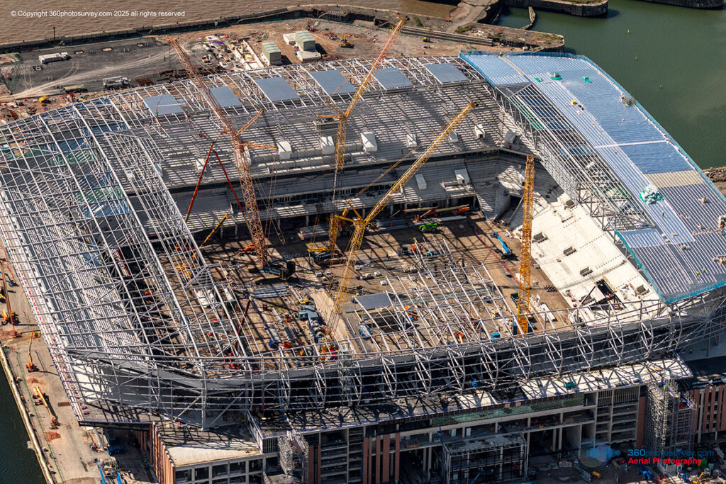
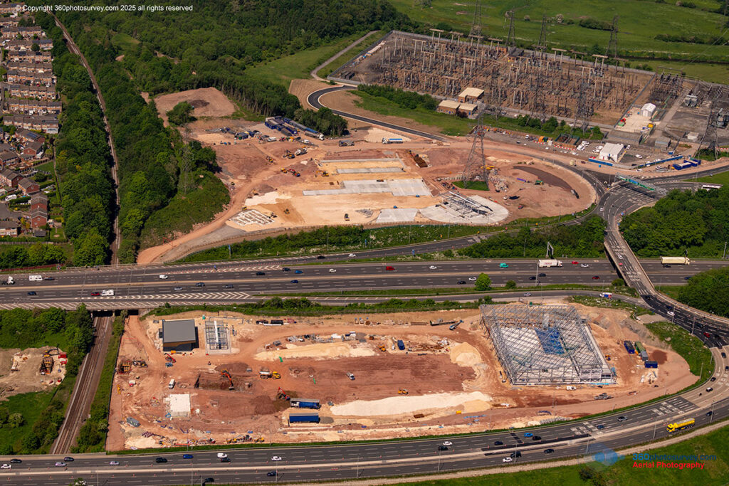
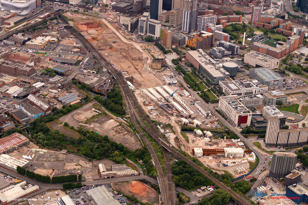
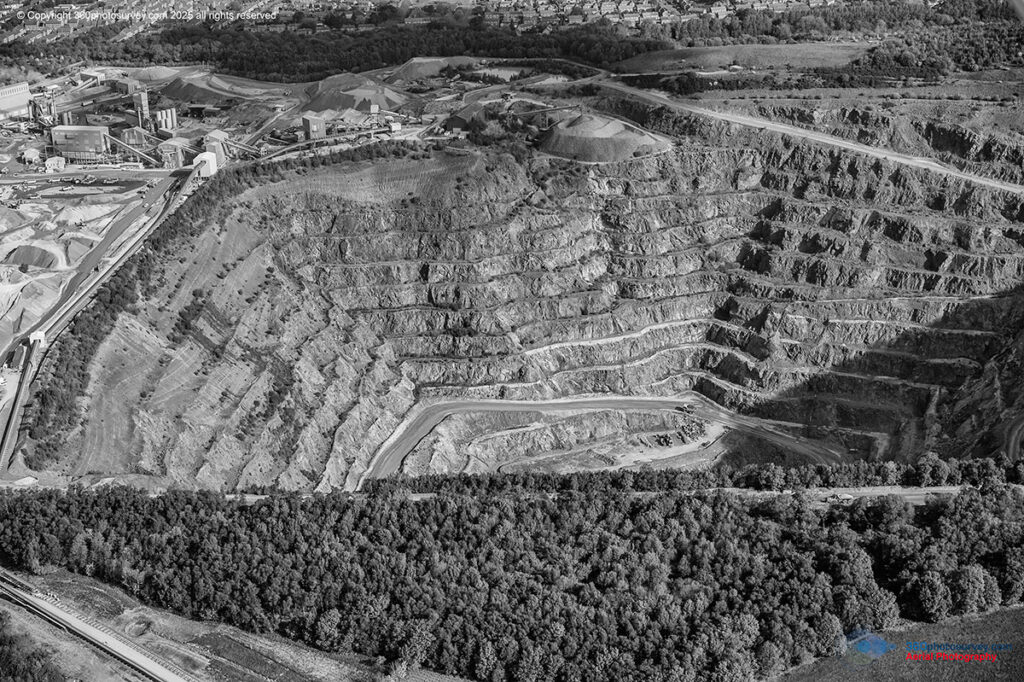
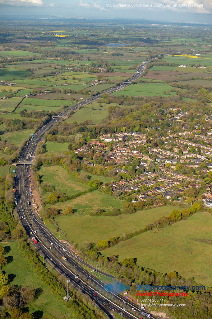
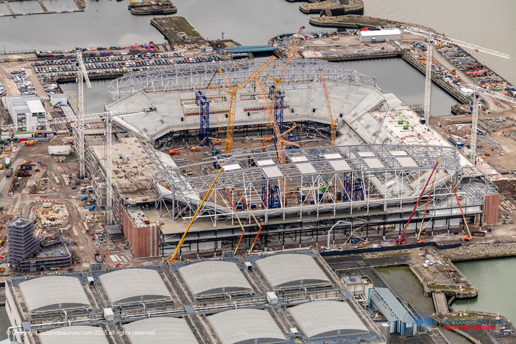
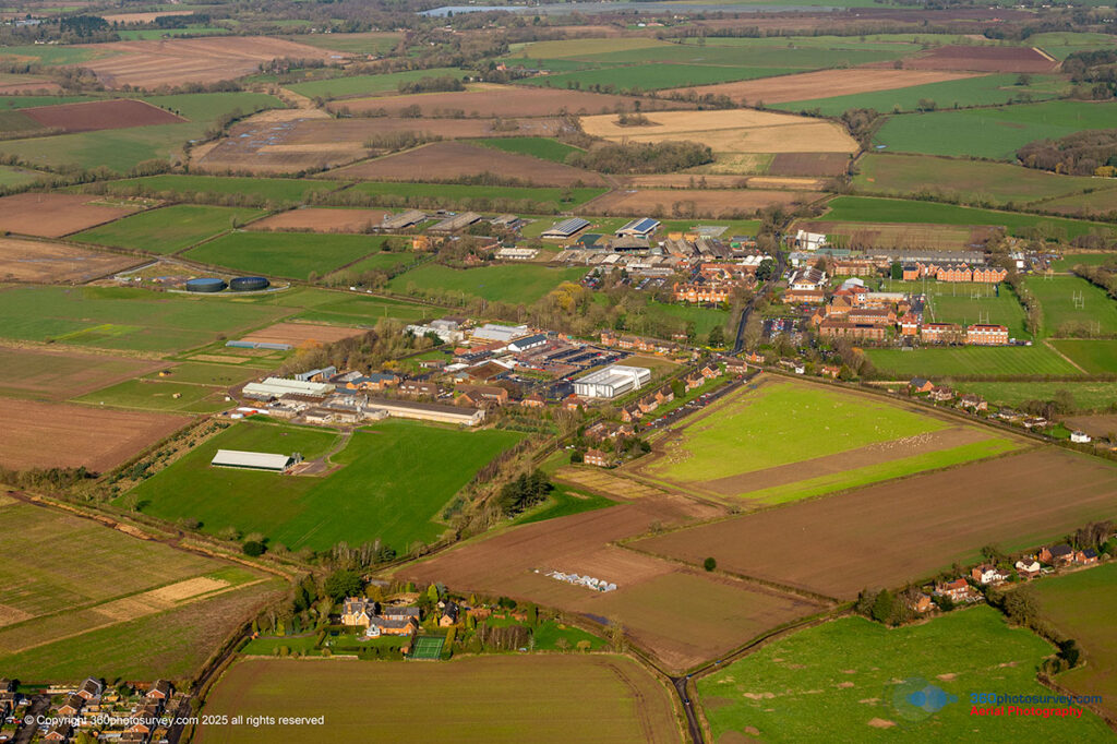
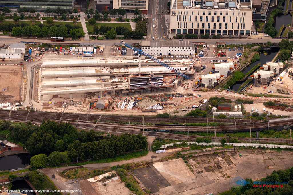
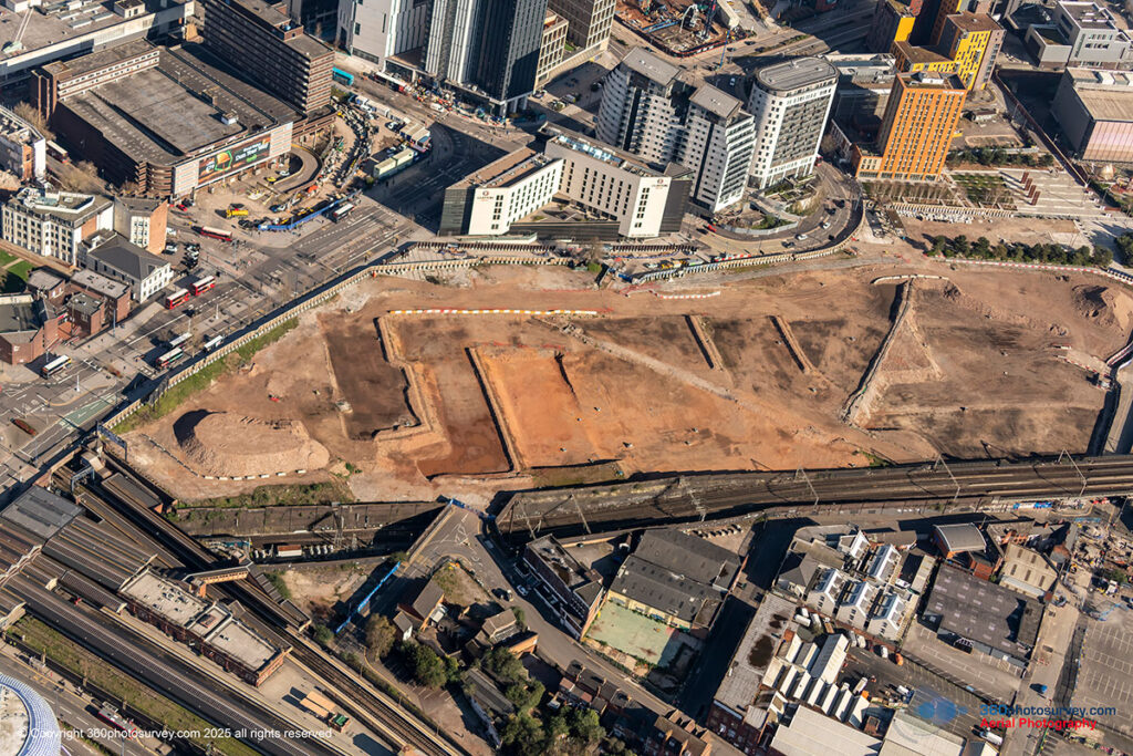
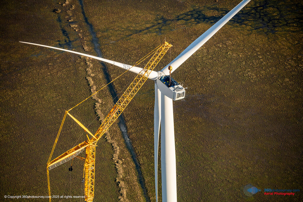
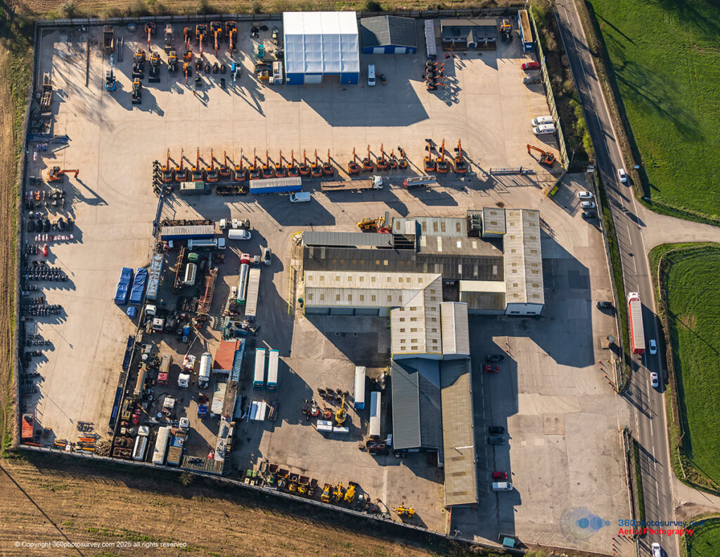
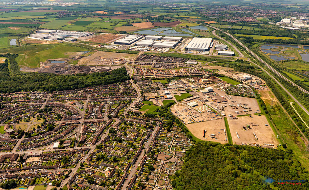
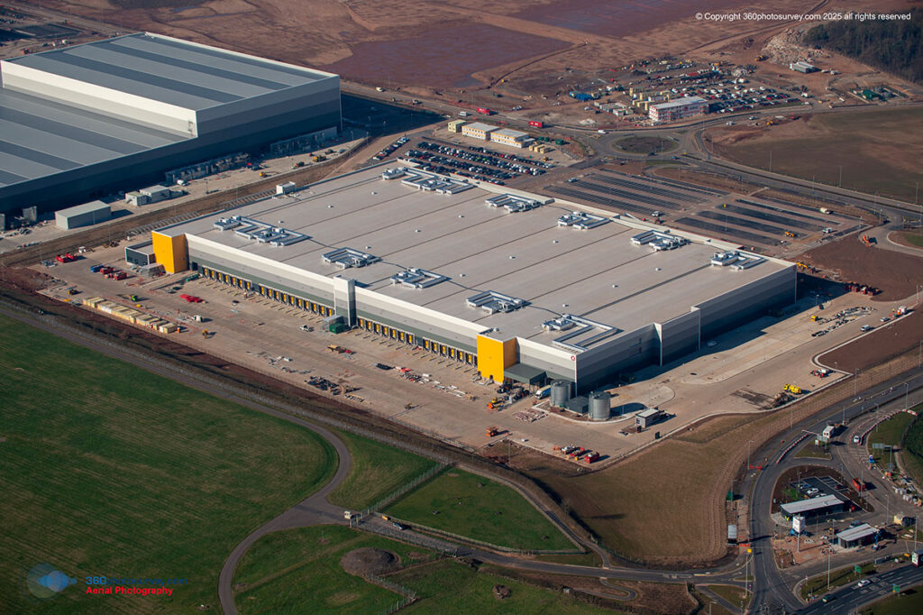
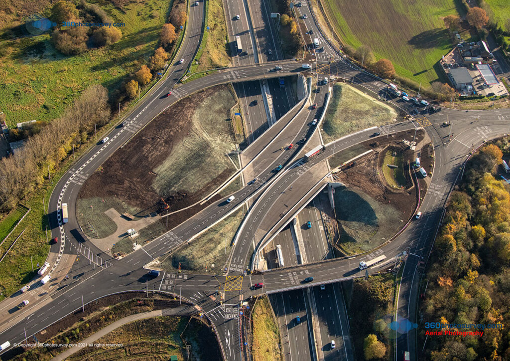
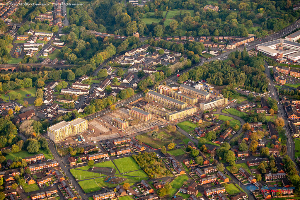
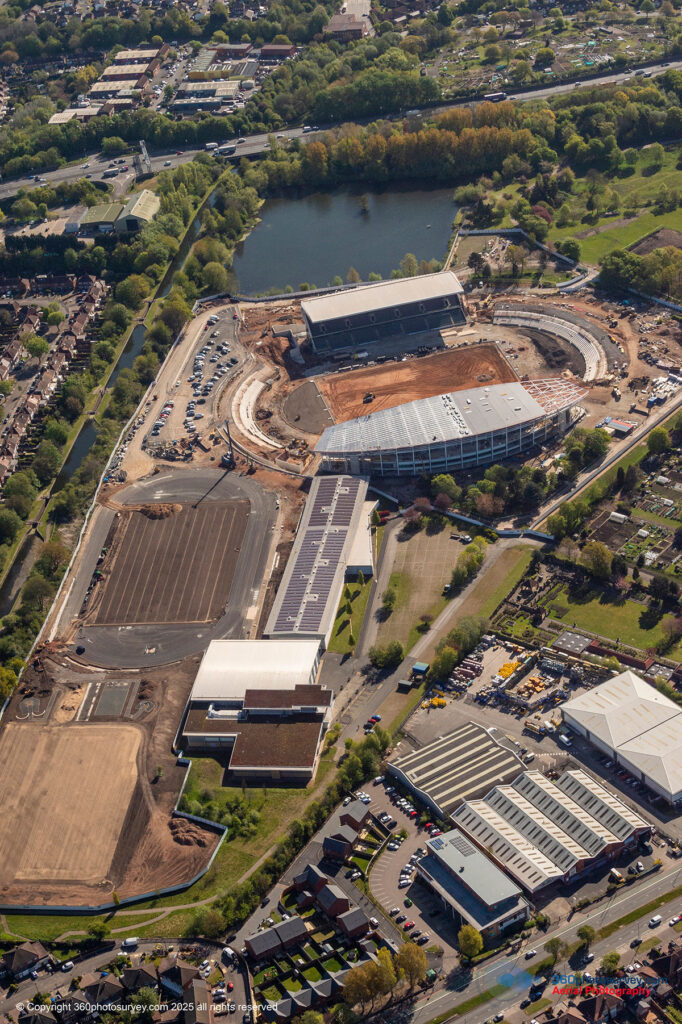
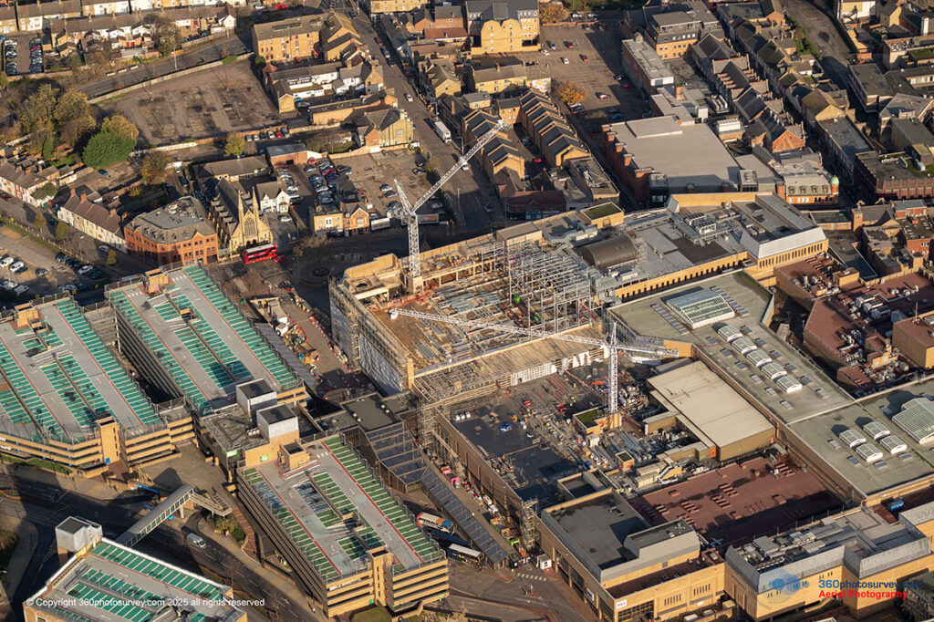
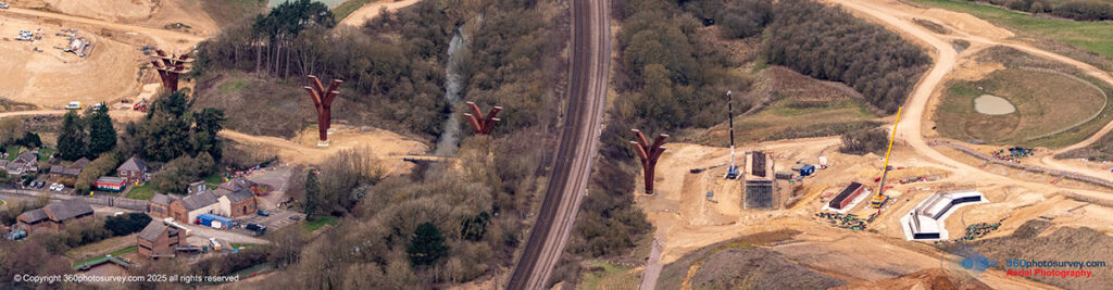
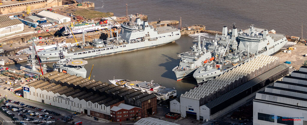
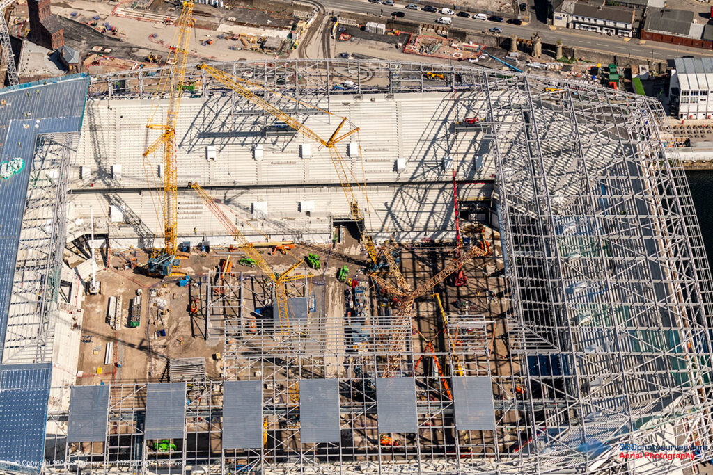
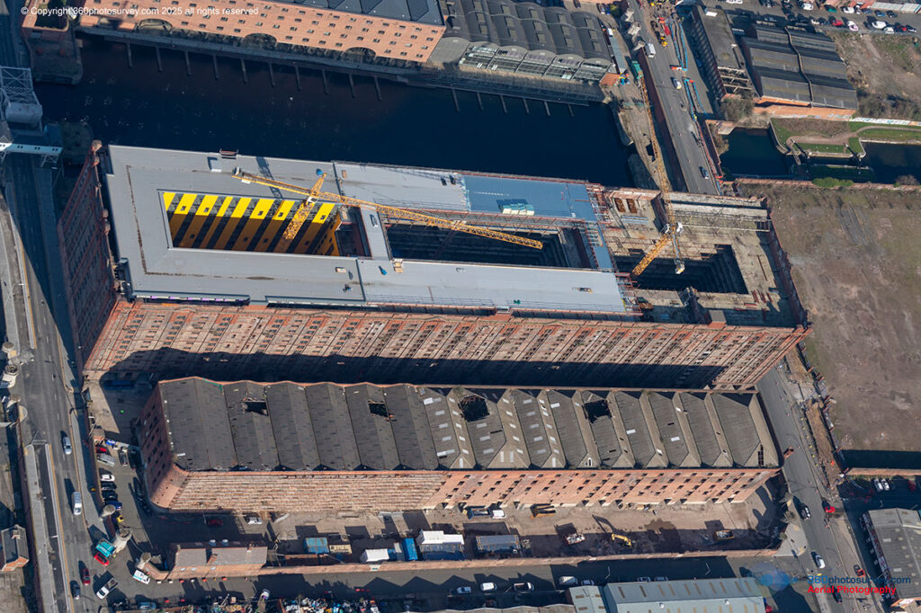
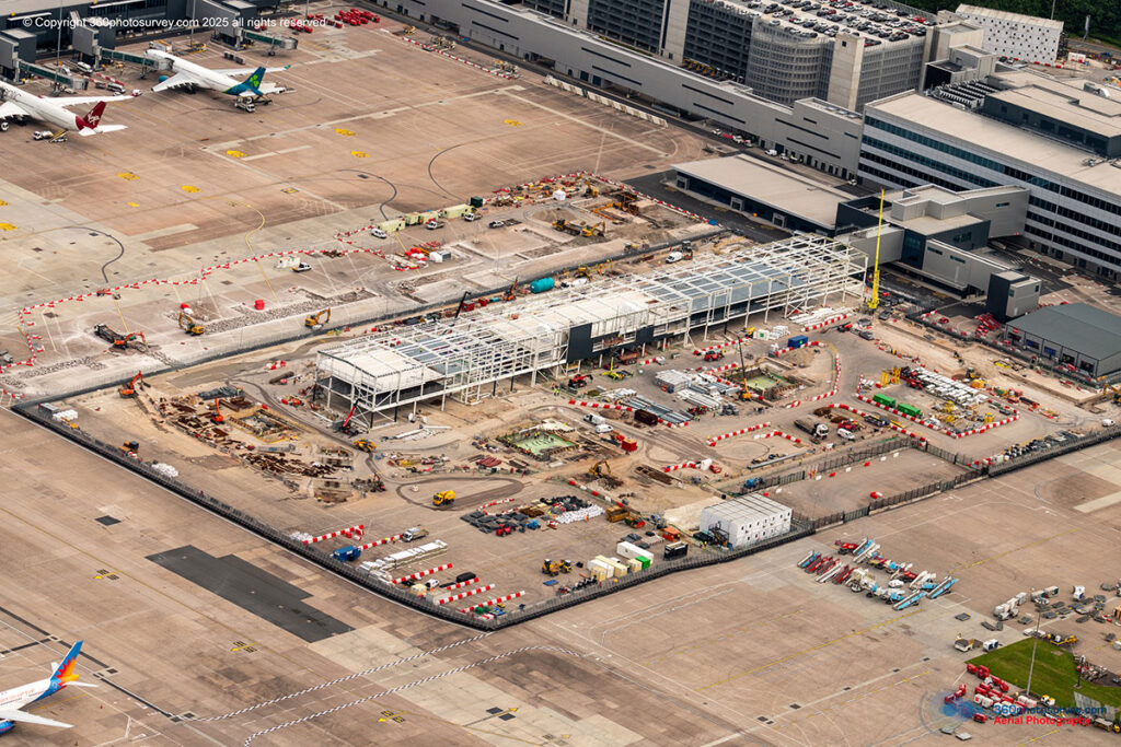
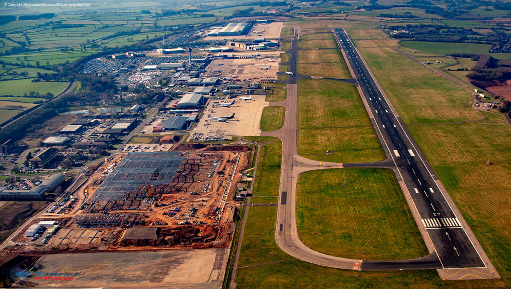
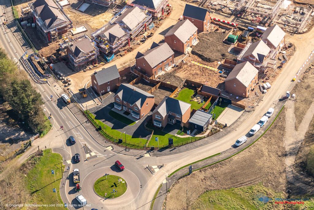
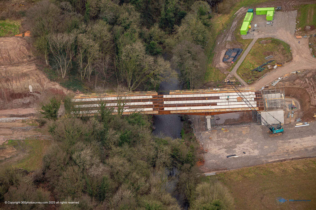
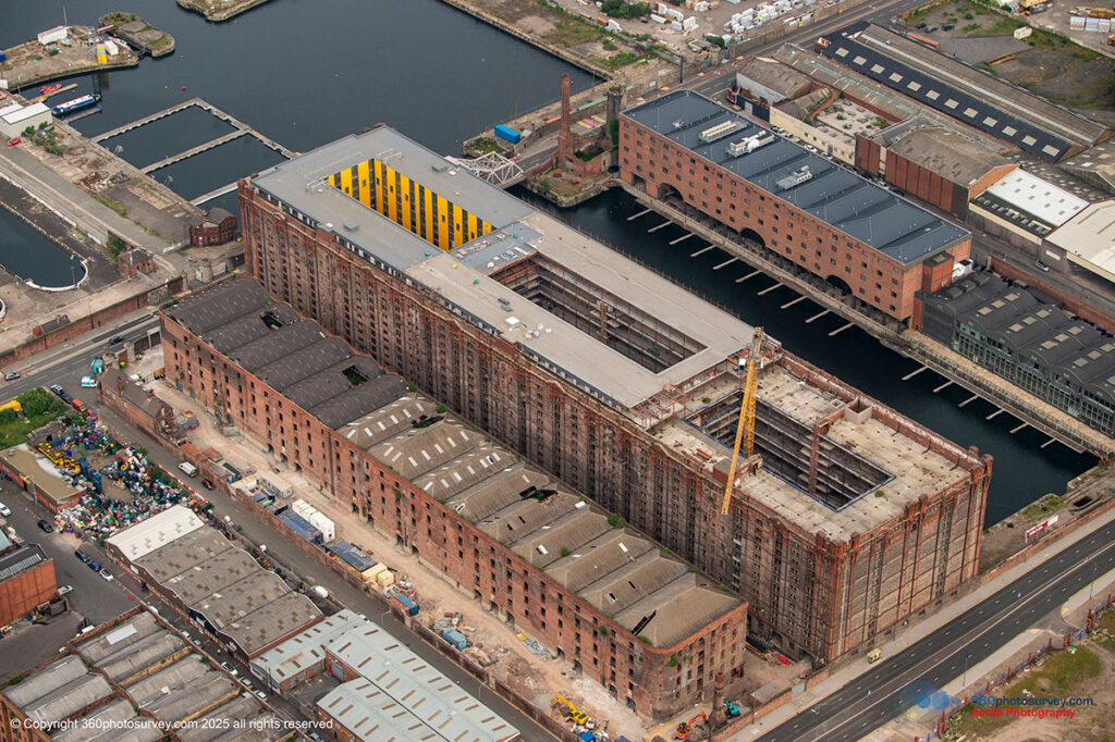
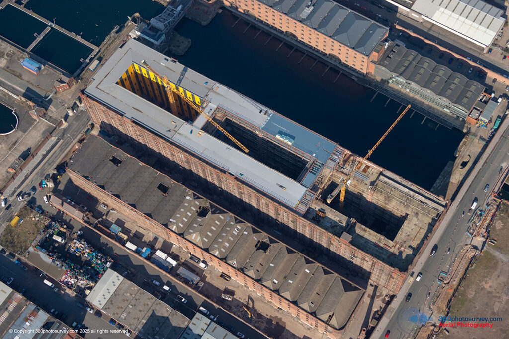
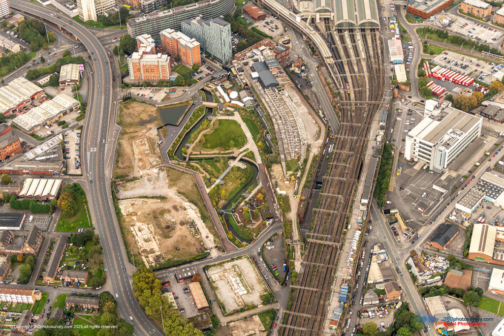
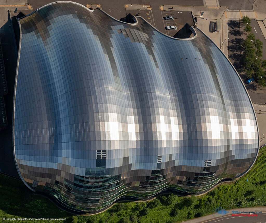
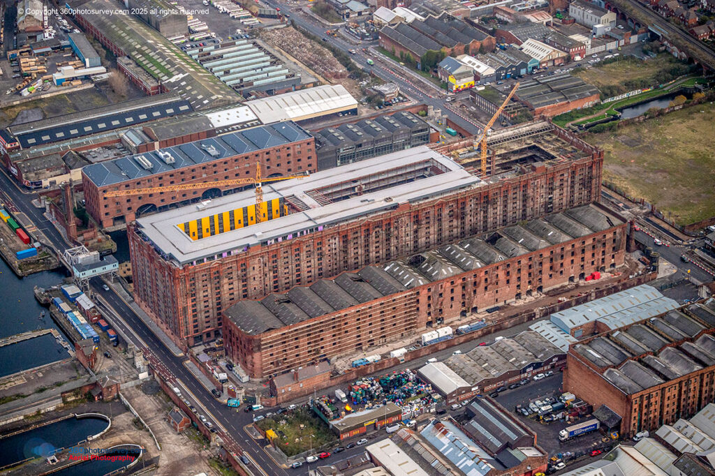
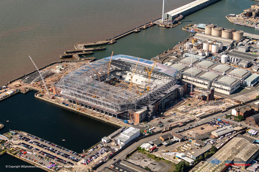
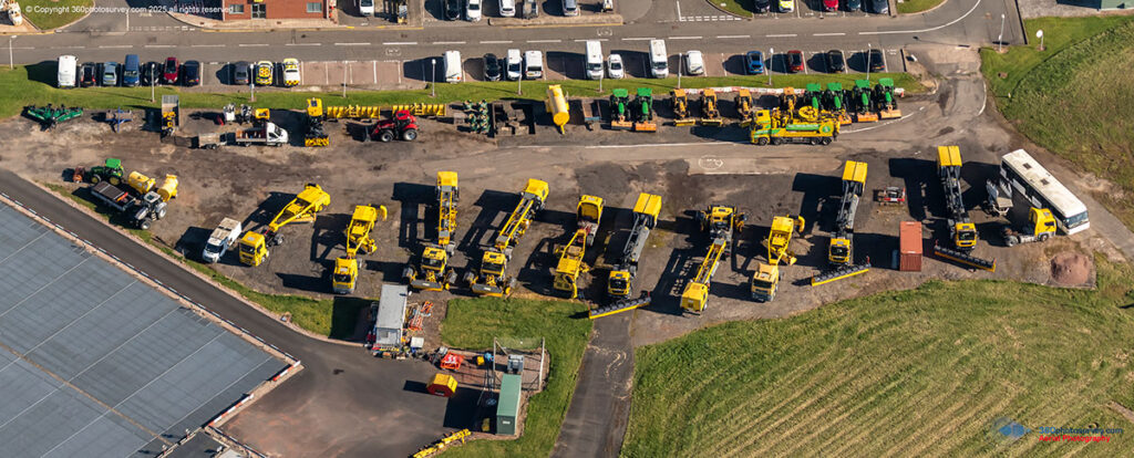
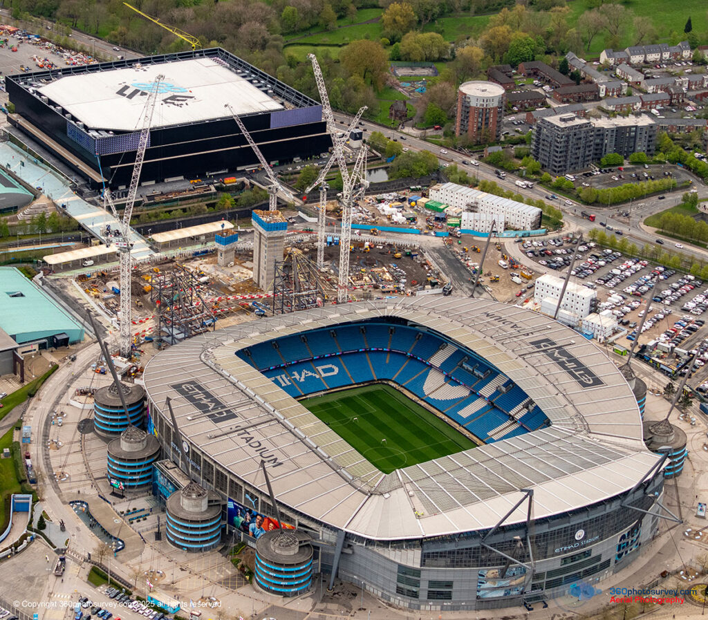
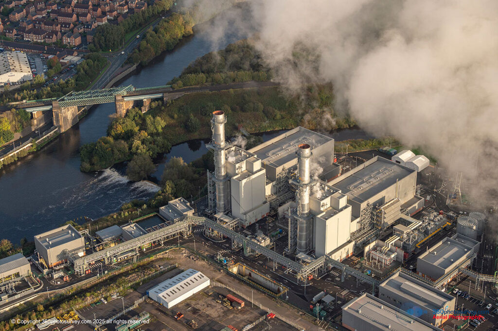
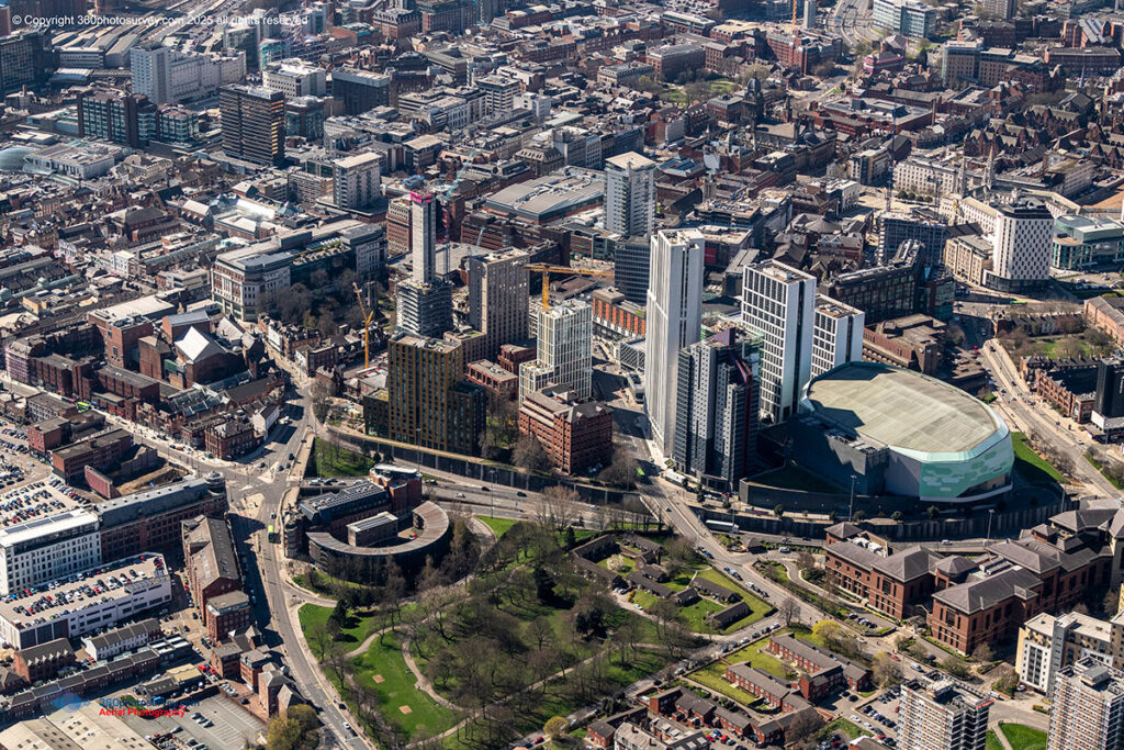
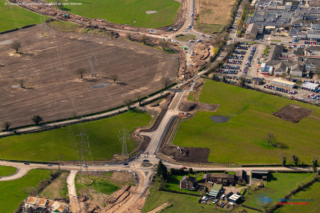
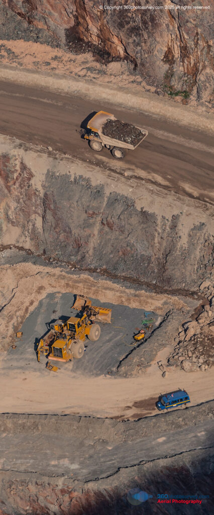
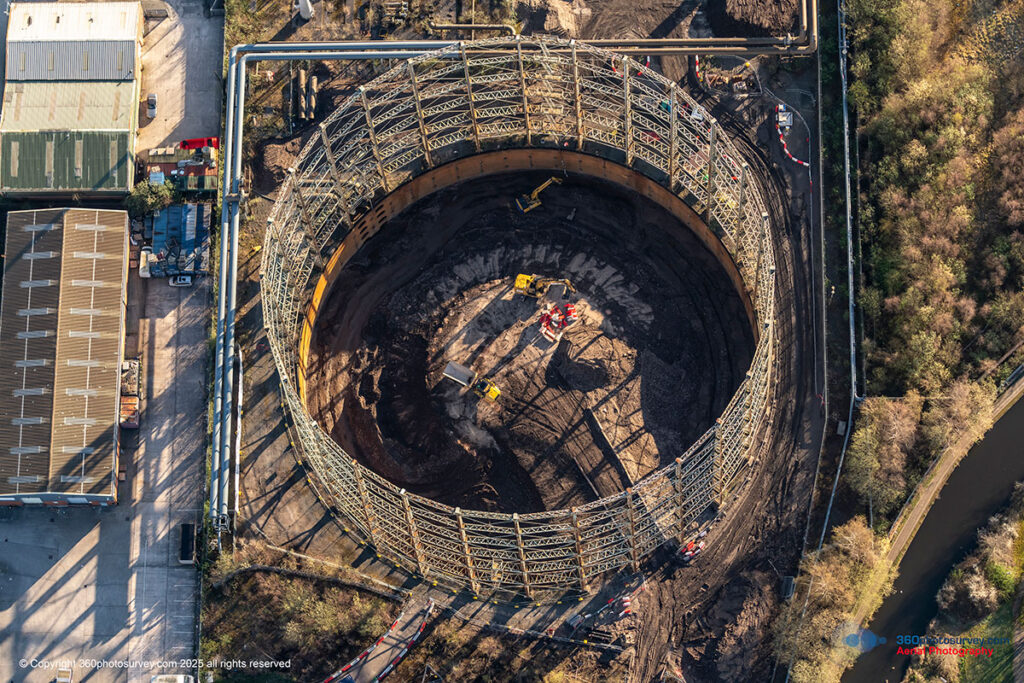
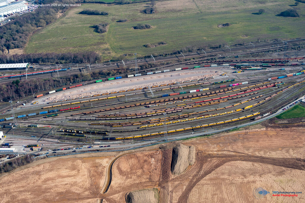
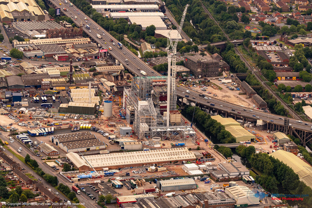
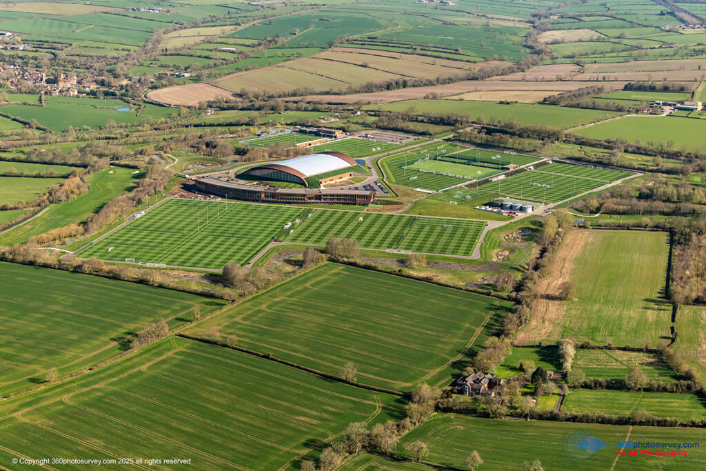
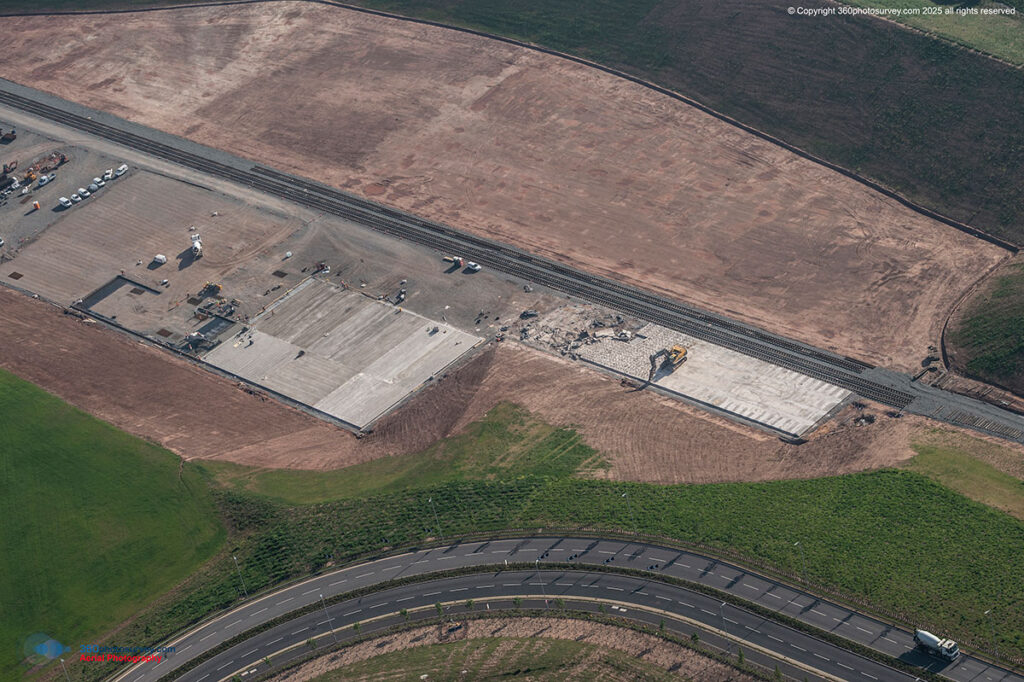
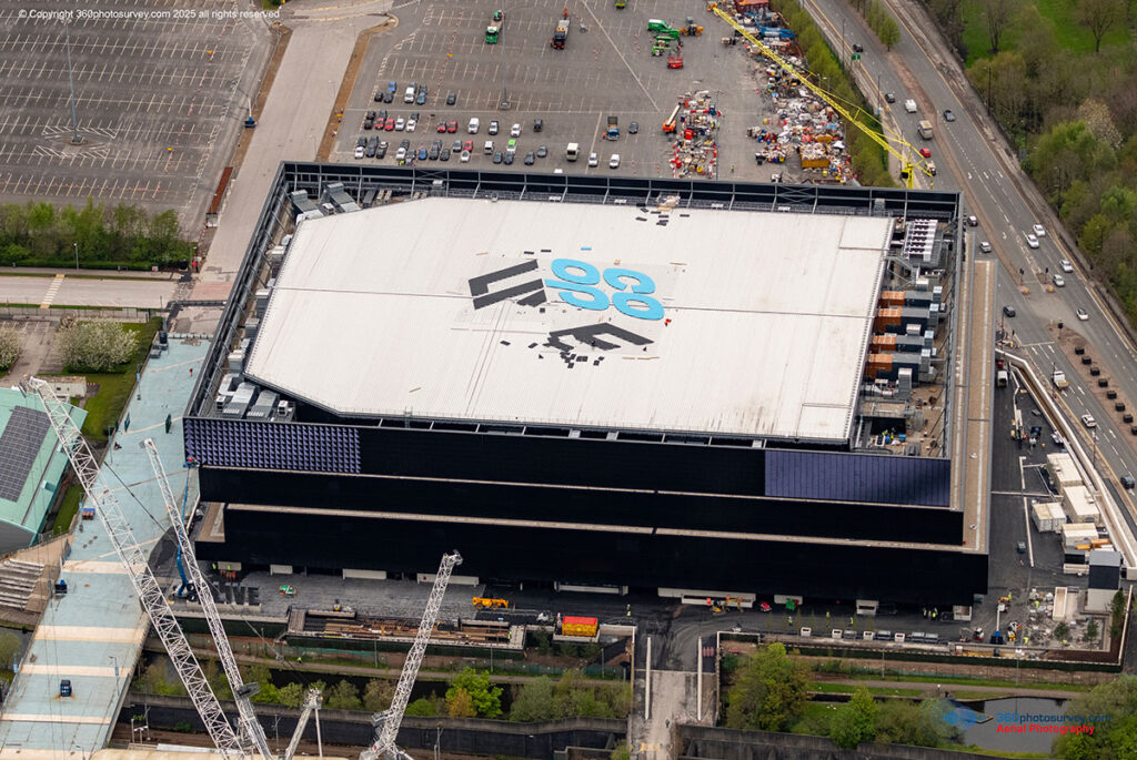
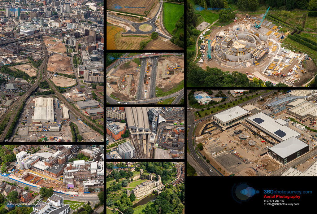
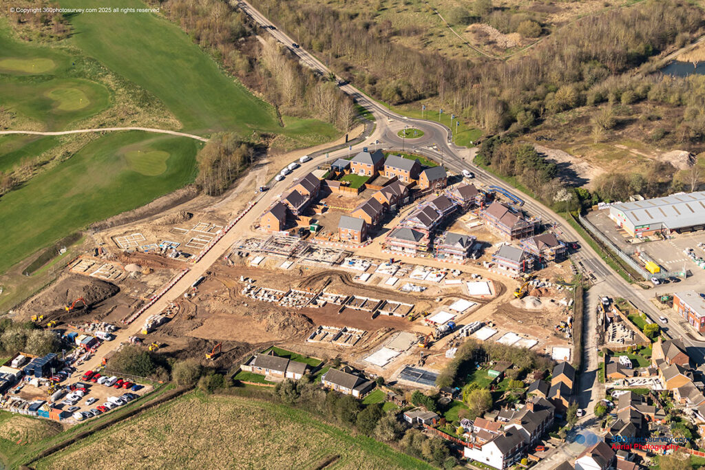
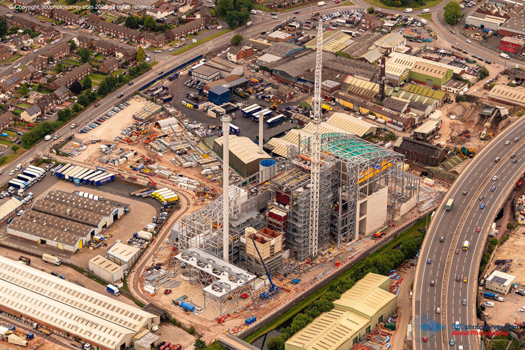
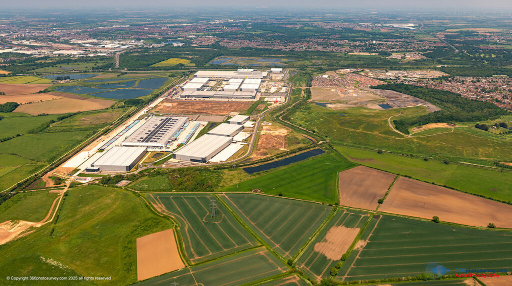
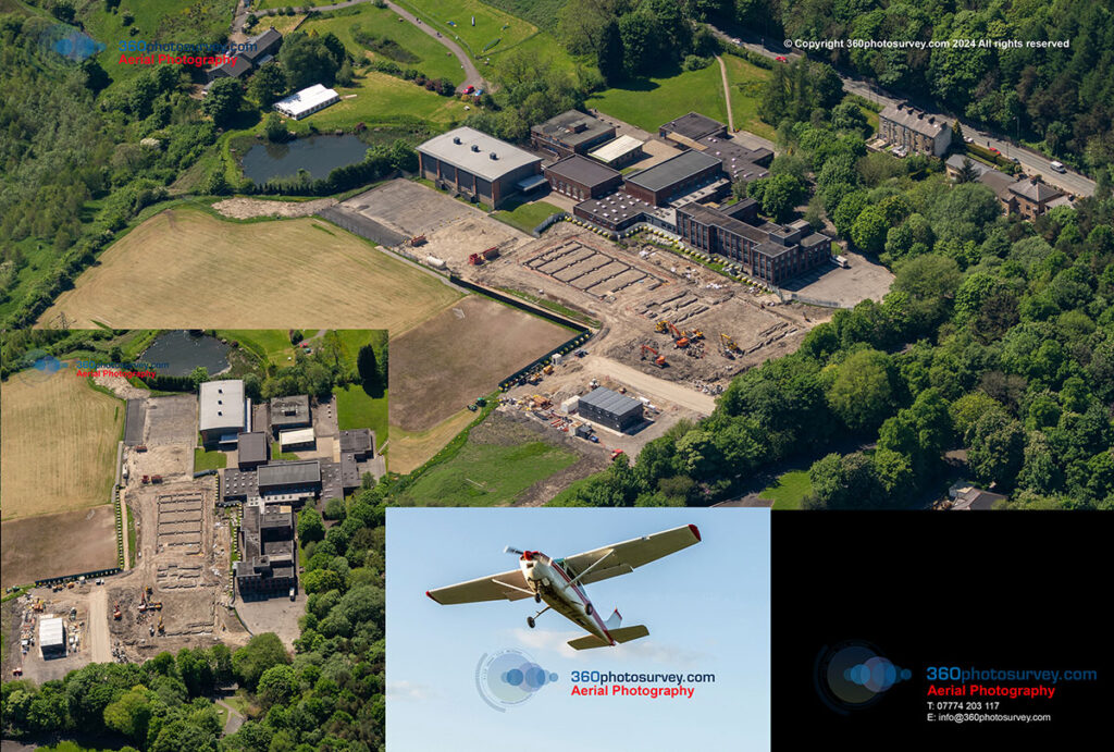
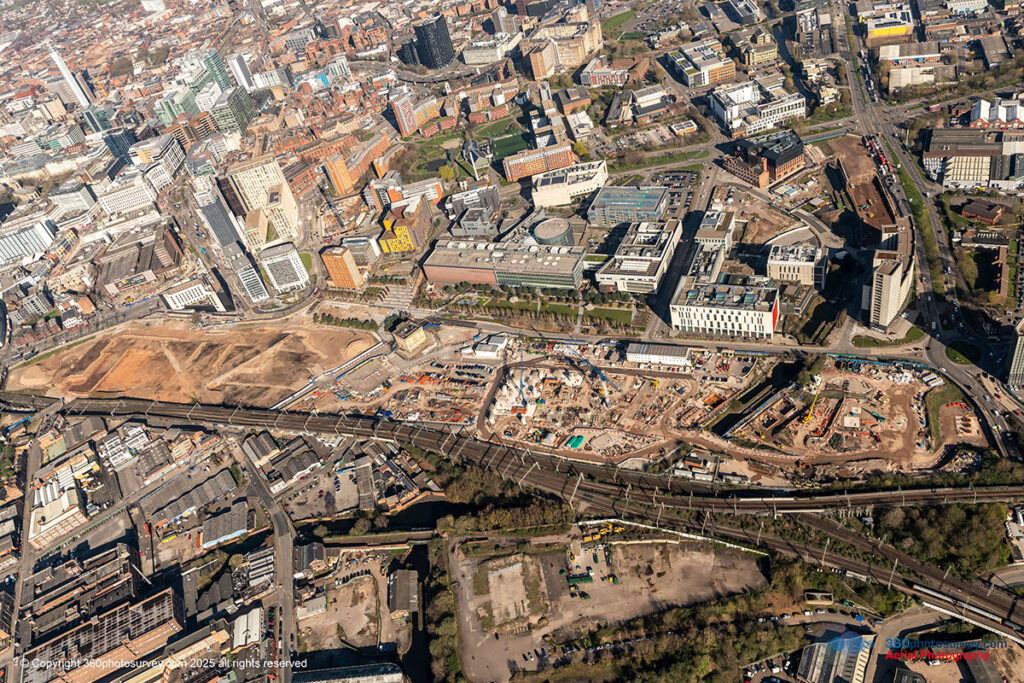
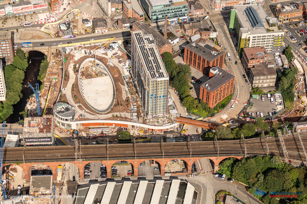
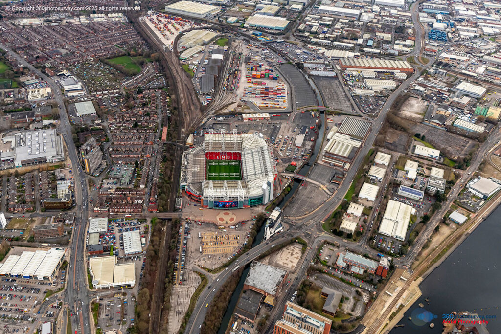
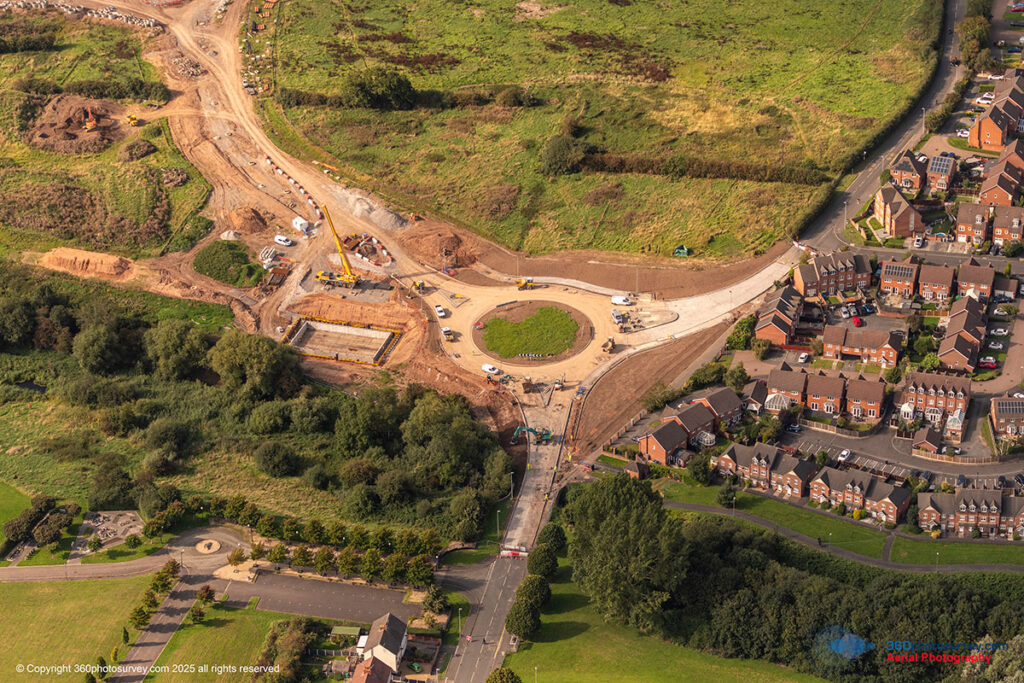
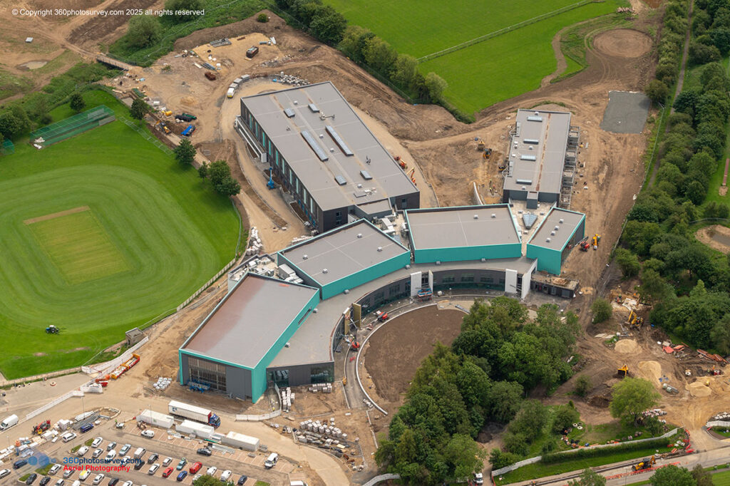
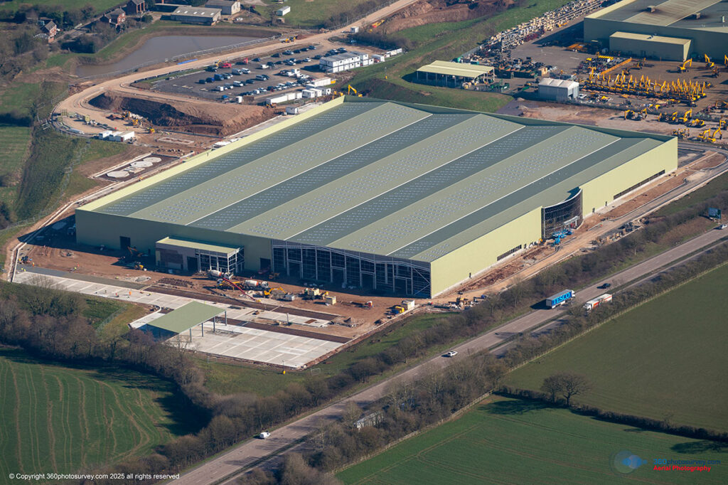
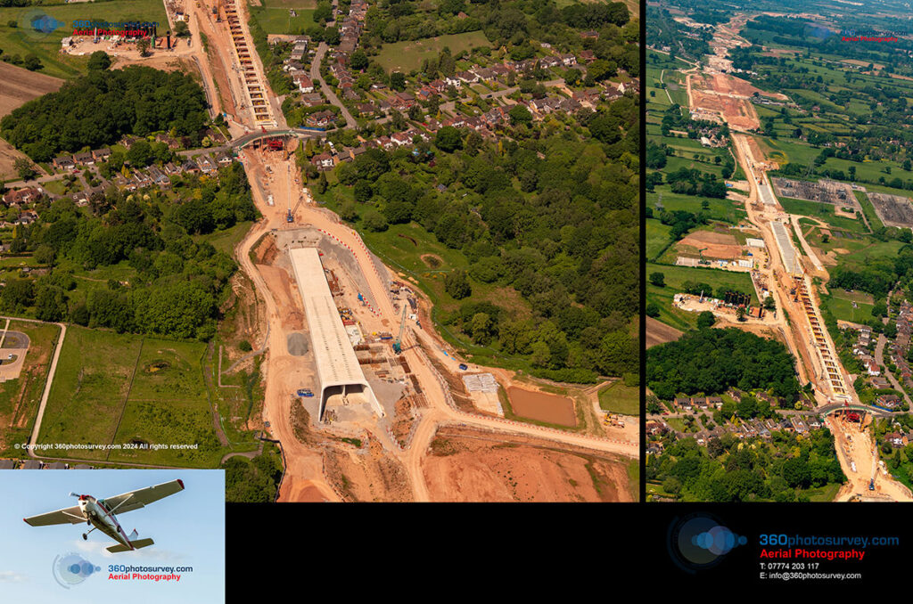
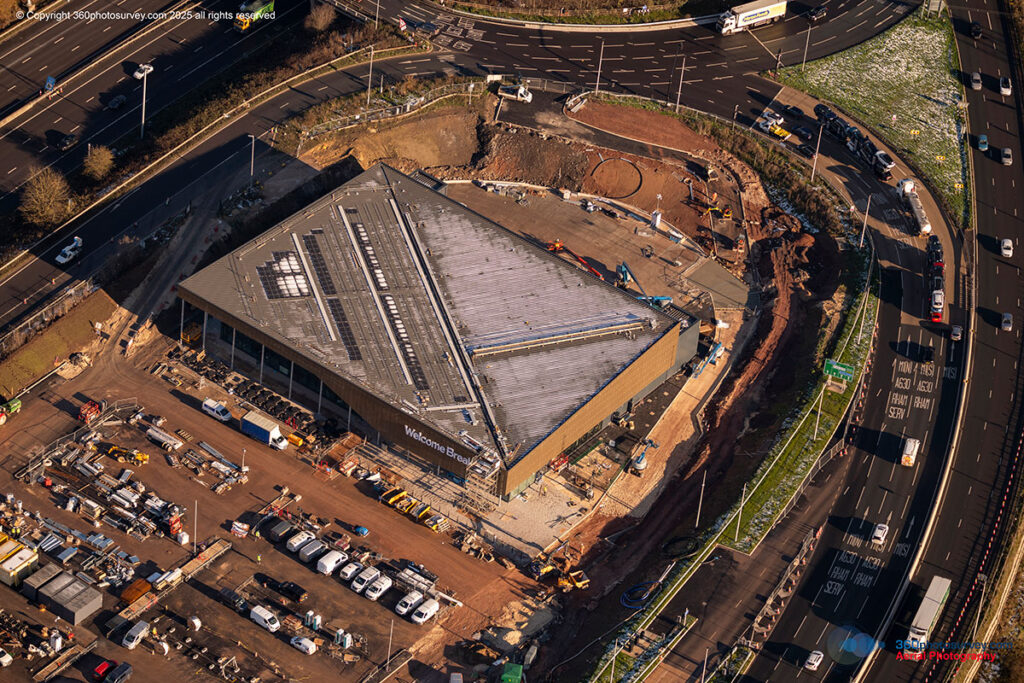
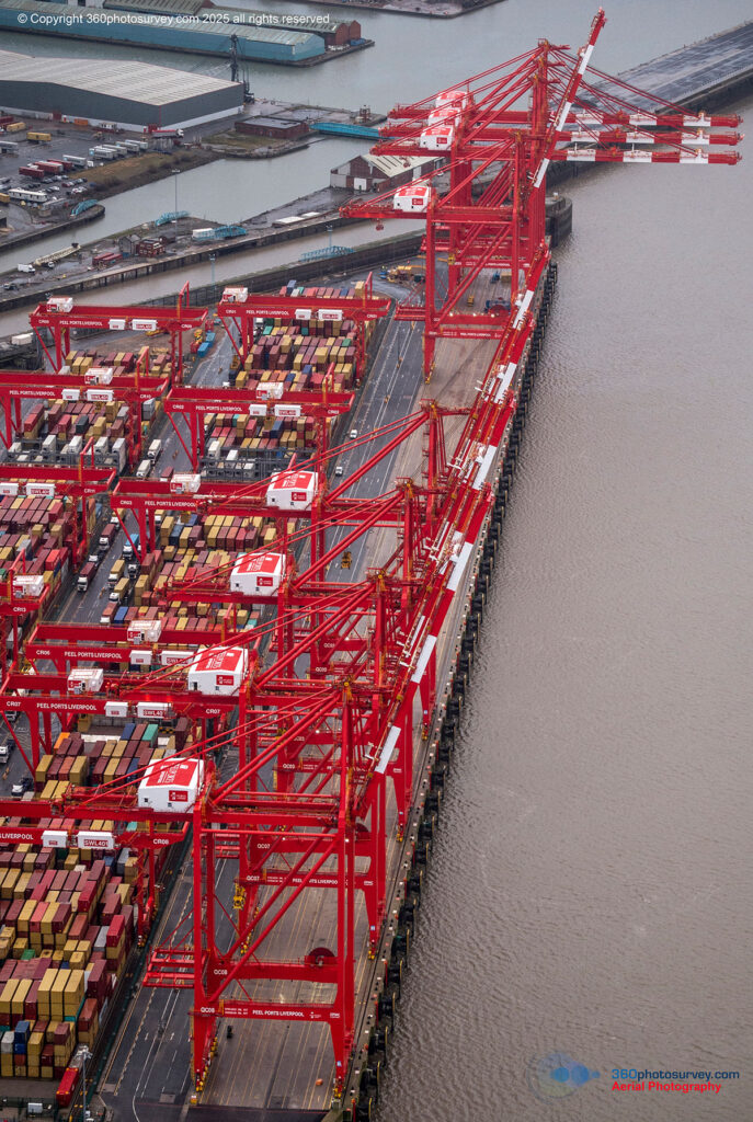
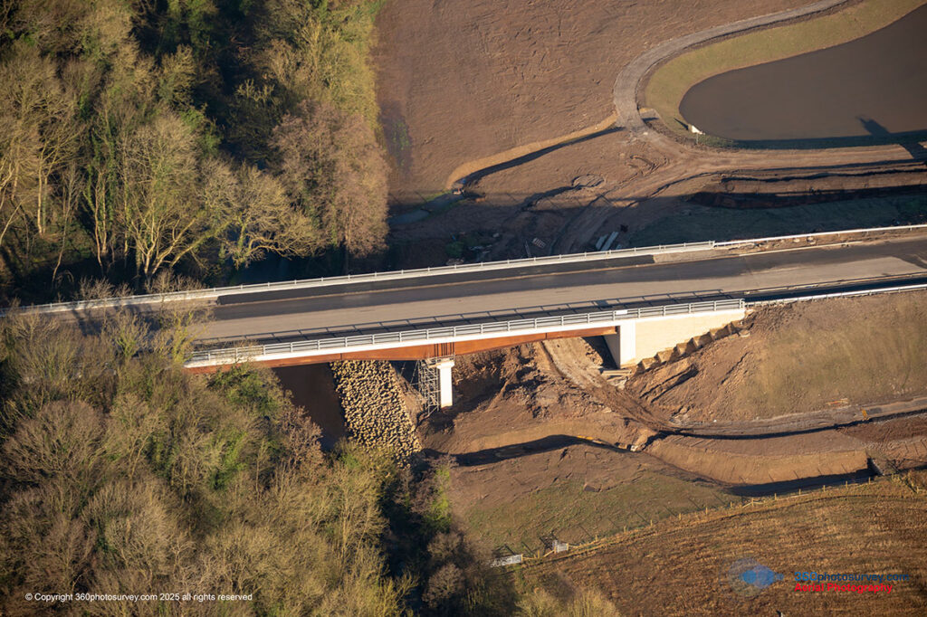
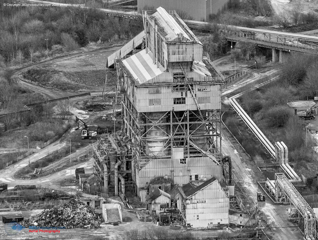
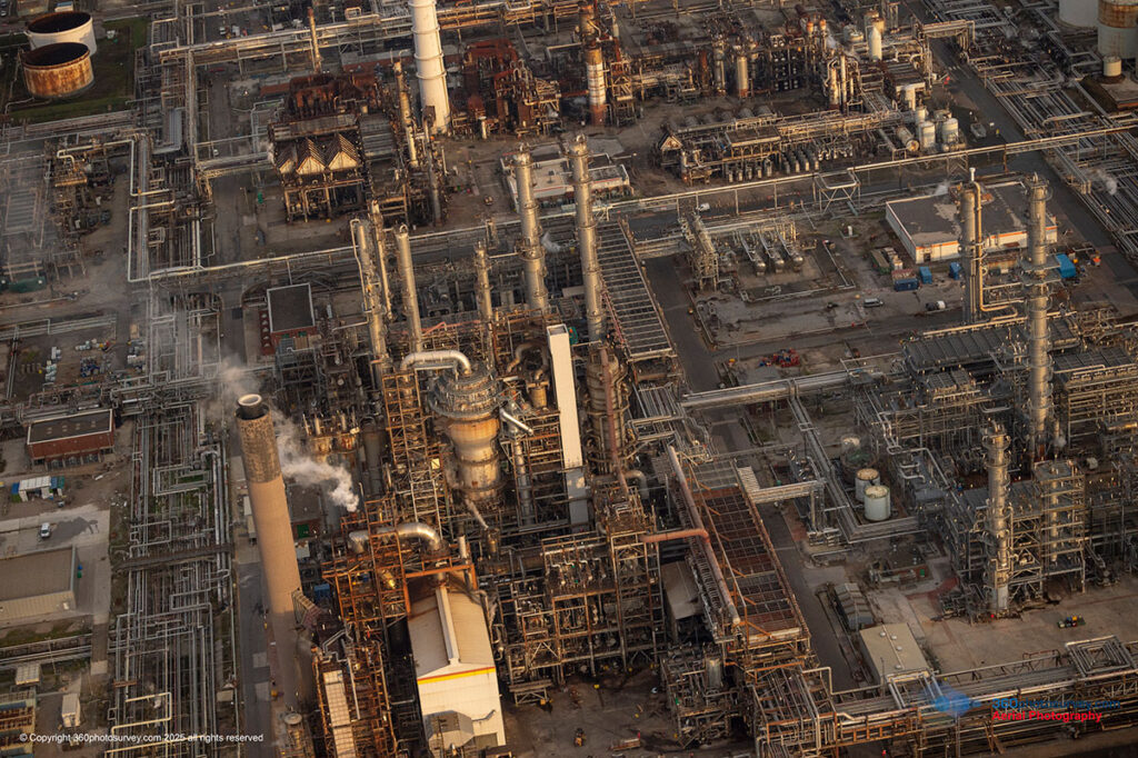
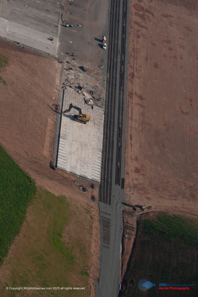
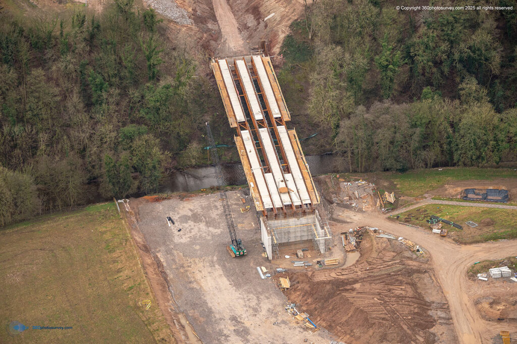
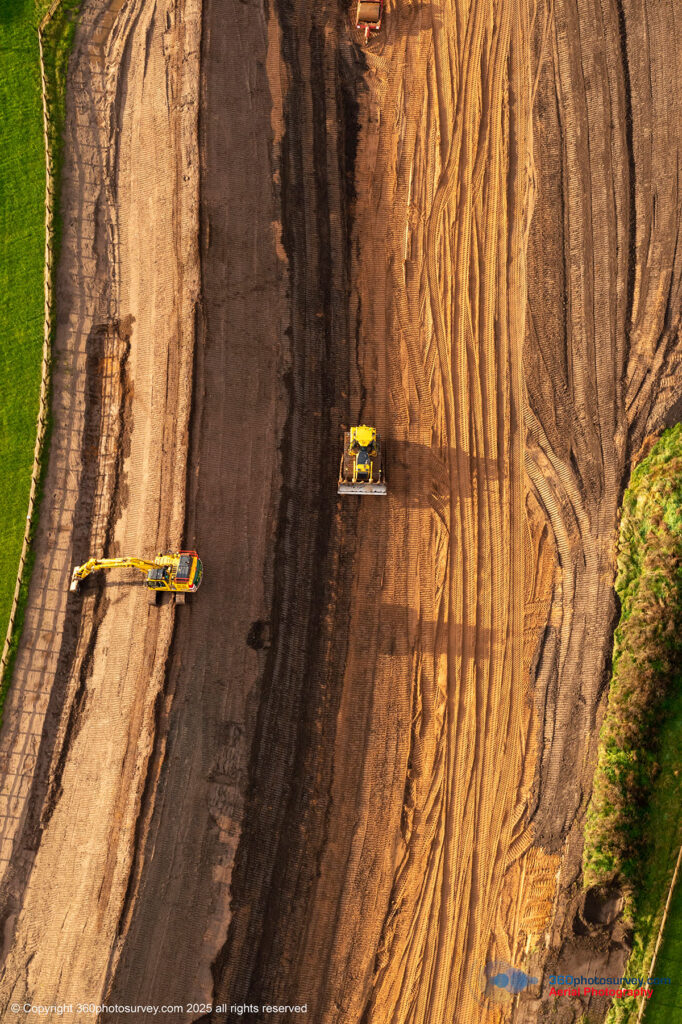
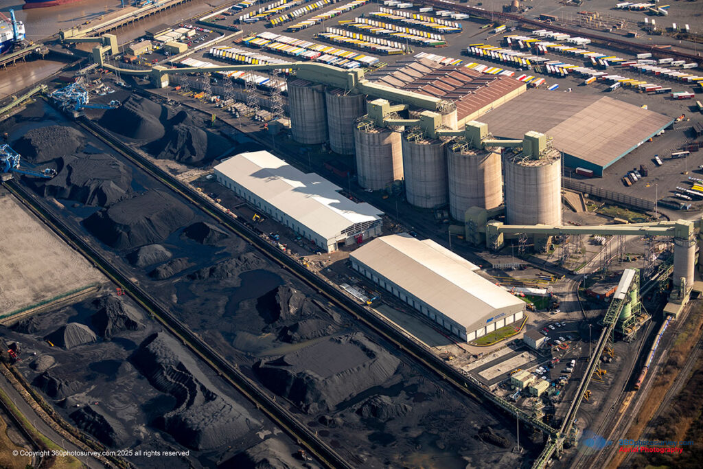
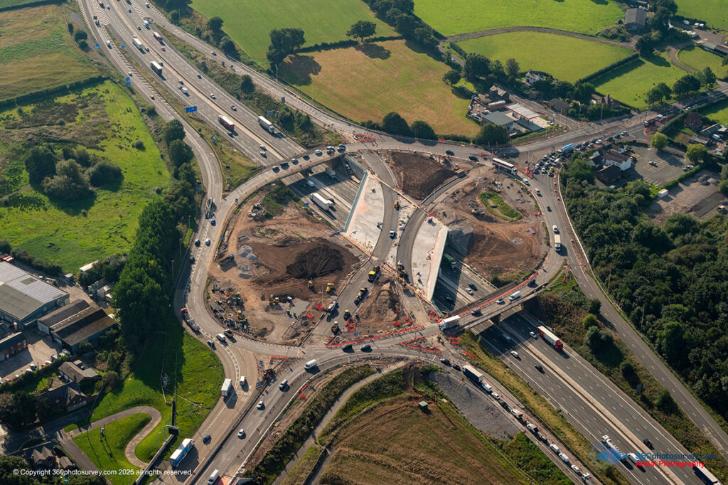
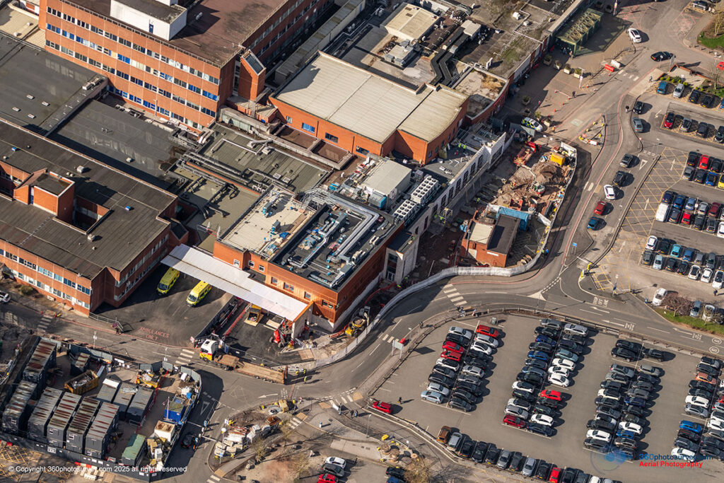
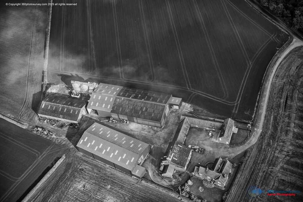
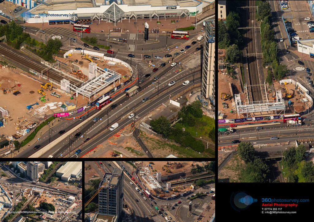
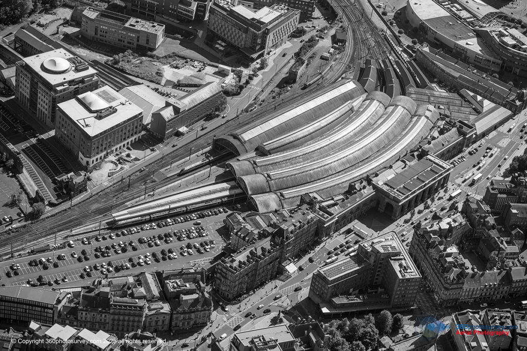
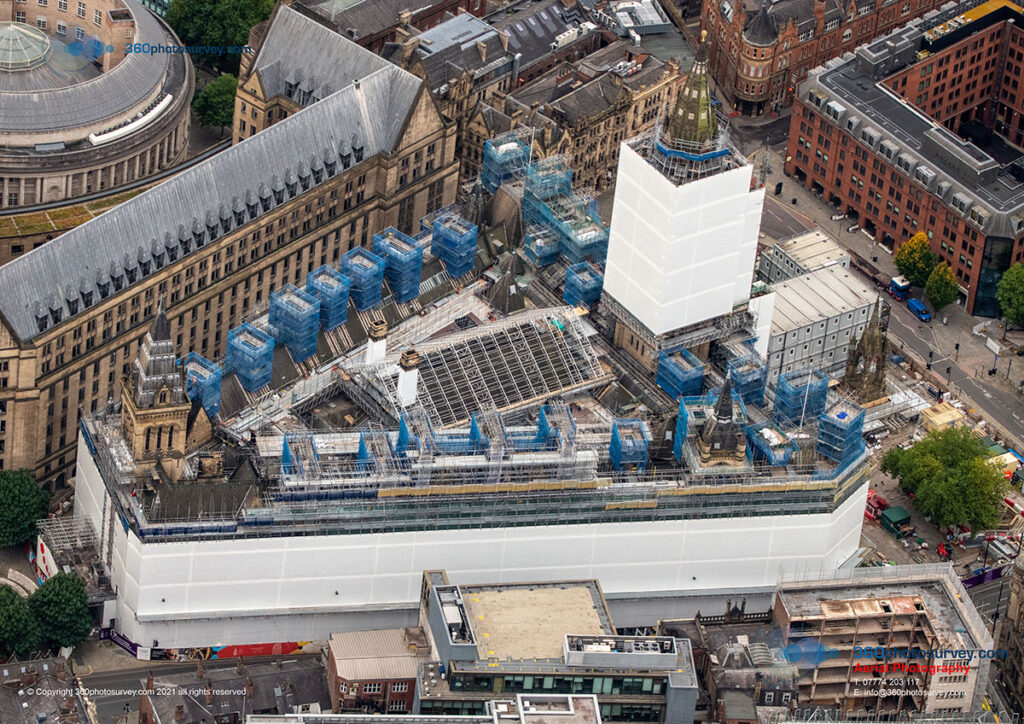
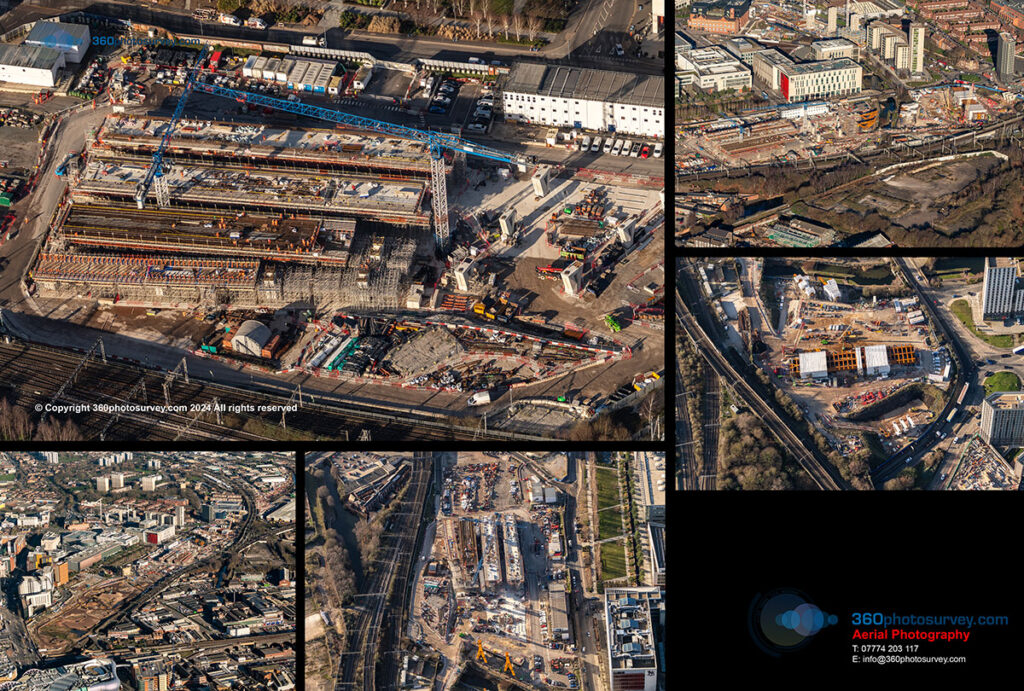
Construction Projects
- New Developments
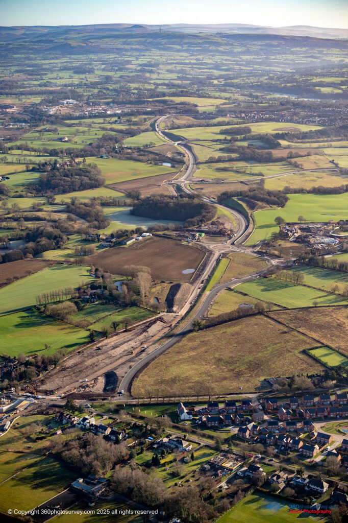
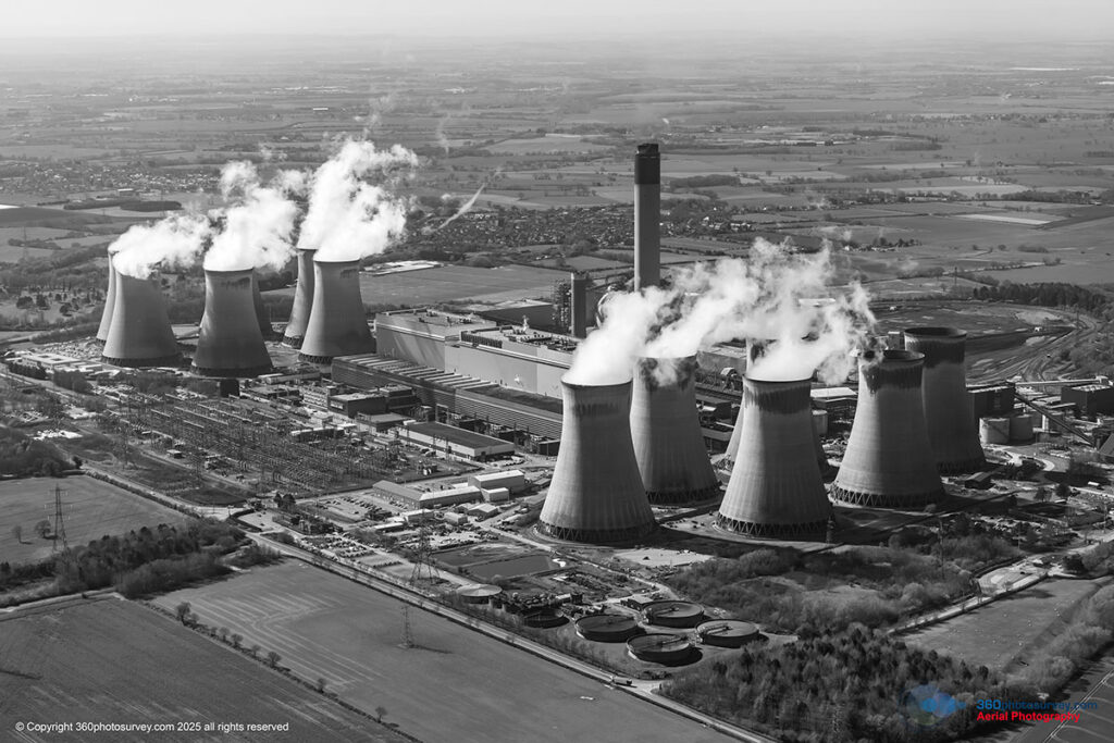
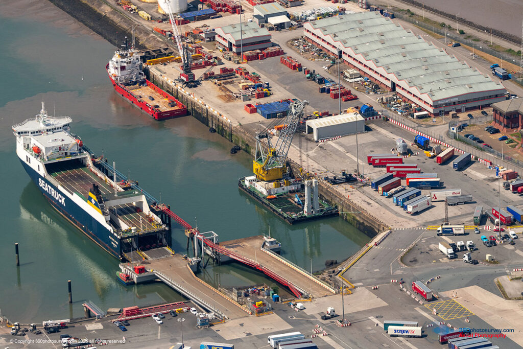
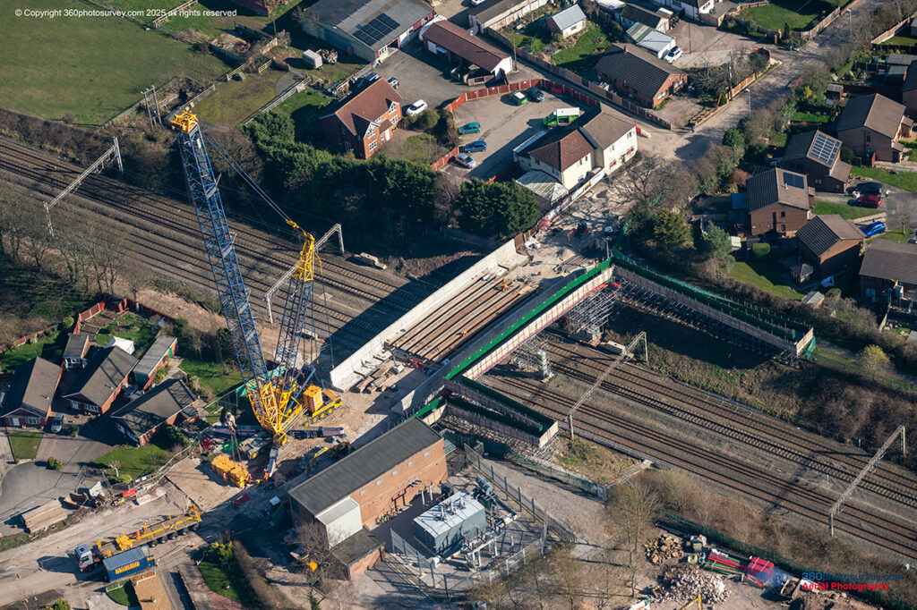
- Civil Engineering
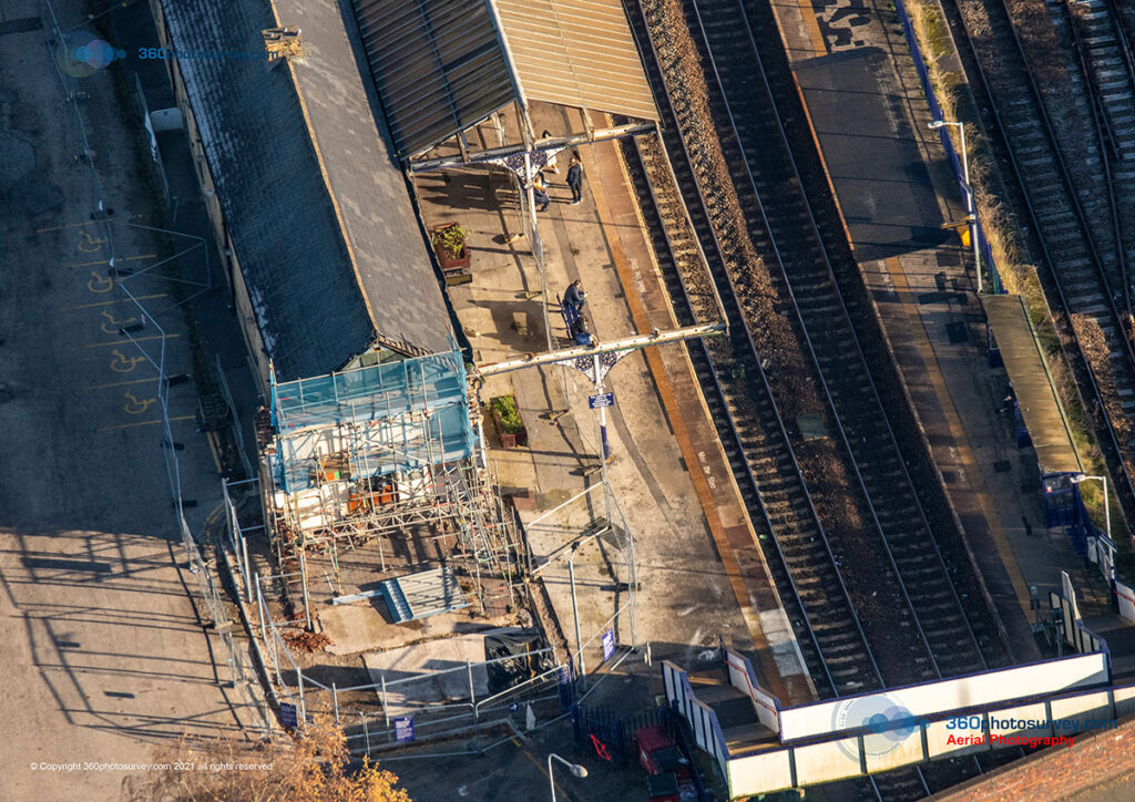
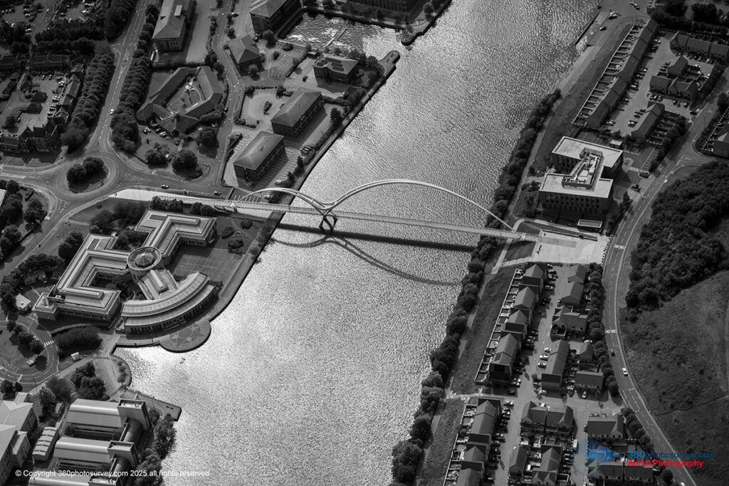
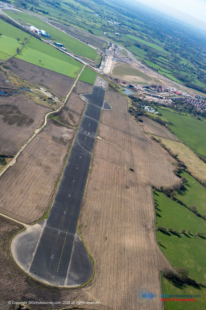
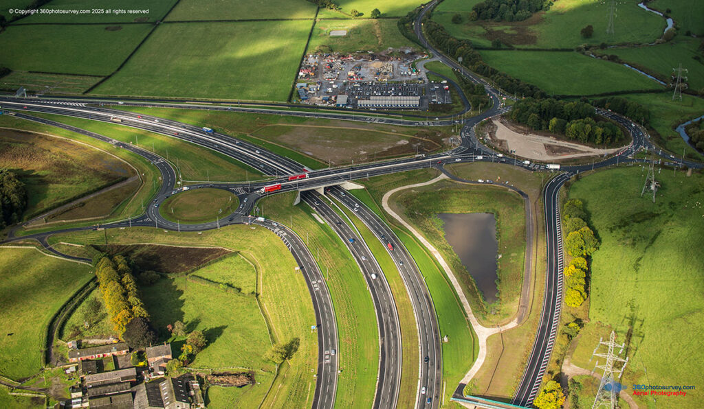
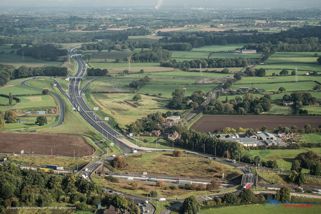
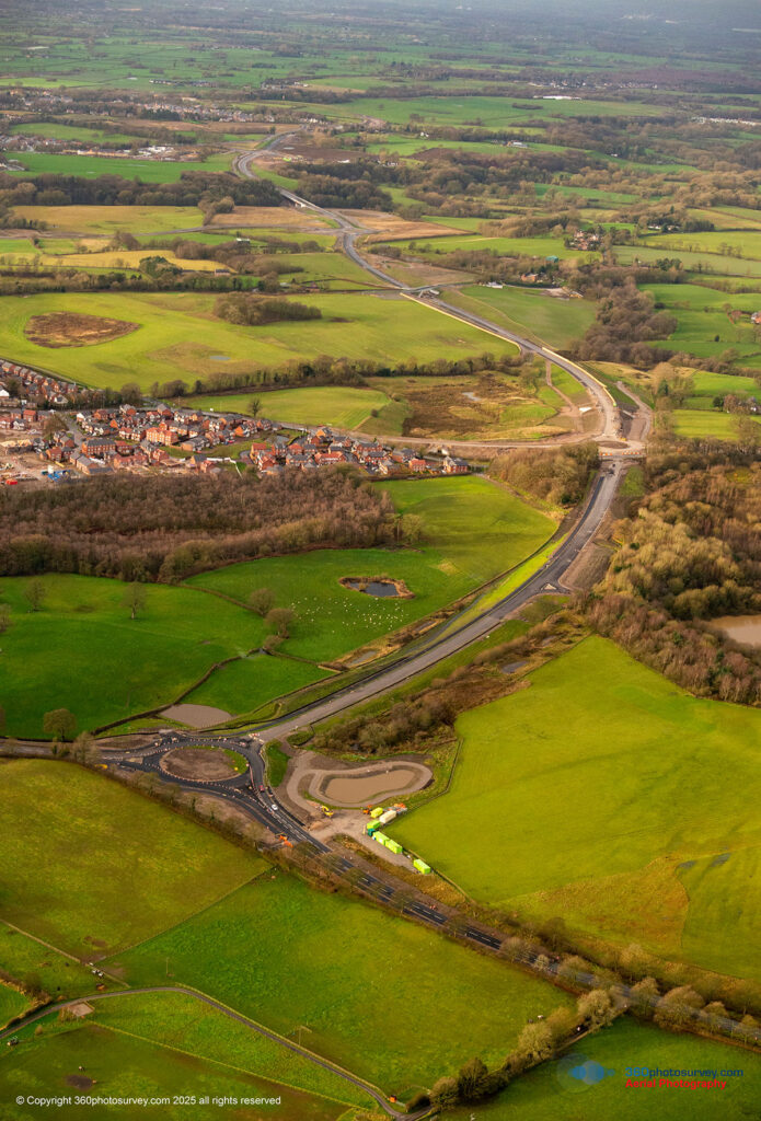
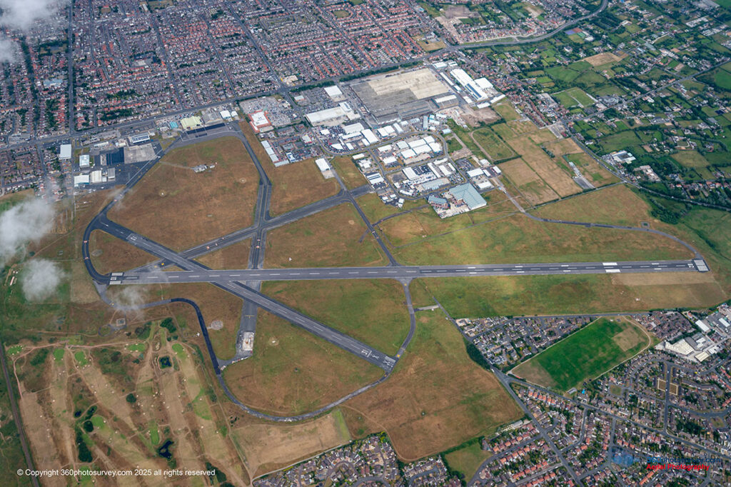
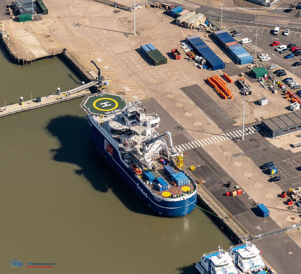
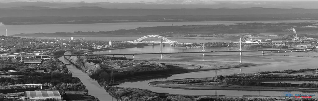
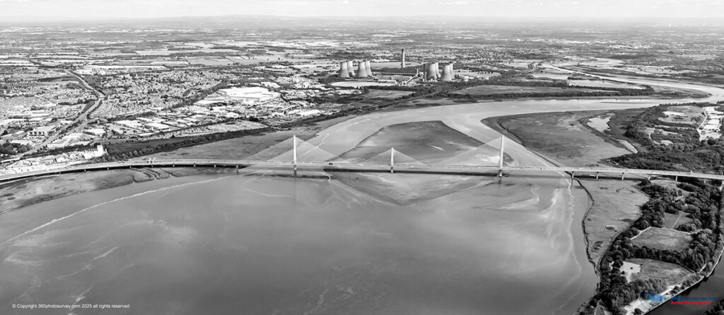
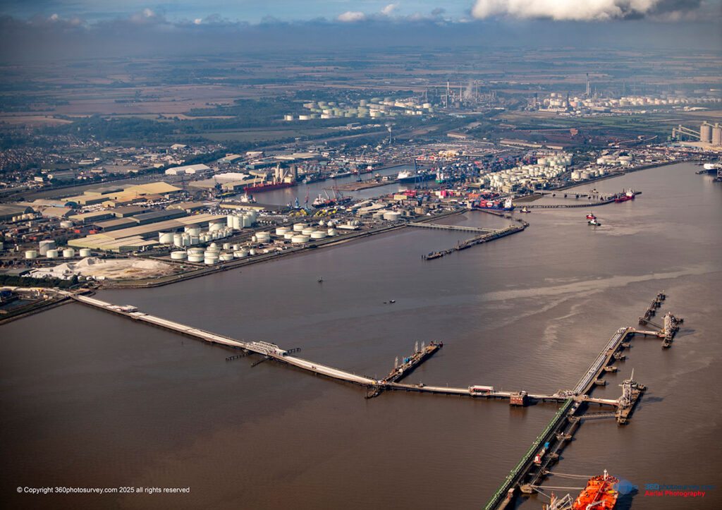
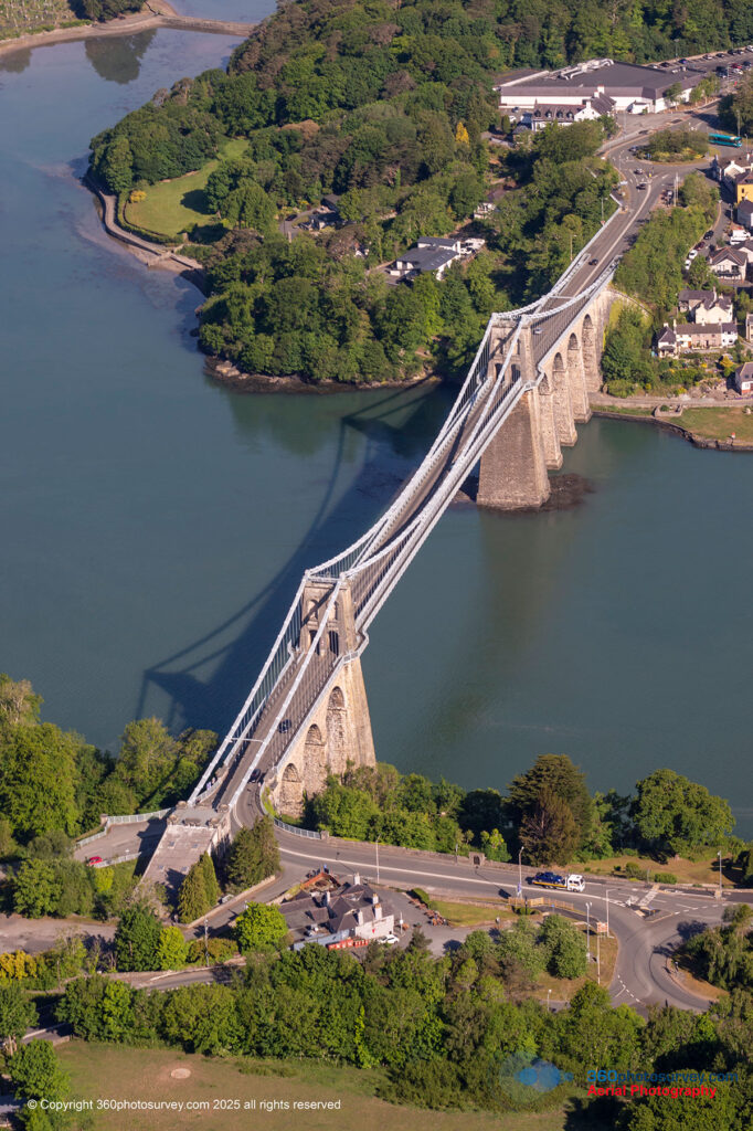
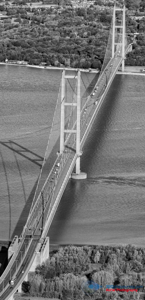
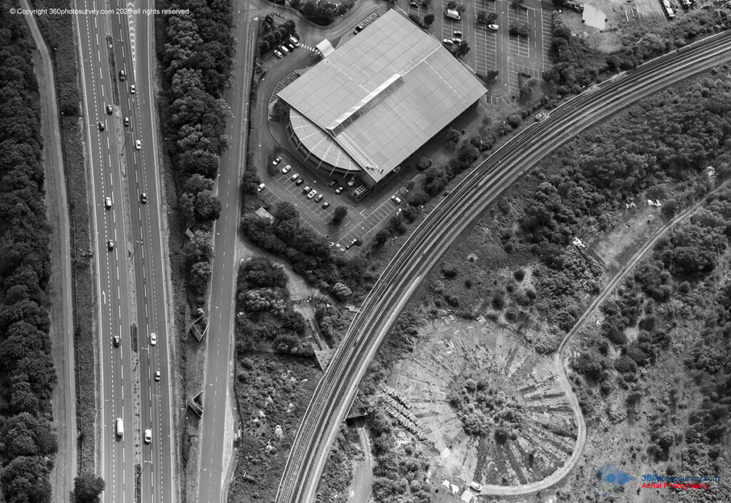
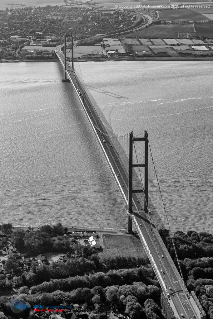
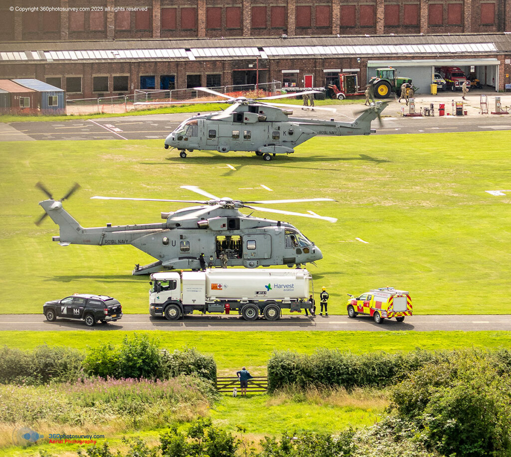
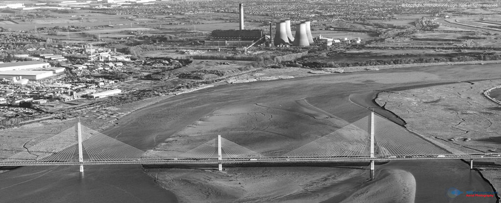
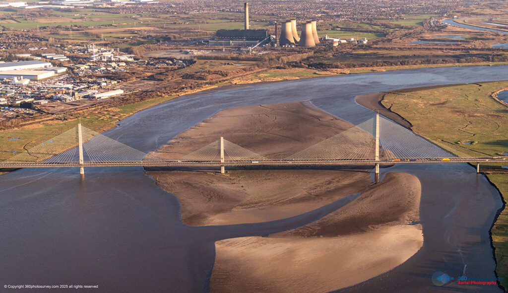
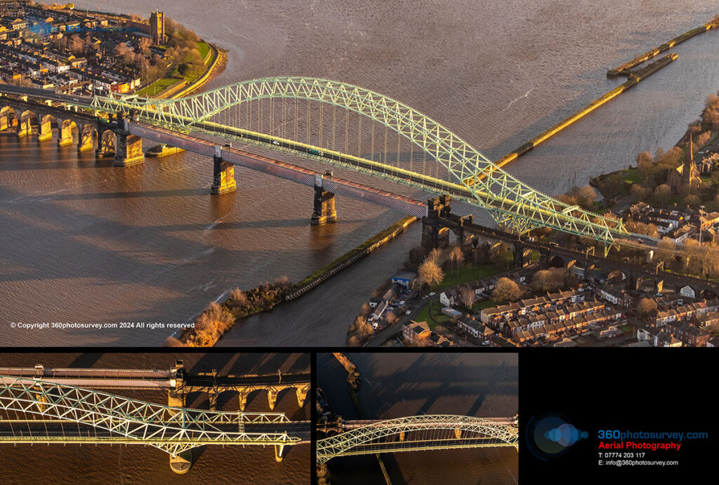
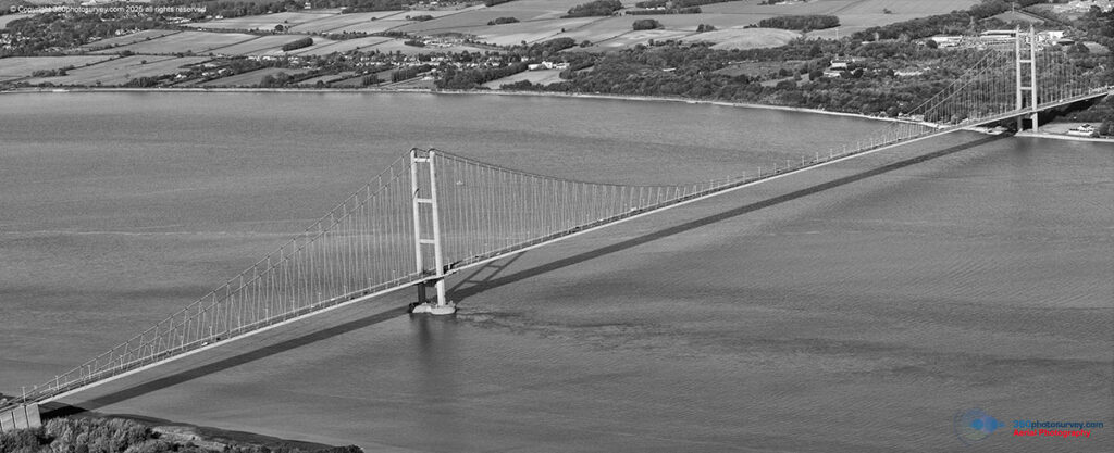
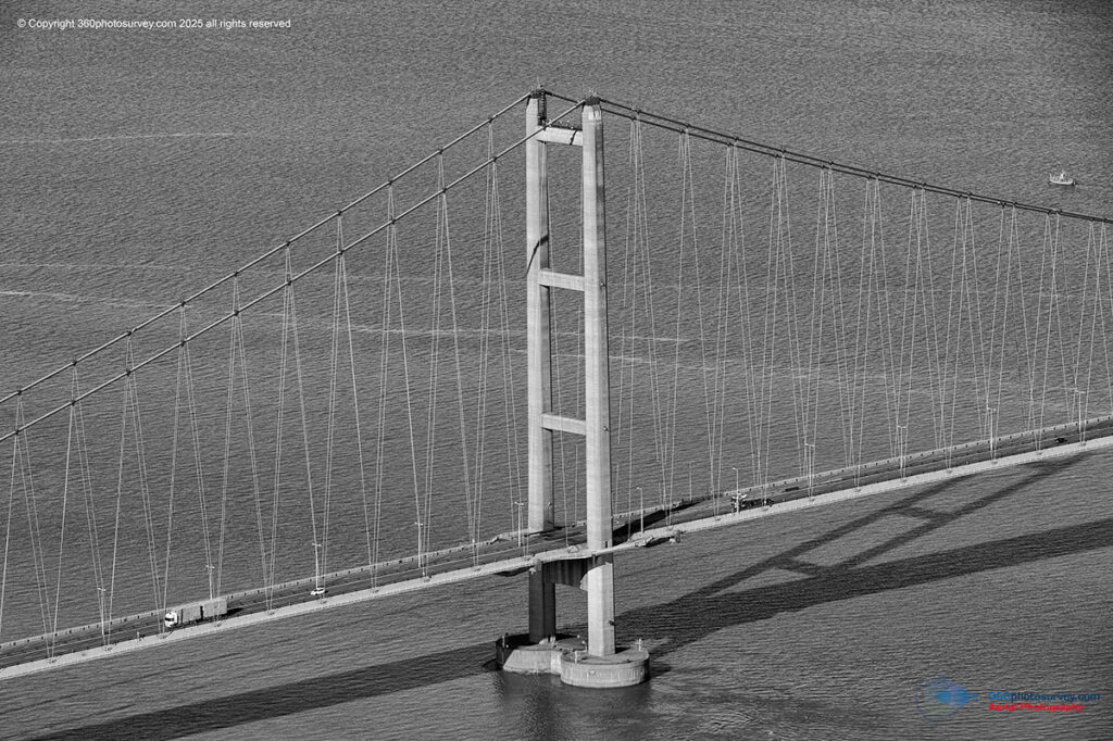
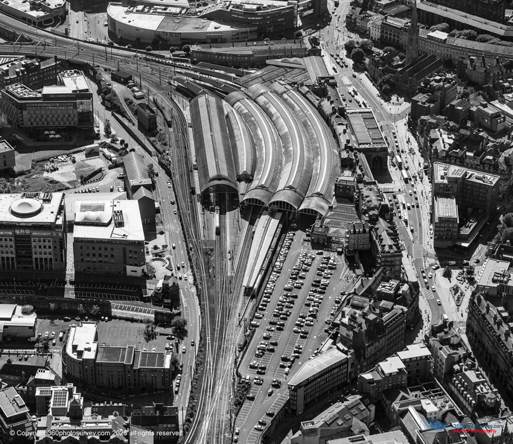
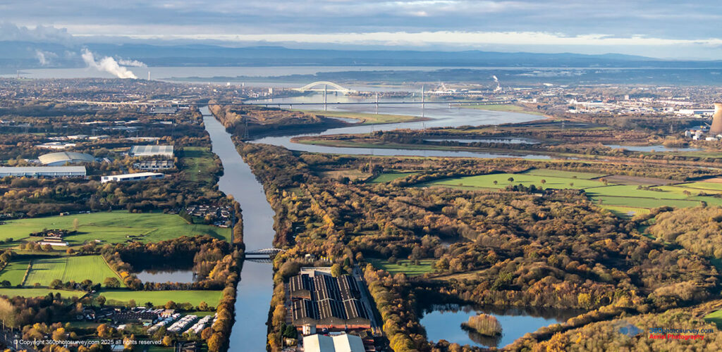
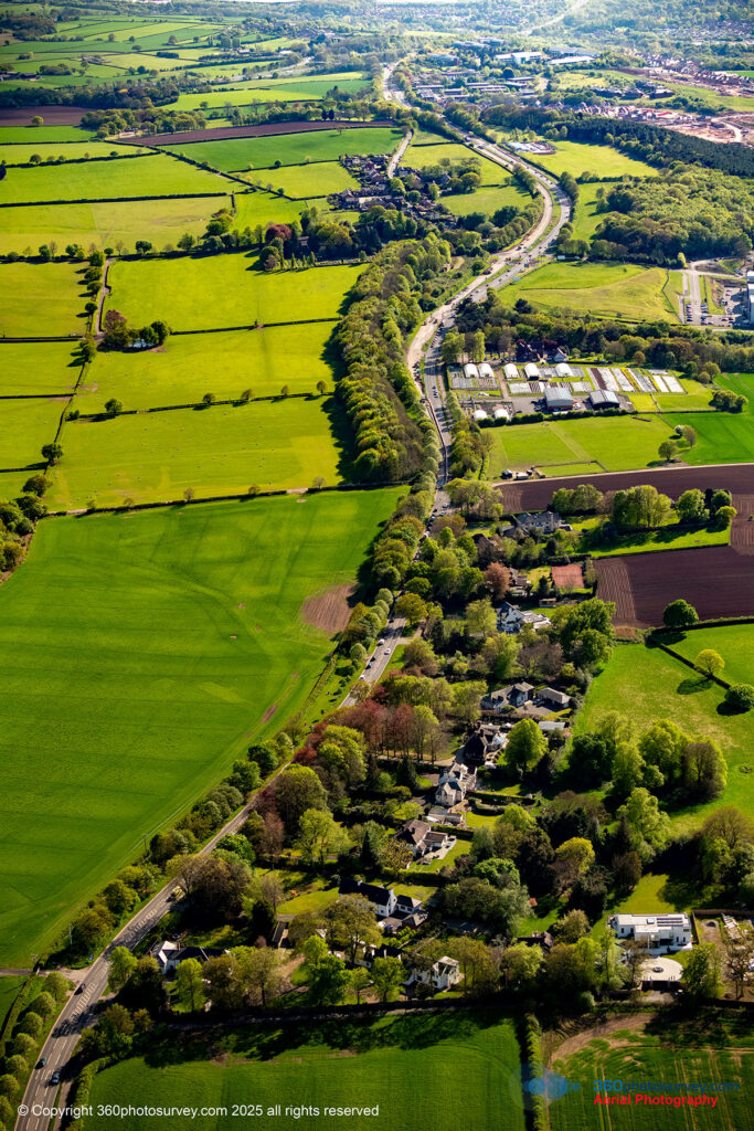
- Infrastructure (road, rail & bridge projects)
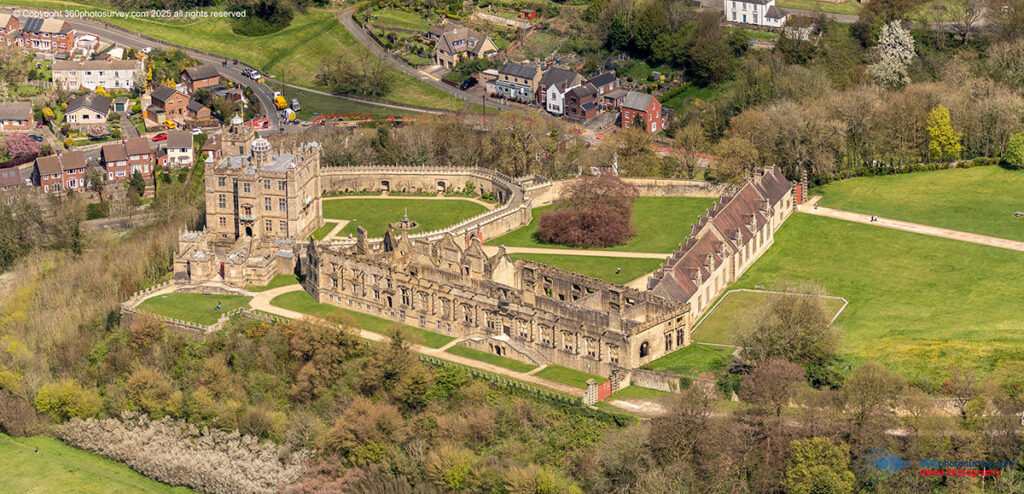
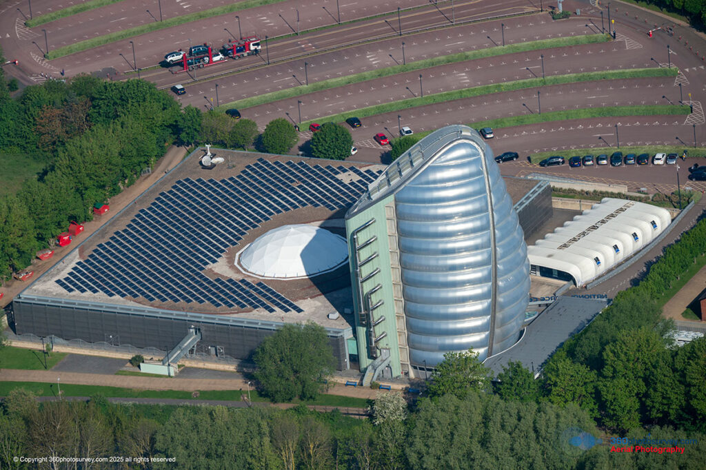
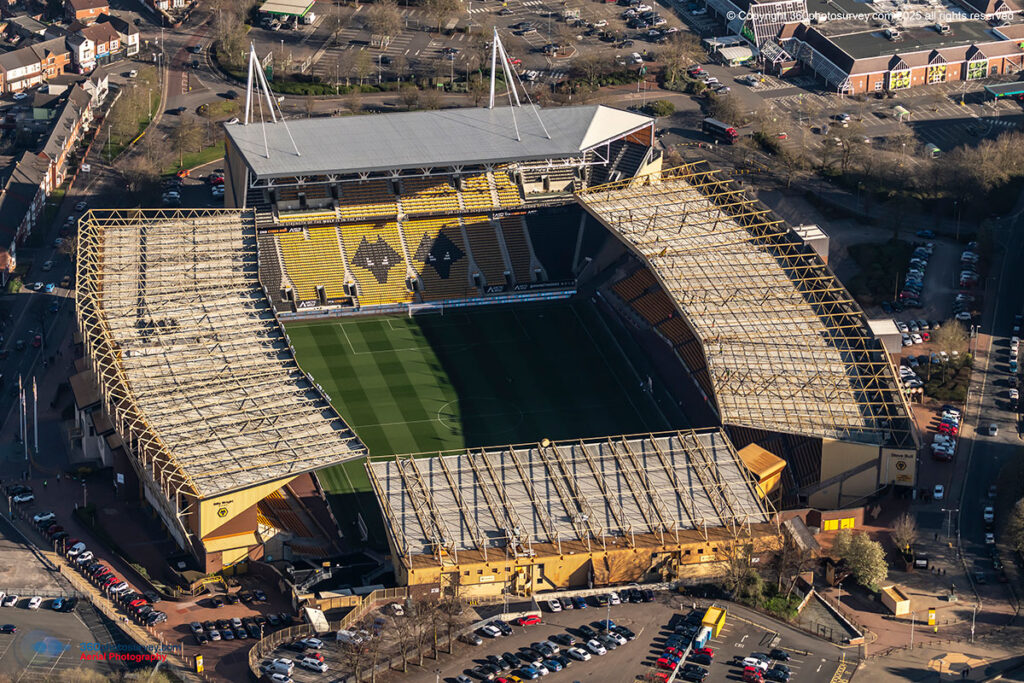
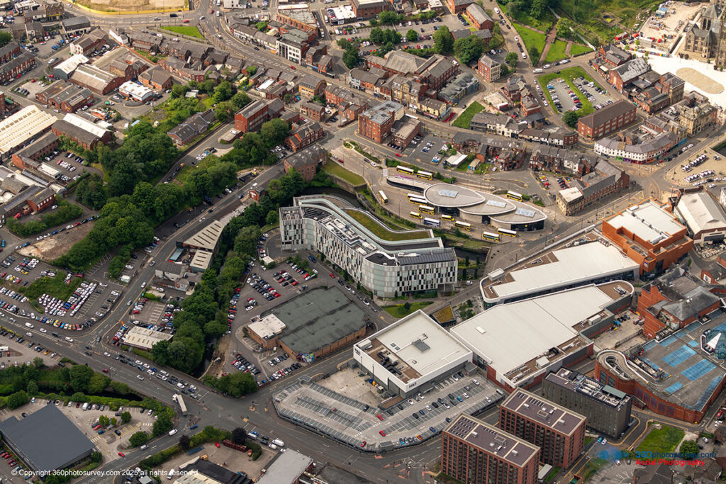
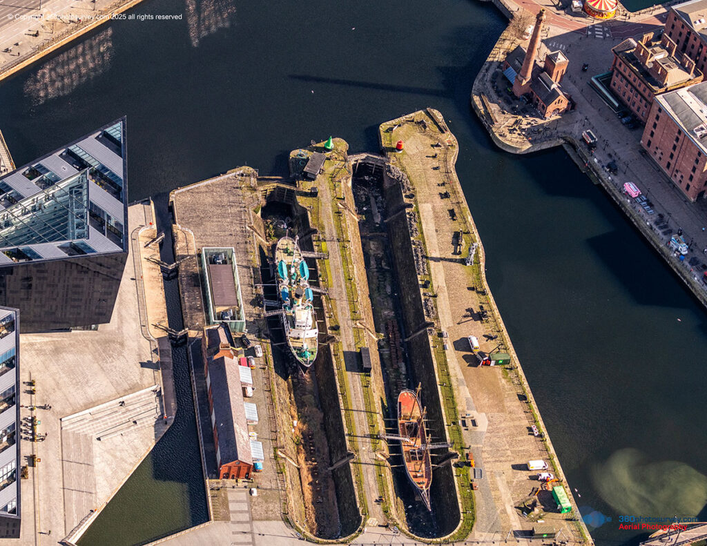
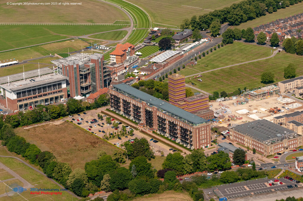
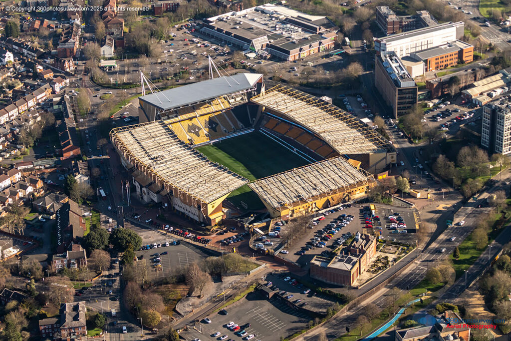
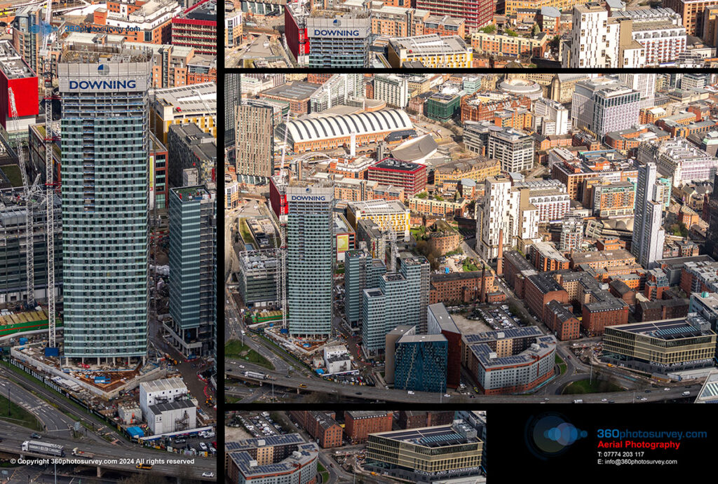
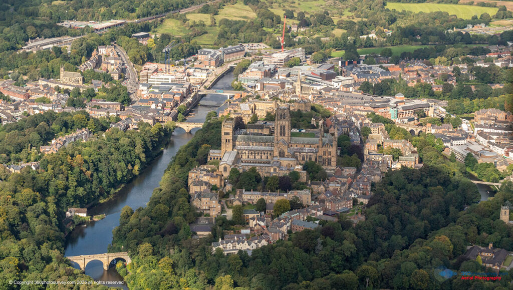
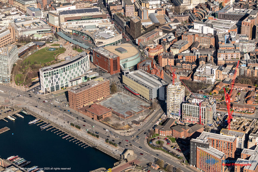
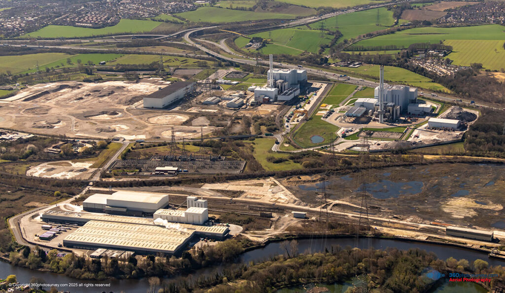
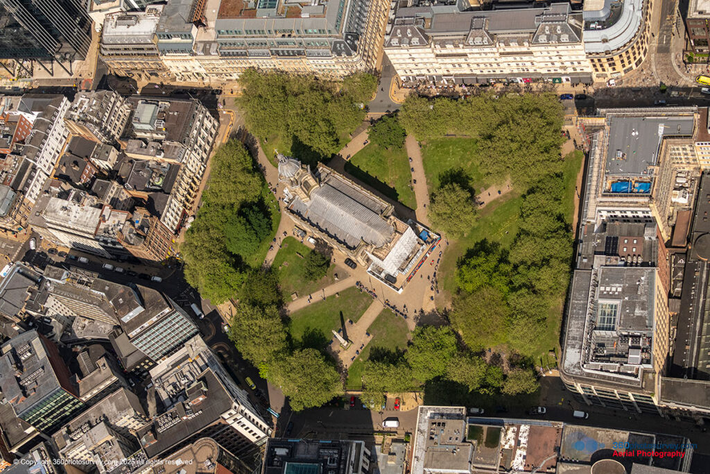
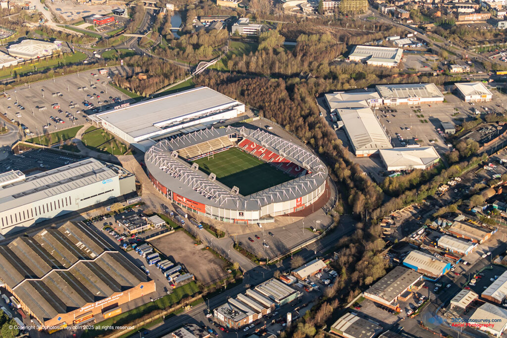
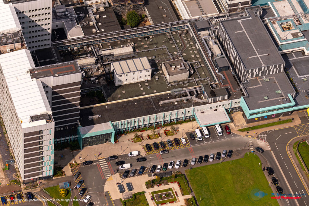
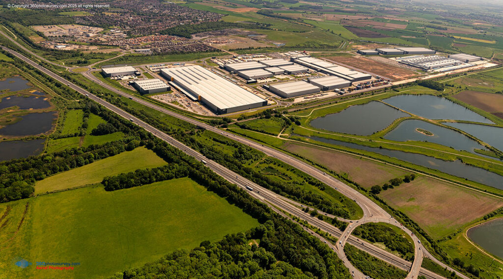
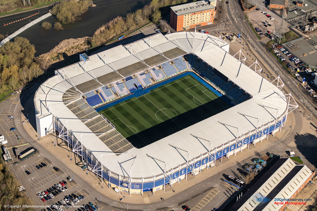
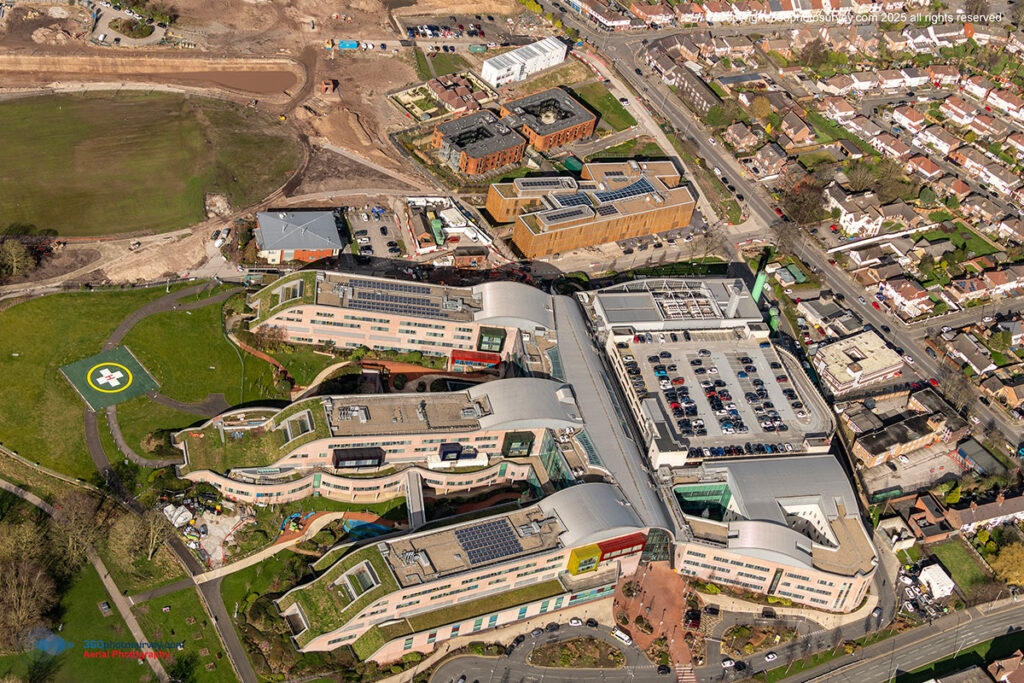
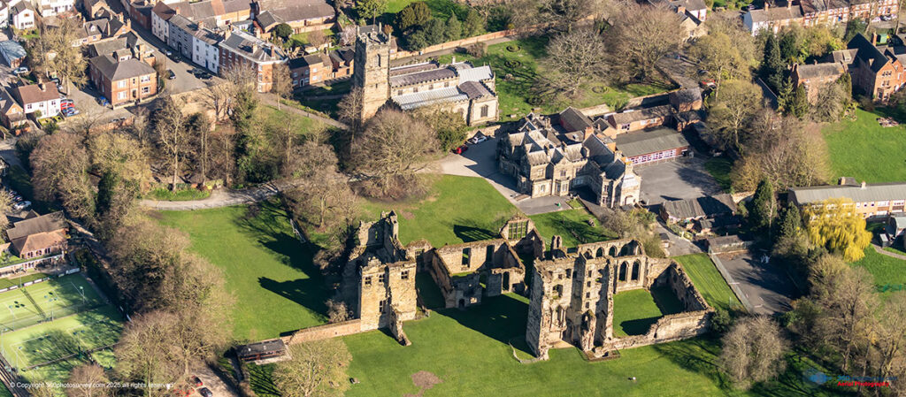
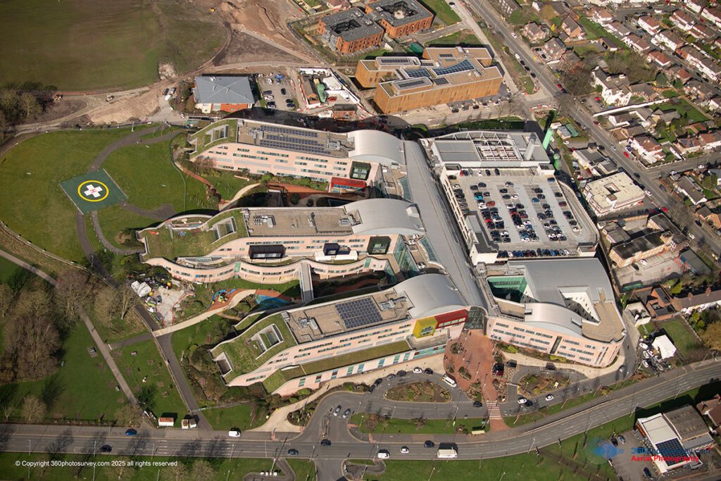
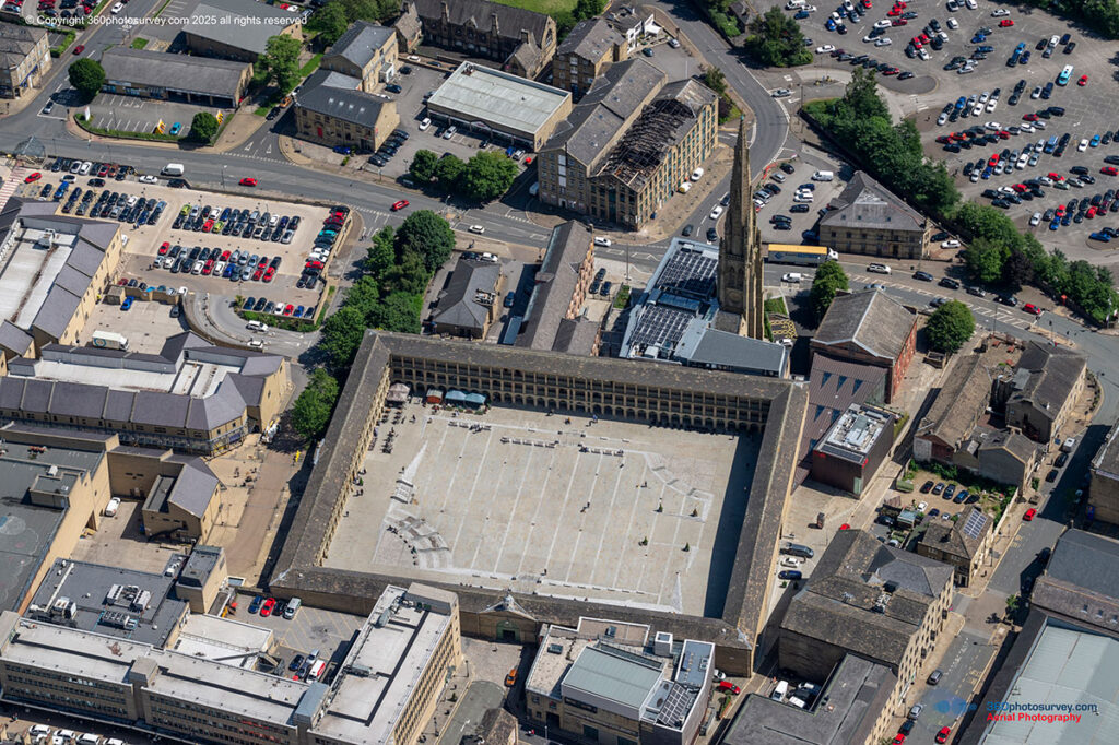
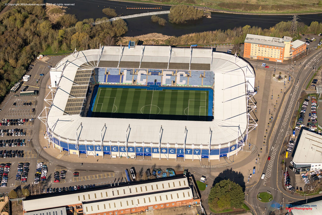
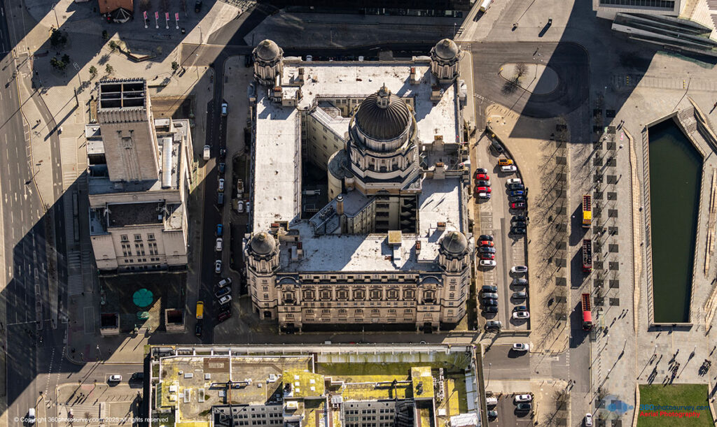
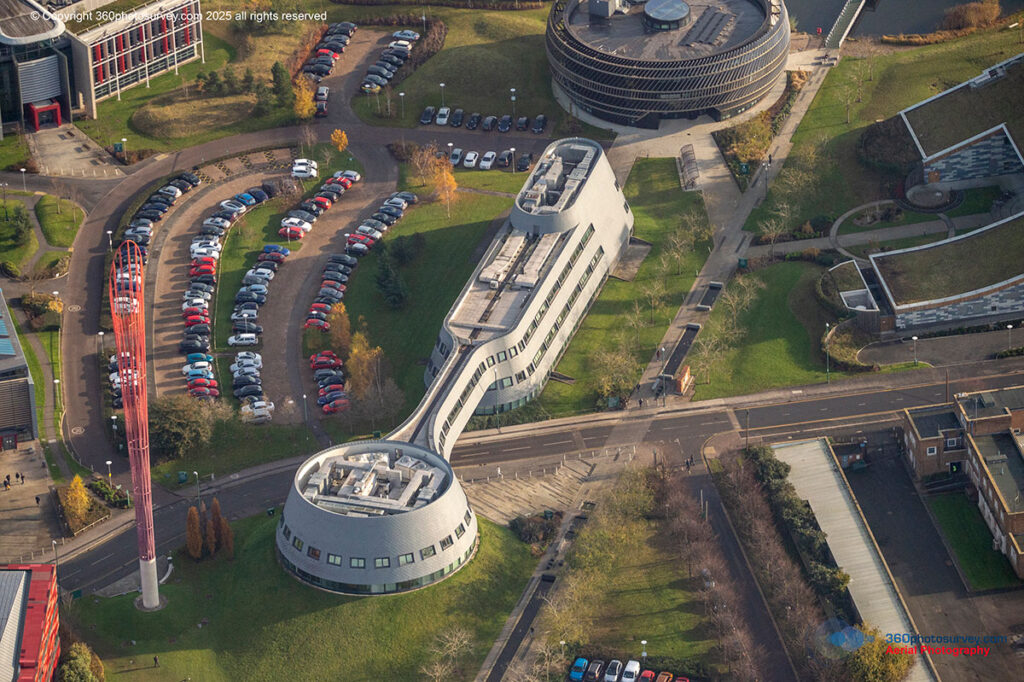
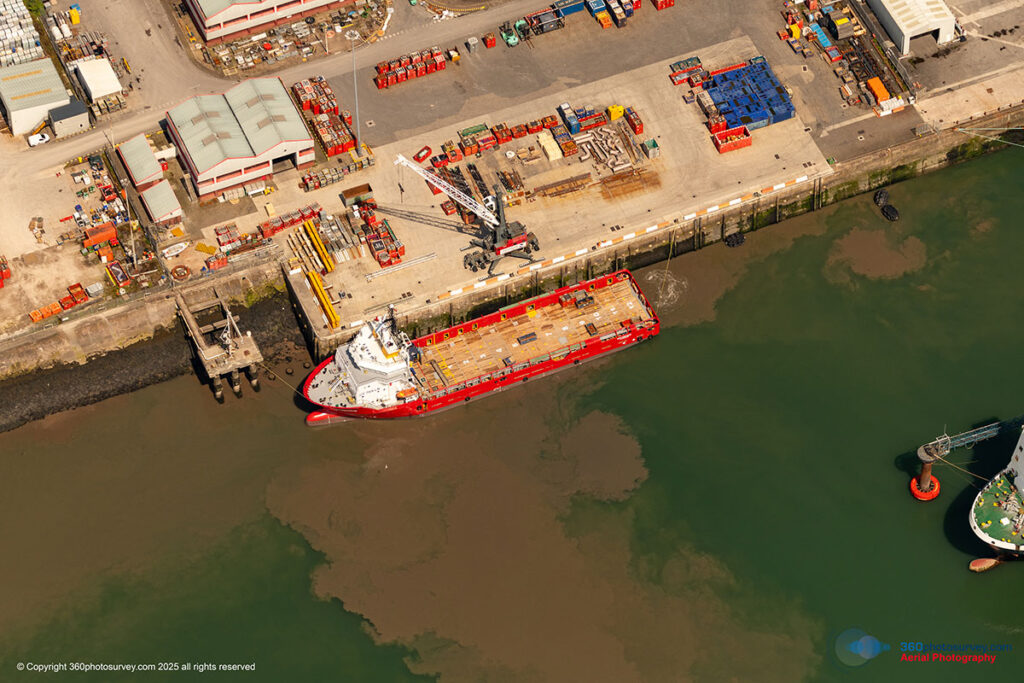
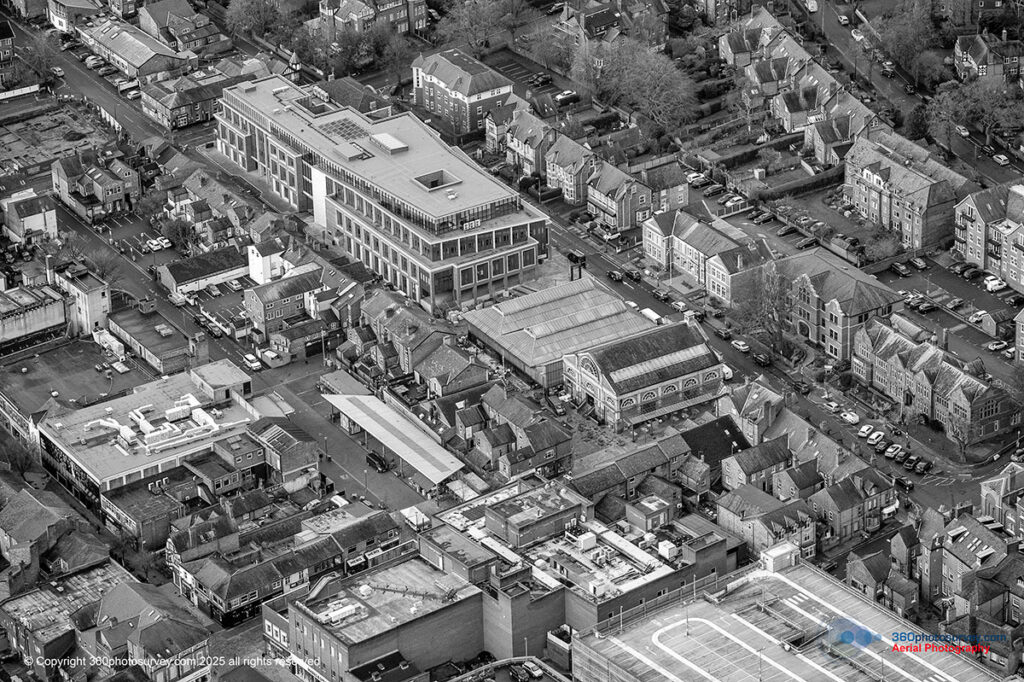
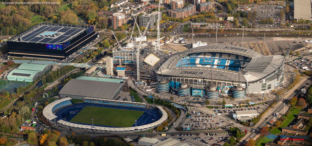
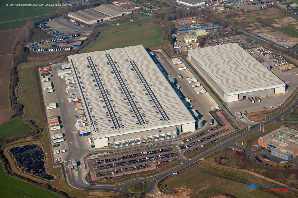
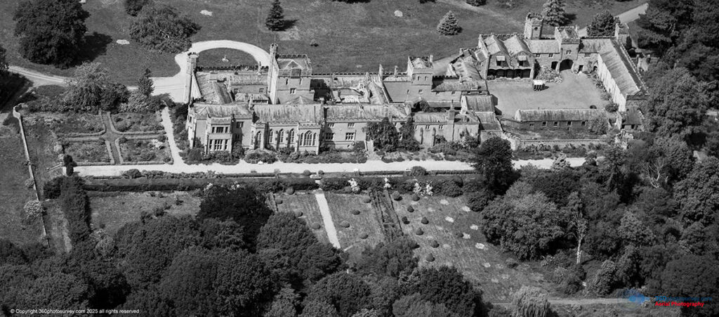
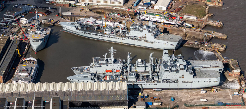
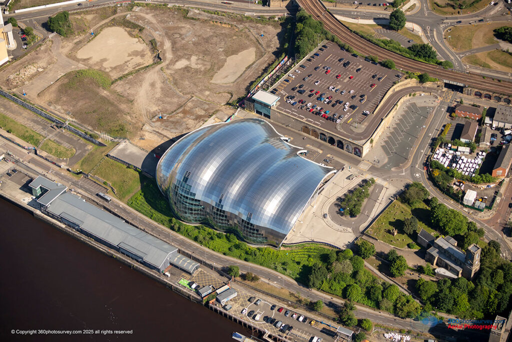
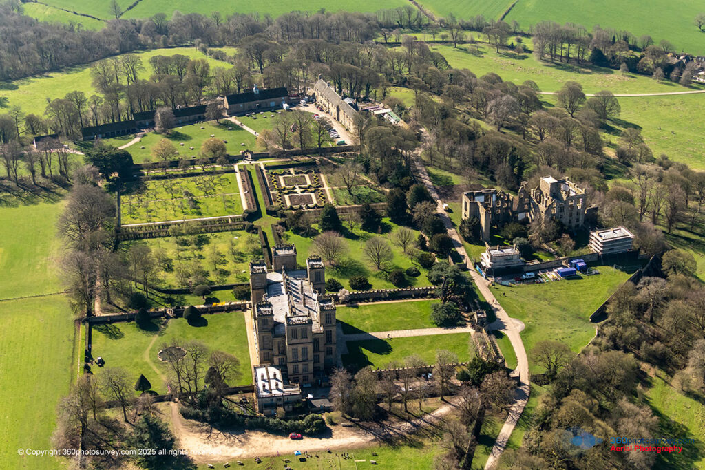
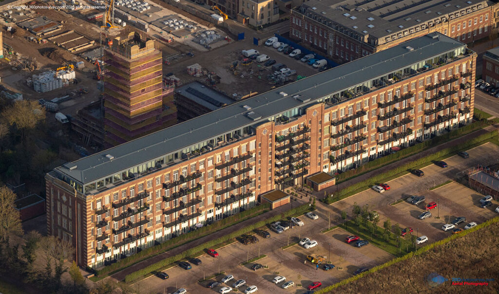
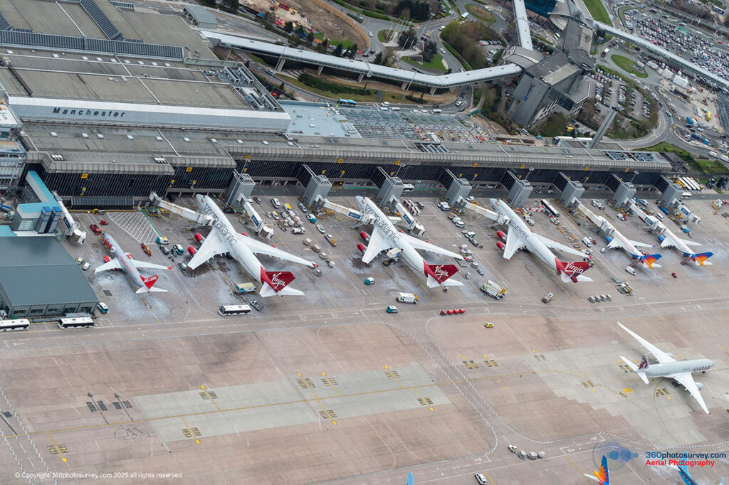
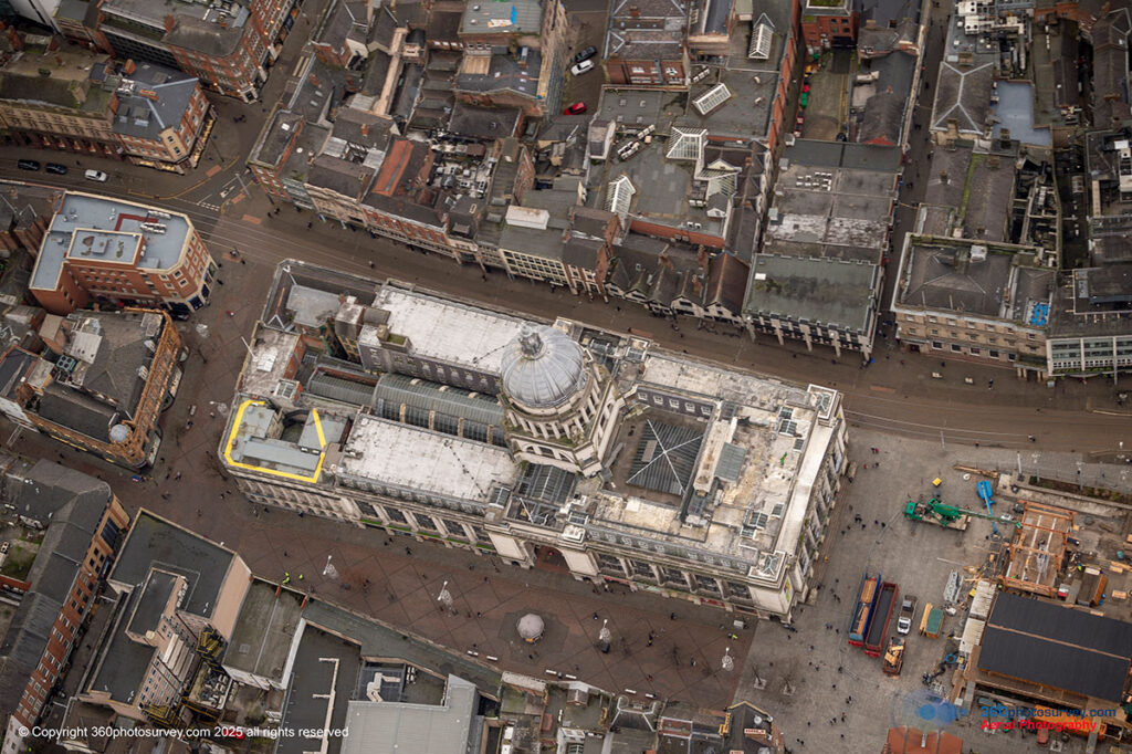
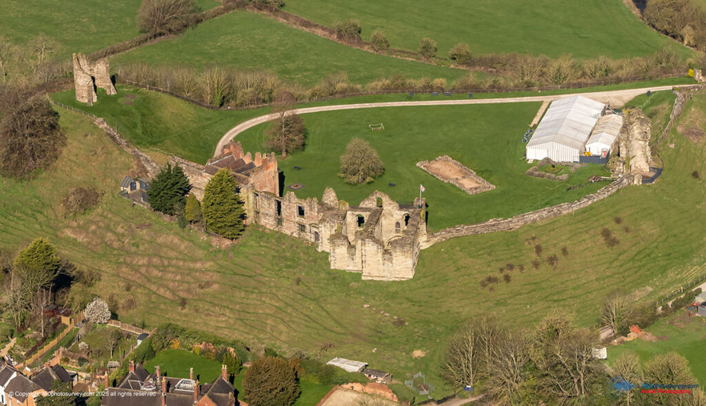
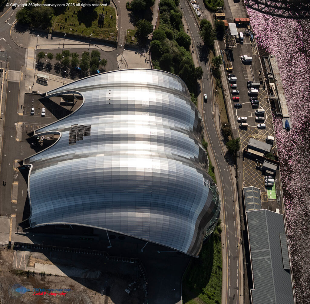
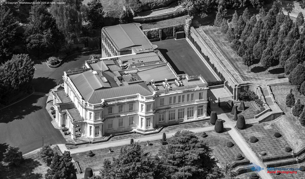
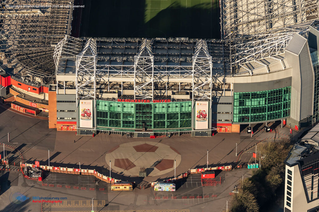
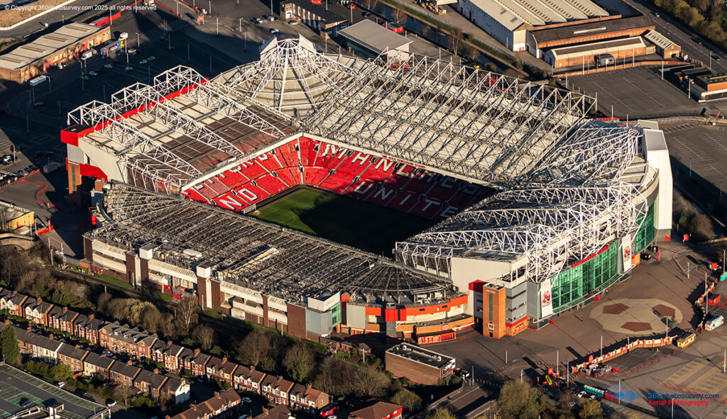
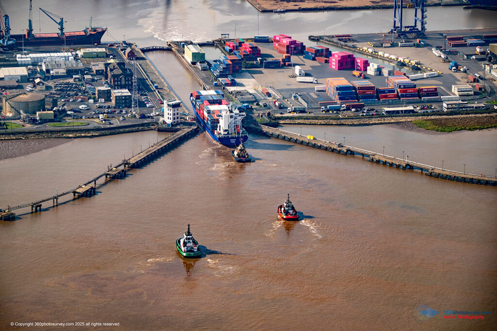
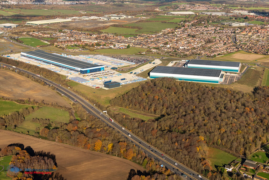
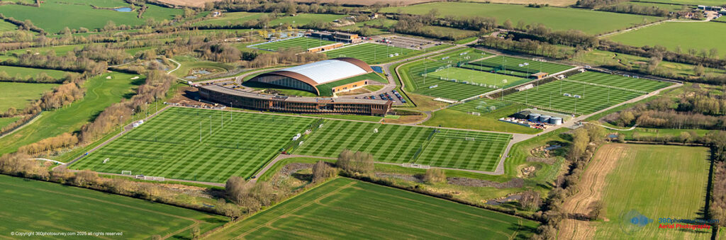
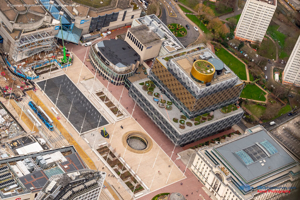
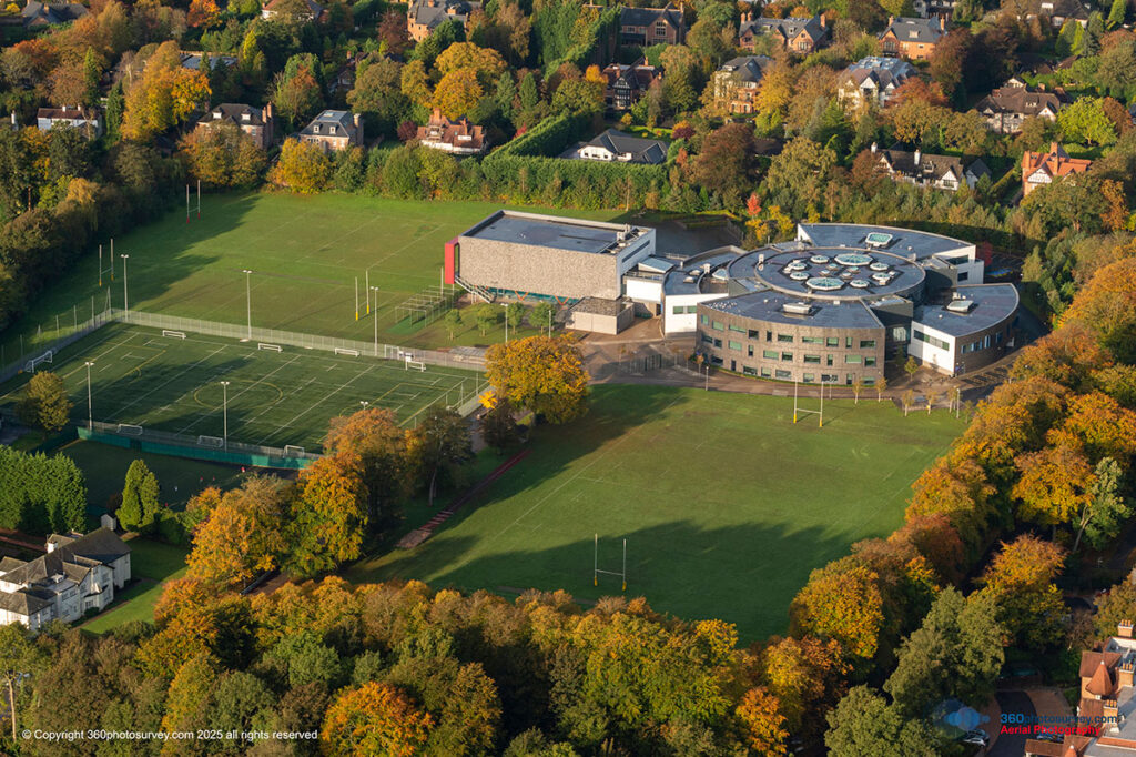
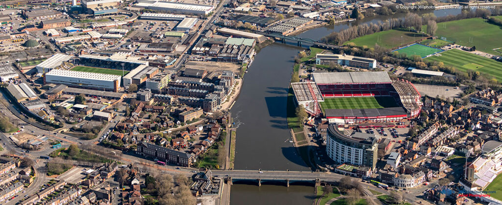
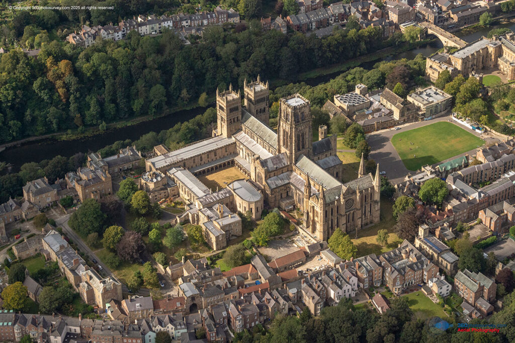
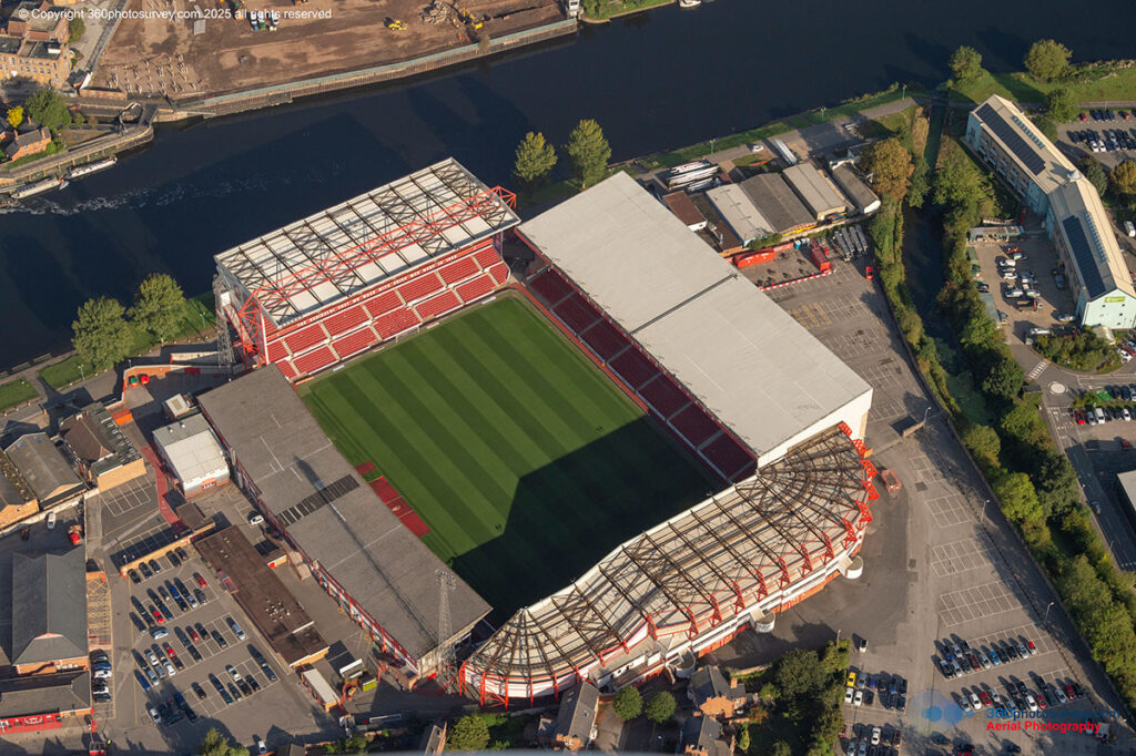
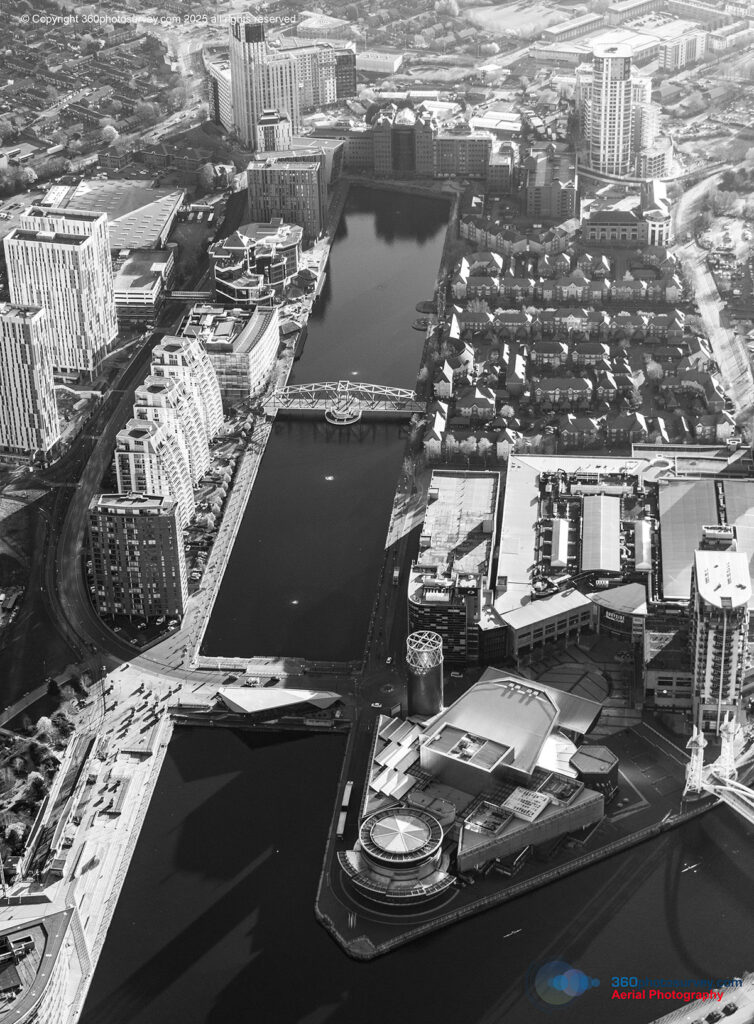
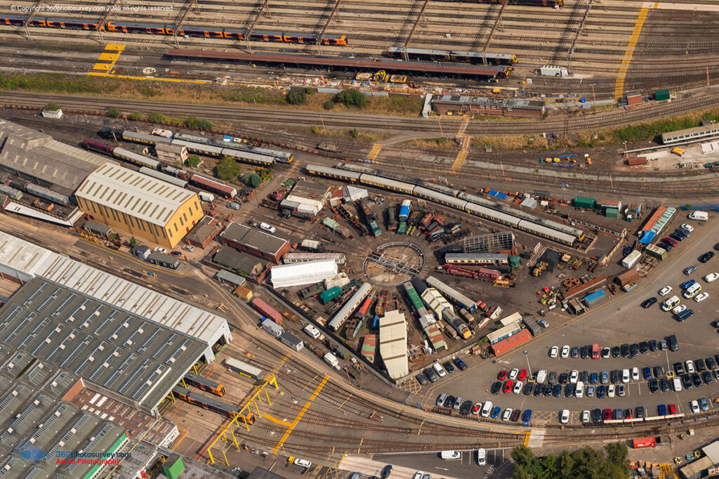
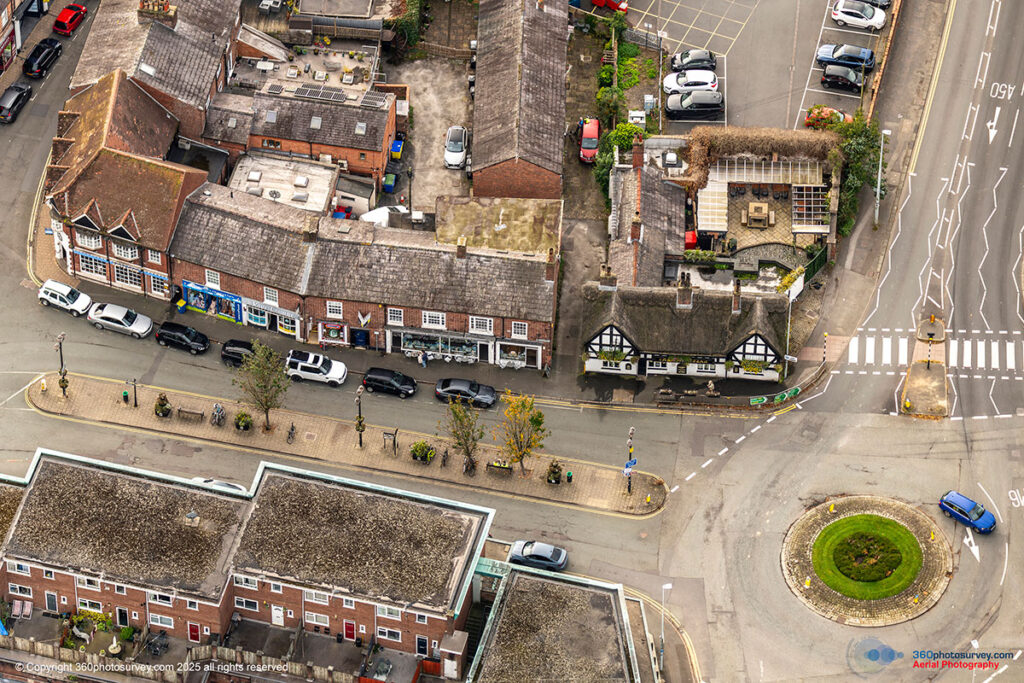
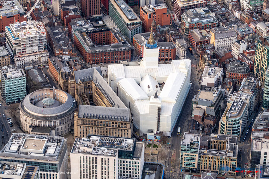
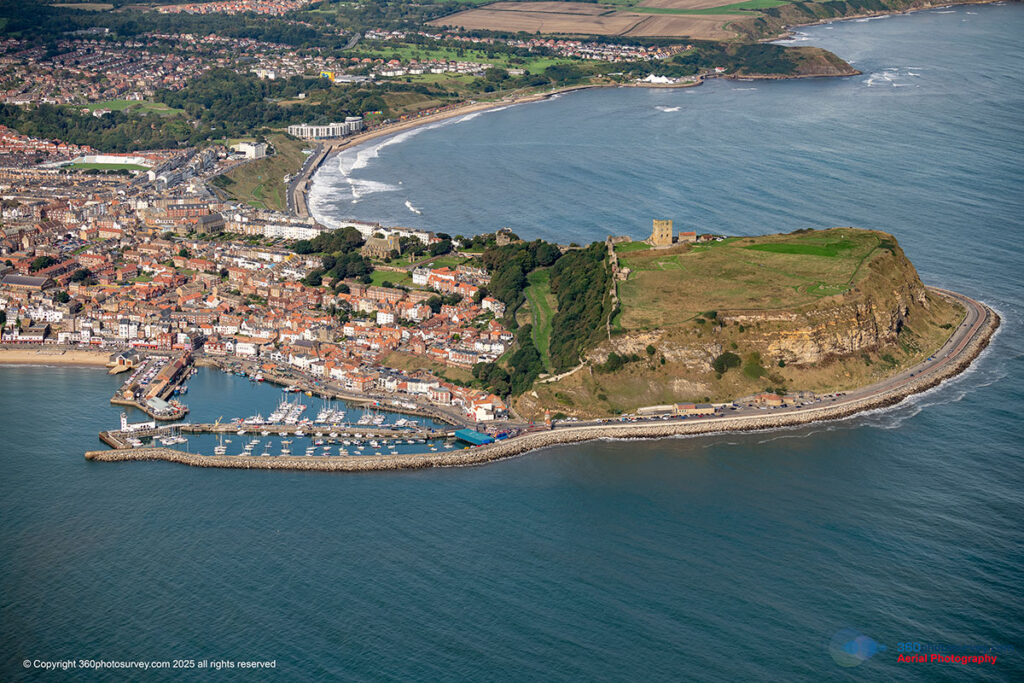
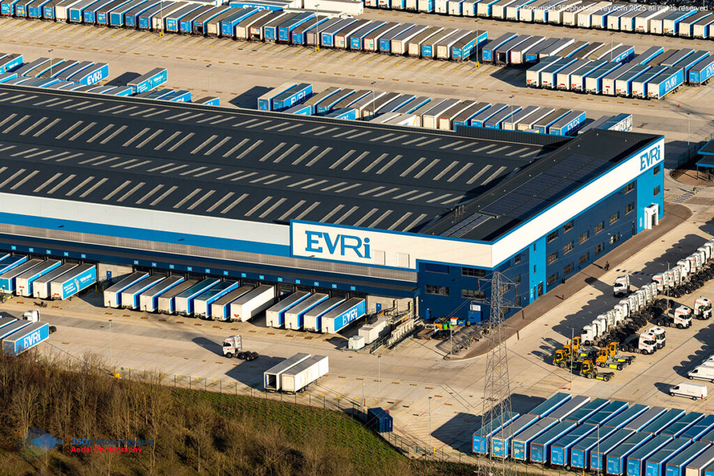
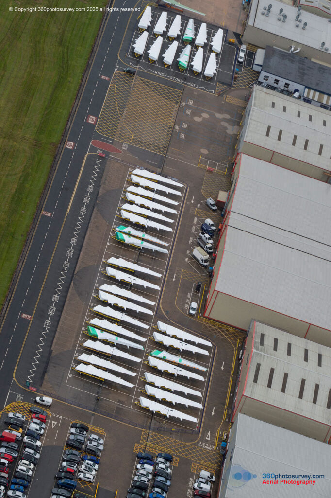
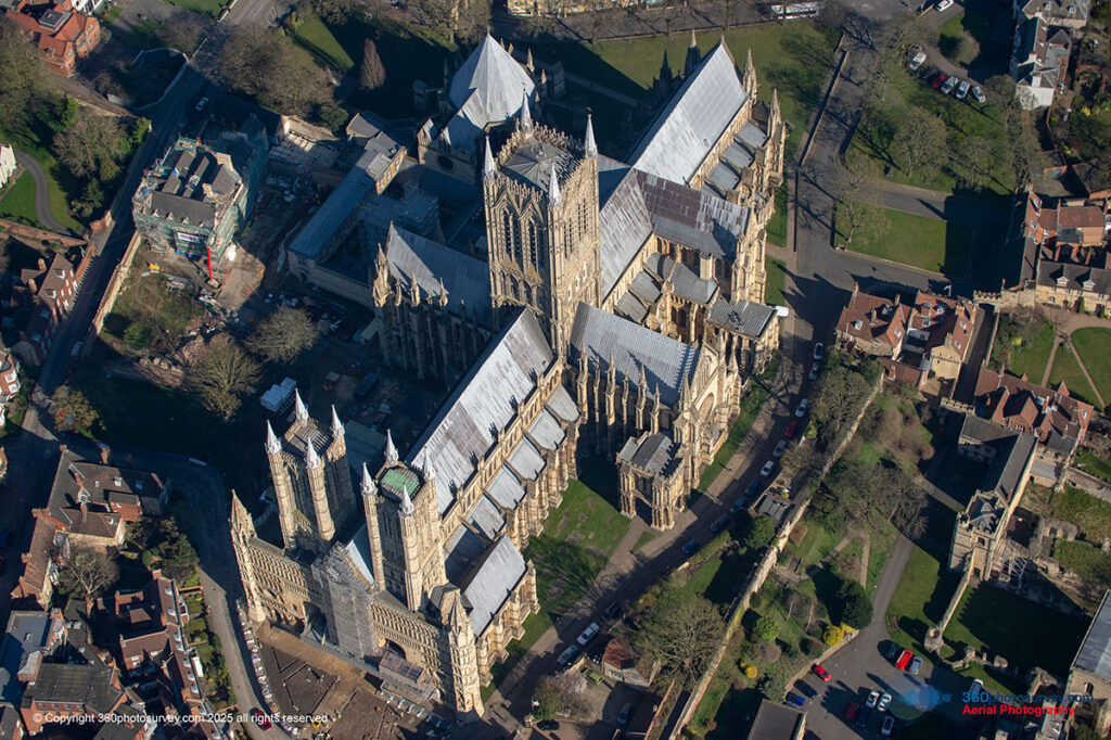
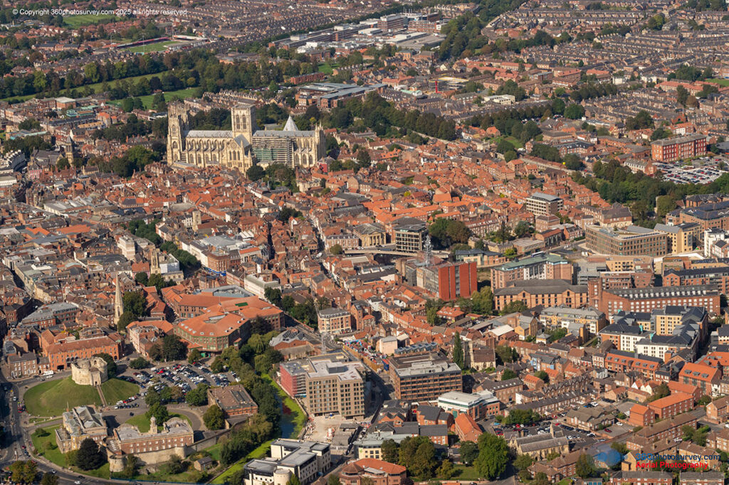
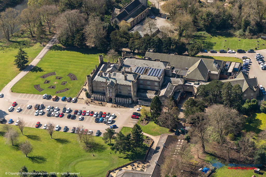
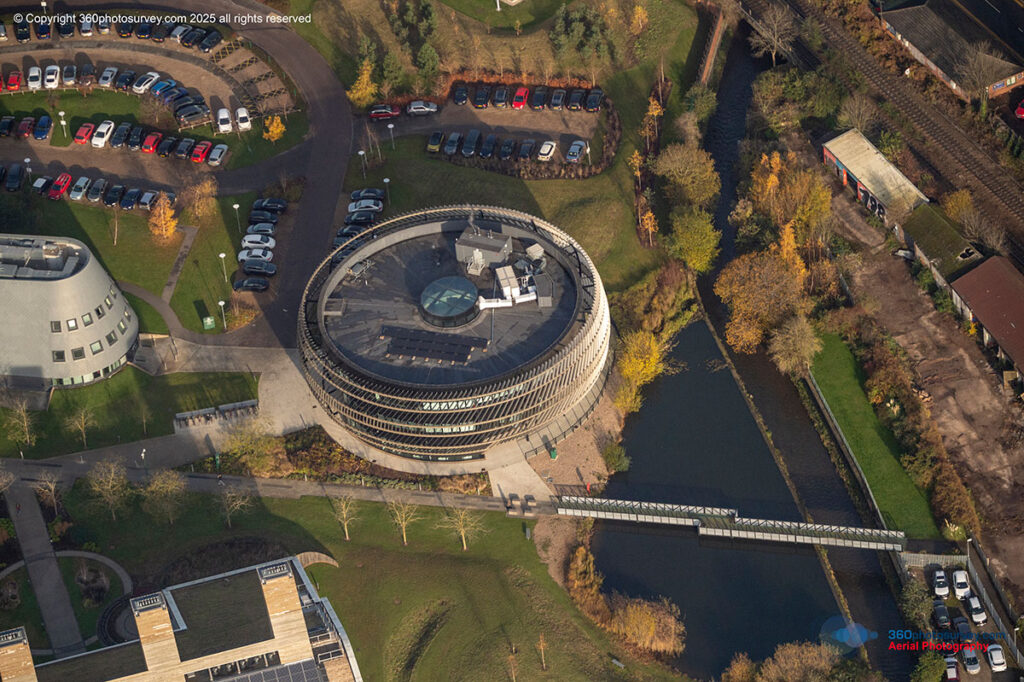
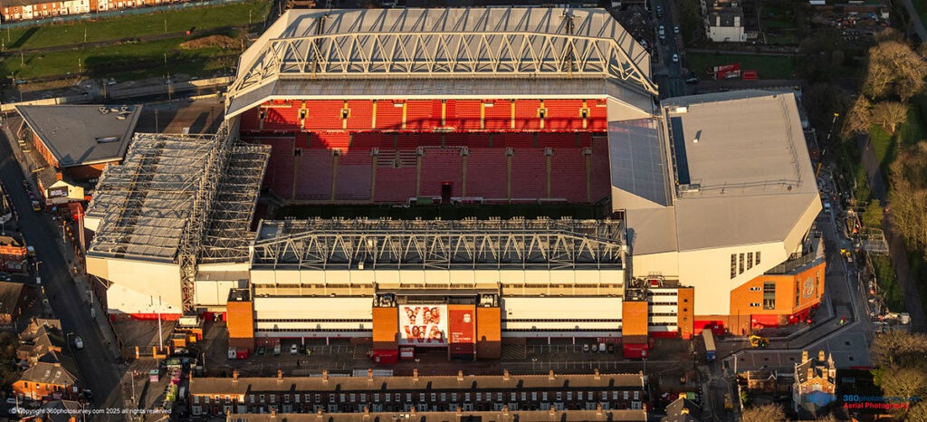
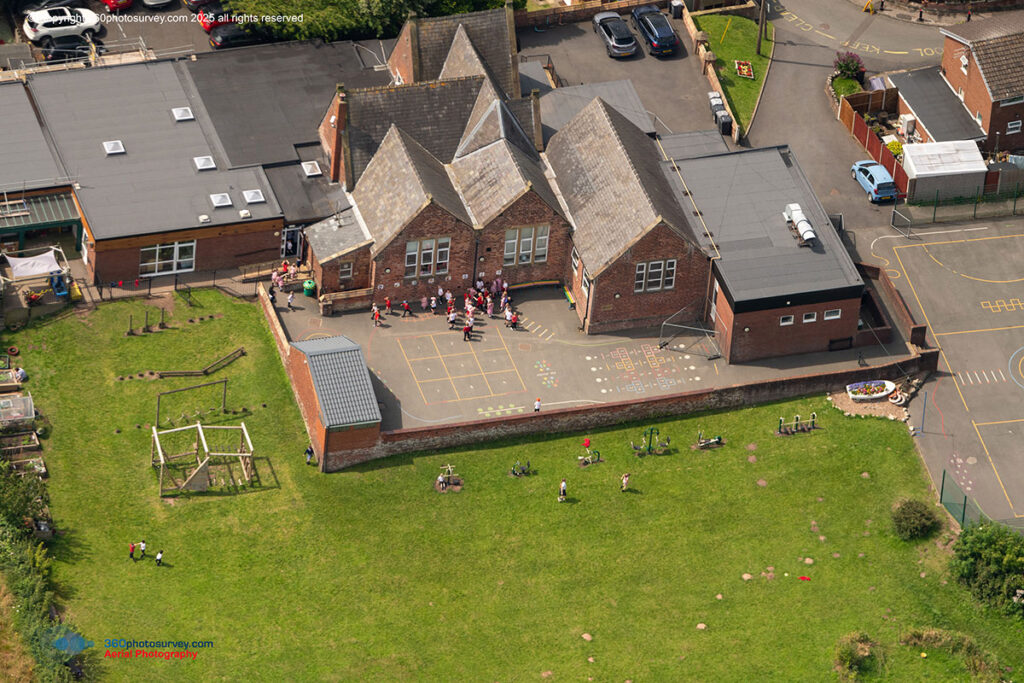
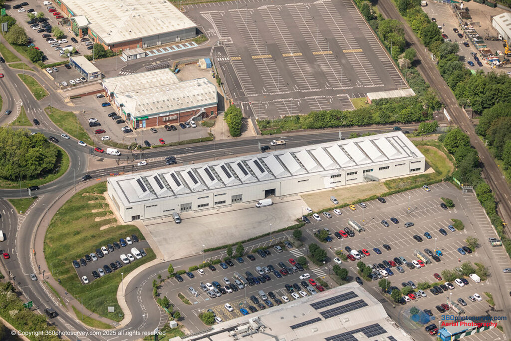
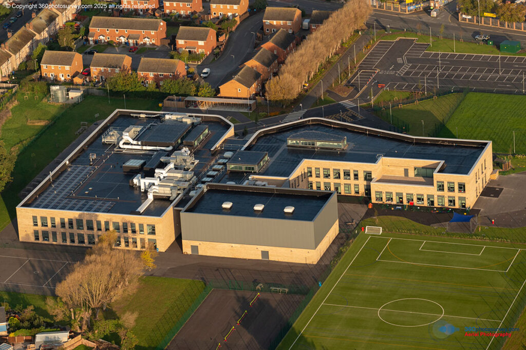
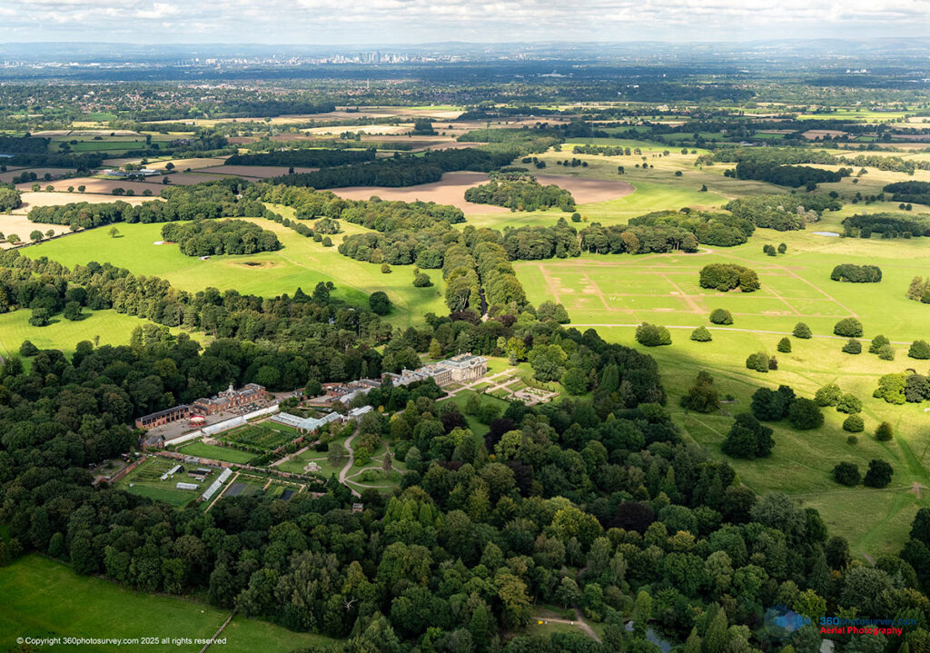
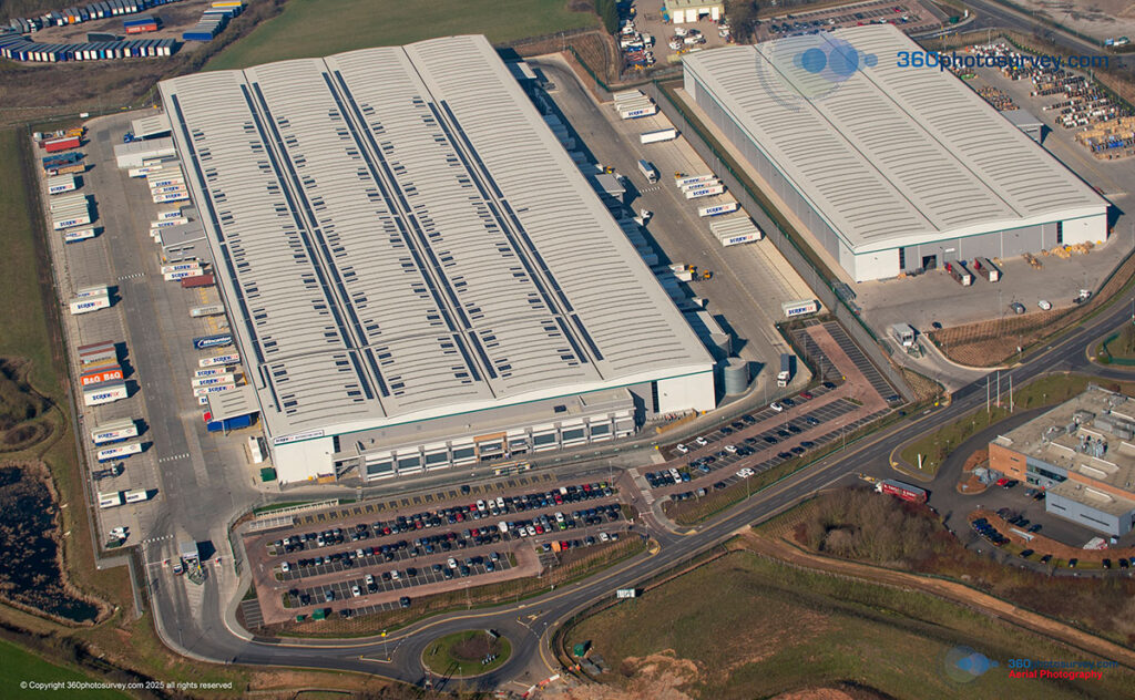
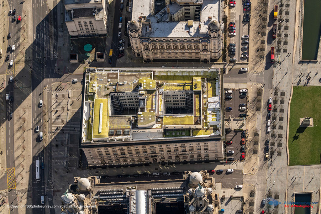
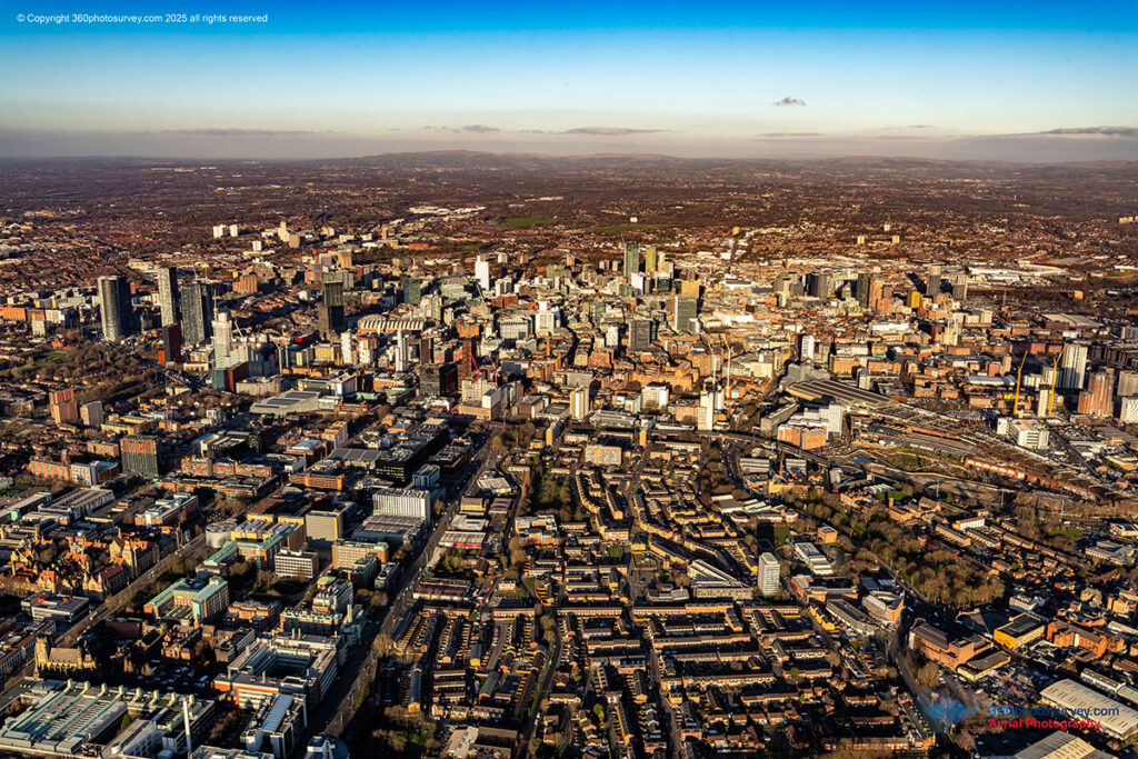
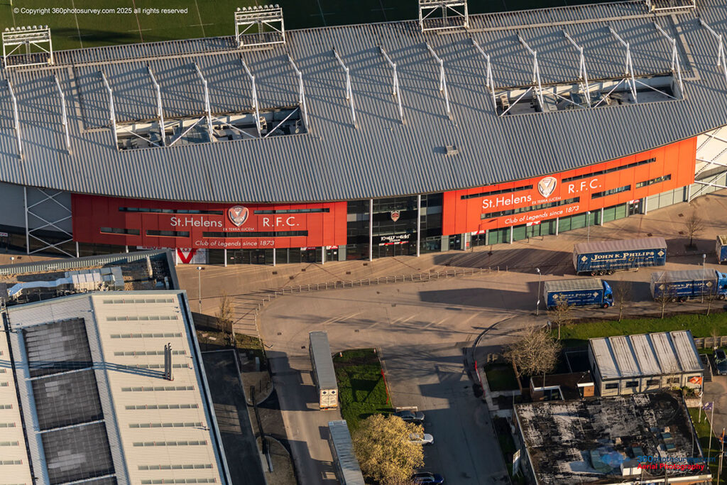
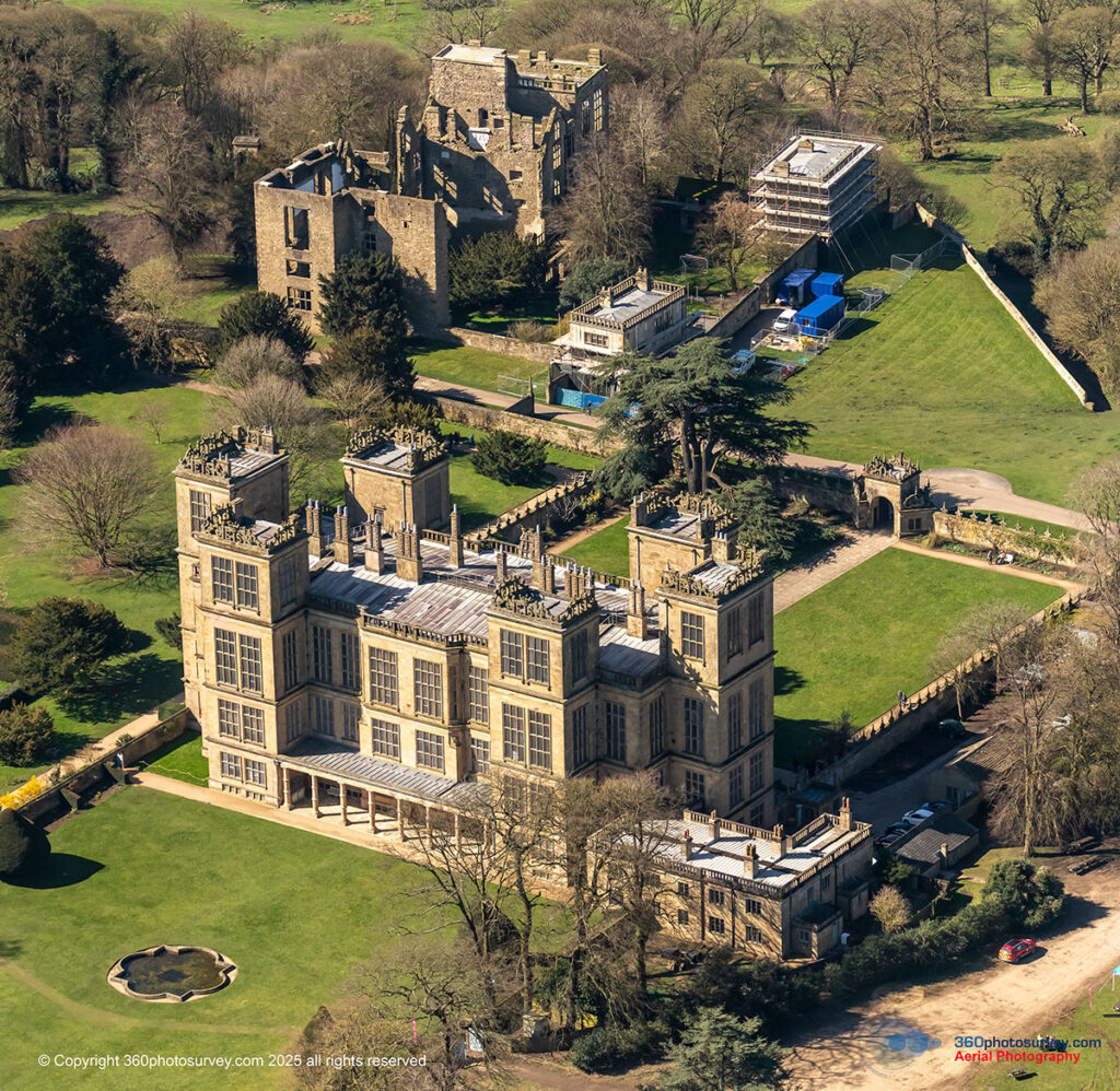
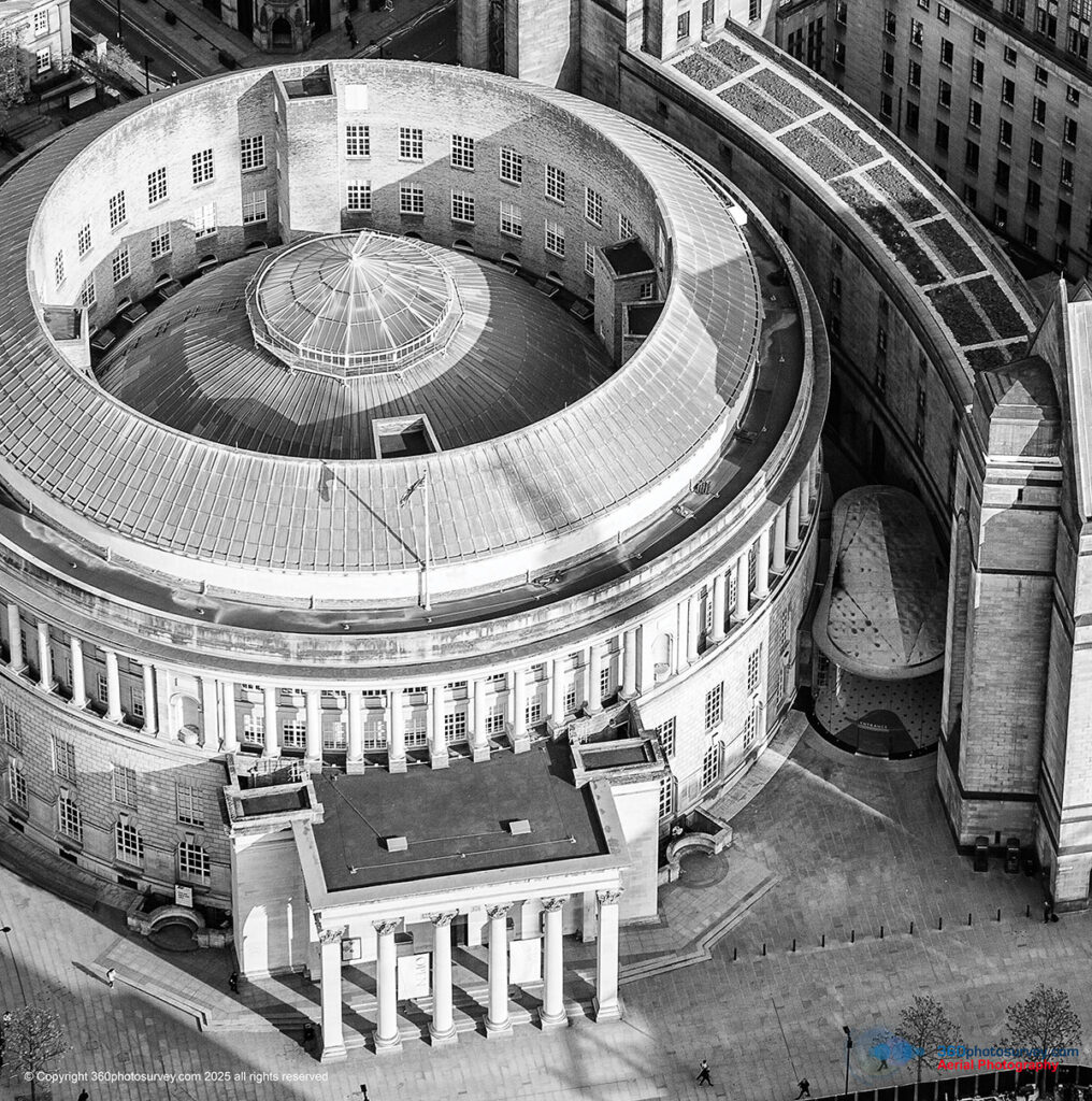
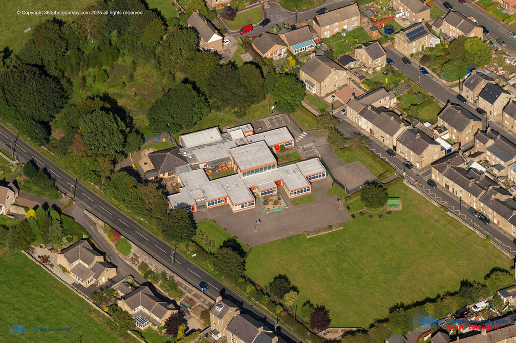
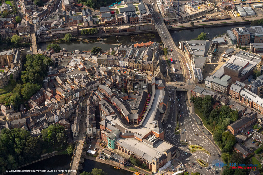
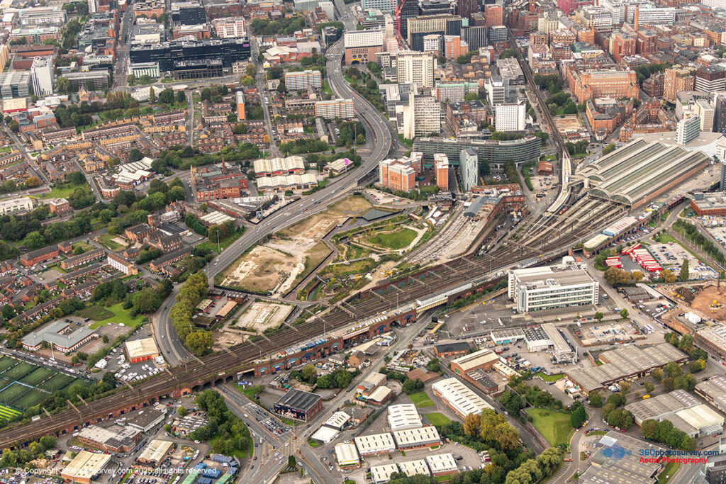
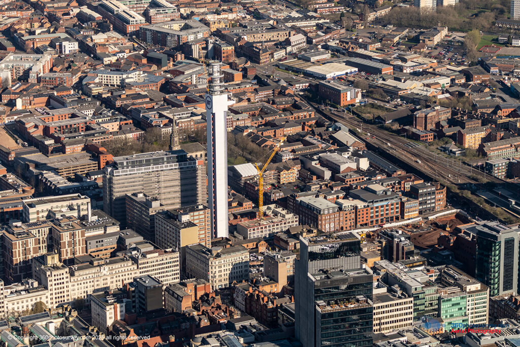
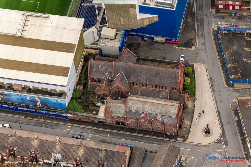
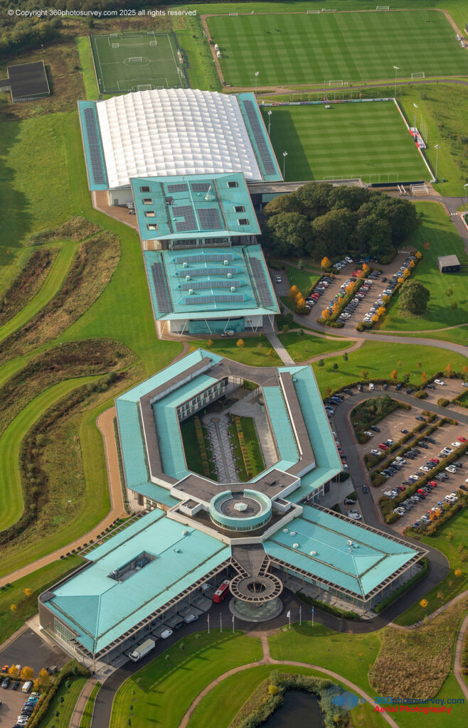
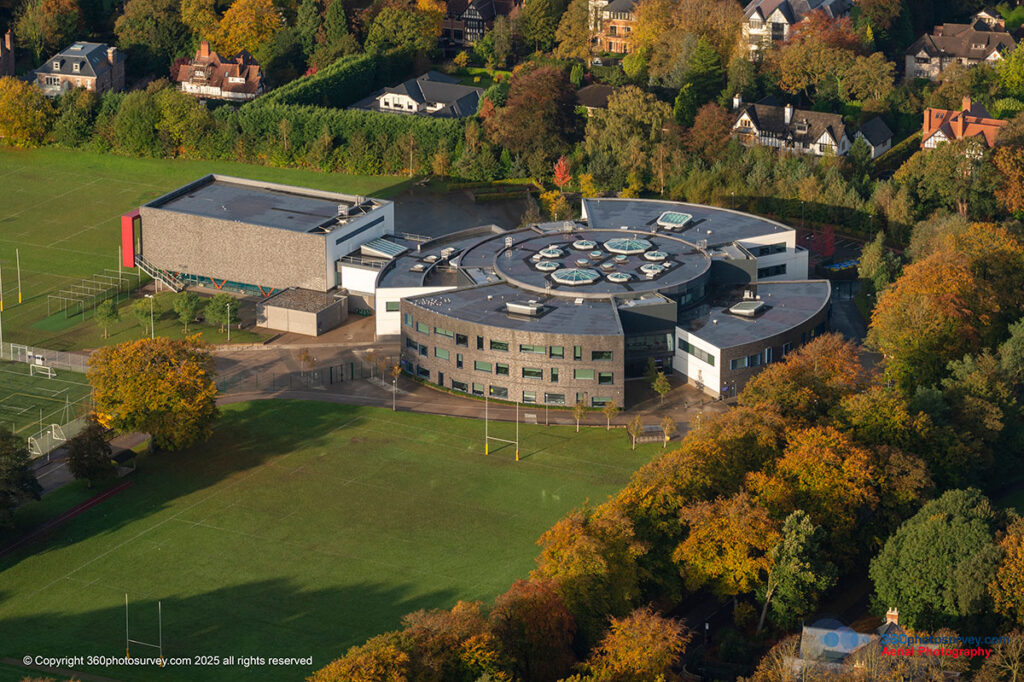
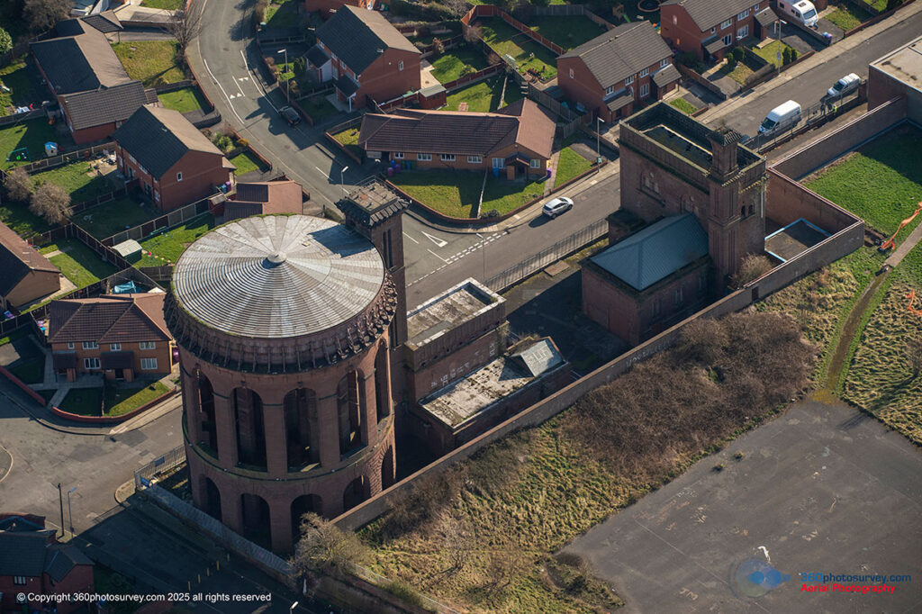
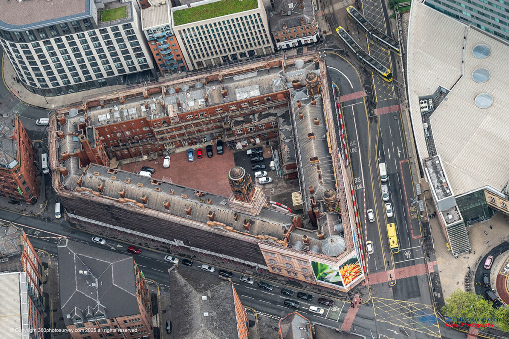
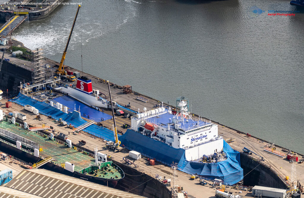
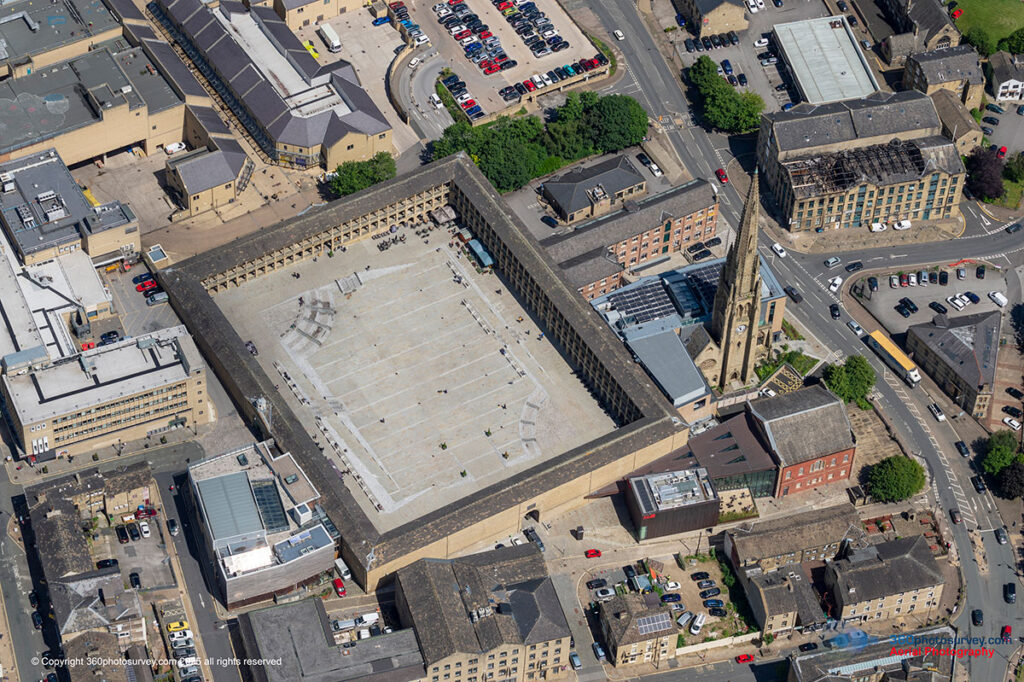
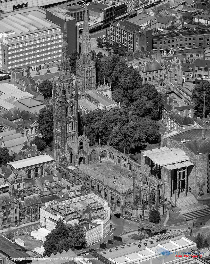
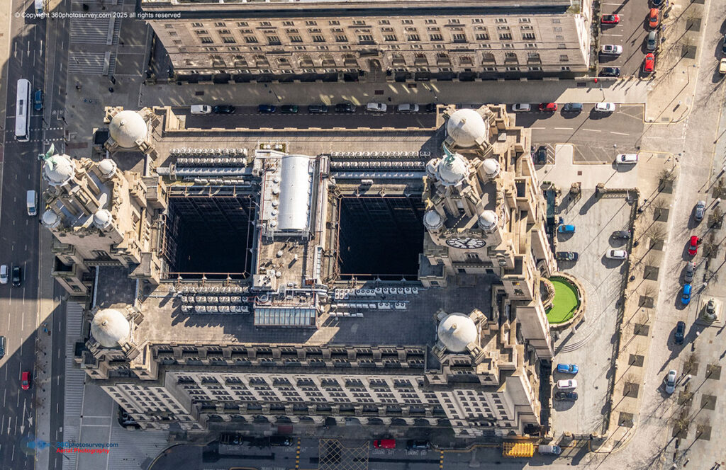
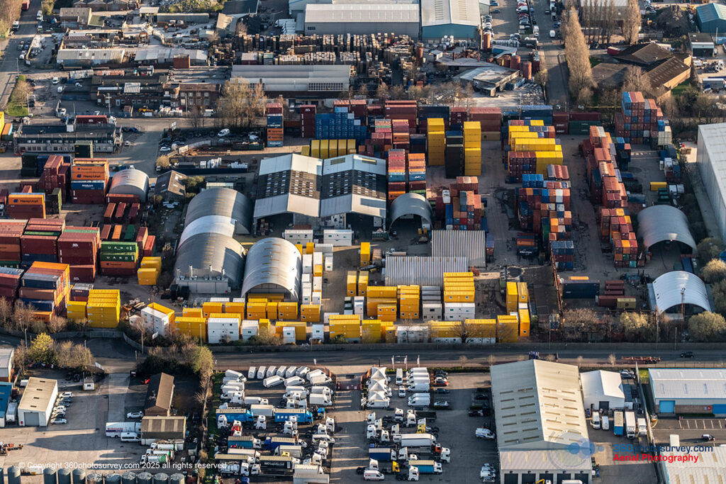
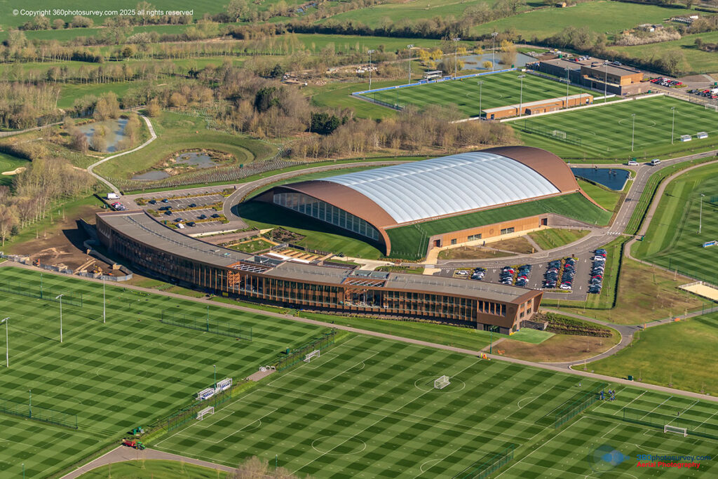
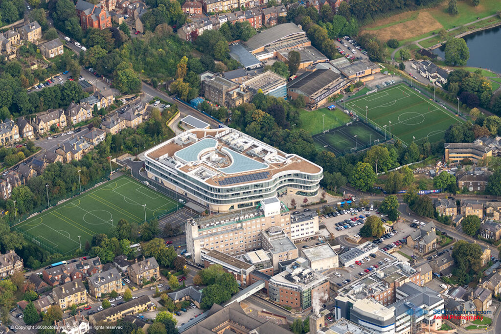
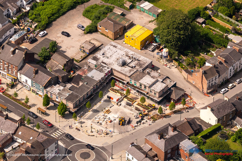
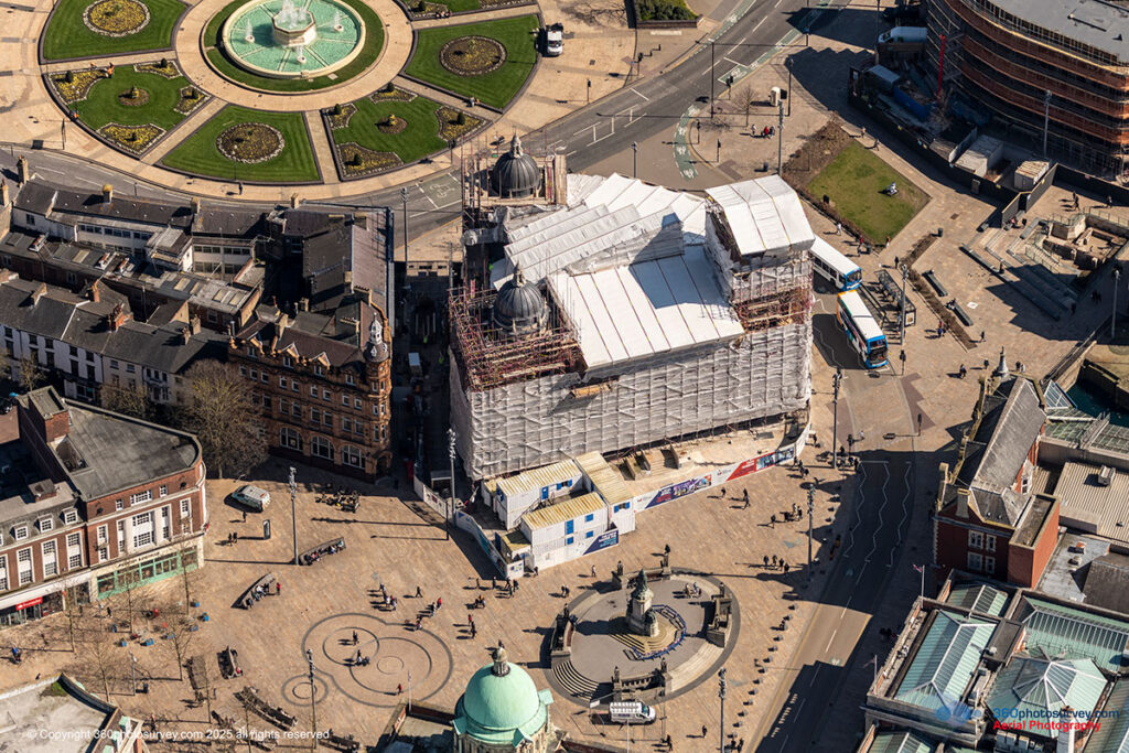
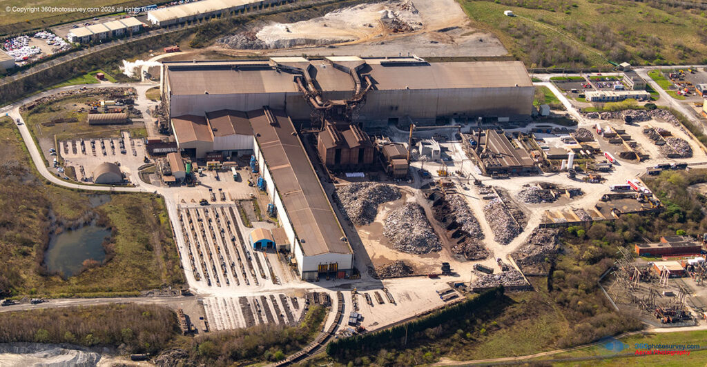
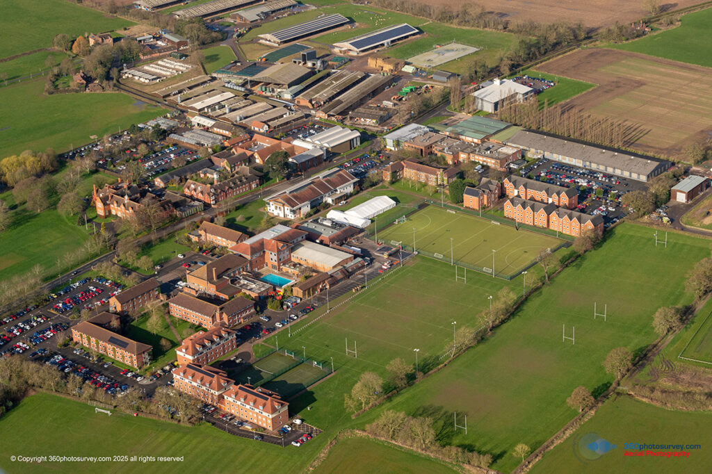
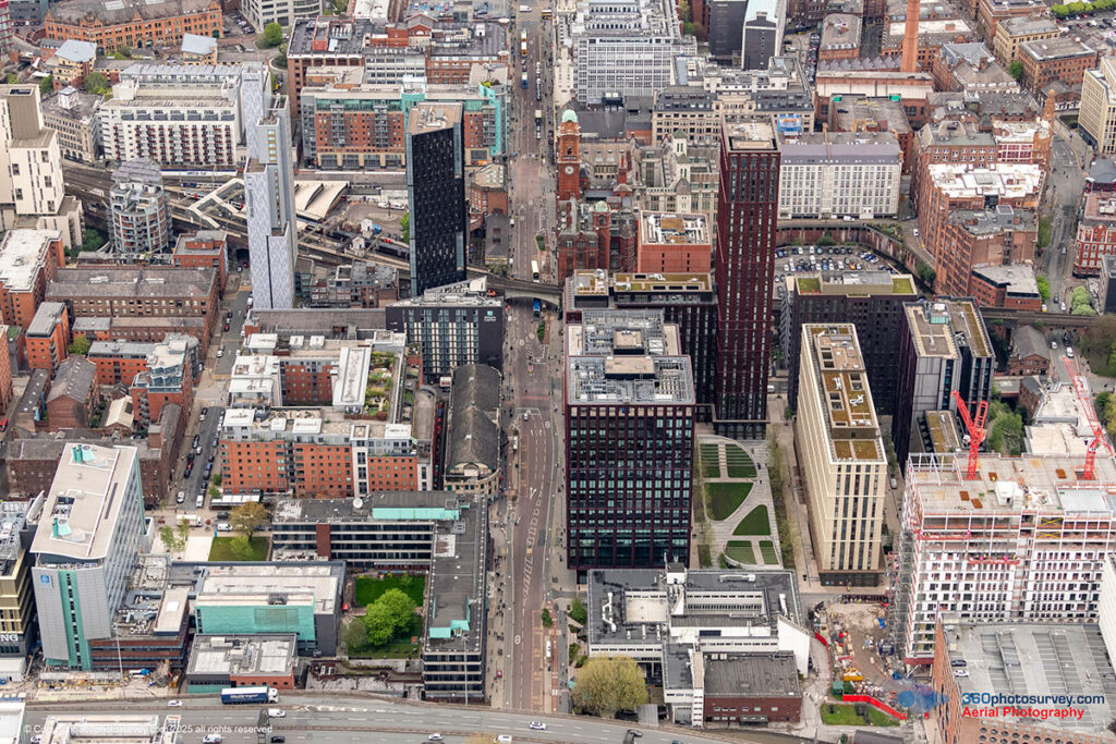
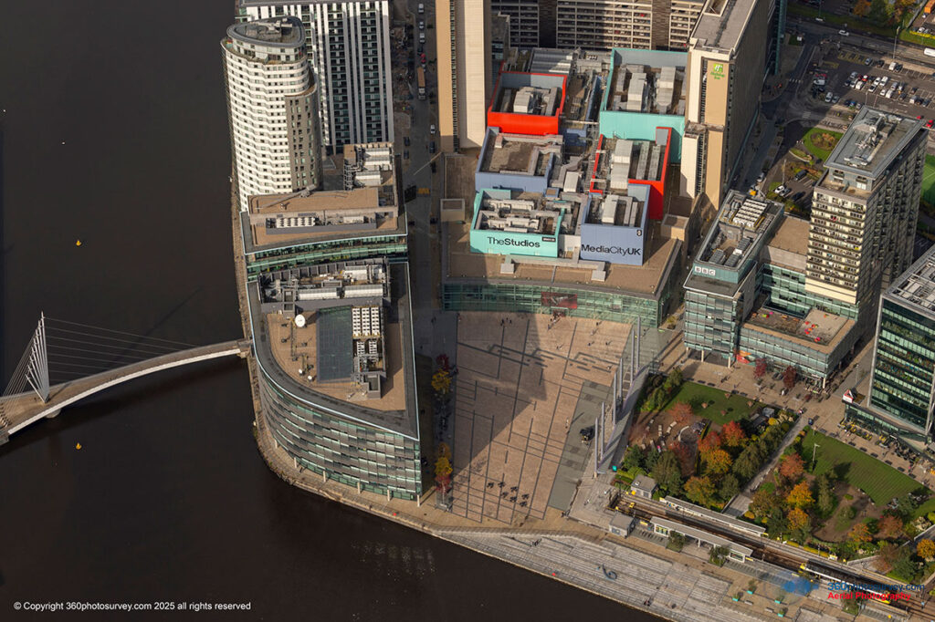
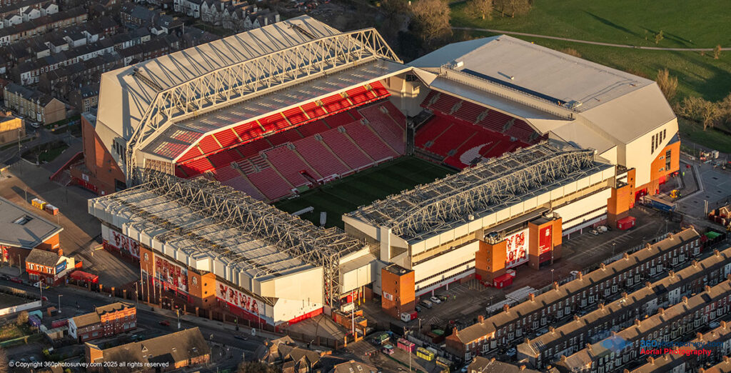
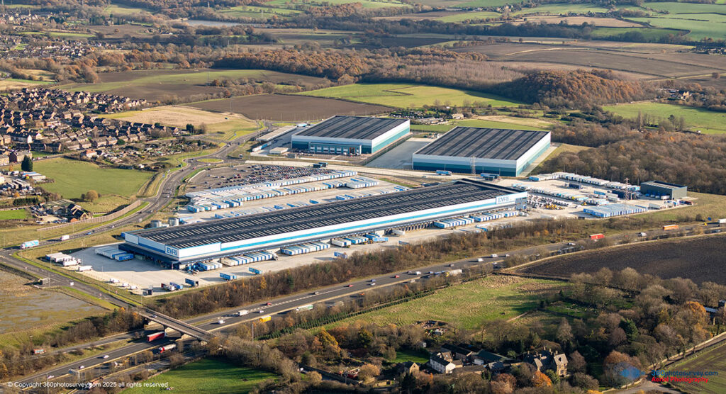
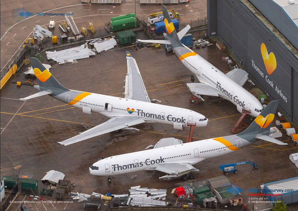
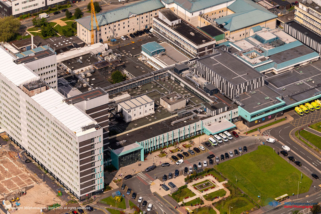
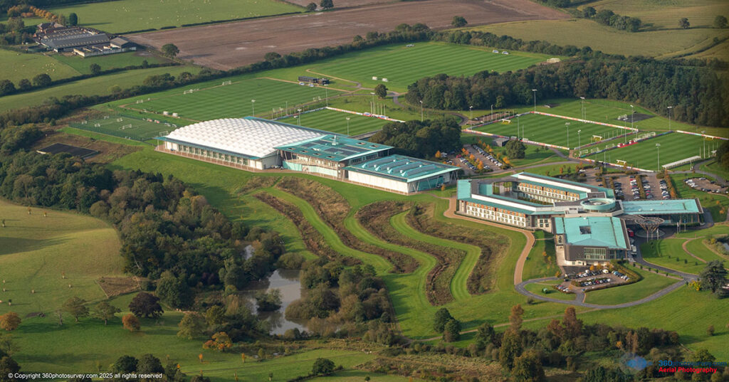
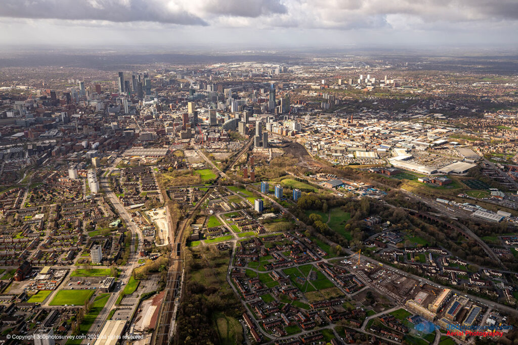
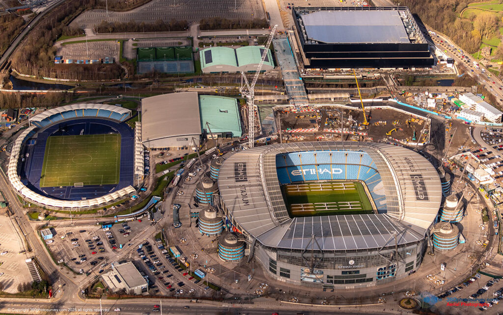
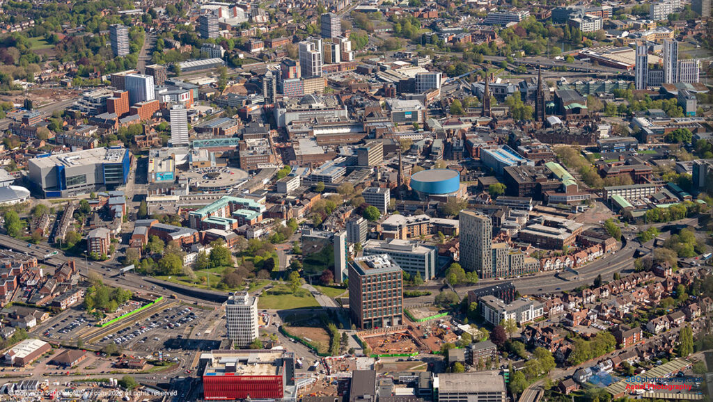
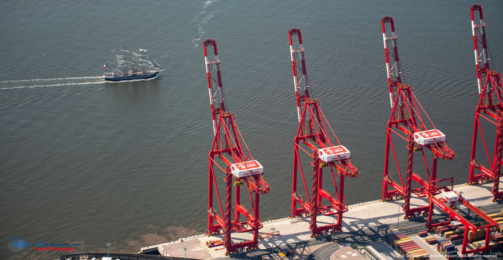
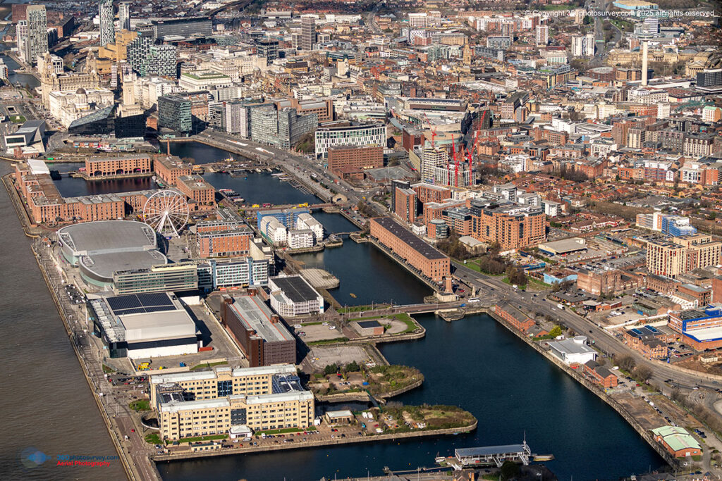
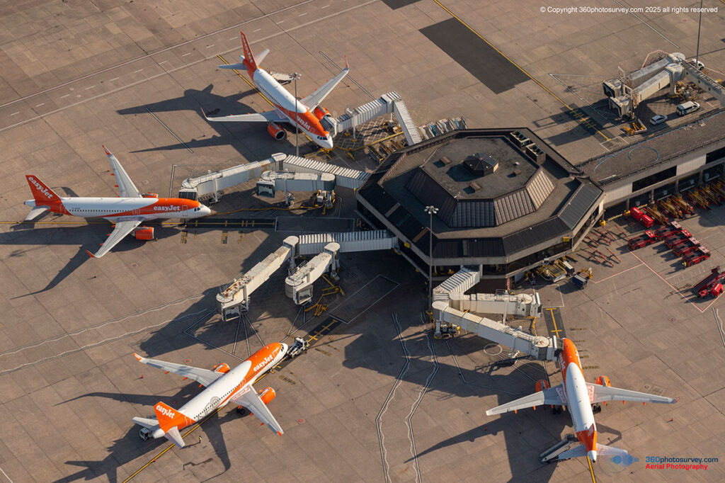
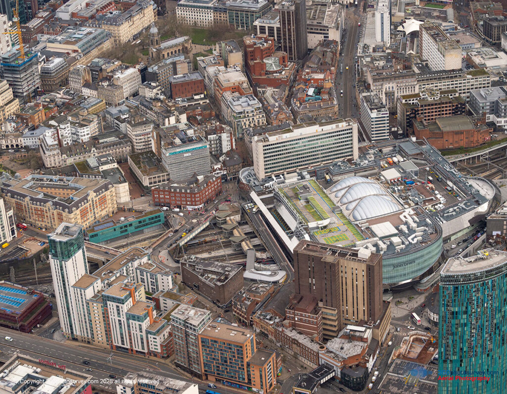
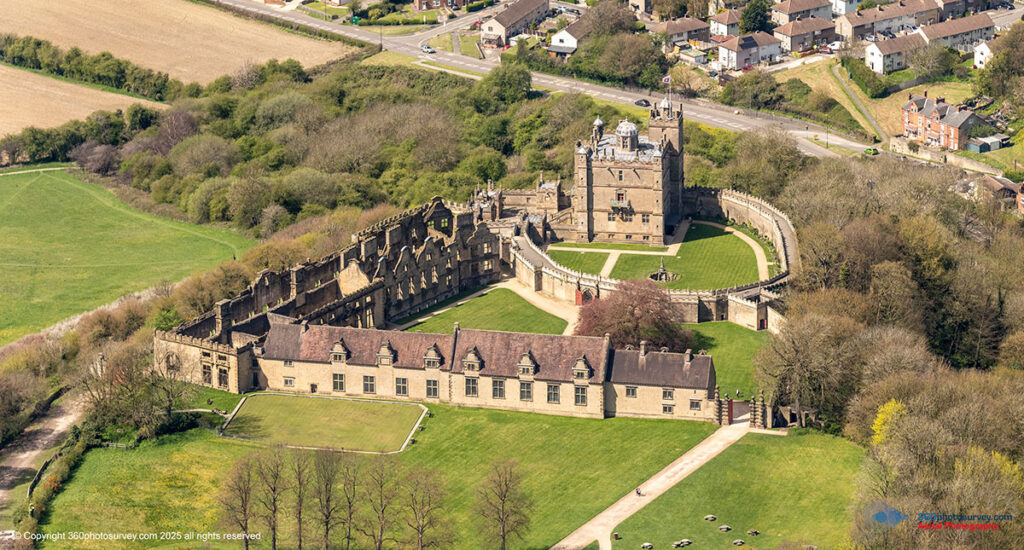
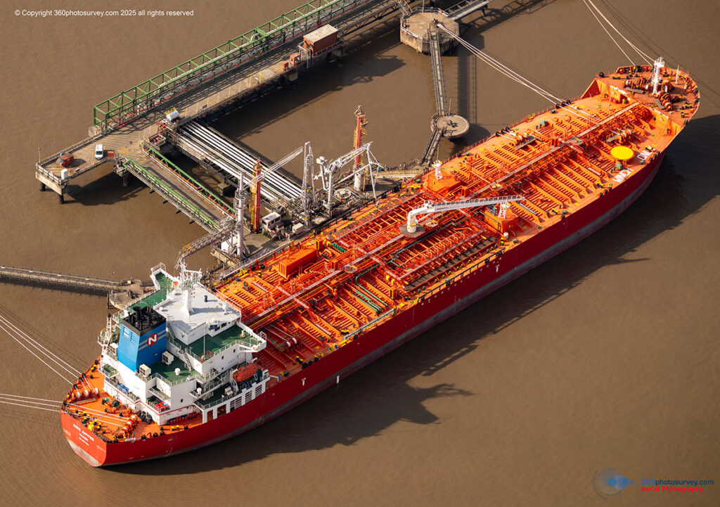
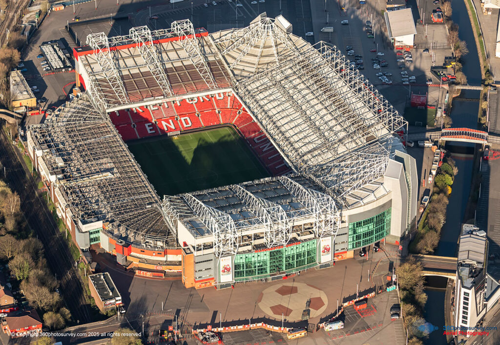
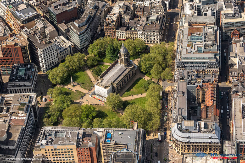
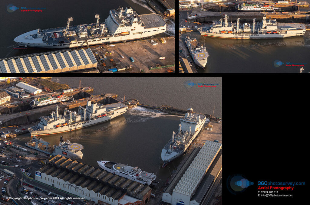
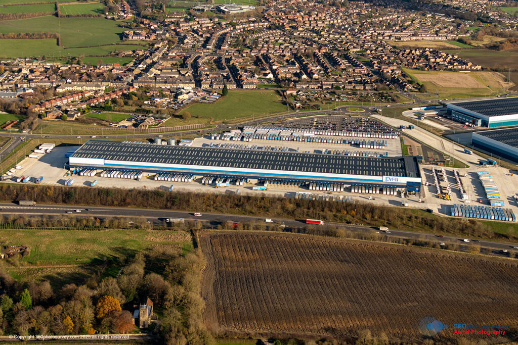
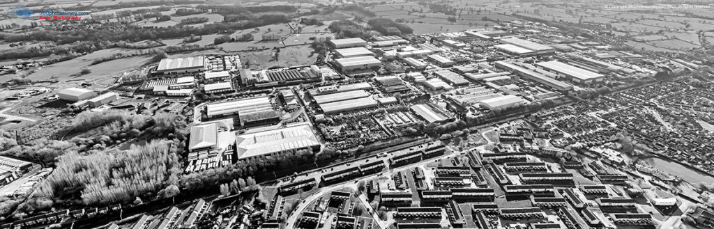
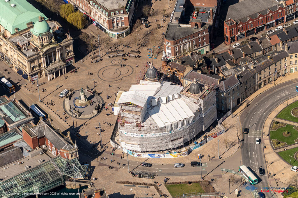
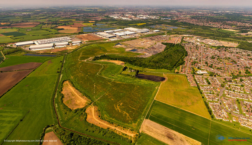
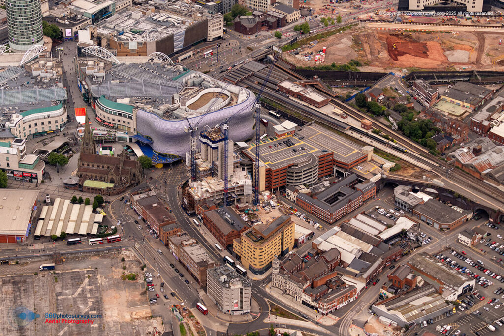
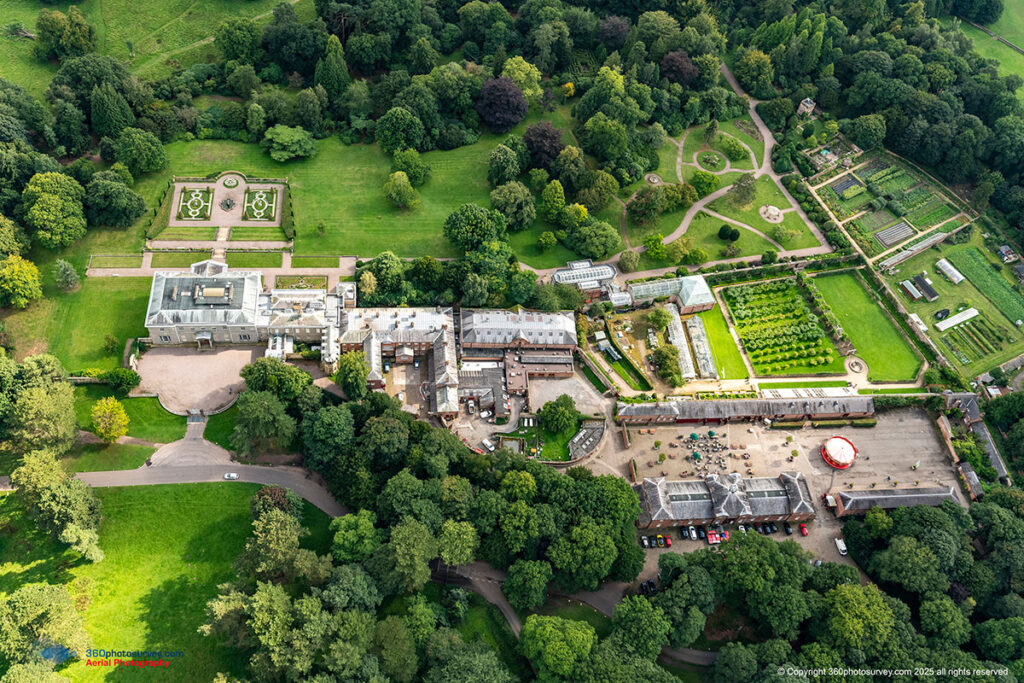
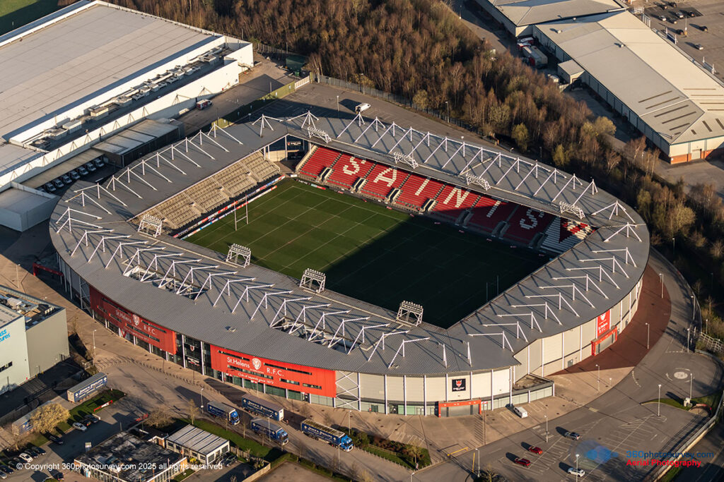
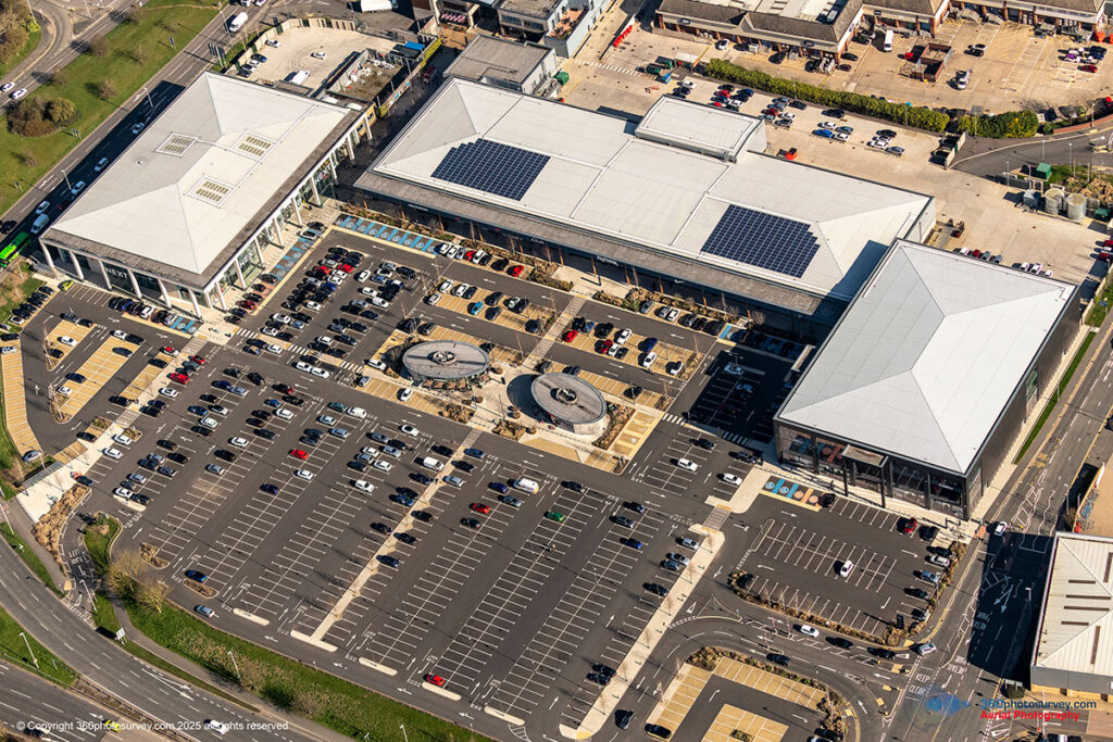
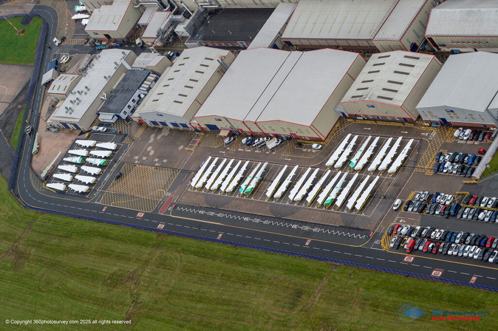
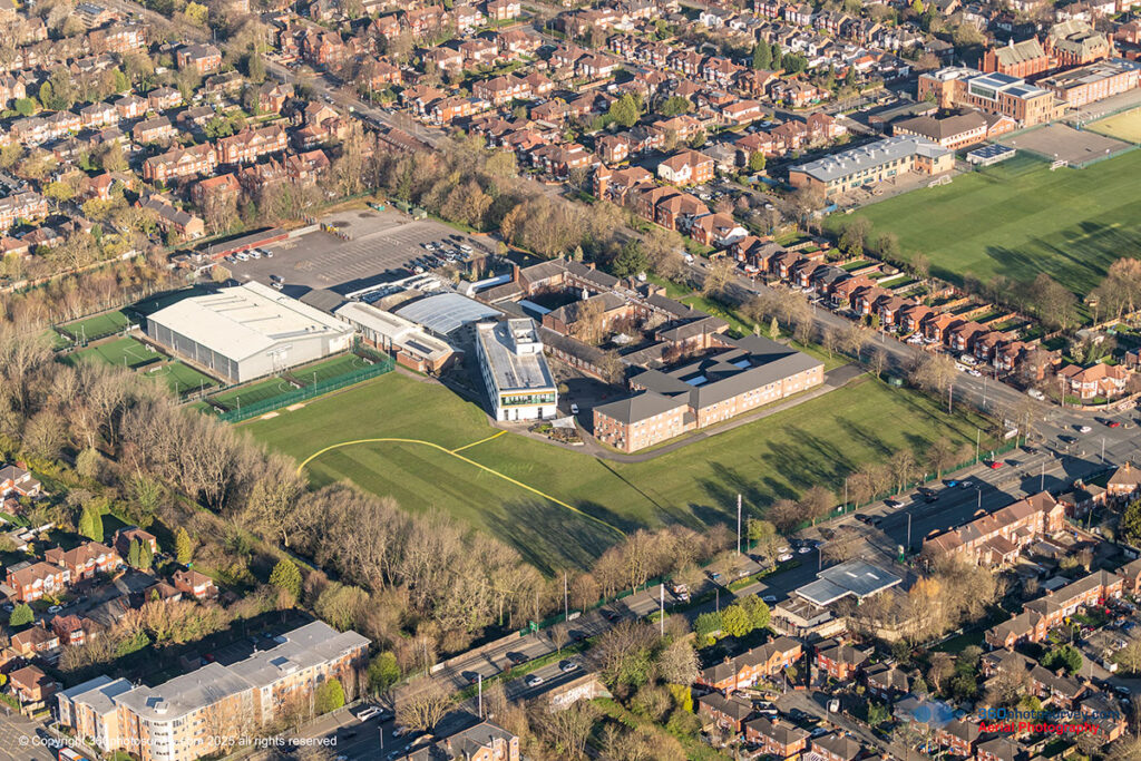
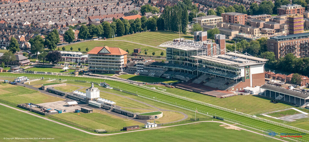
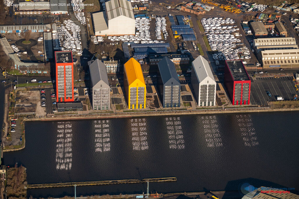
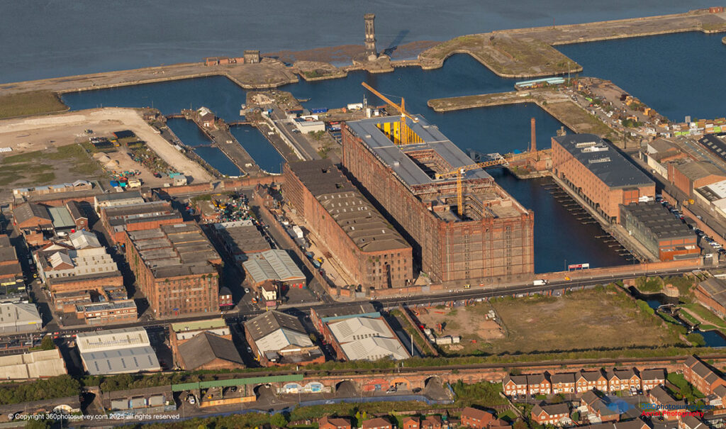
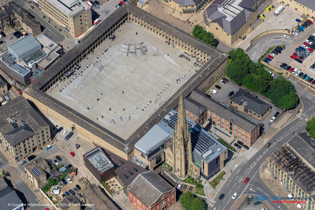
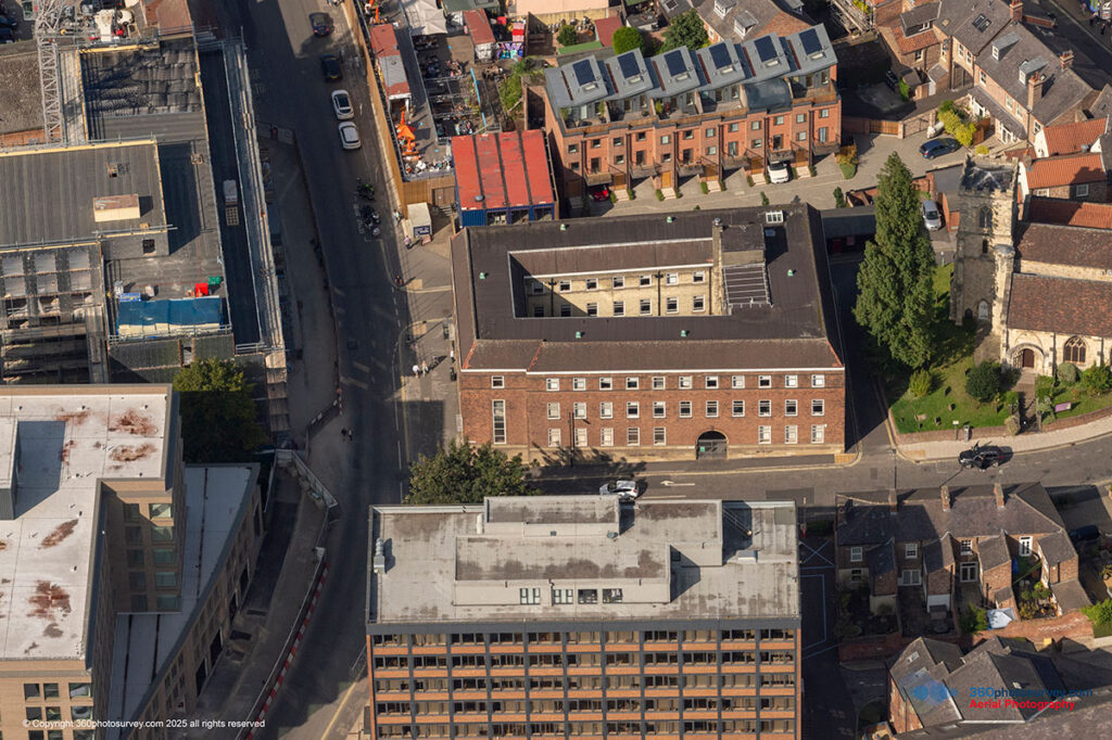
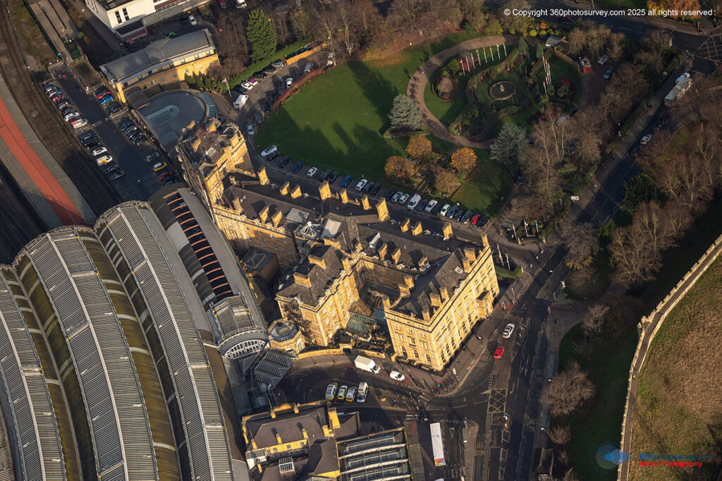
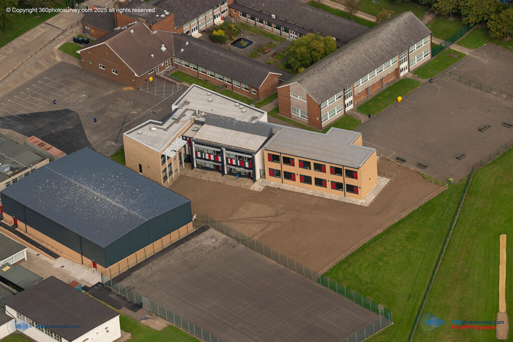
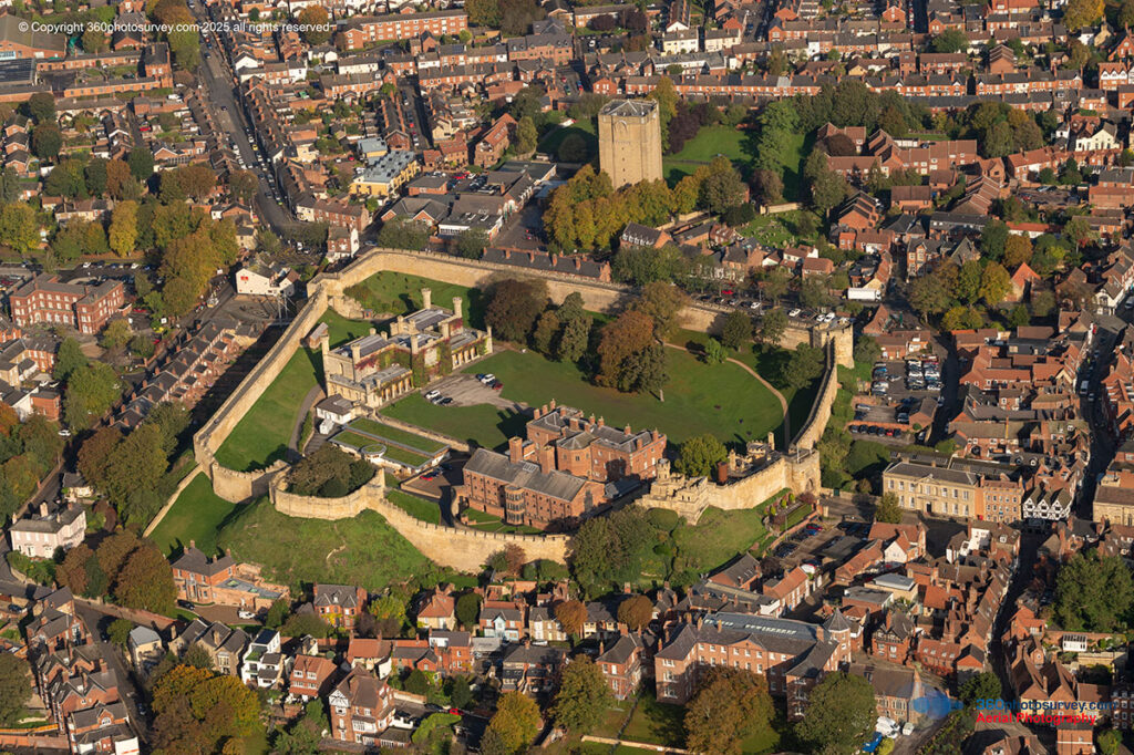
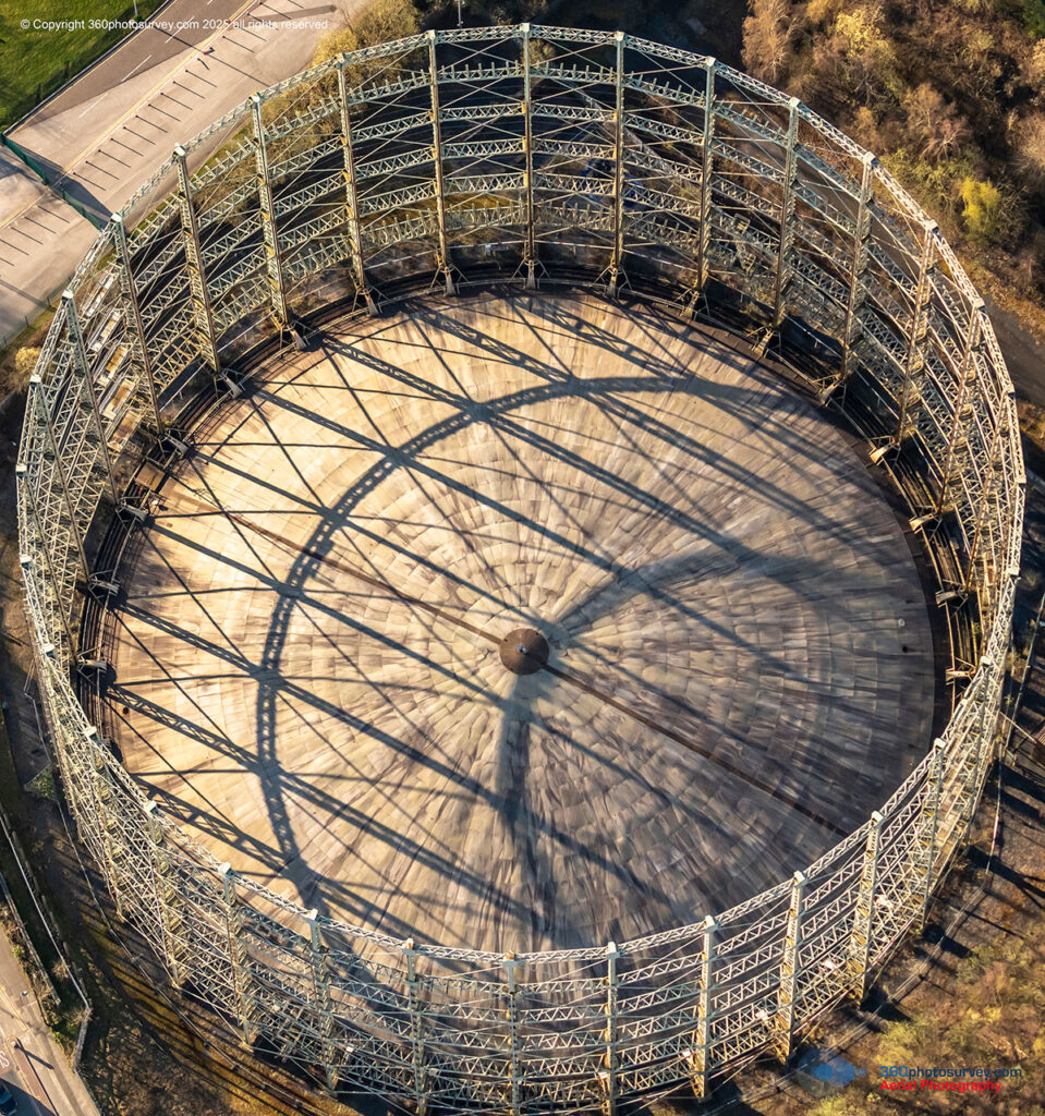
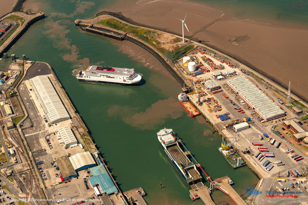
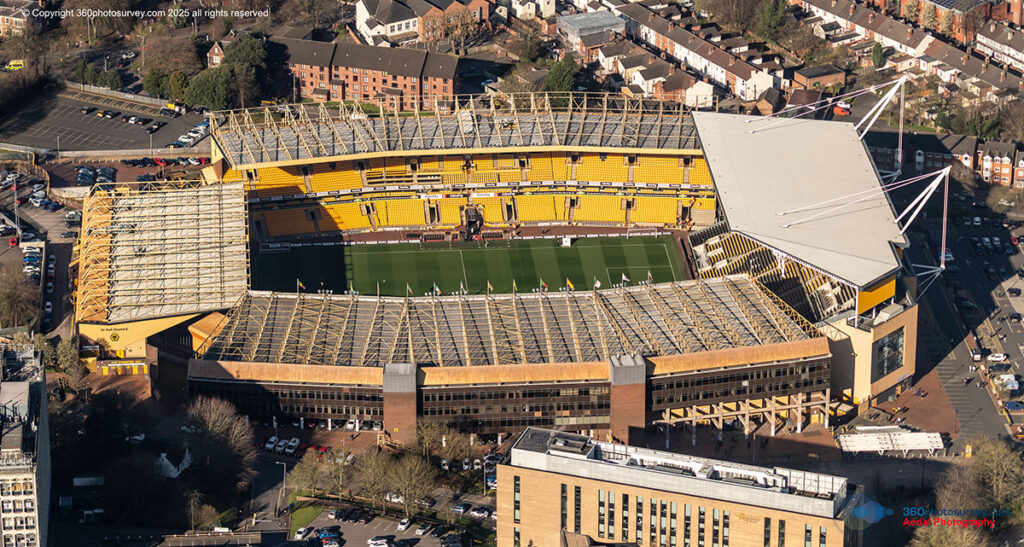
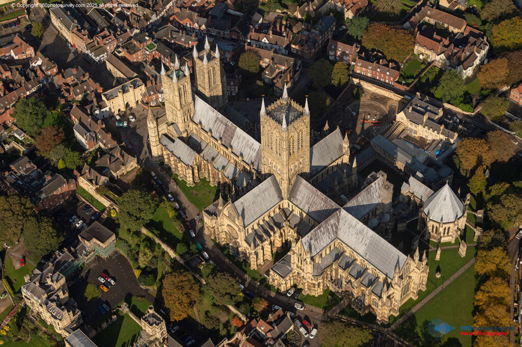
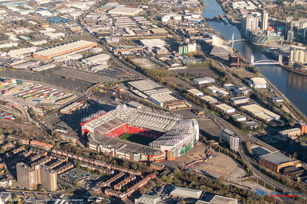
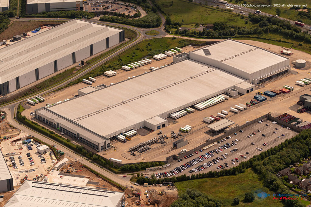
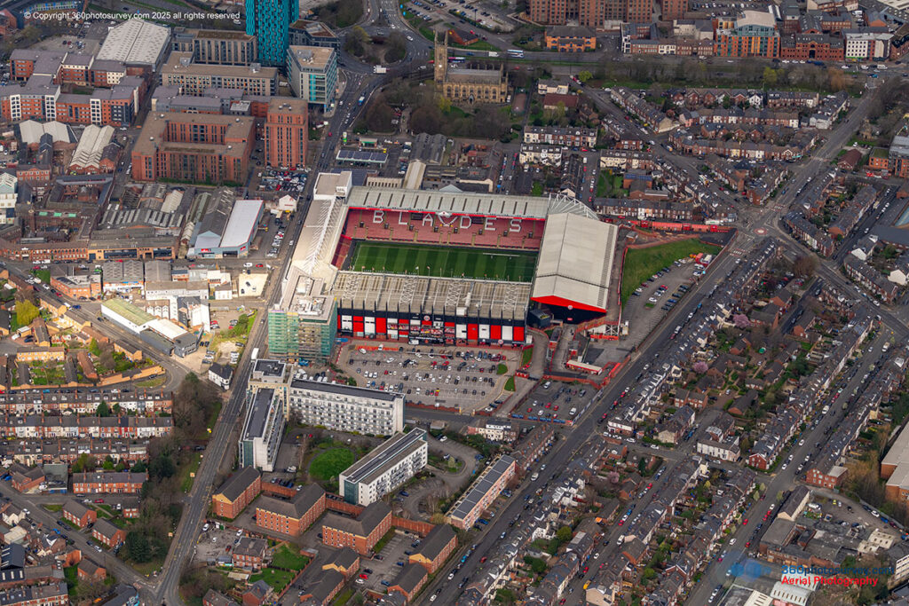
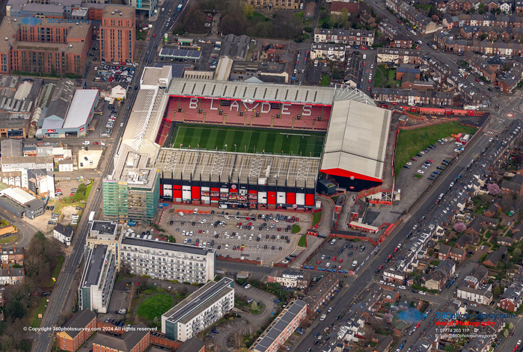
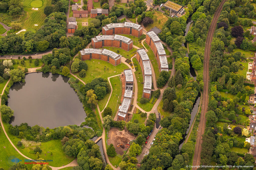
Commercial Real Estate
- Development sites
- Buildings and Estates
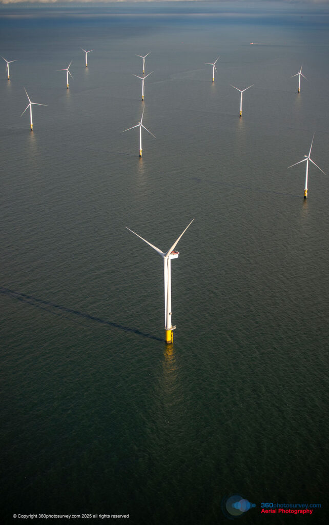
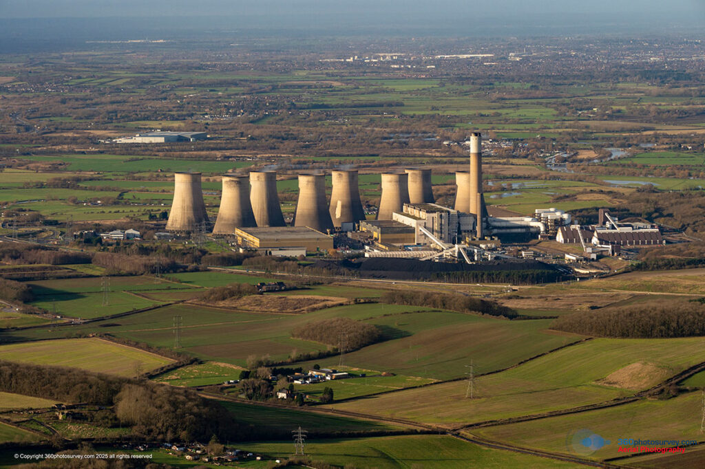
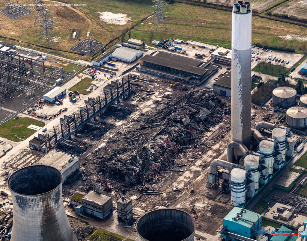
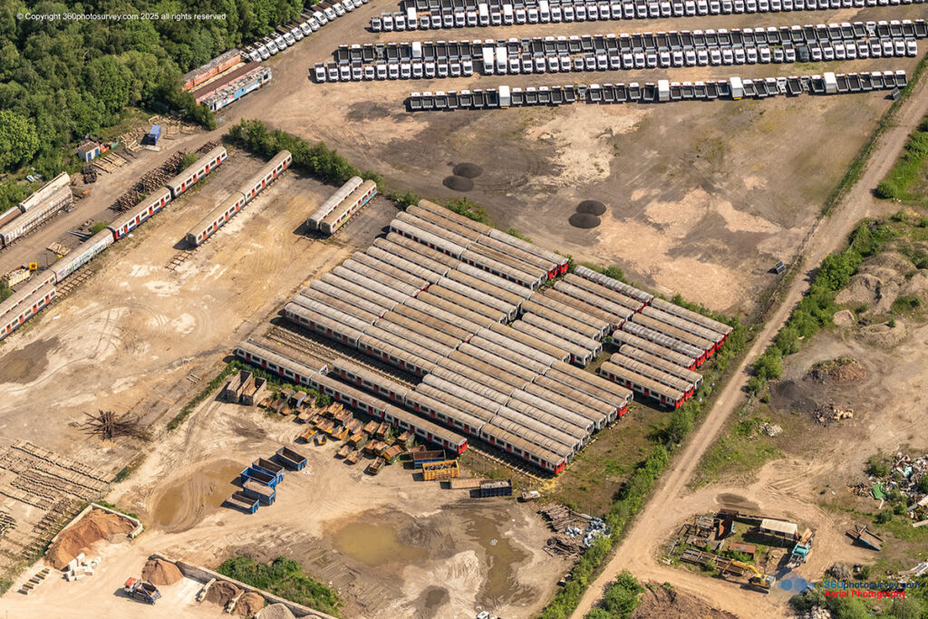
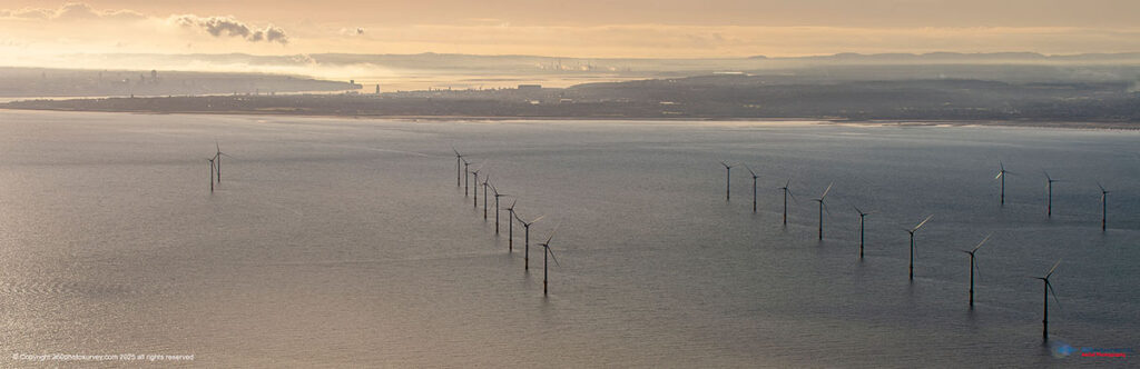
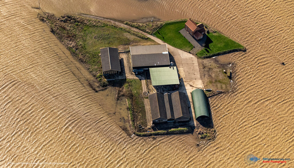
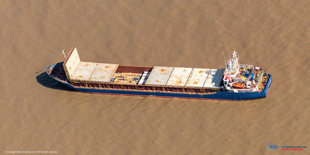
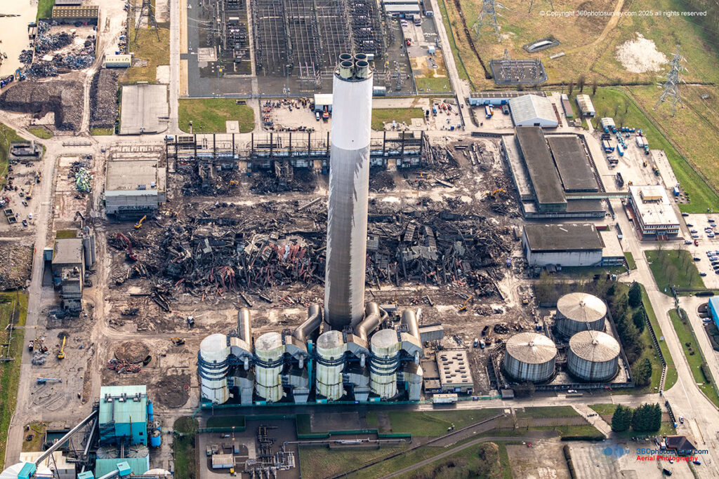
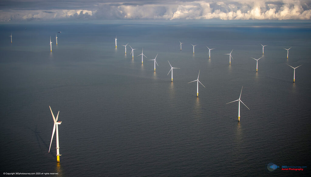
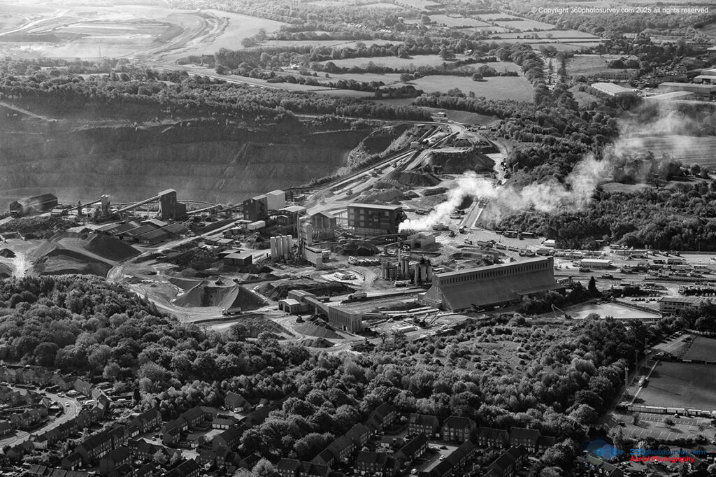
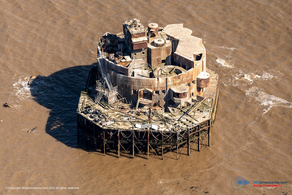
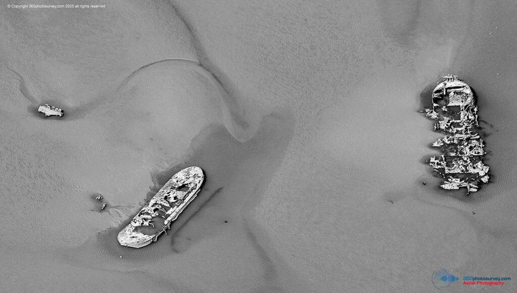
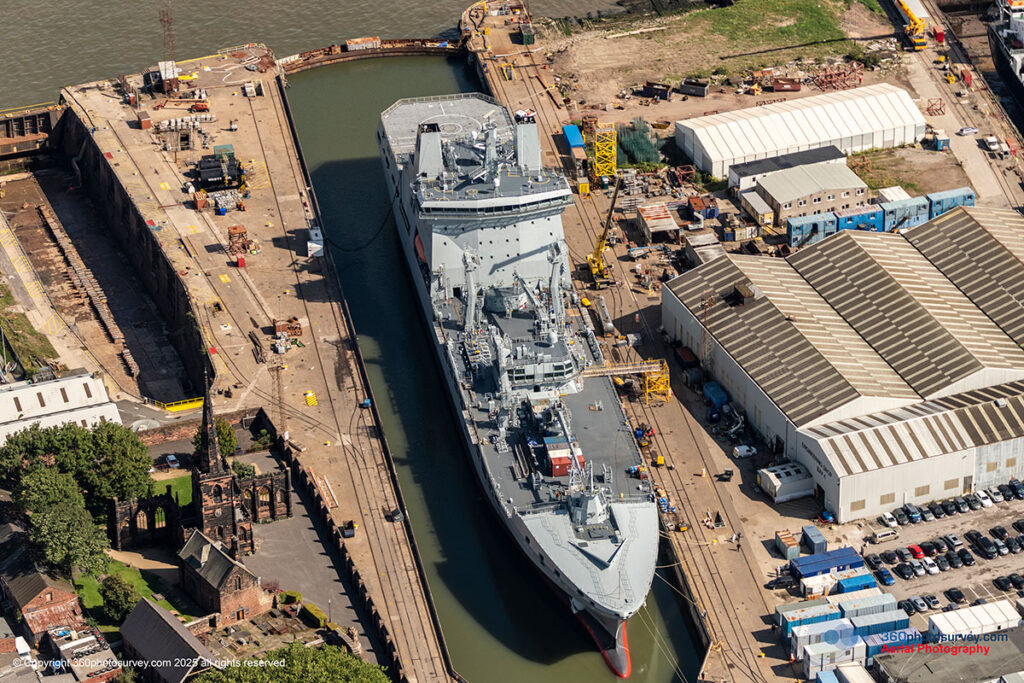
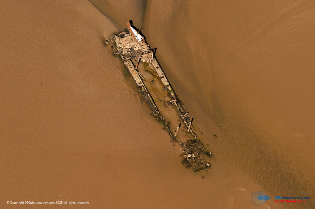
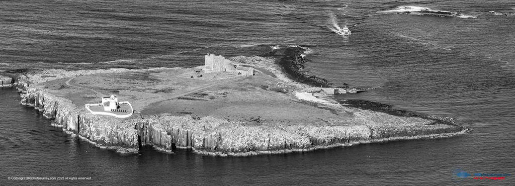
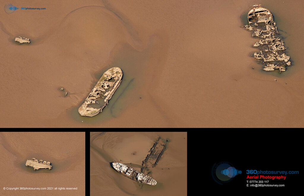
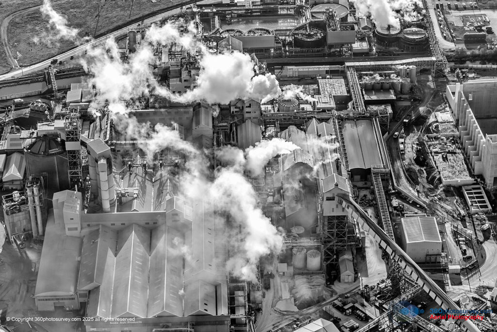
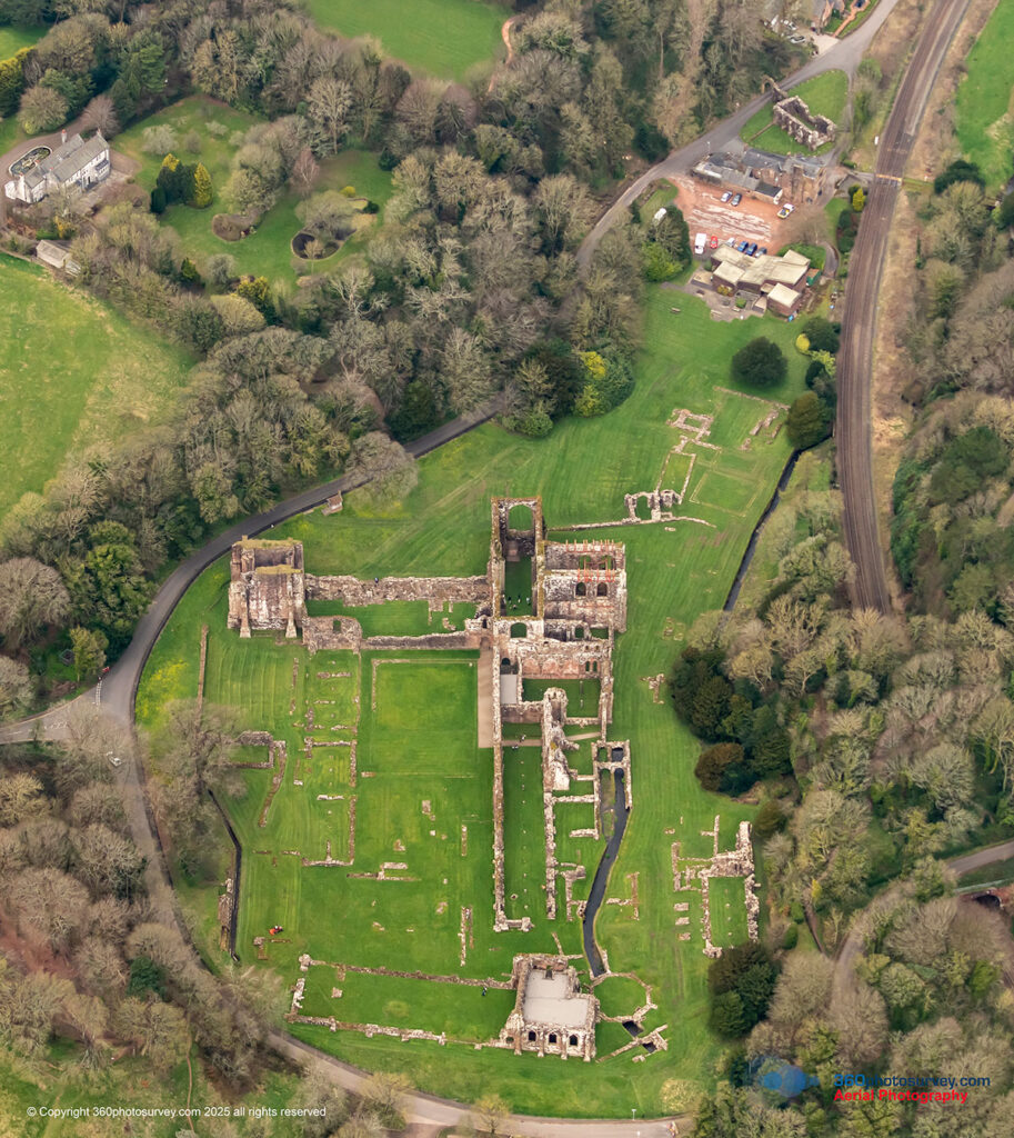
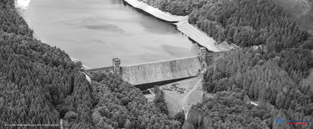
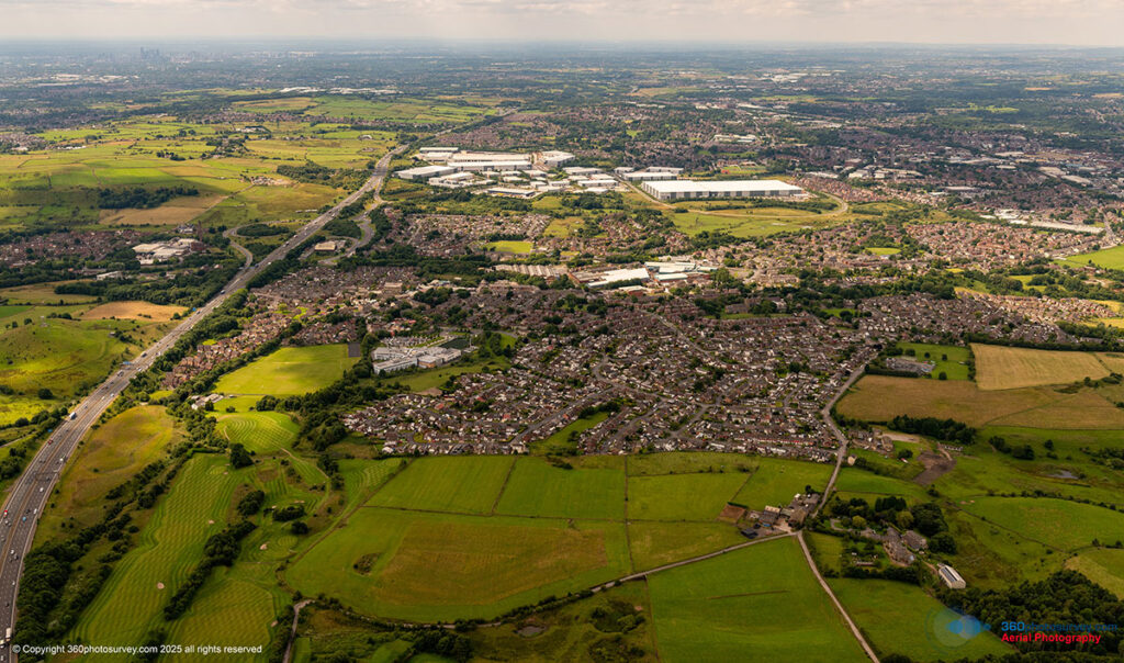
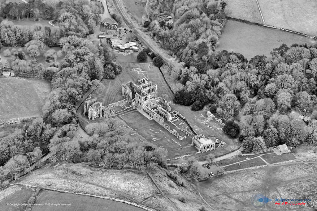
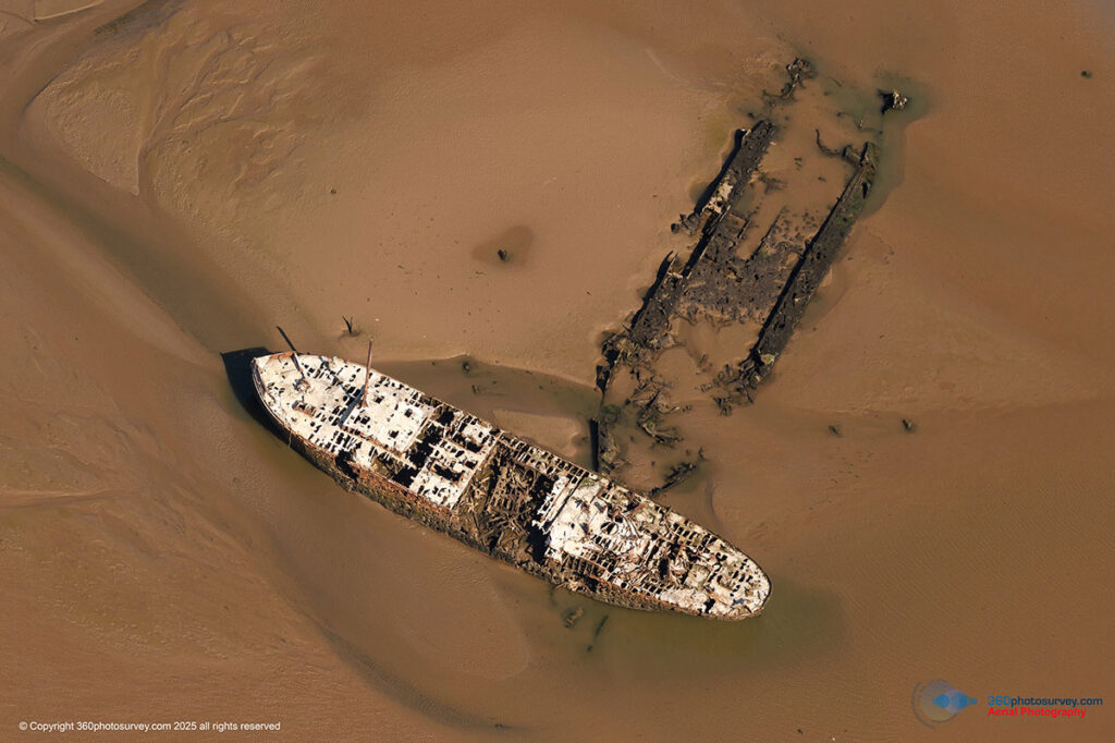
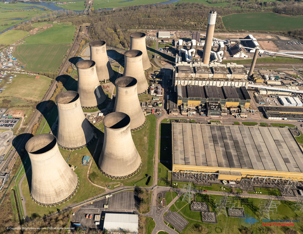
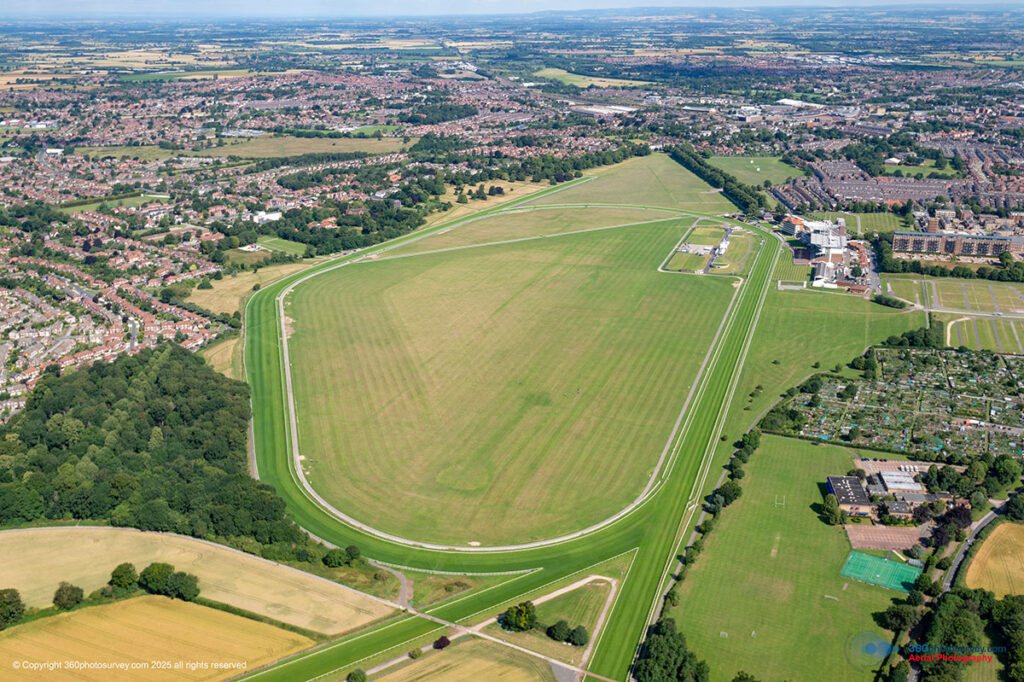
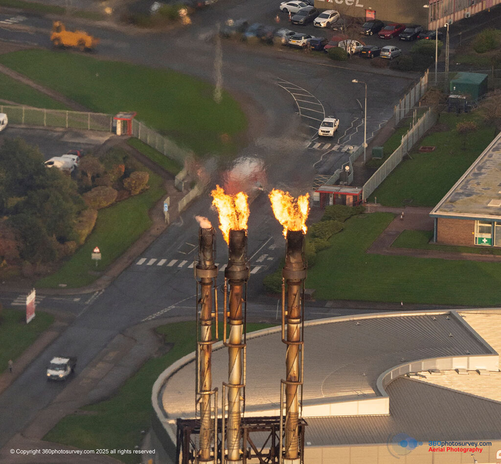
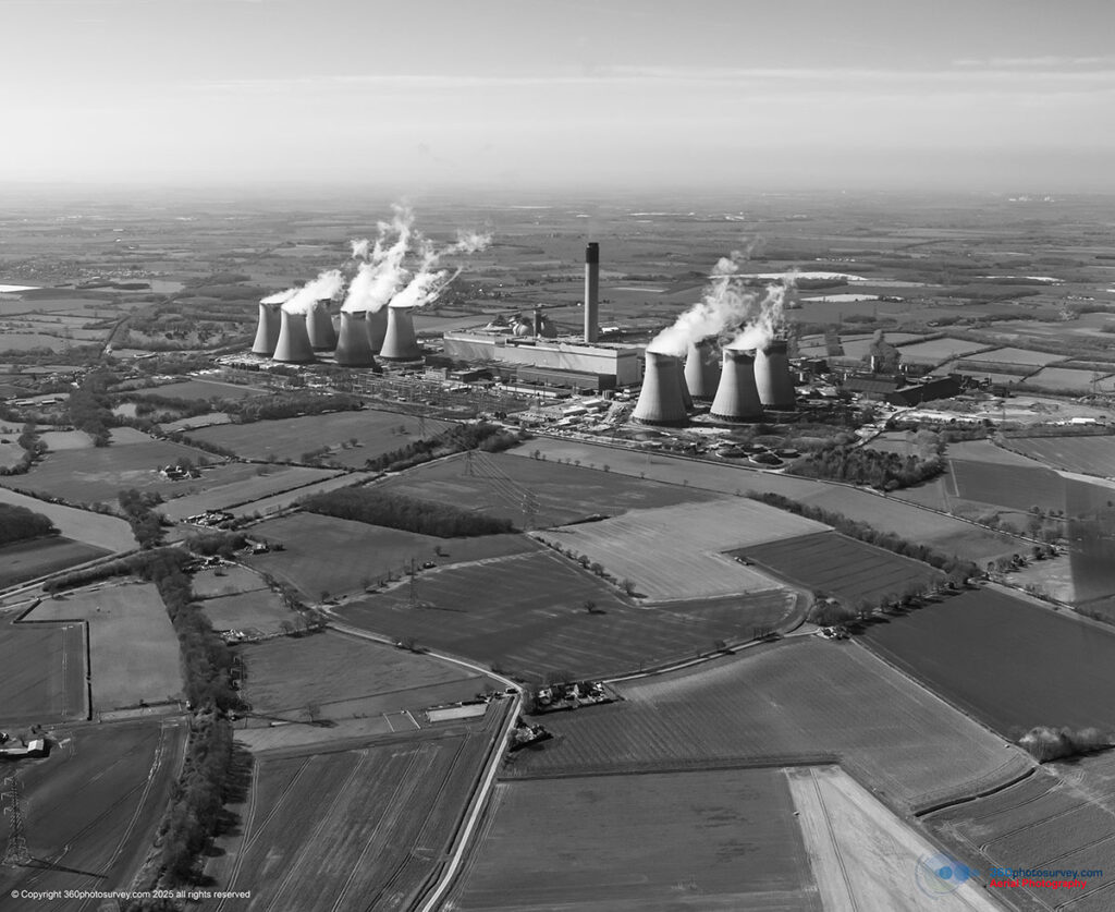
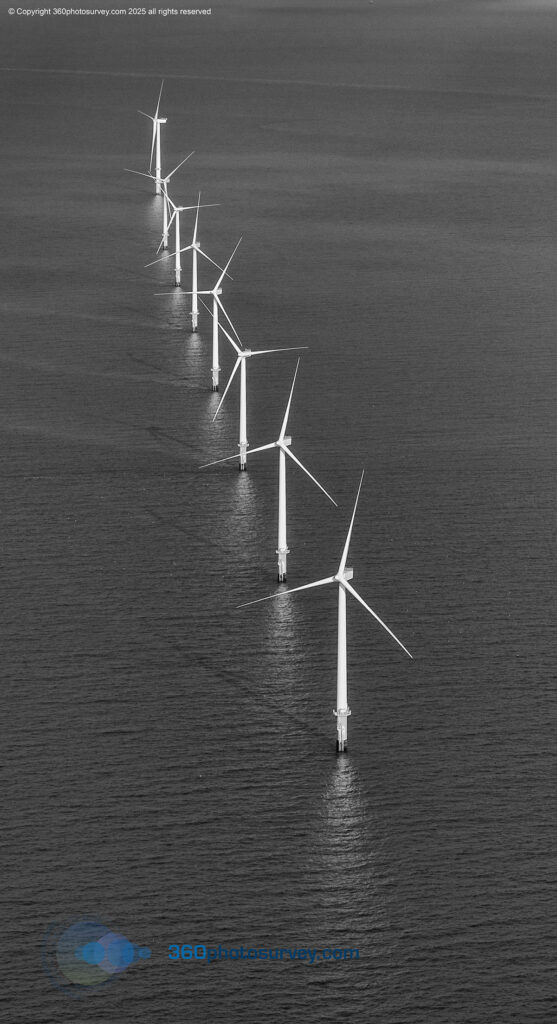
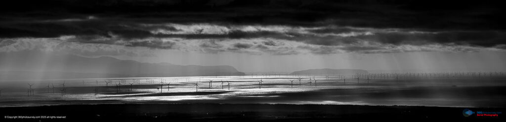
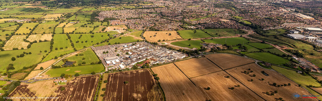
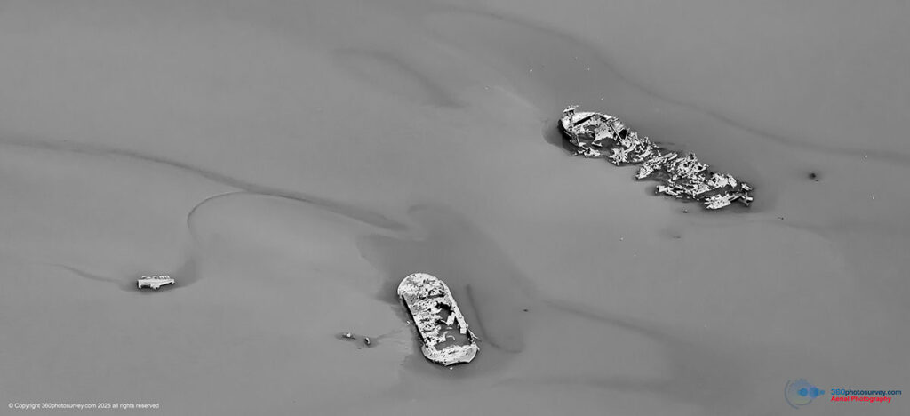
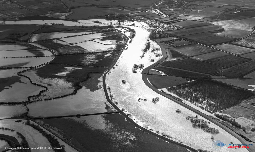
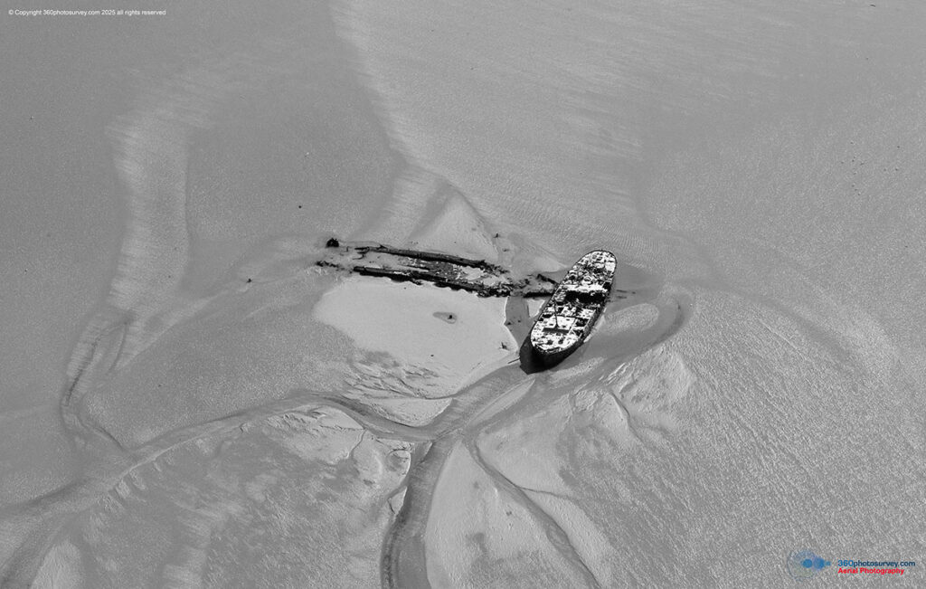
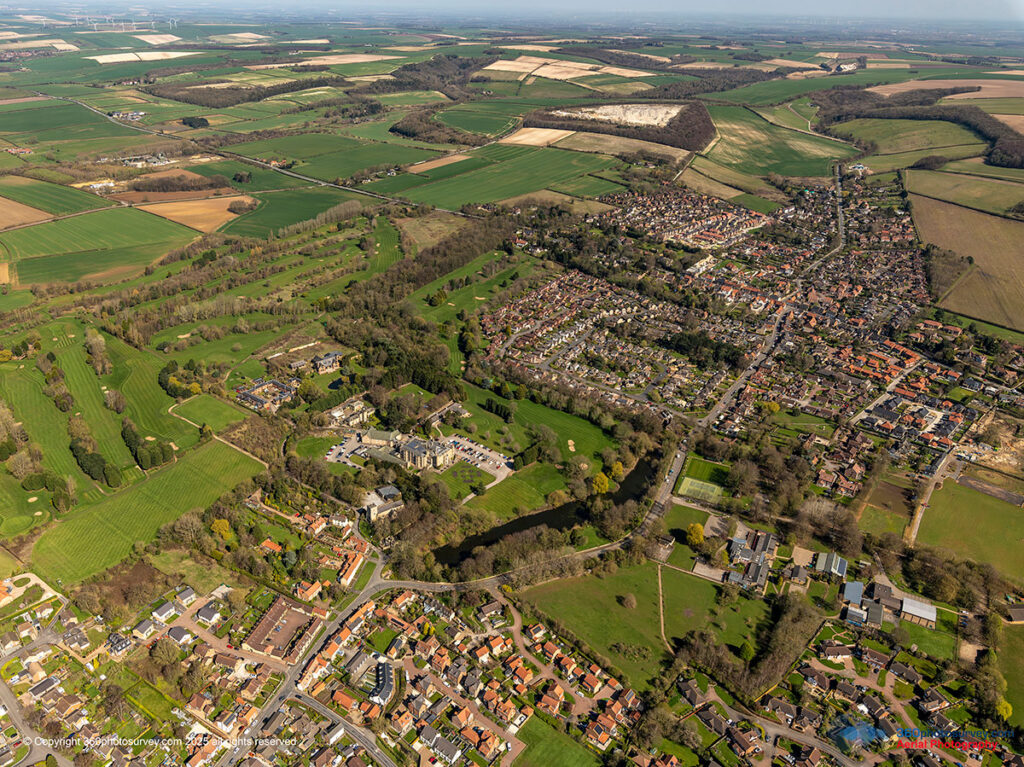
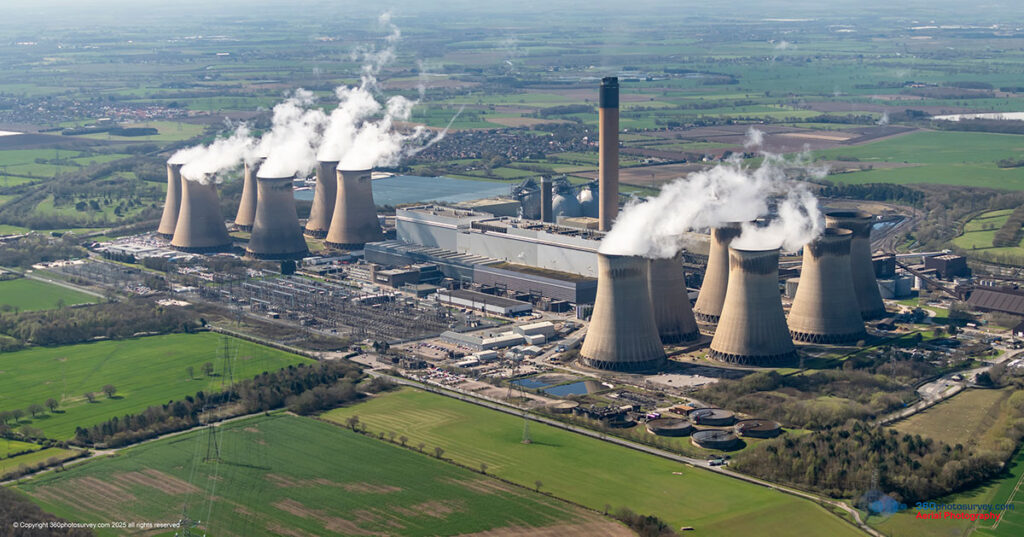
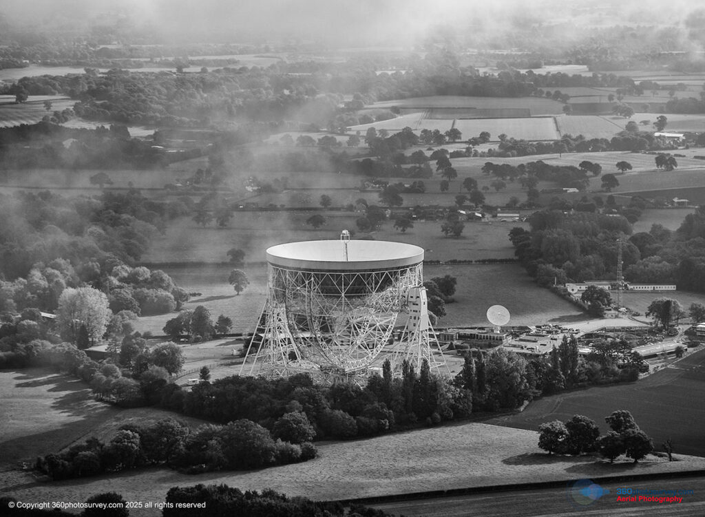
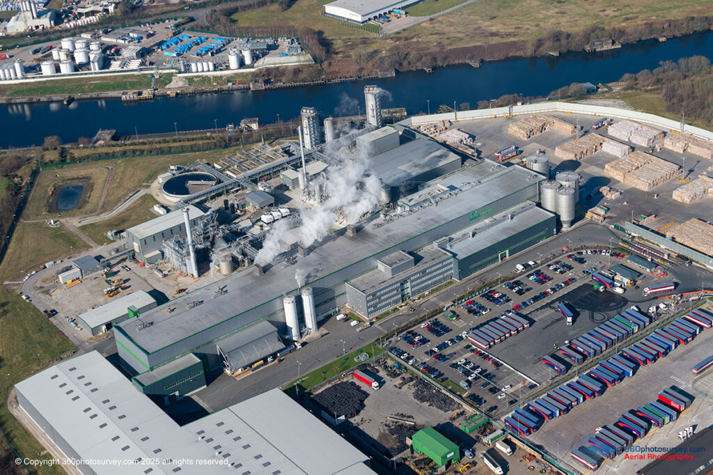
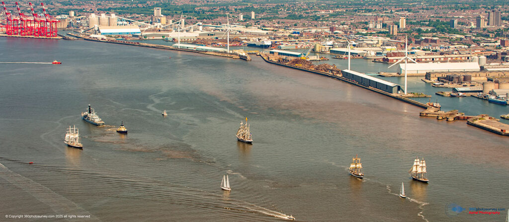
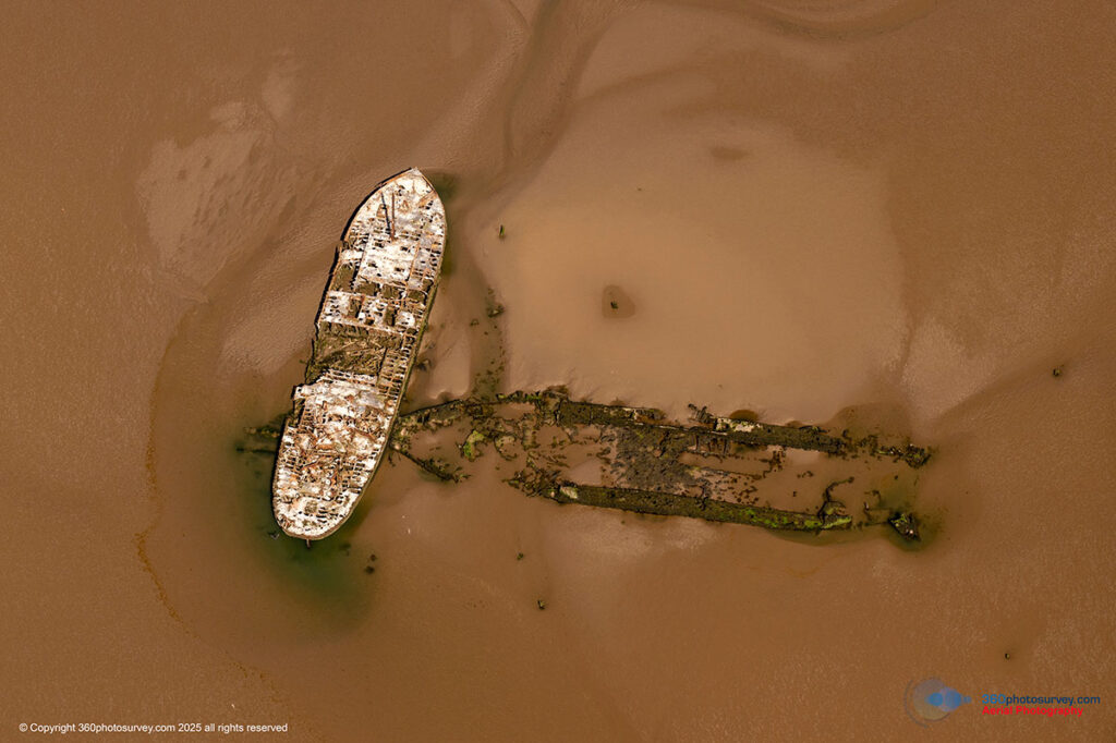
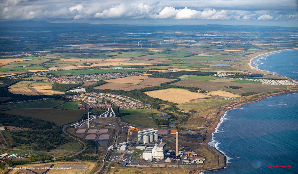
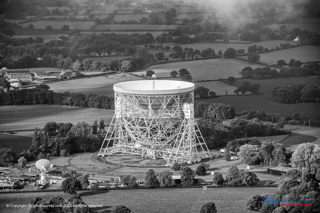
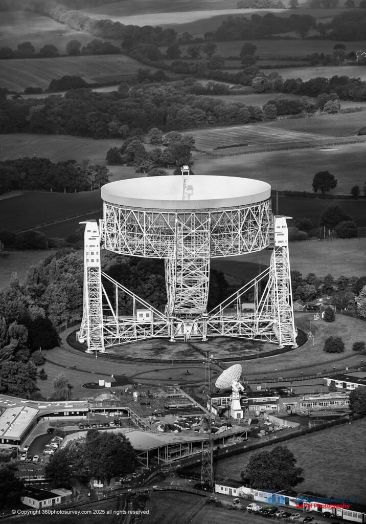
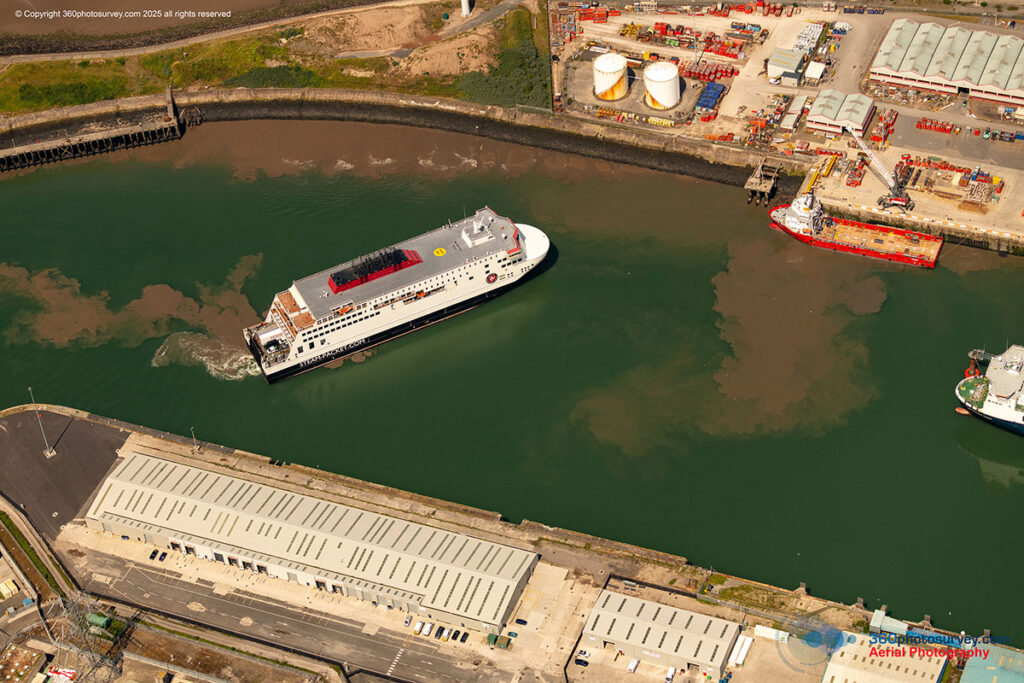
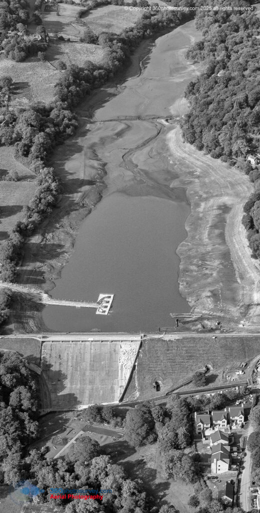
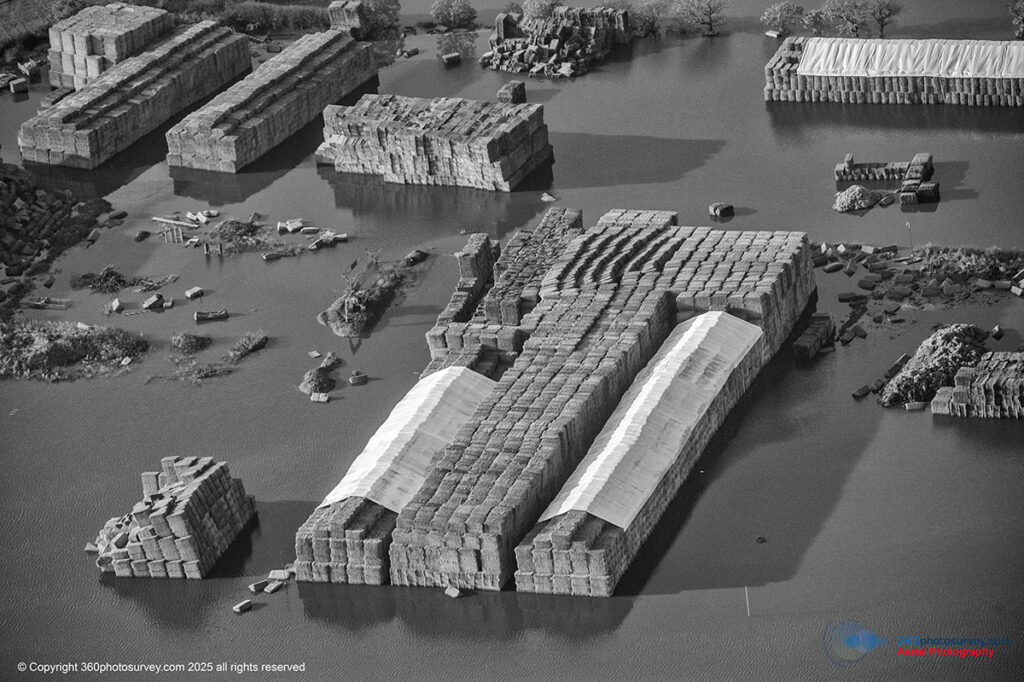
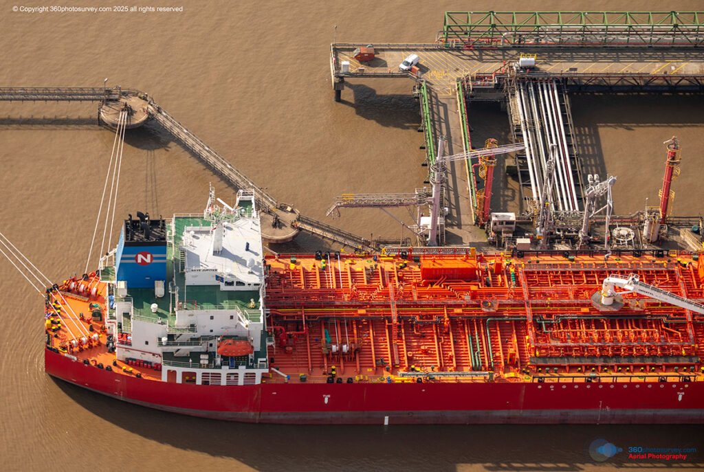
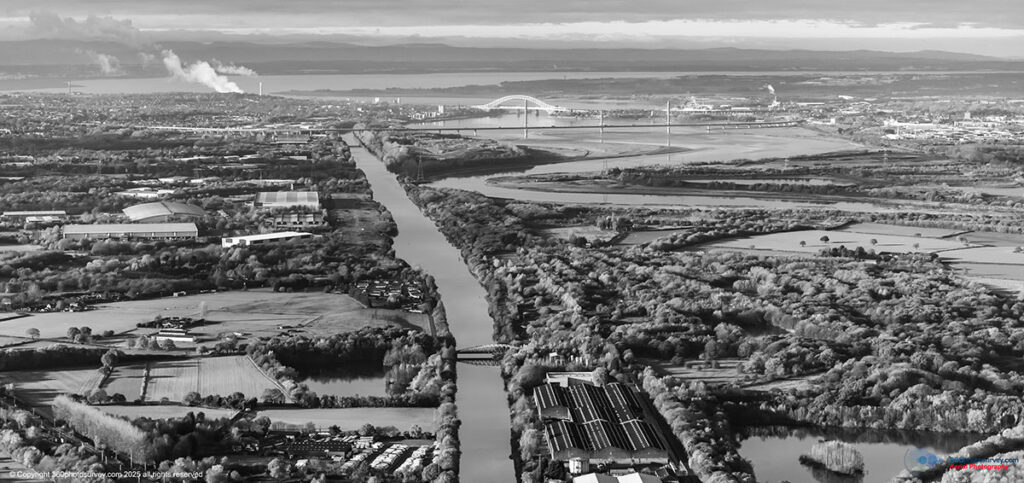
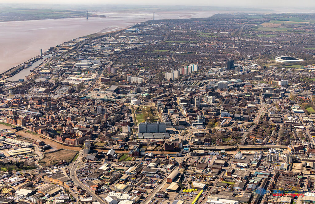
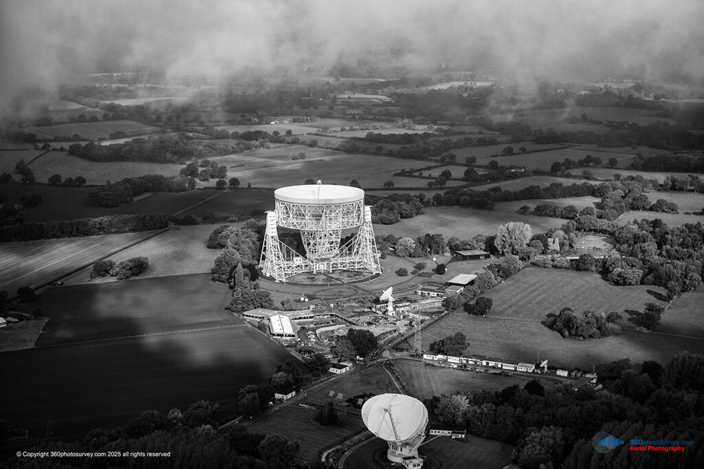
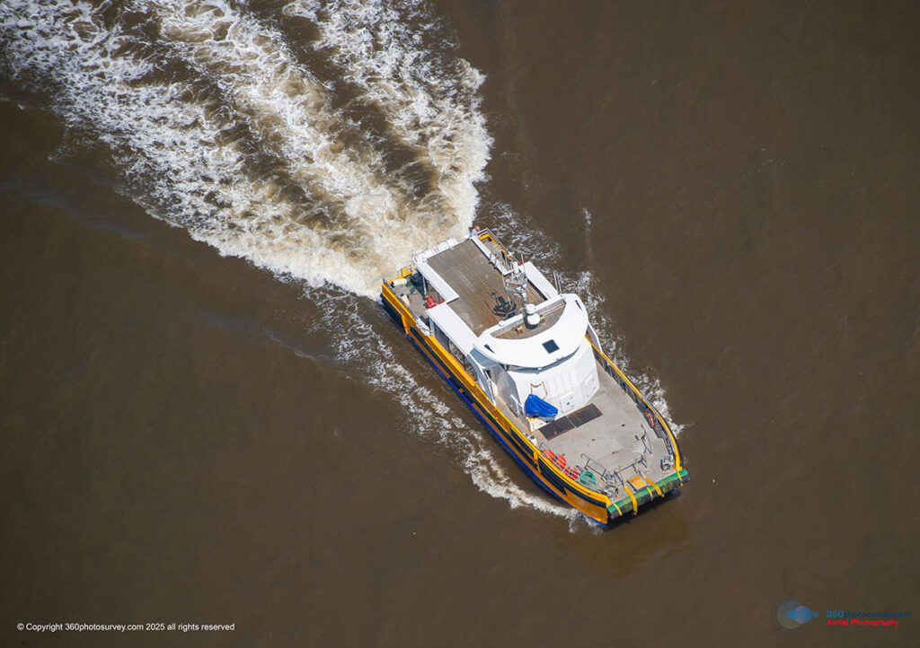
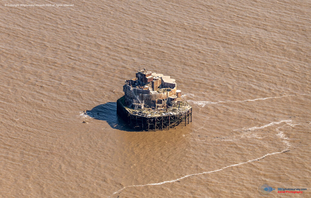
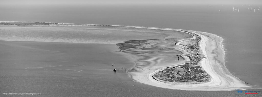
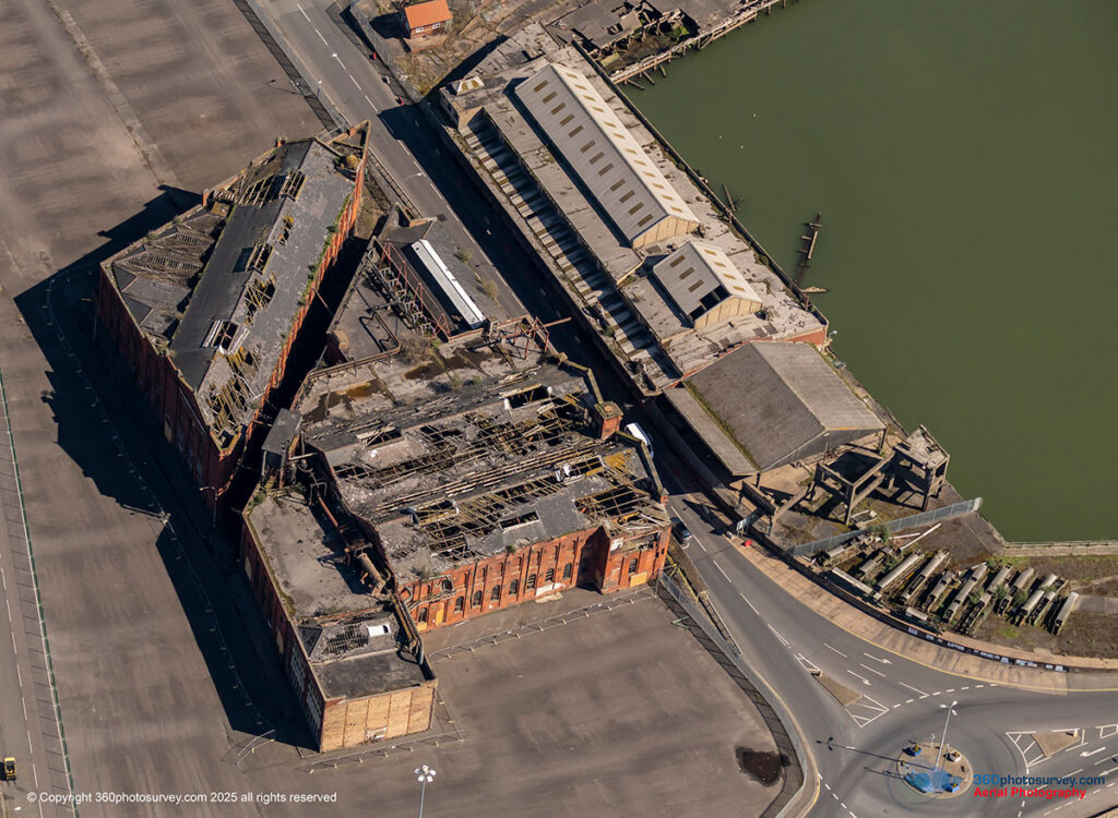
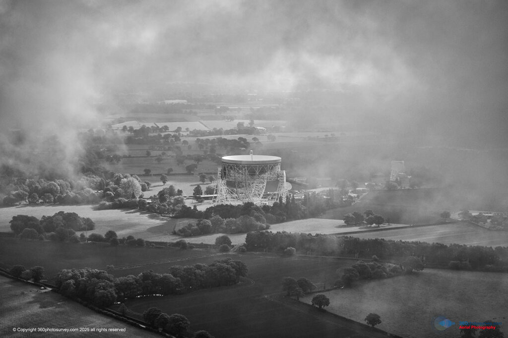
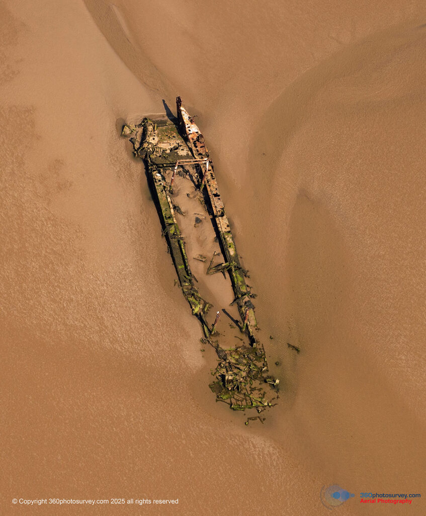
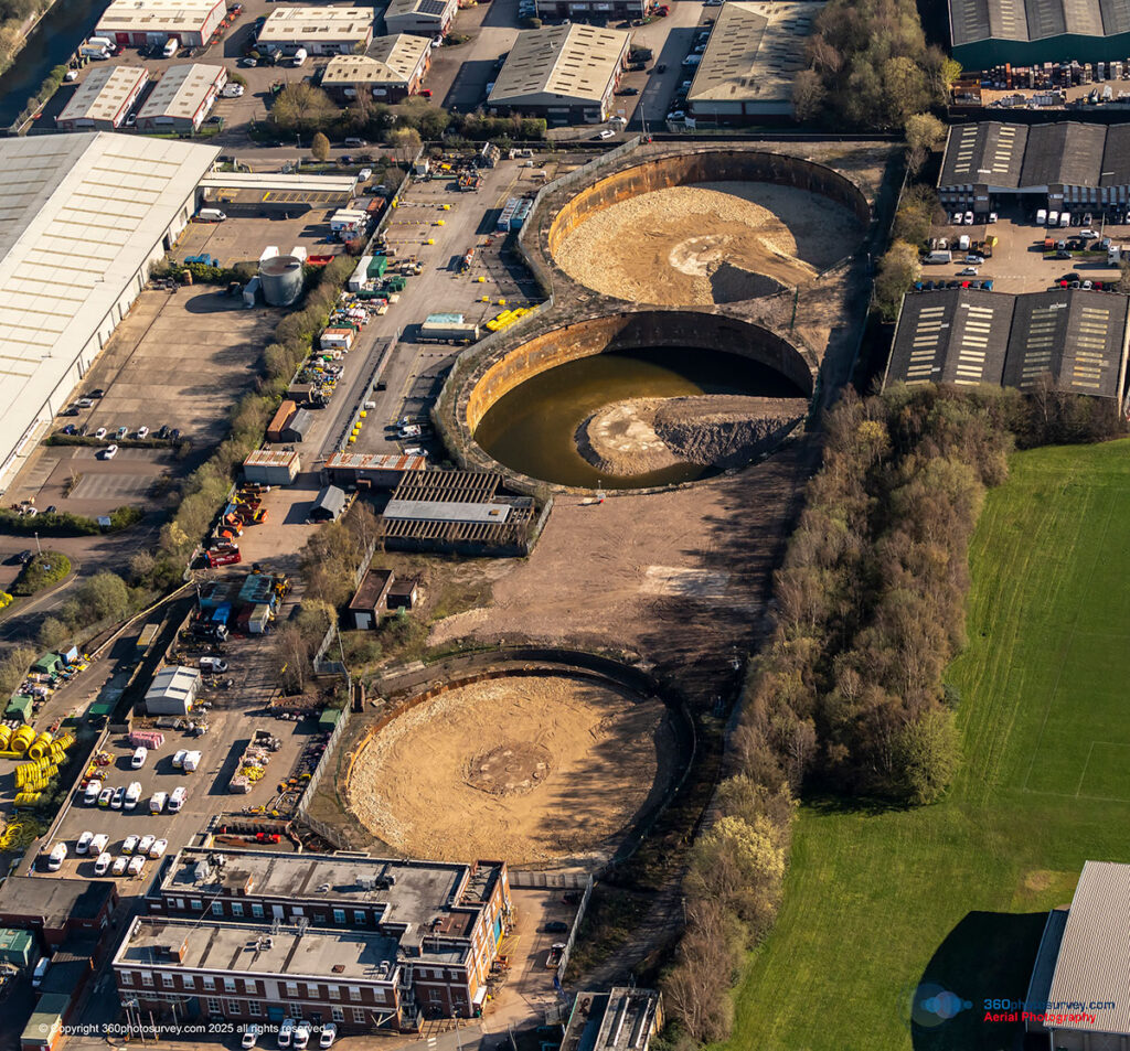
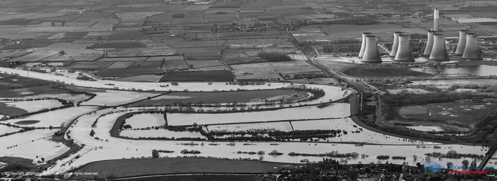
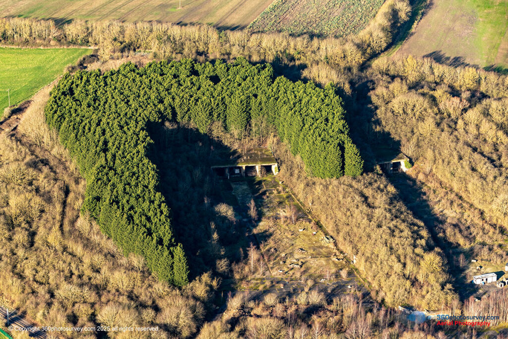
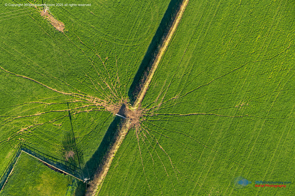
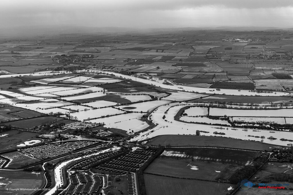
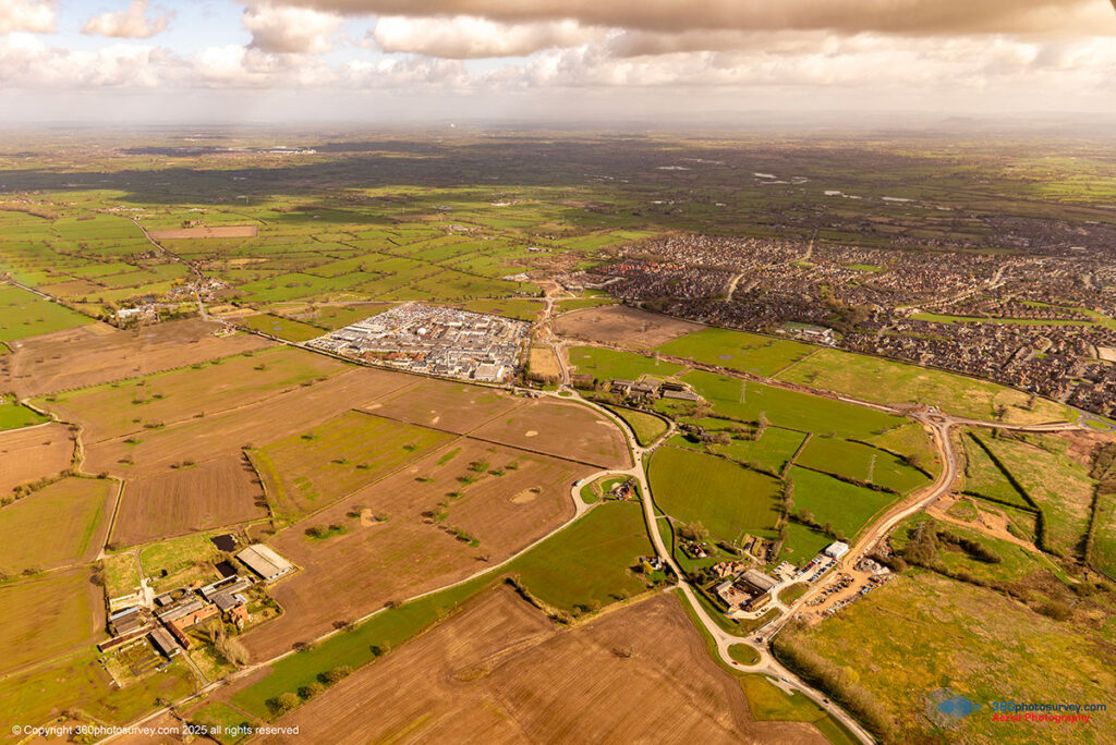
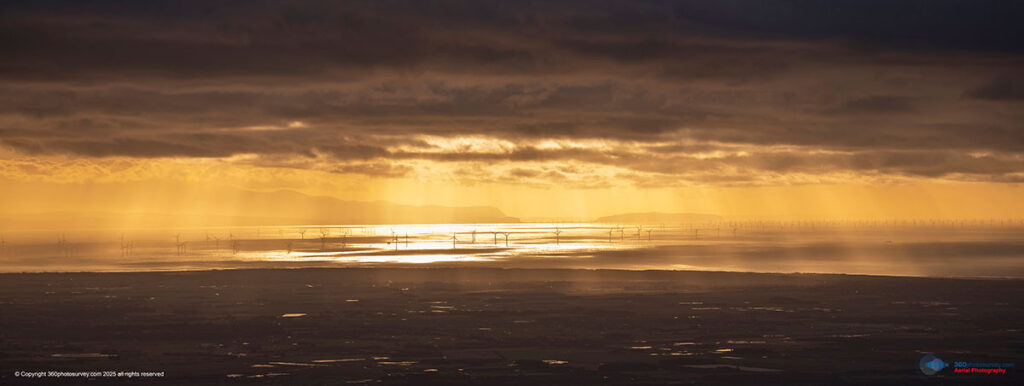
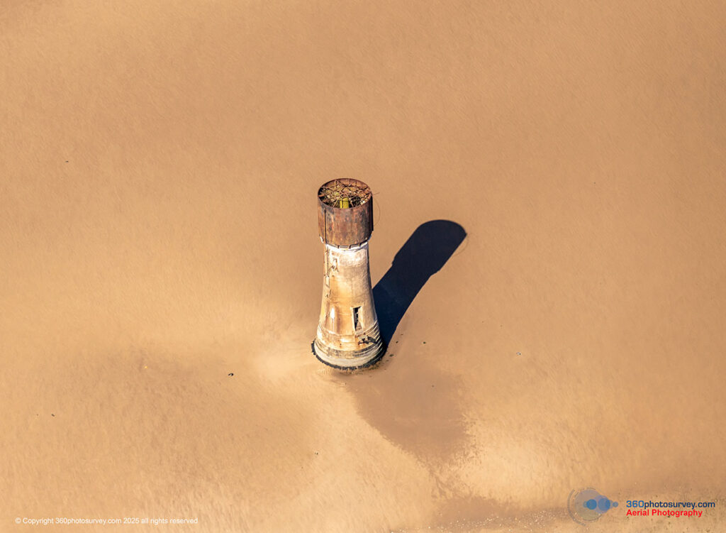
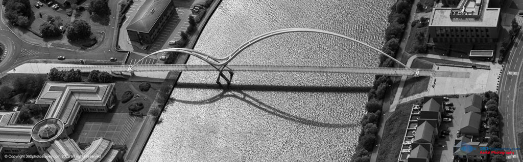
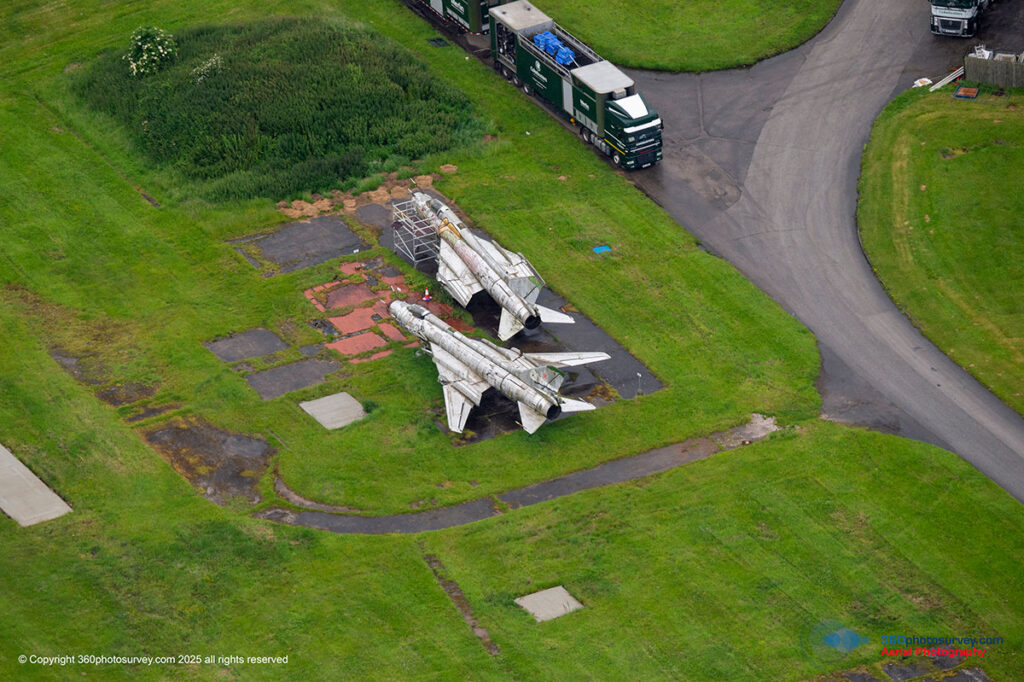
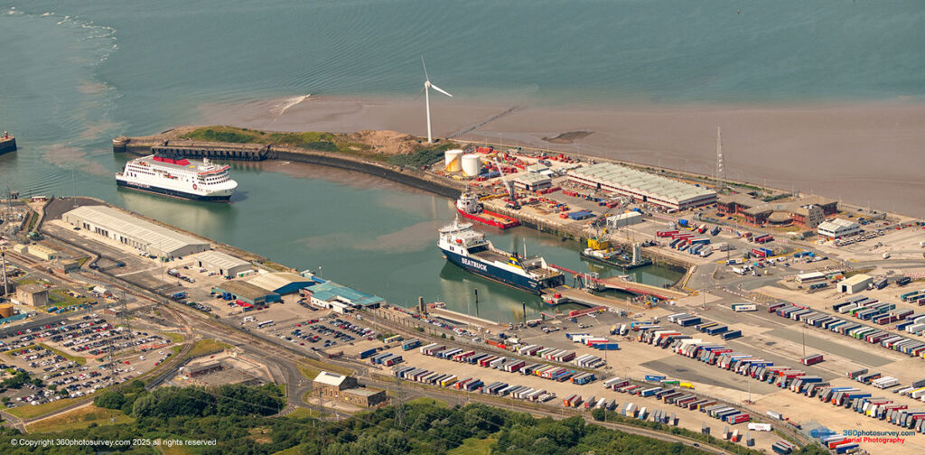
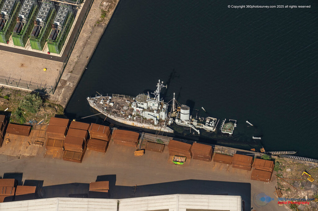
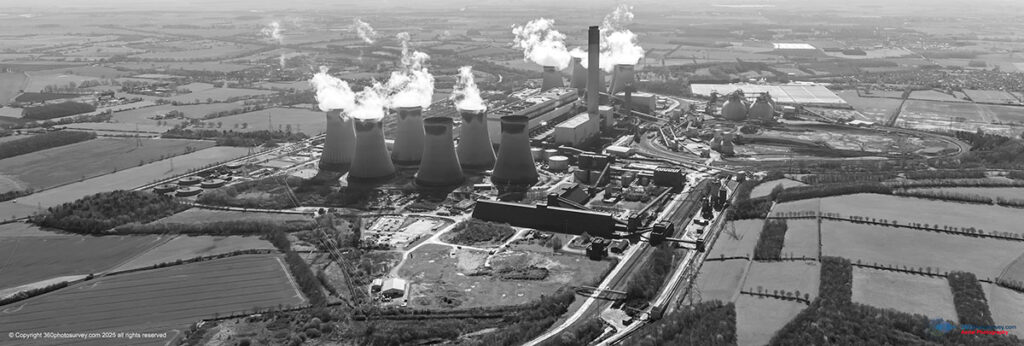
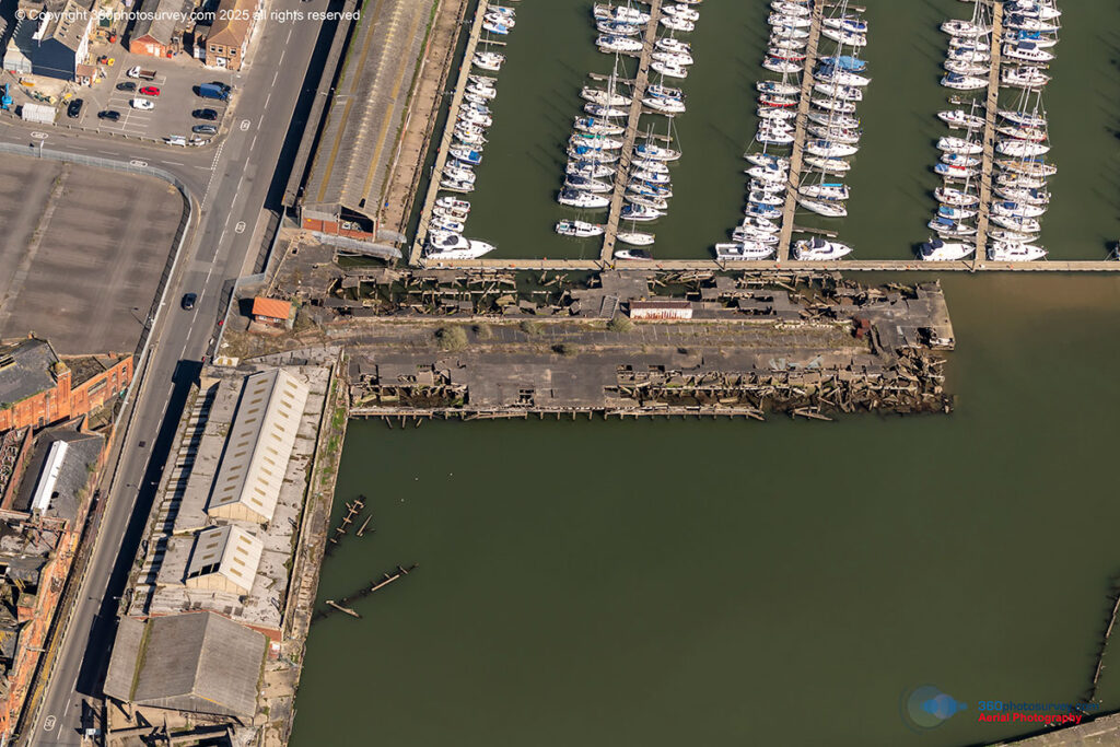
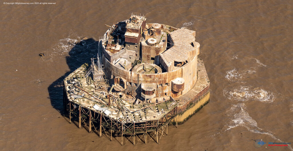
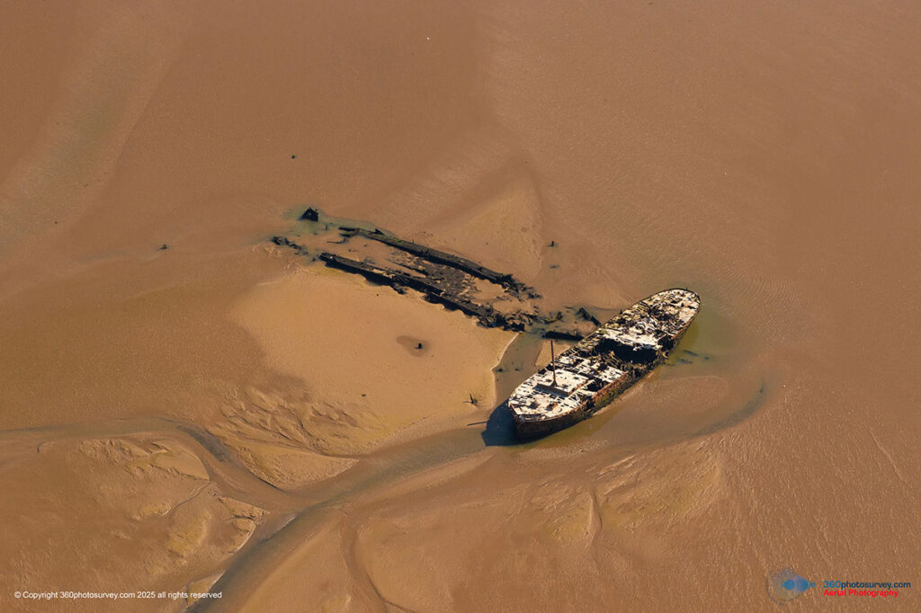
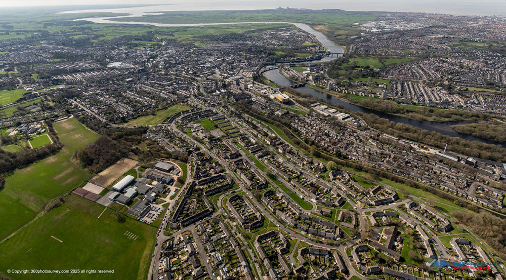
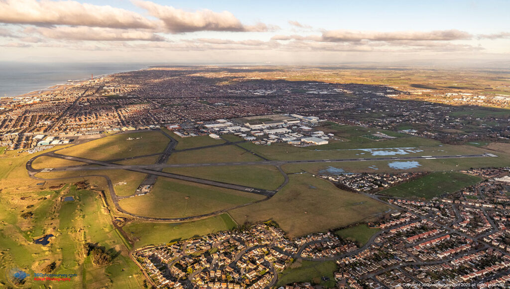
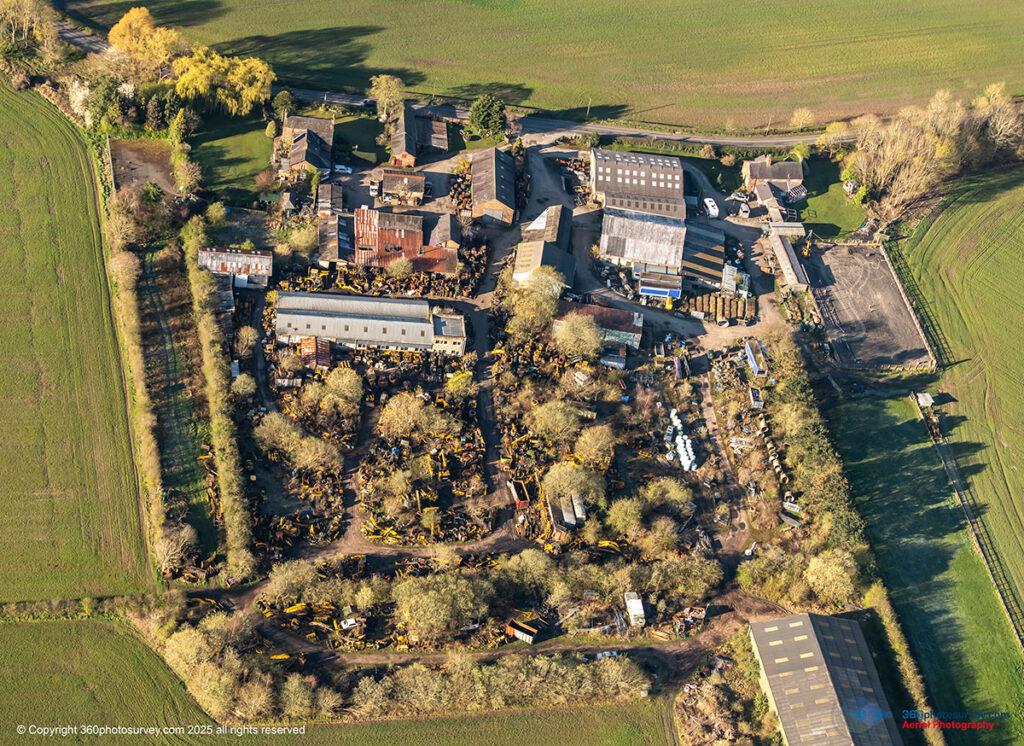
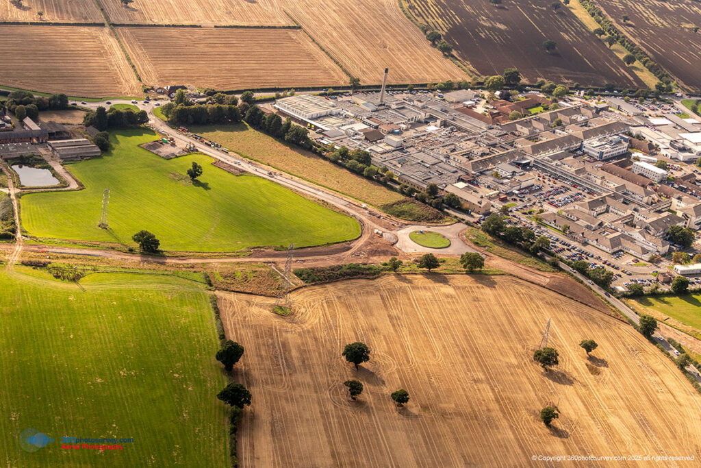
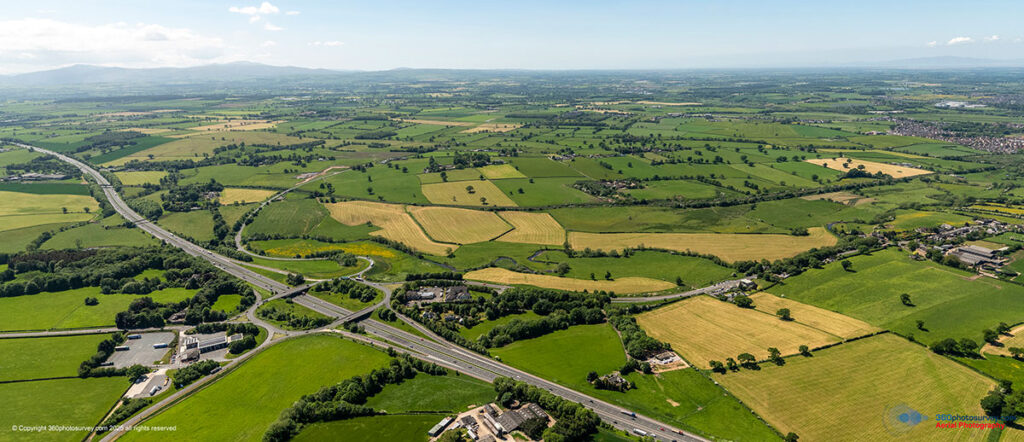
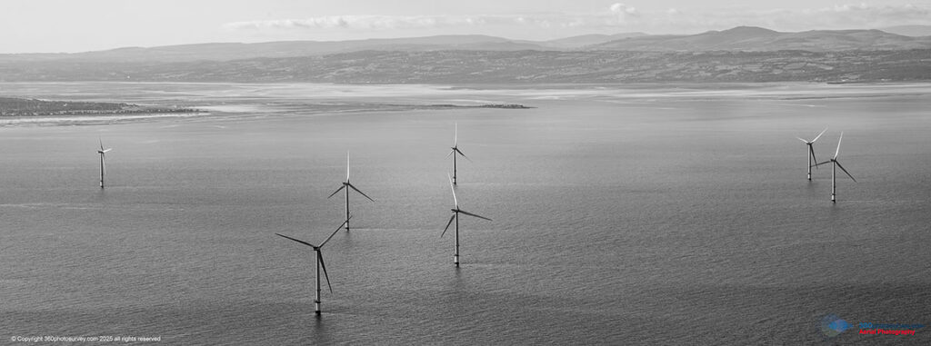
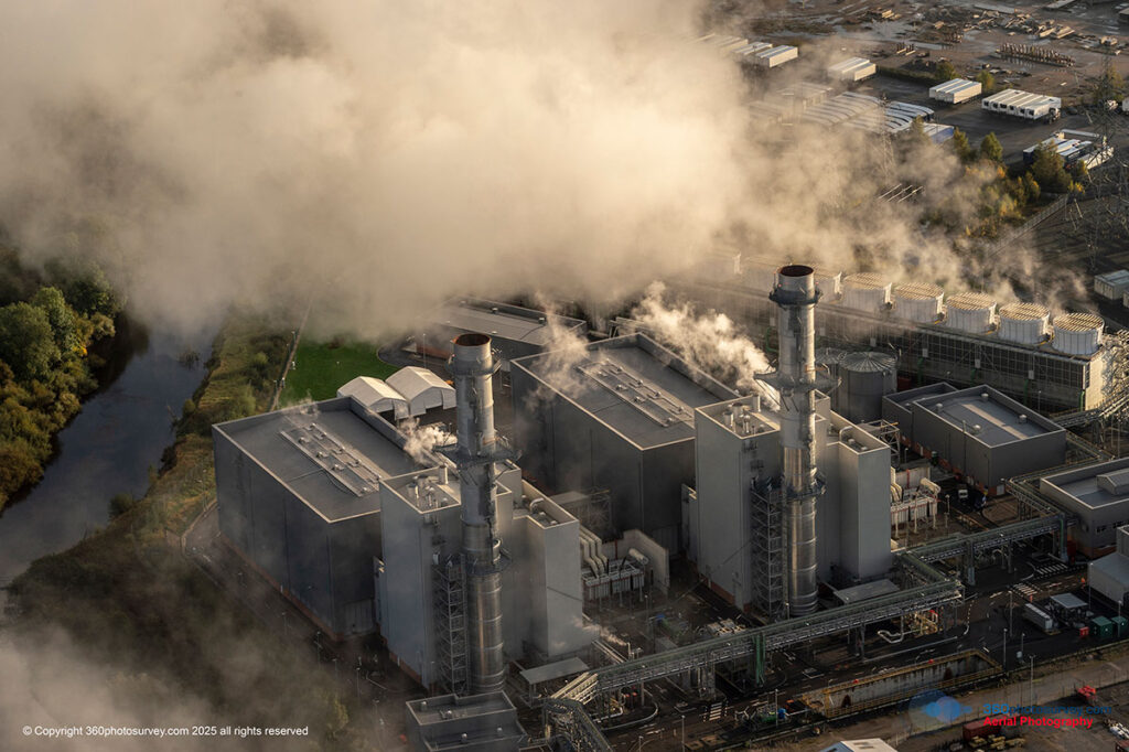
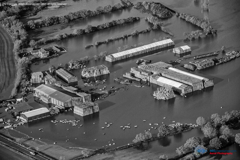
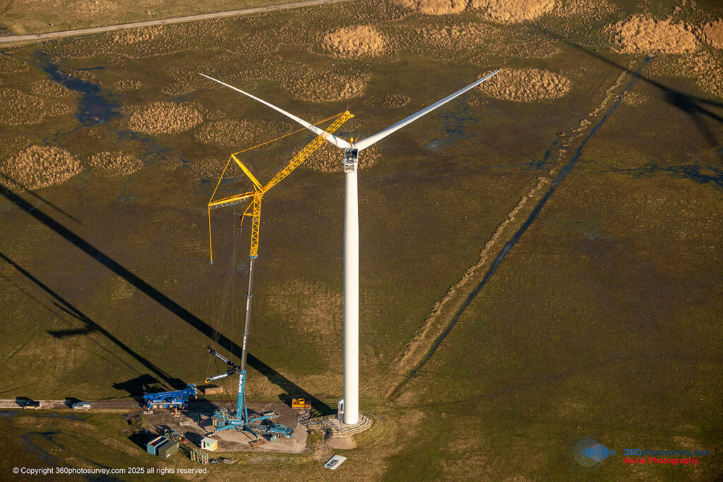
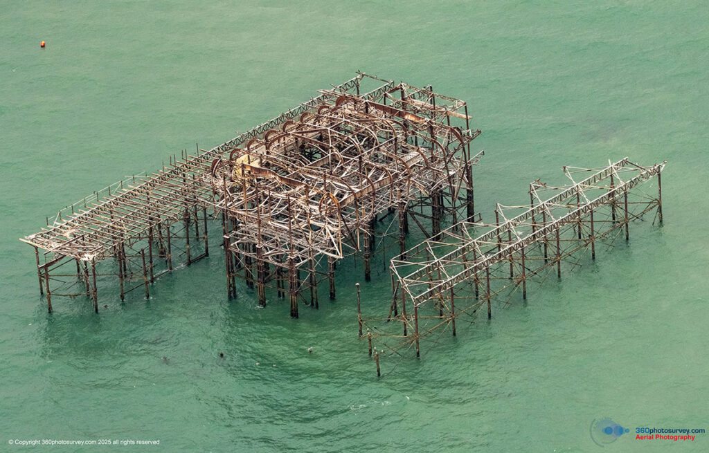
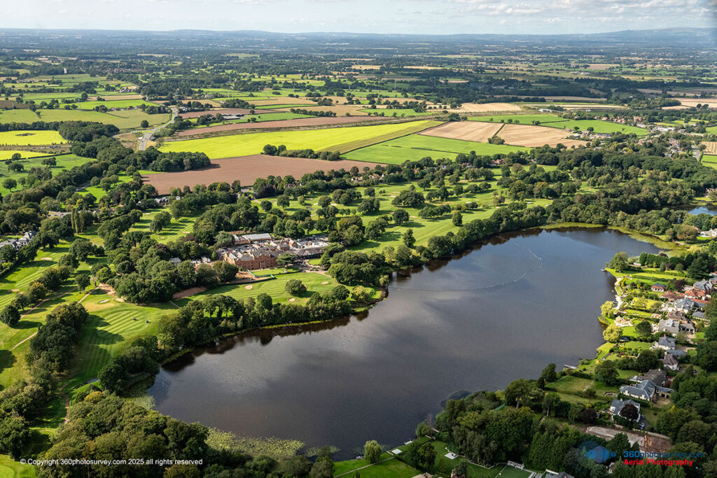
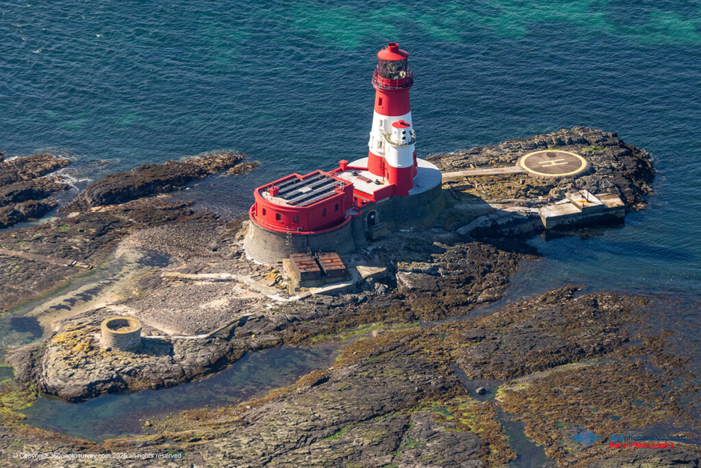
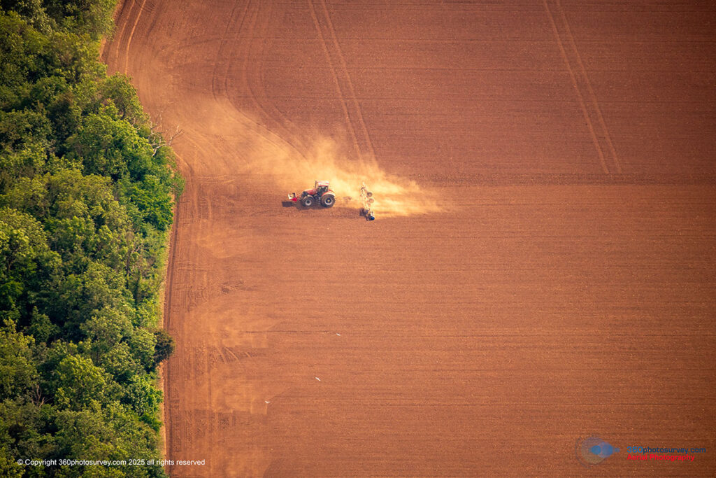
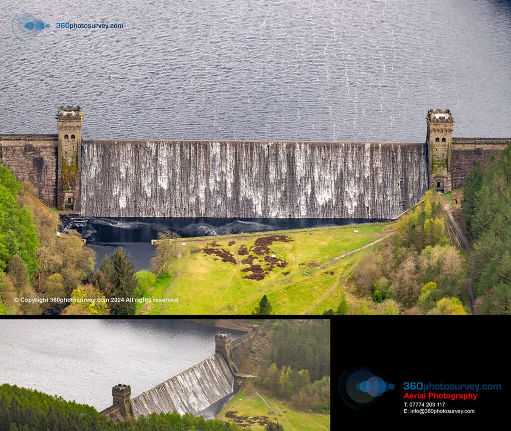
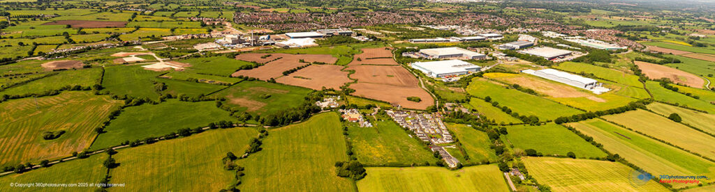
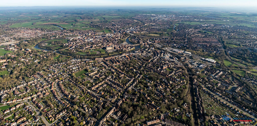
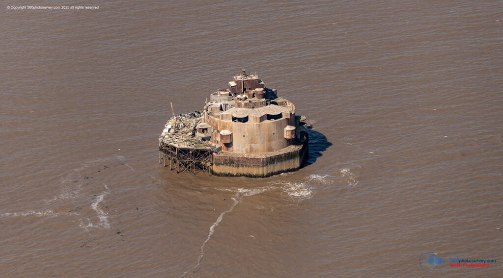
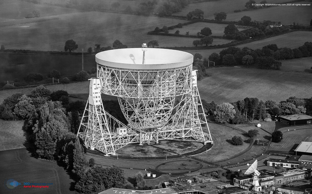
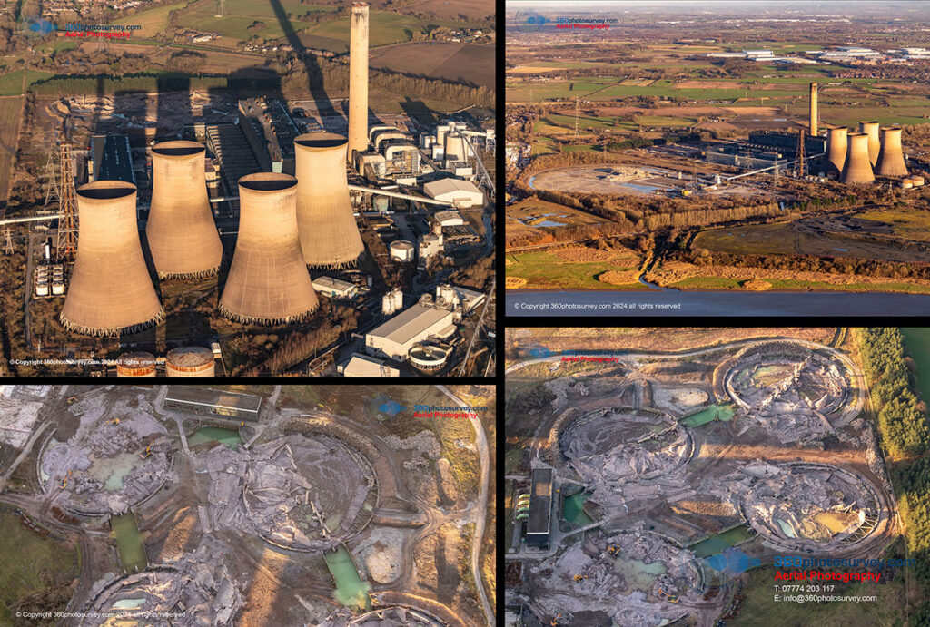
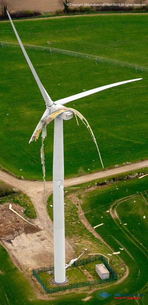
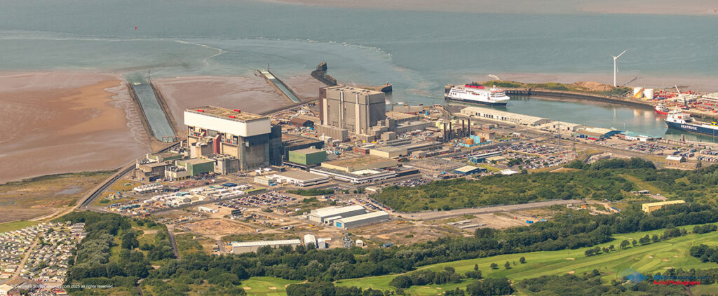
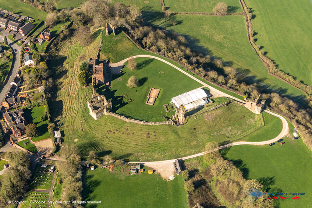
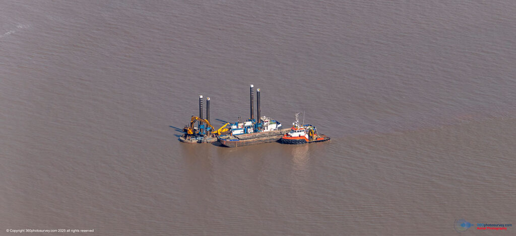
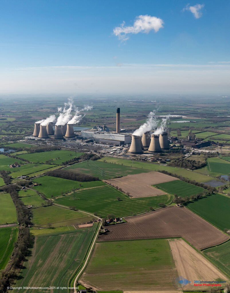
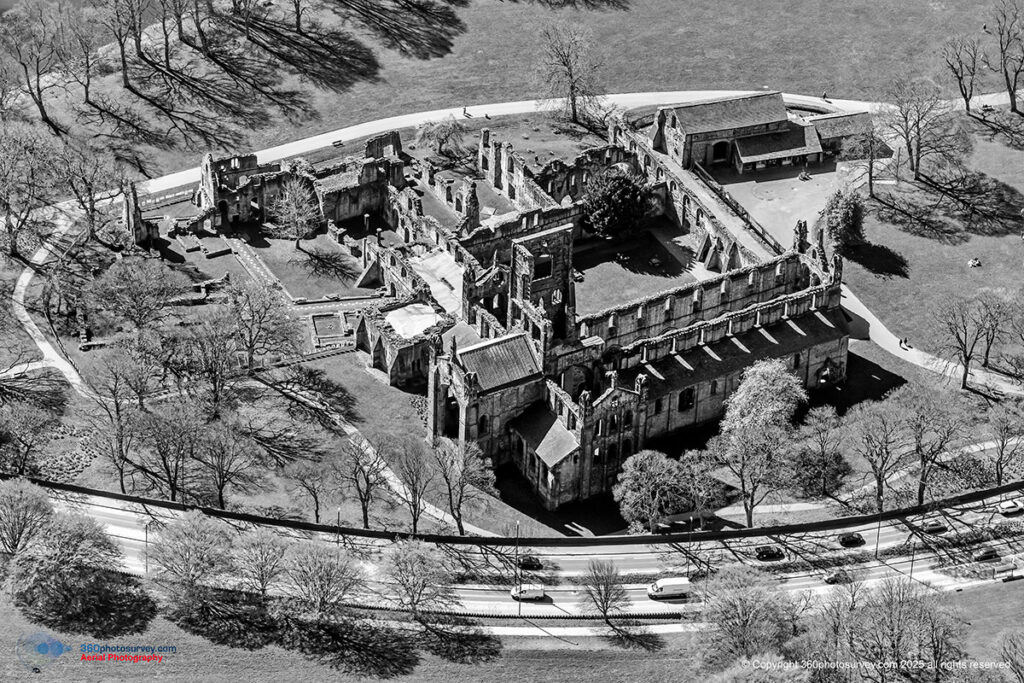
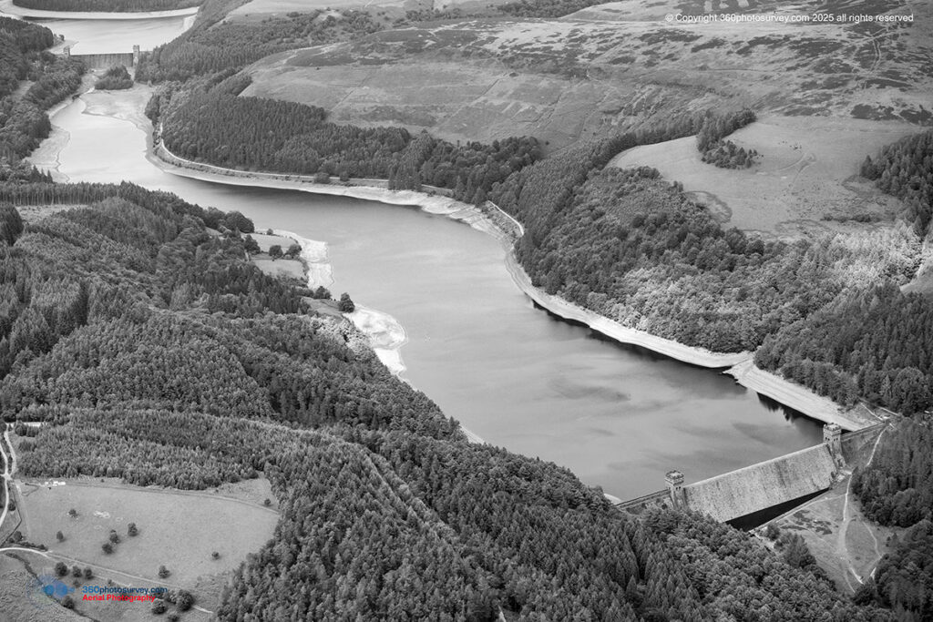
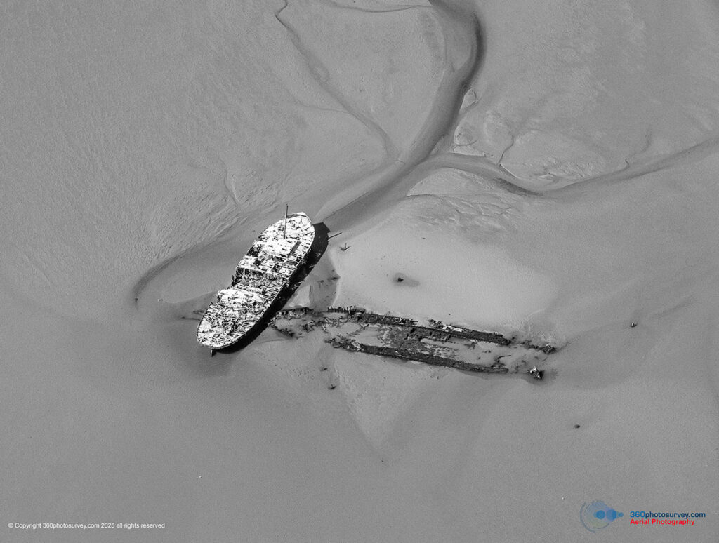
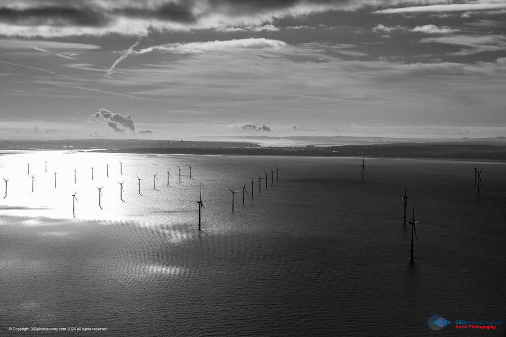
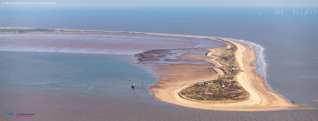
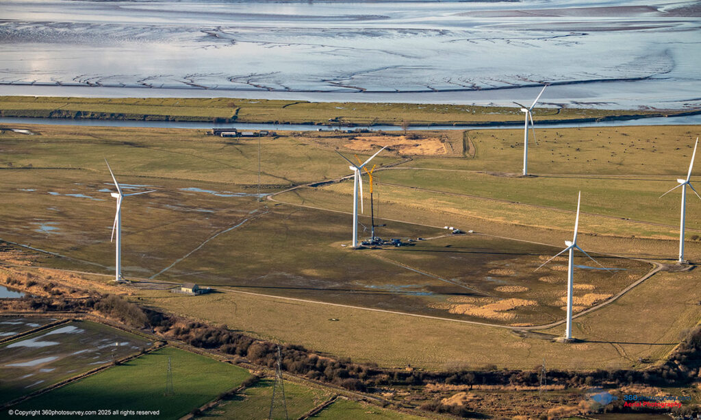
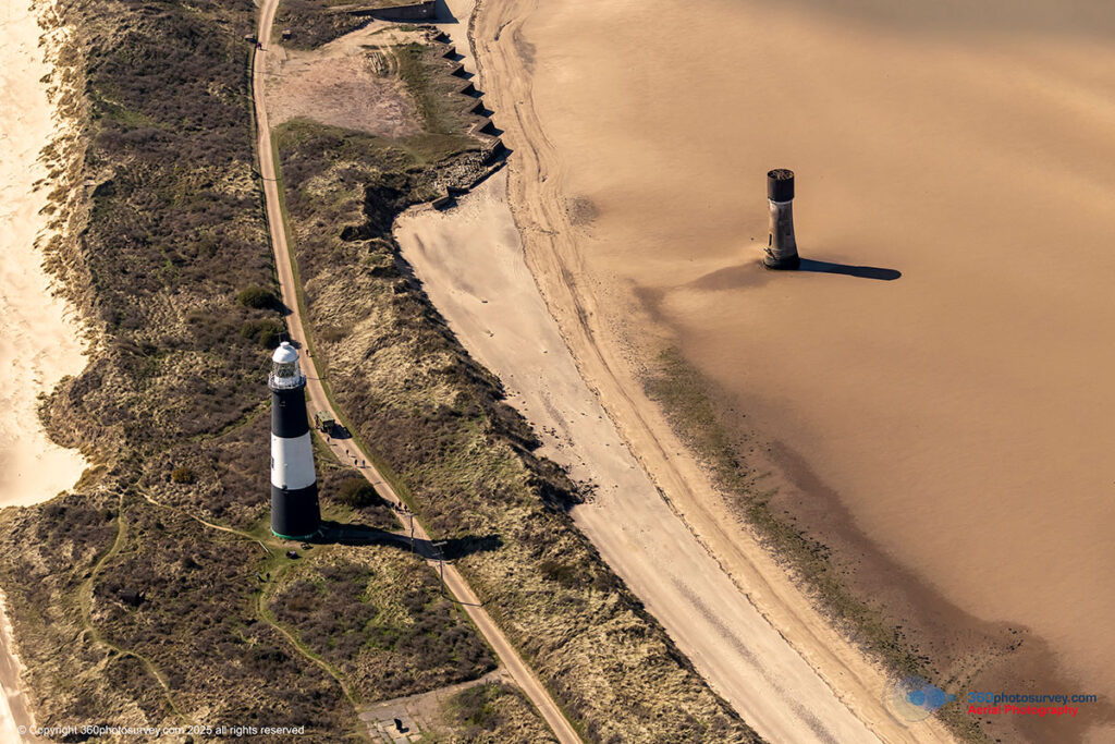
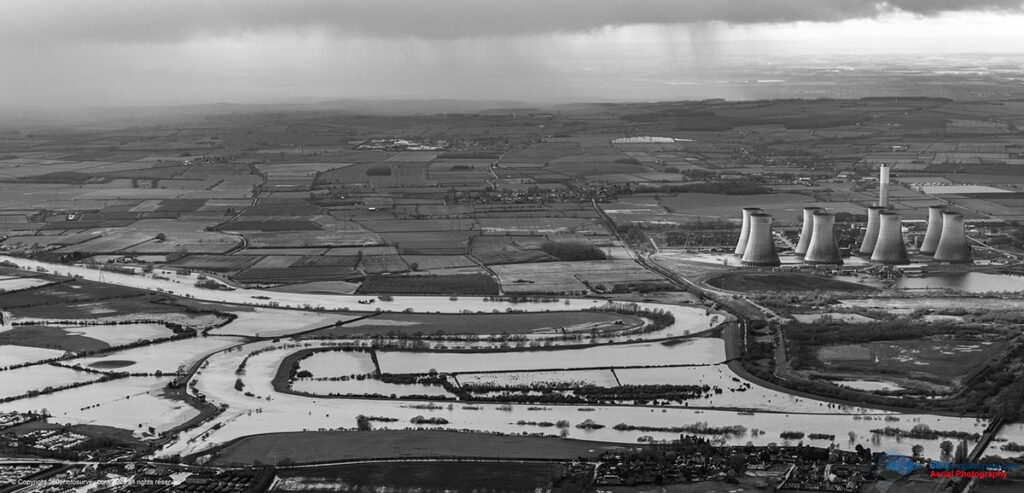
Environmental Monitoring
- Coastal Erosion
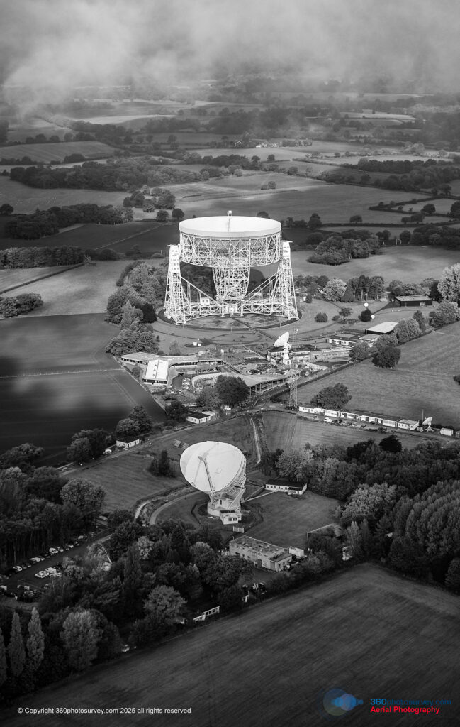
- Forestry
- Land development


Our unique approach means:
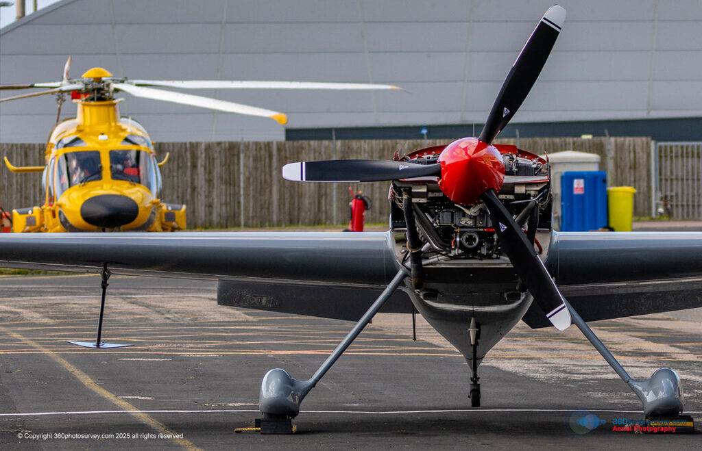
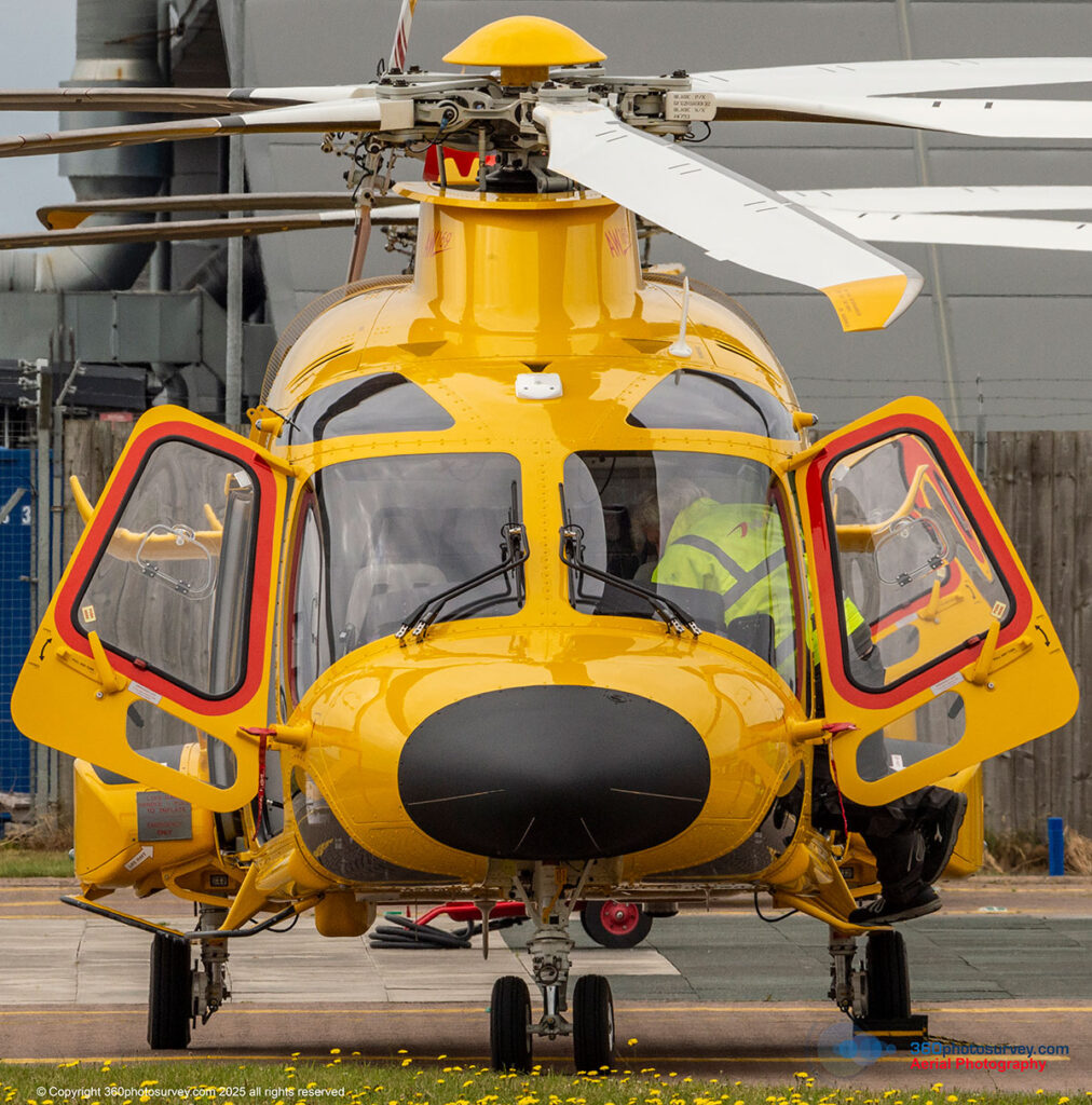
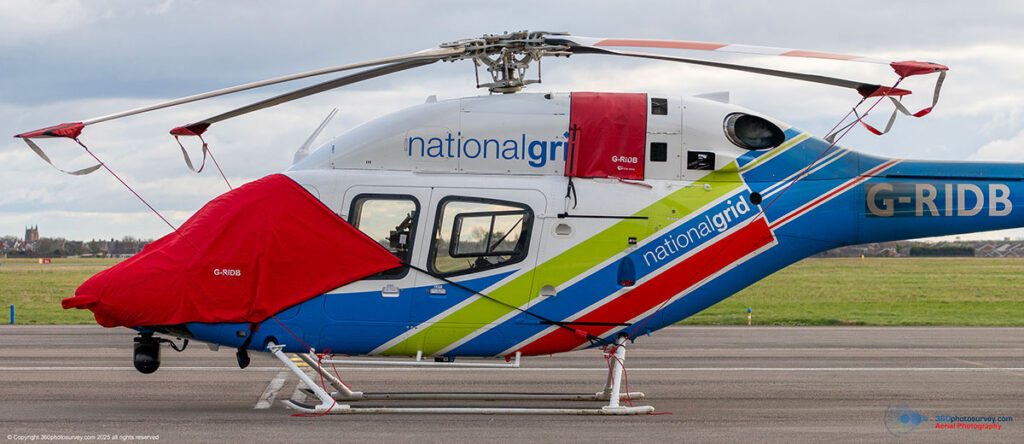
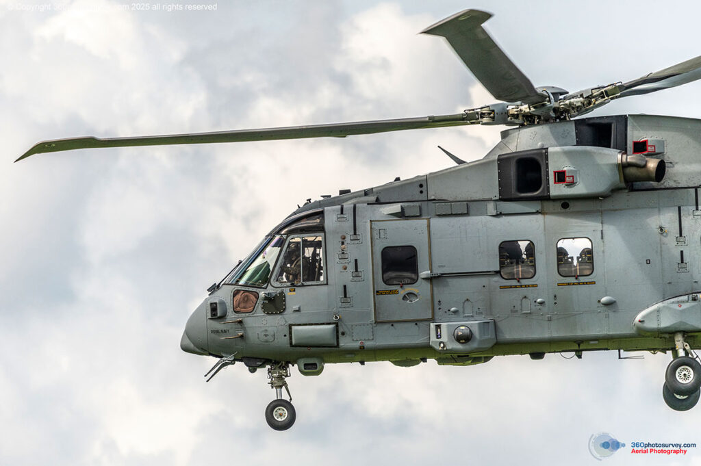
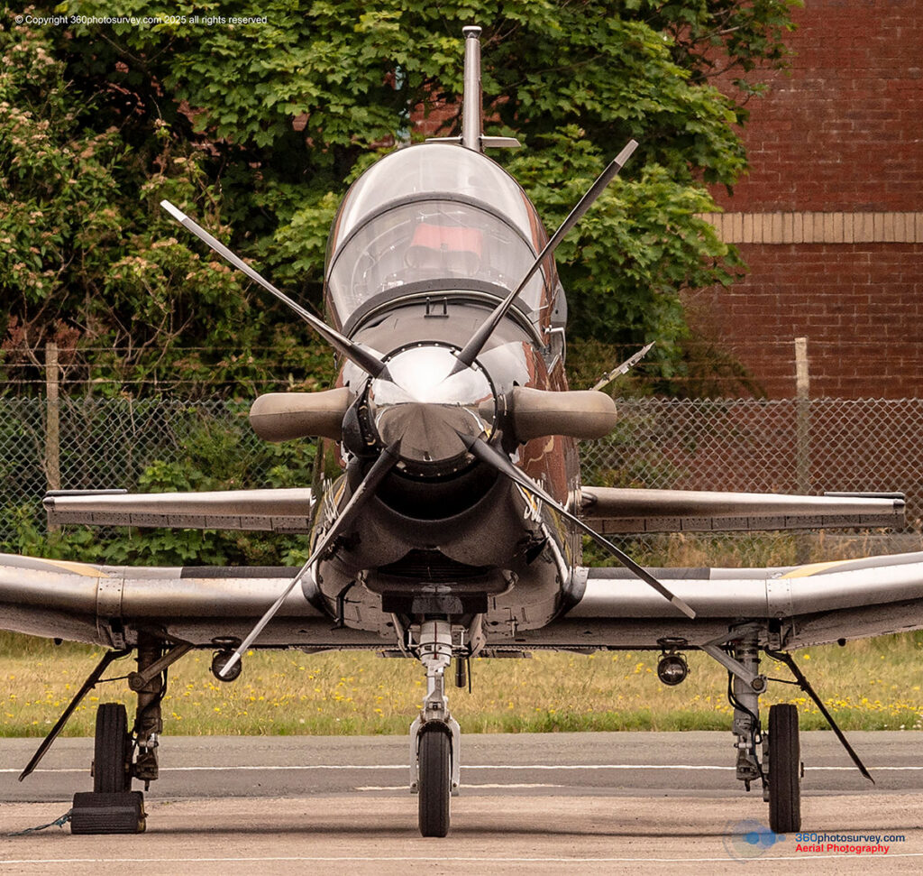
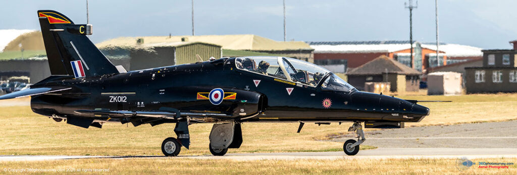
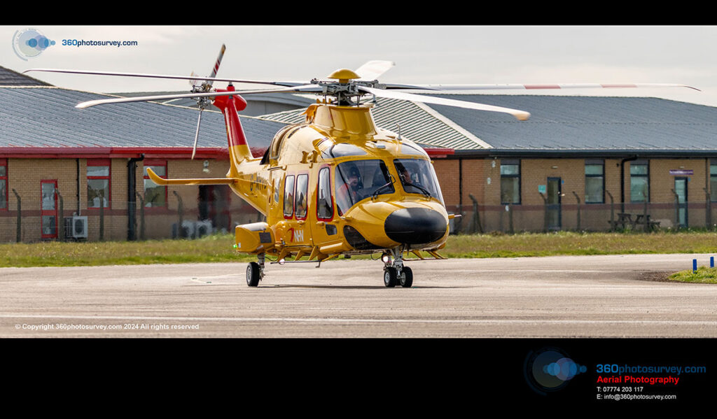
Aircraft and pilots
CAA licenced for commercial aerial photography operations.
Professional Pilots and Photographers
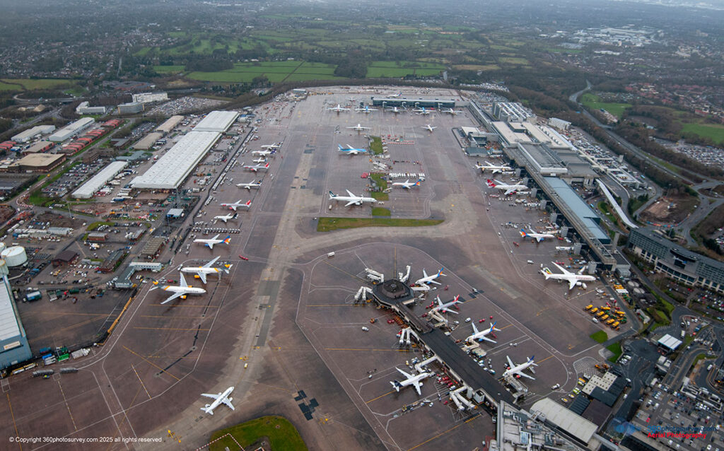
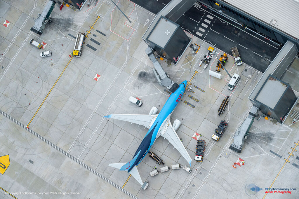
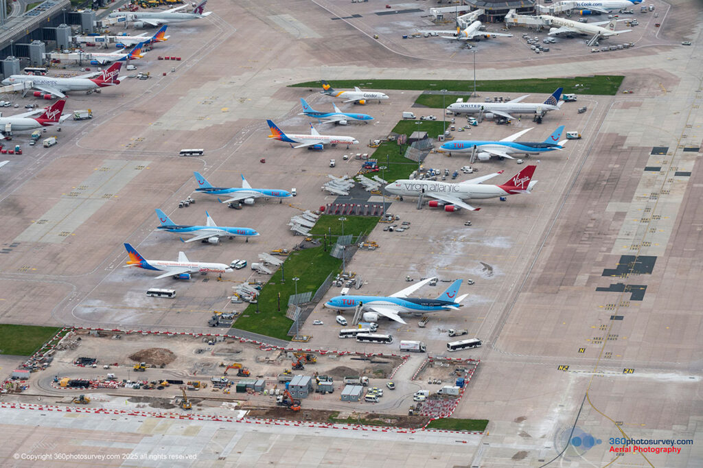
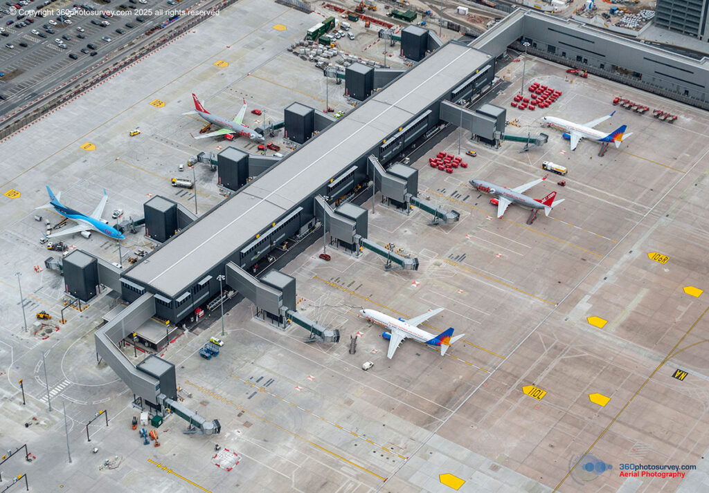
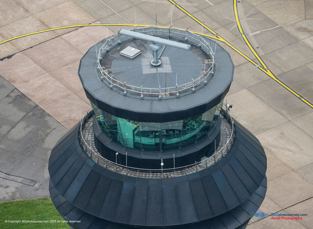
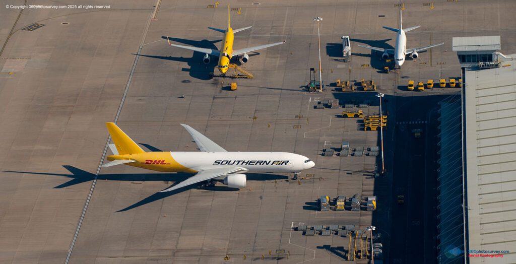
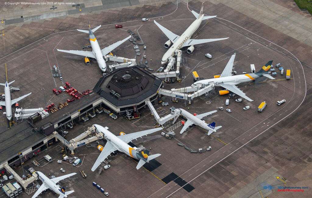
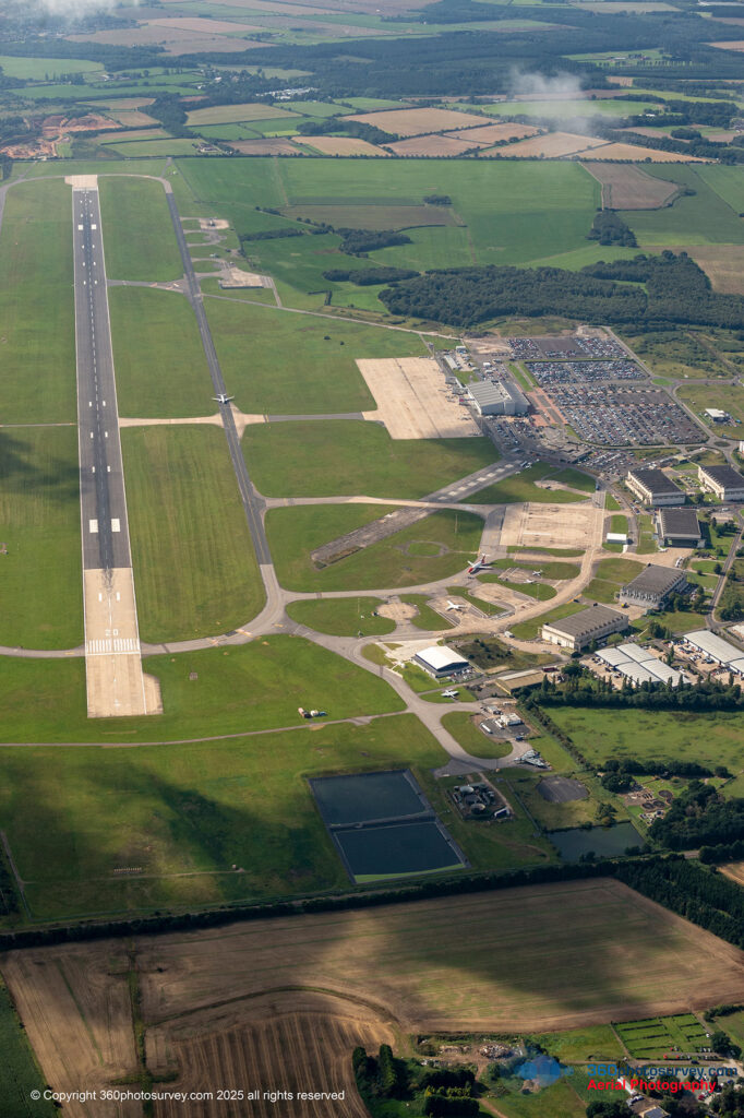
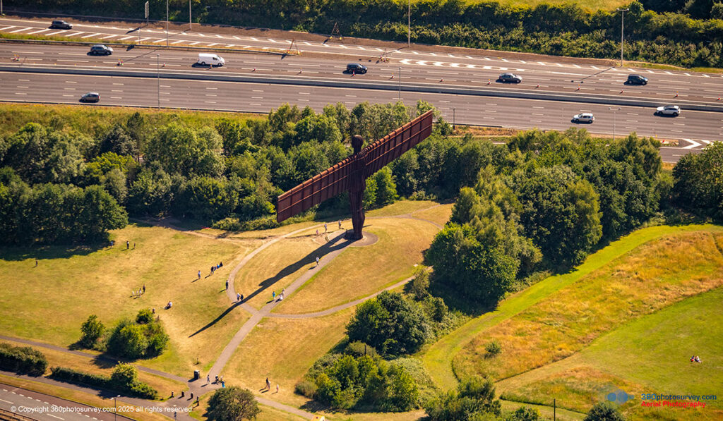
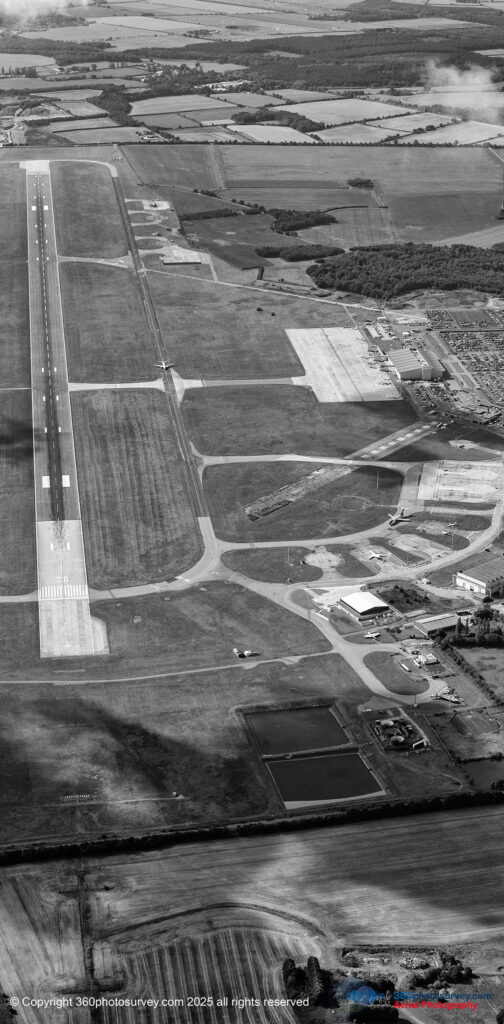
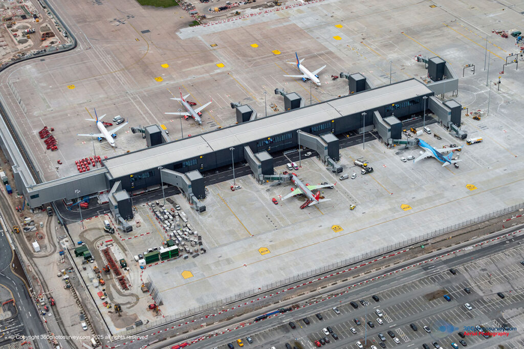
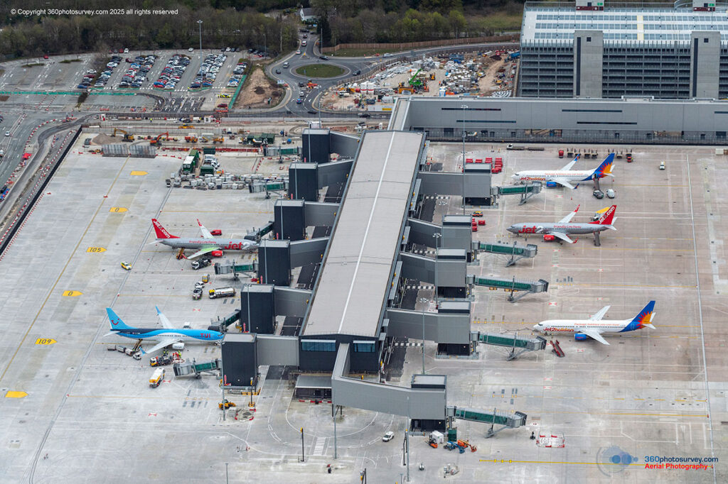
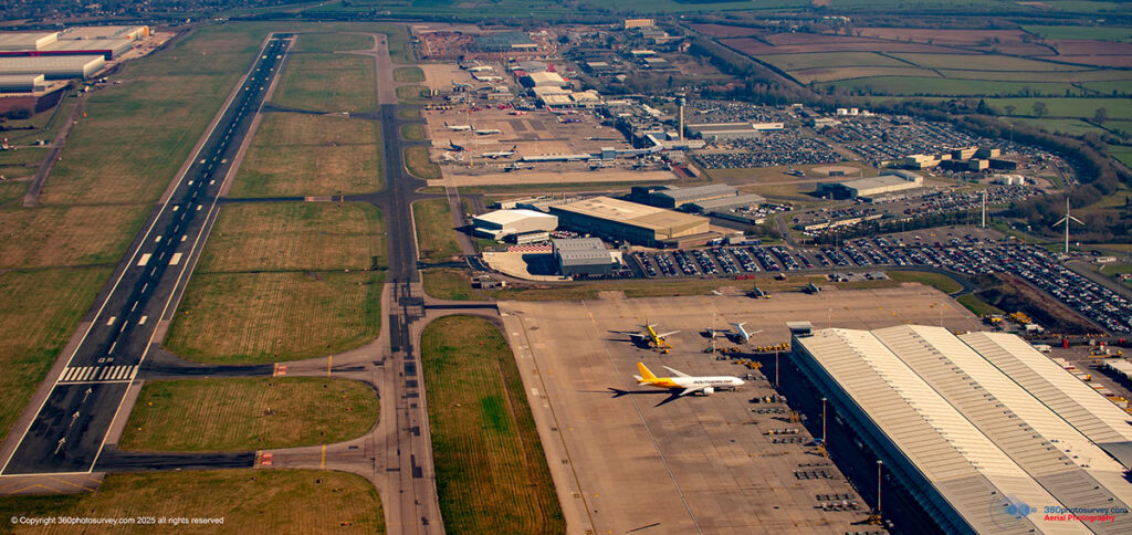
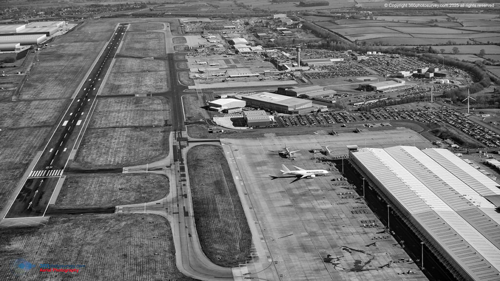
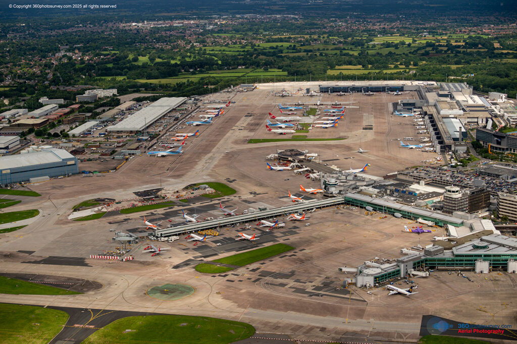
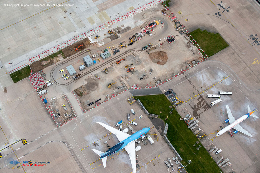
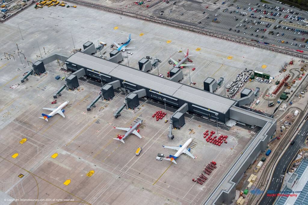
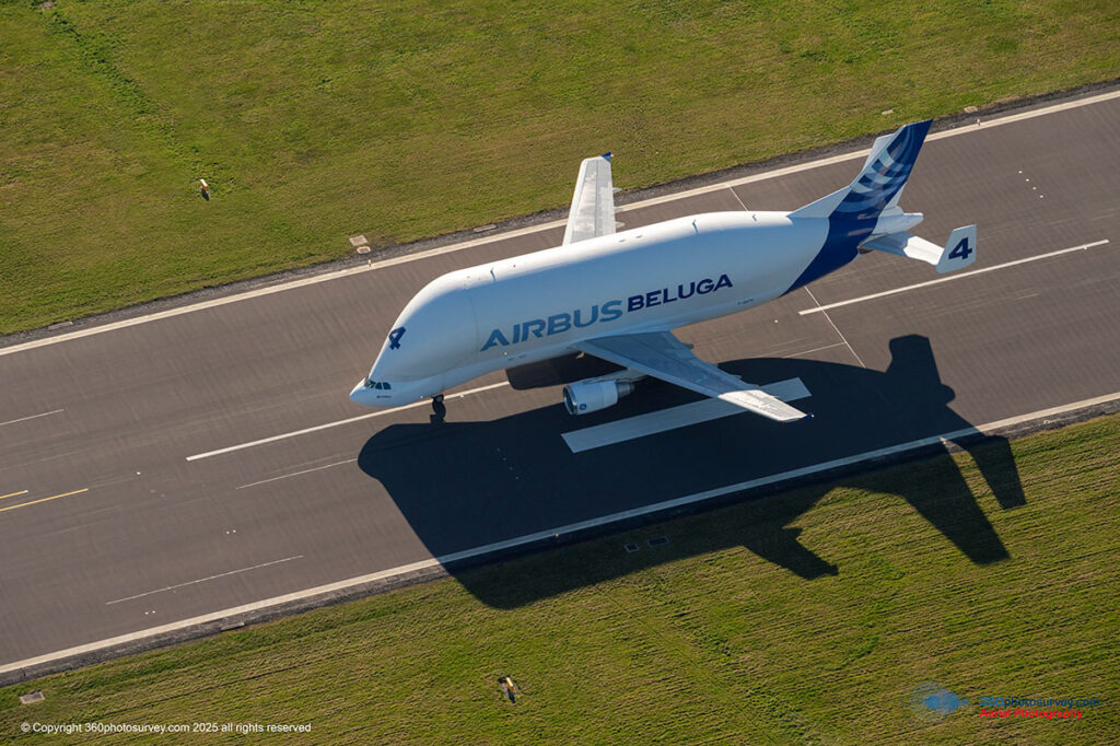
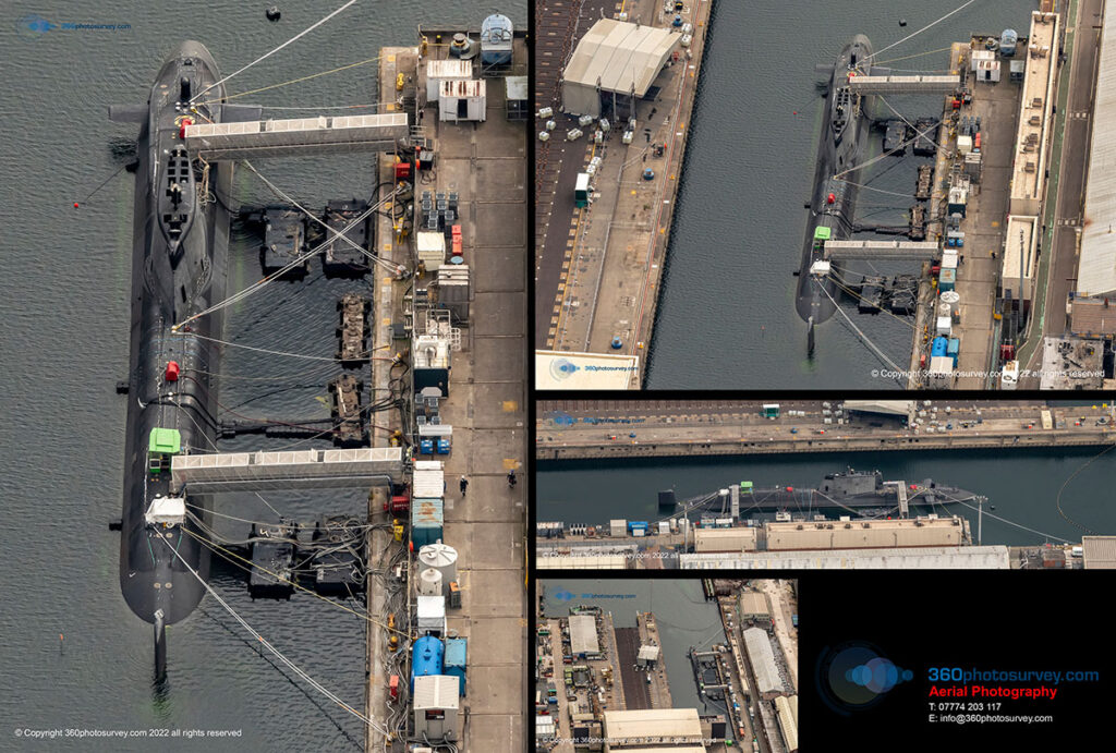
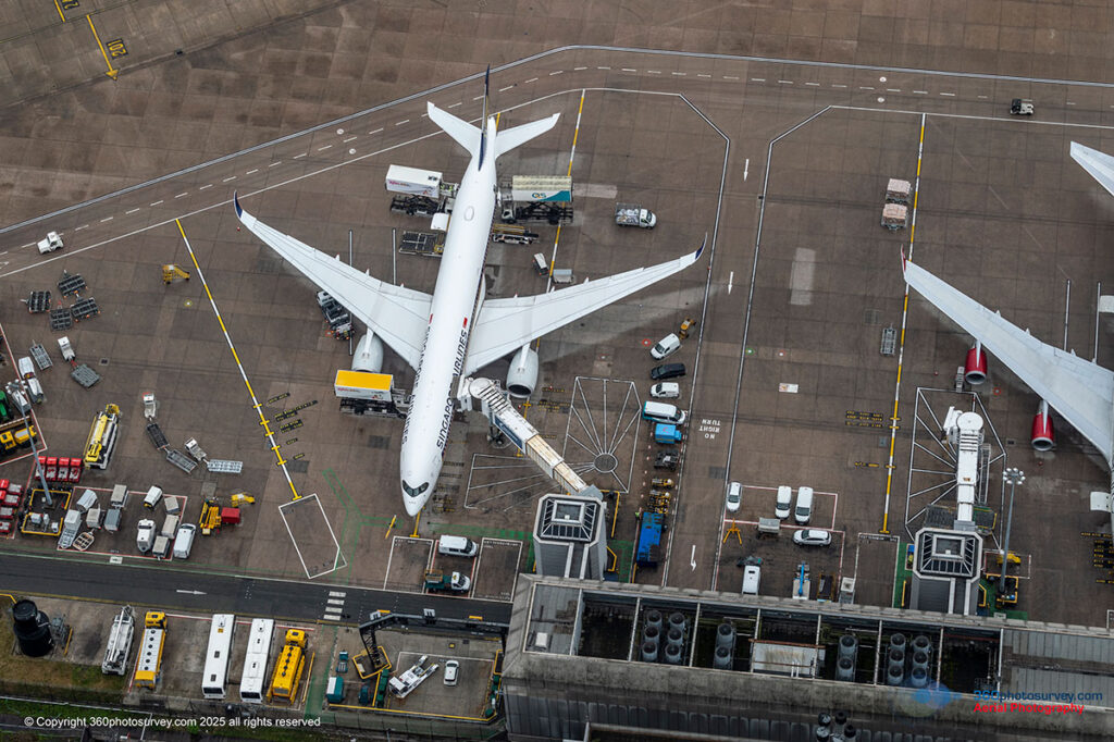
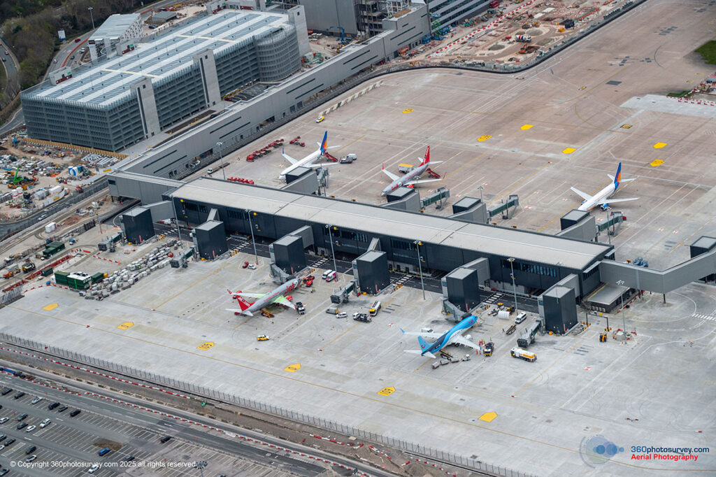
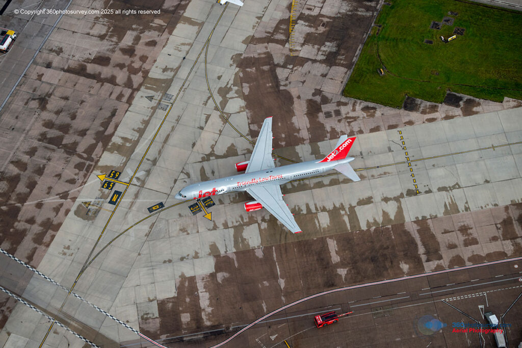
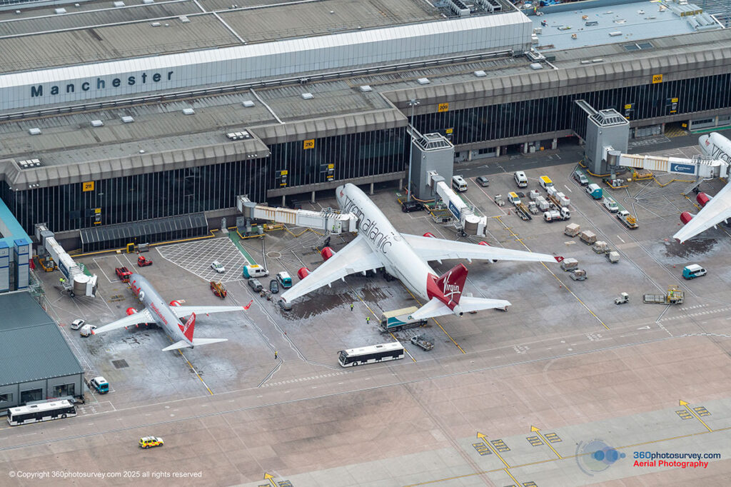
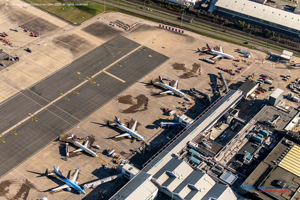
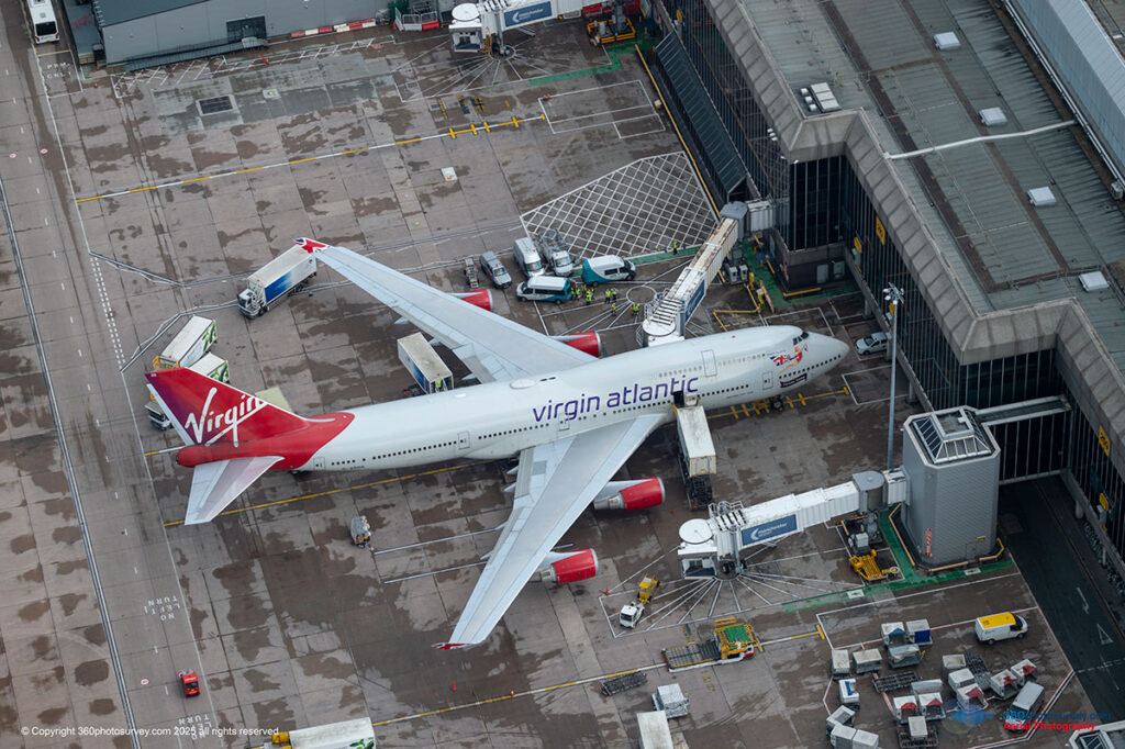
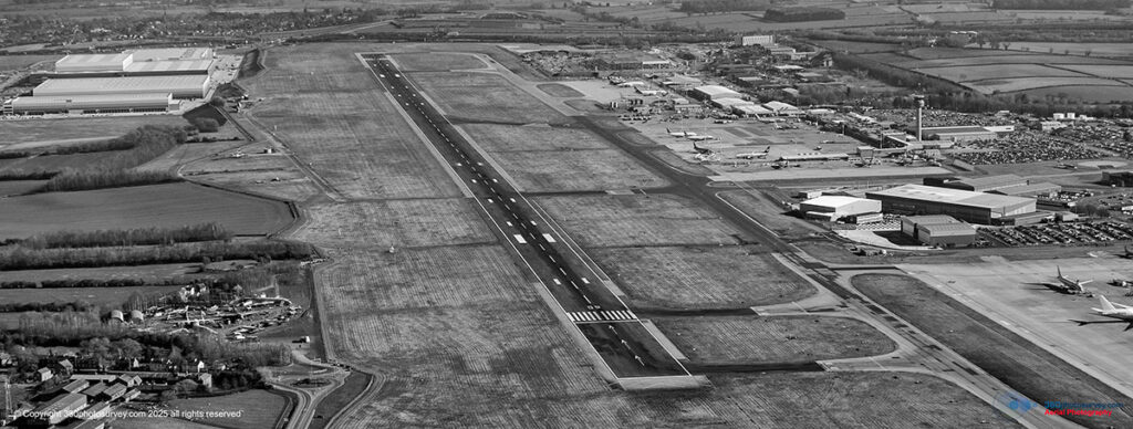
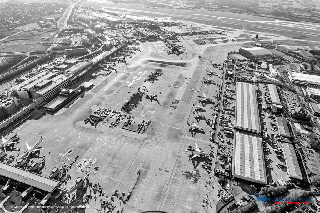
With a proven and valuable reputation for working efficiently and quickly, avoiding disruption to other air users, proving a valuable asset, particularly with our regular flight operations within controlled airspace at major airports, Air Traffic Control know we don`t hang around, avoiding any disruption to airport operations and maintaining safety as a critical requirement.
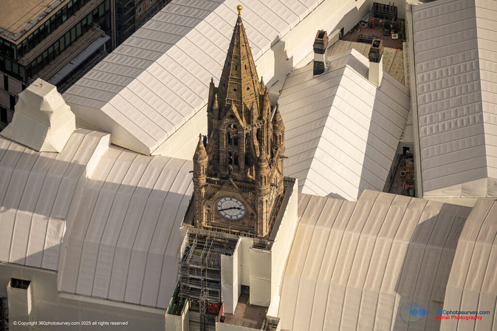
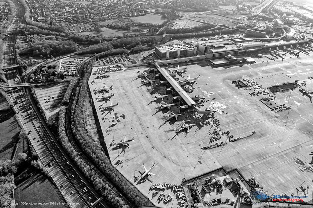
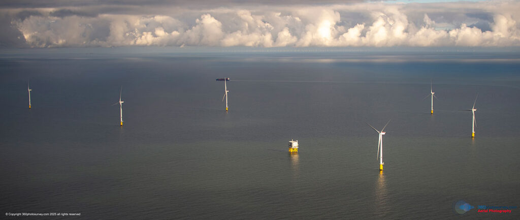
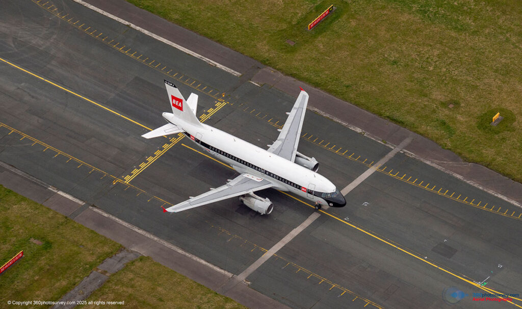
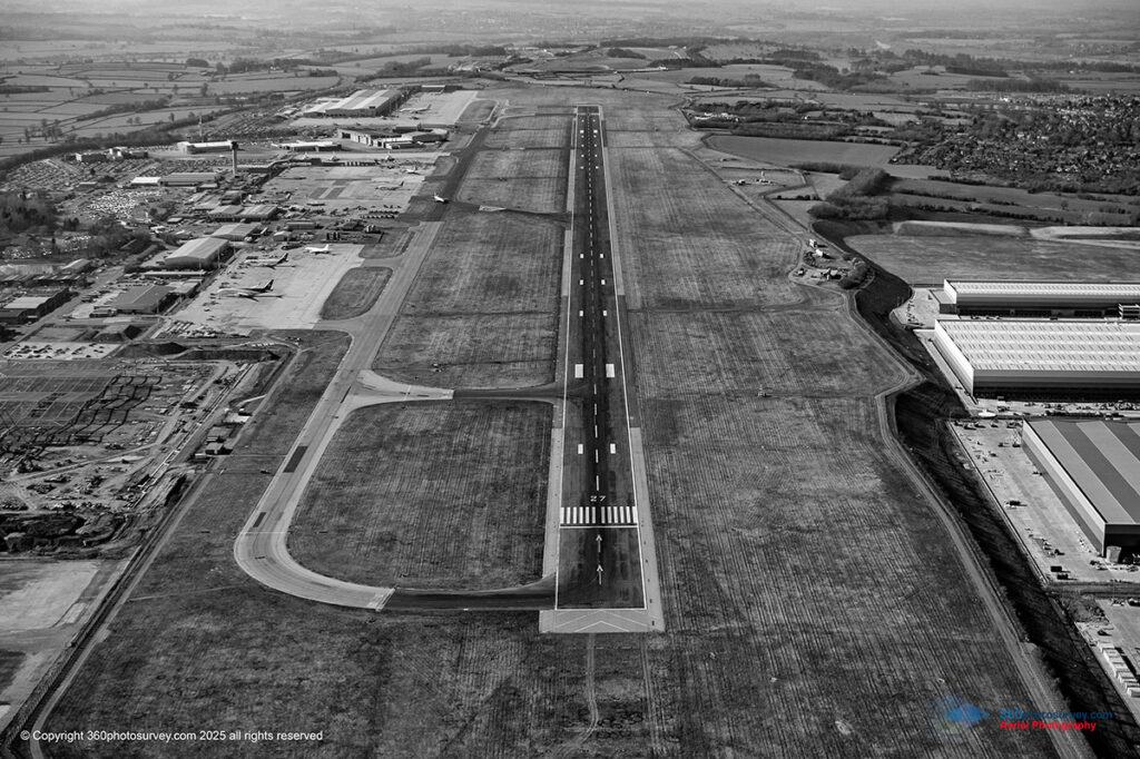
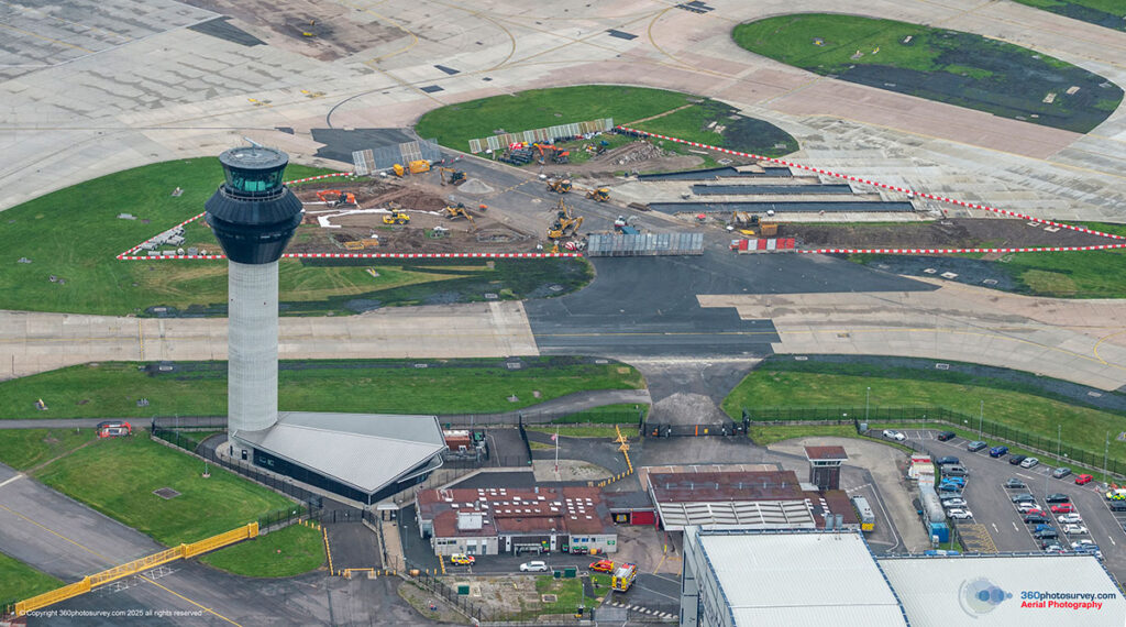
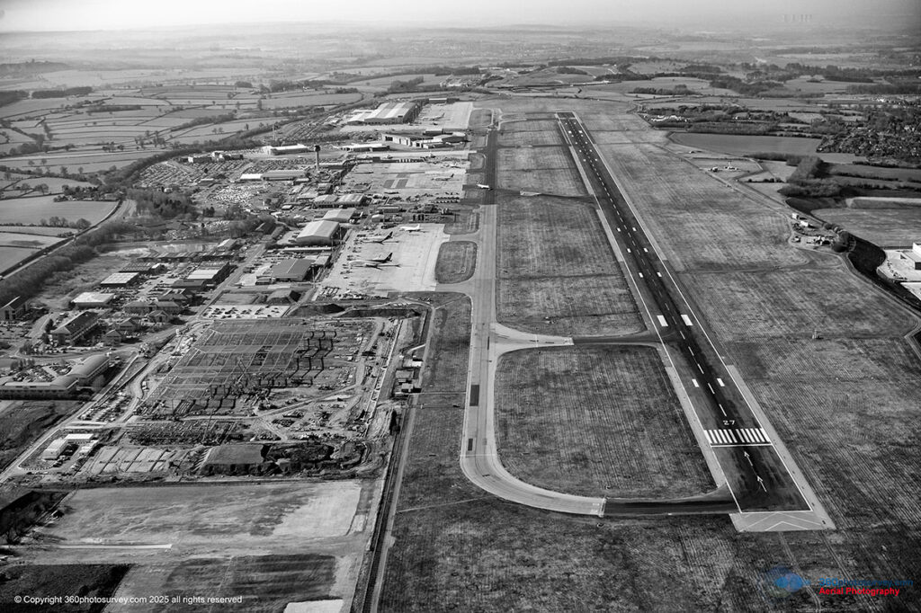
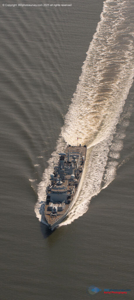
Access to More Sky
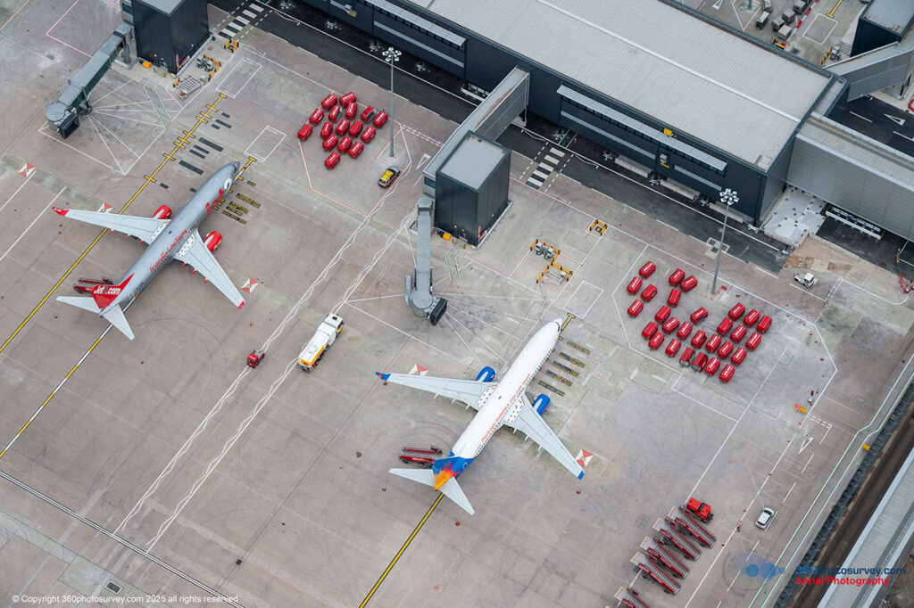
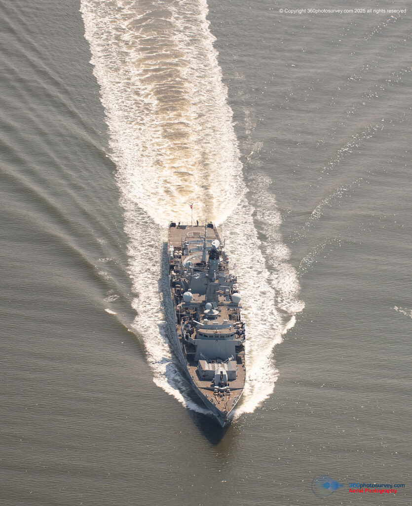
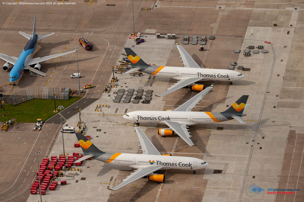
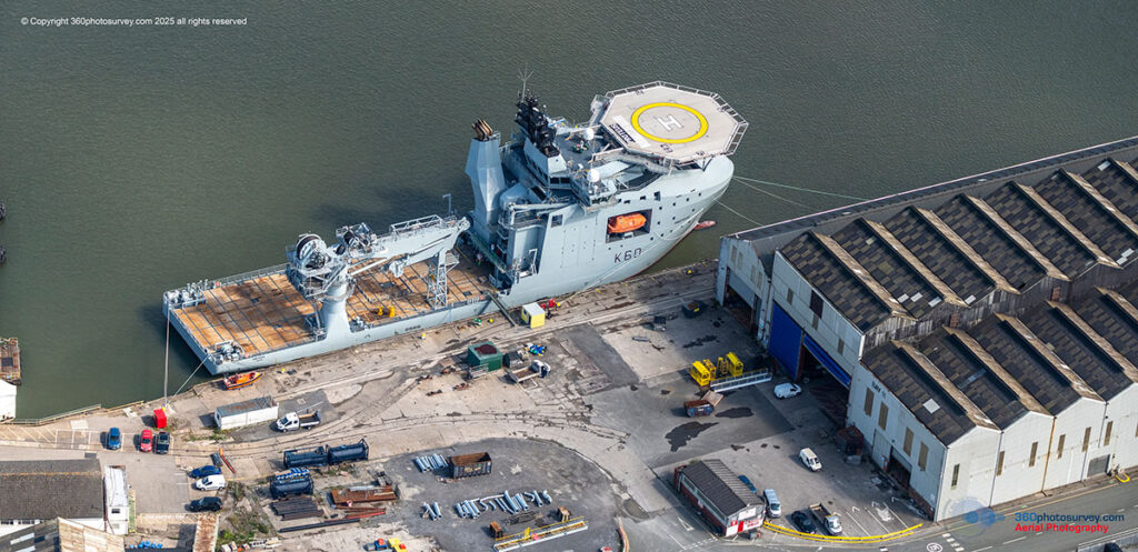
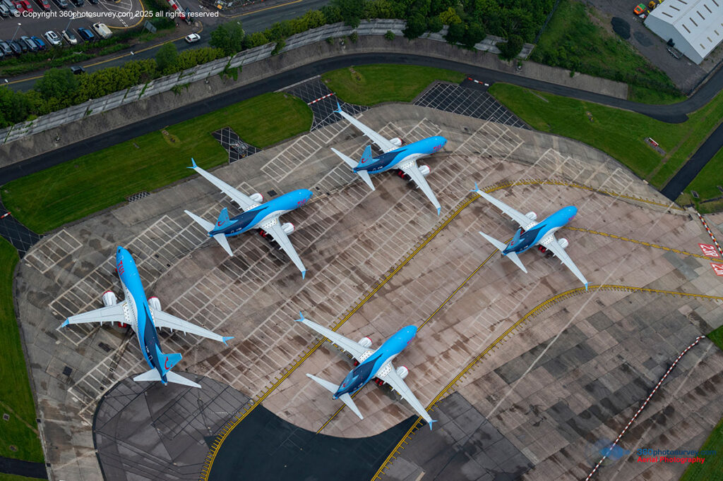
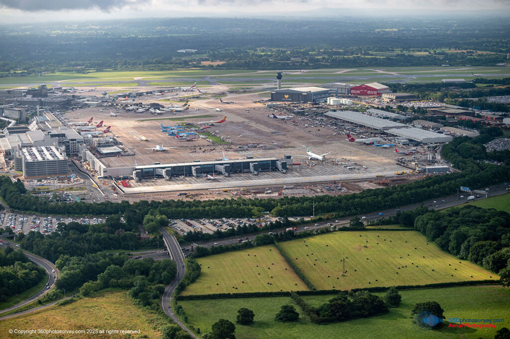
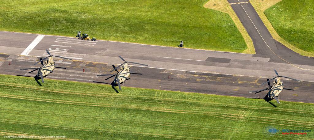
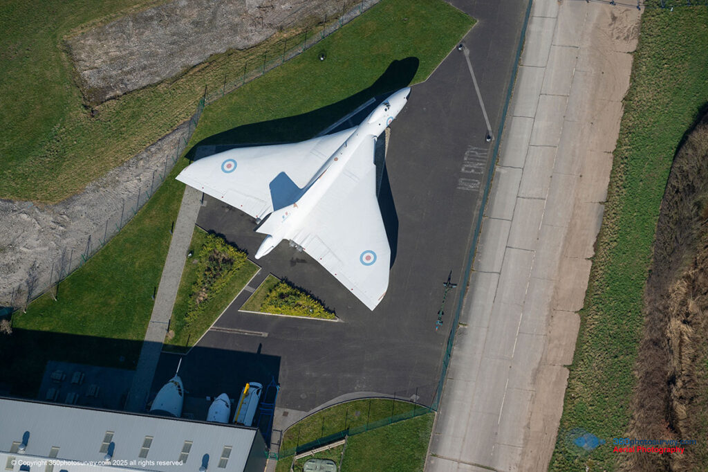
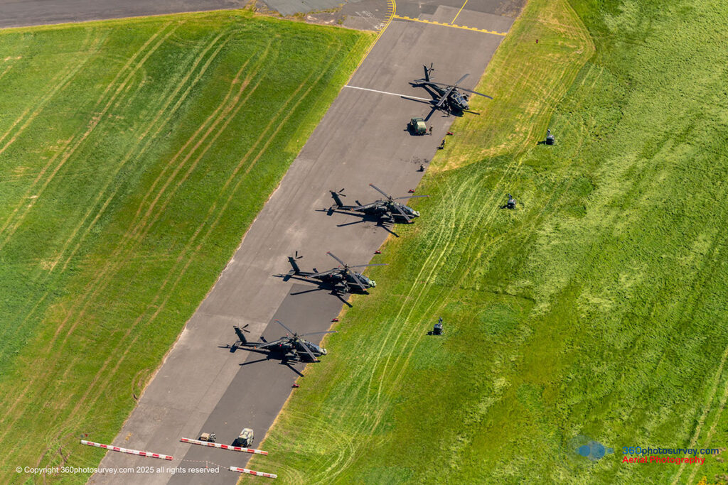
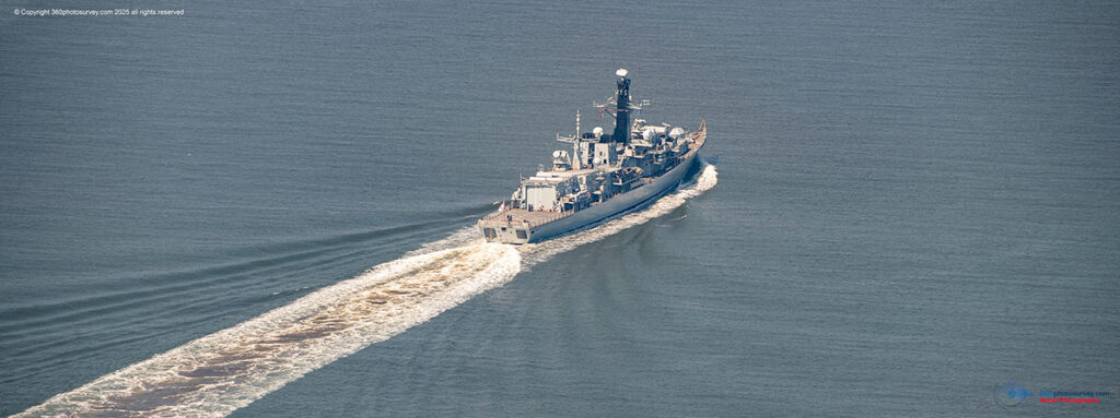
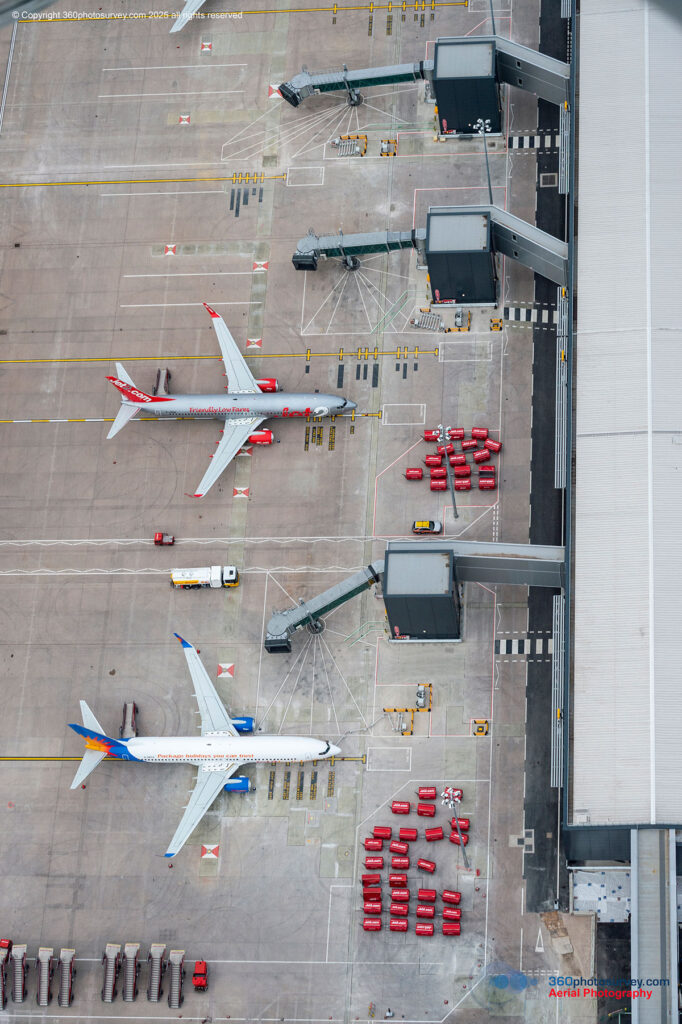
We operate within both controlled and restricted airspace — including at busy airports and other sensitive locations — enabling us to photograph subjects simply out of reach for drones.
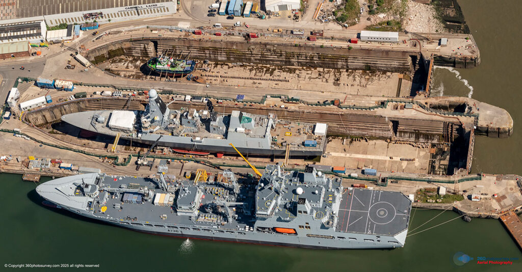
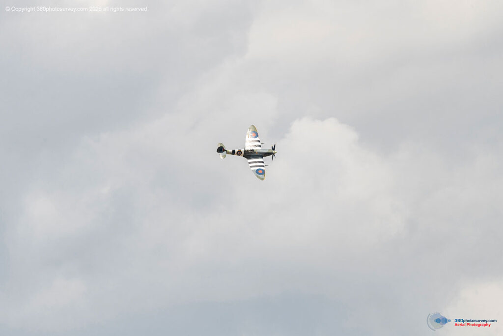
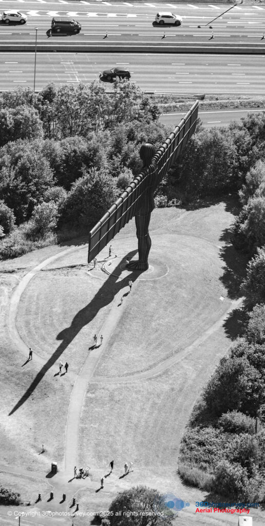
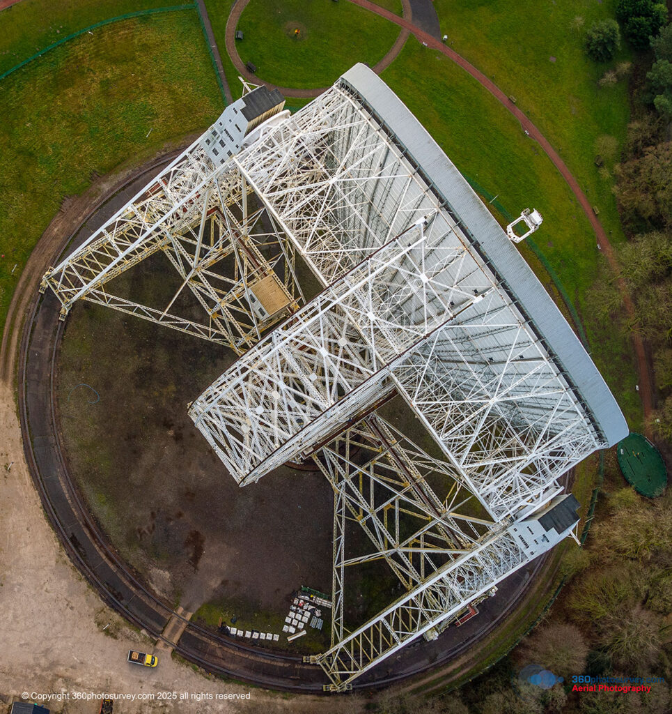
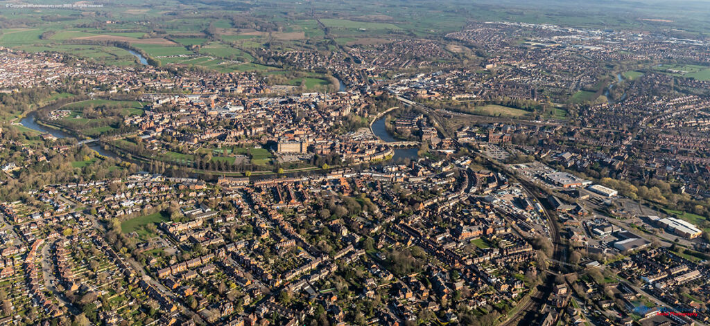
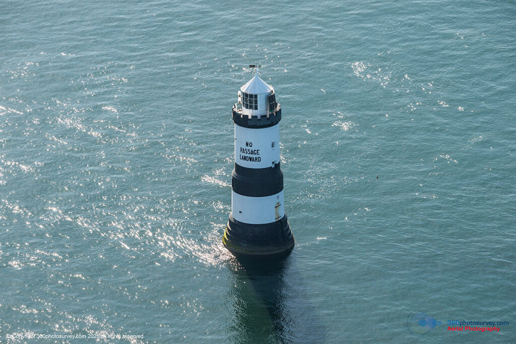
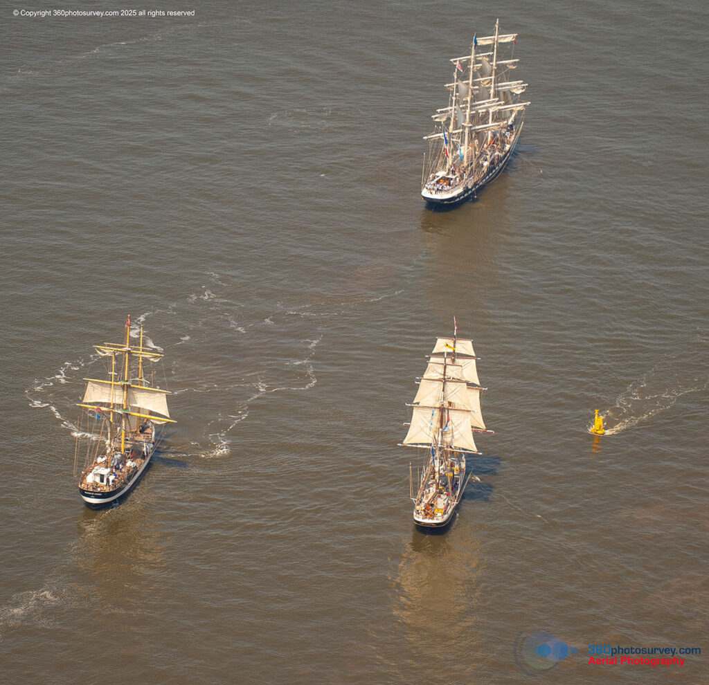
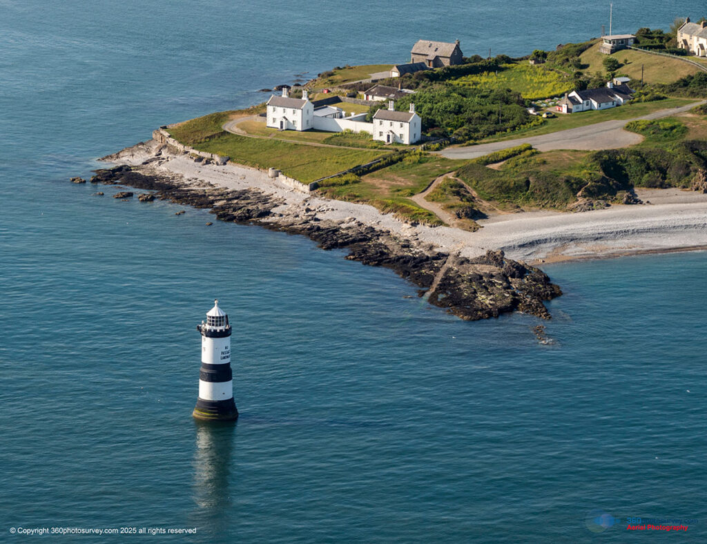
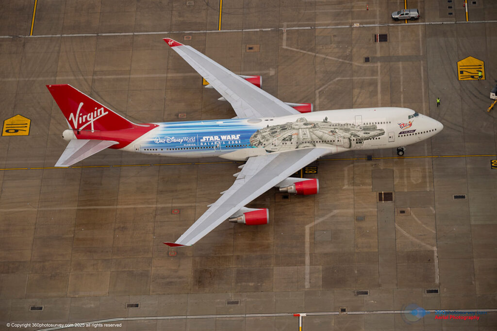
Superior Image Quality:
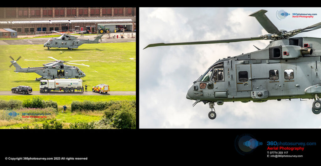
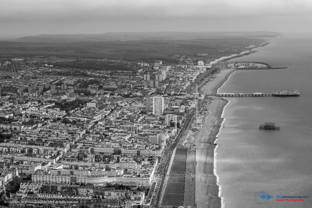
Every image is composed in real-time through the eyes of our onboard human photographers, ensuring precise framing and exceptional clarity that no remote screen can match. The results are stunning, high-resolution photographs that highlight your assets in their best light from a unique perspective.
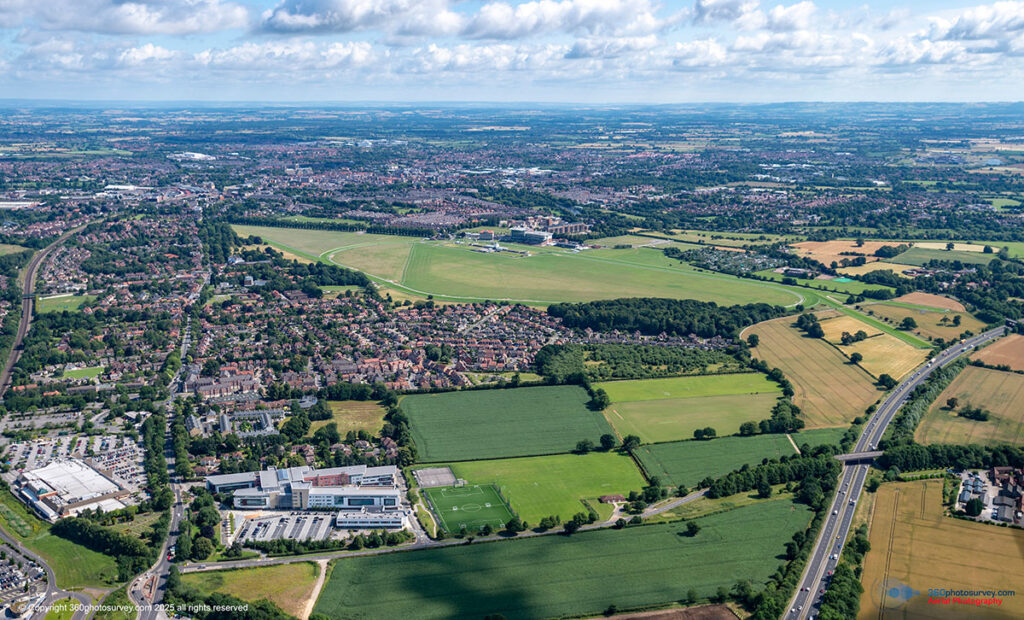
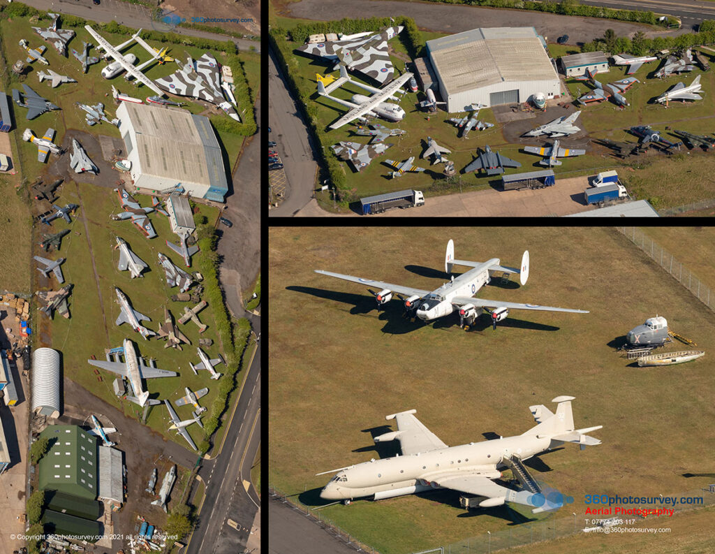
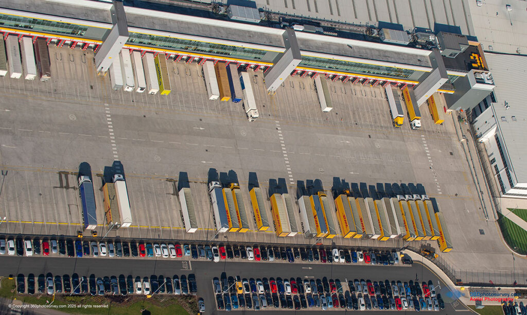
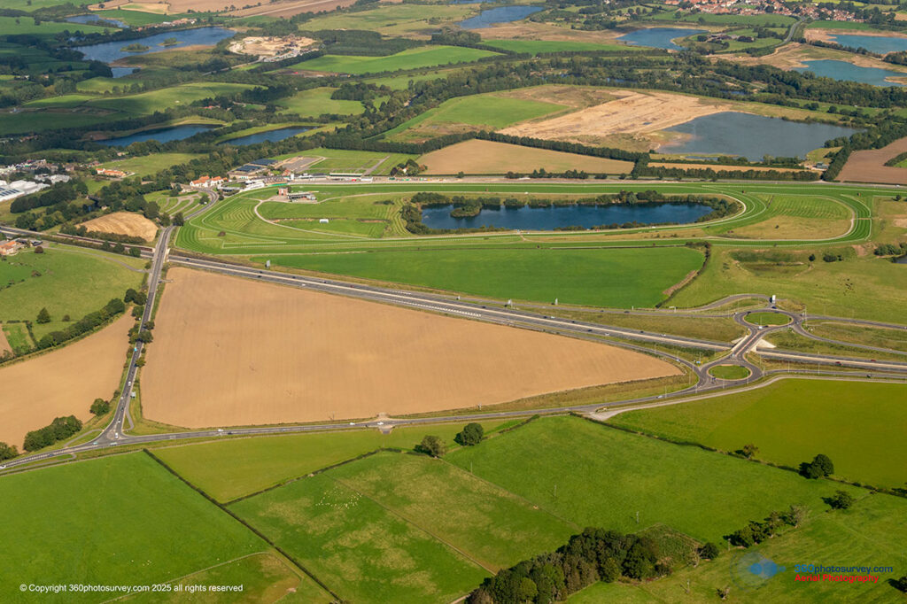
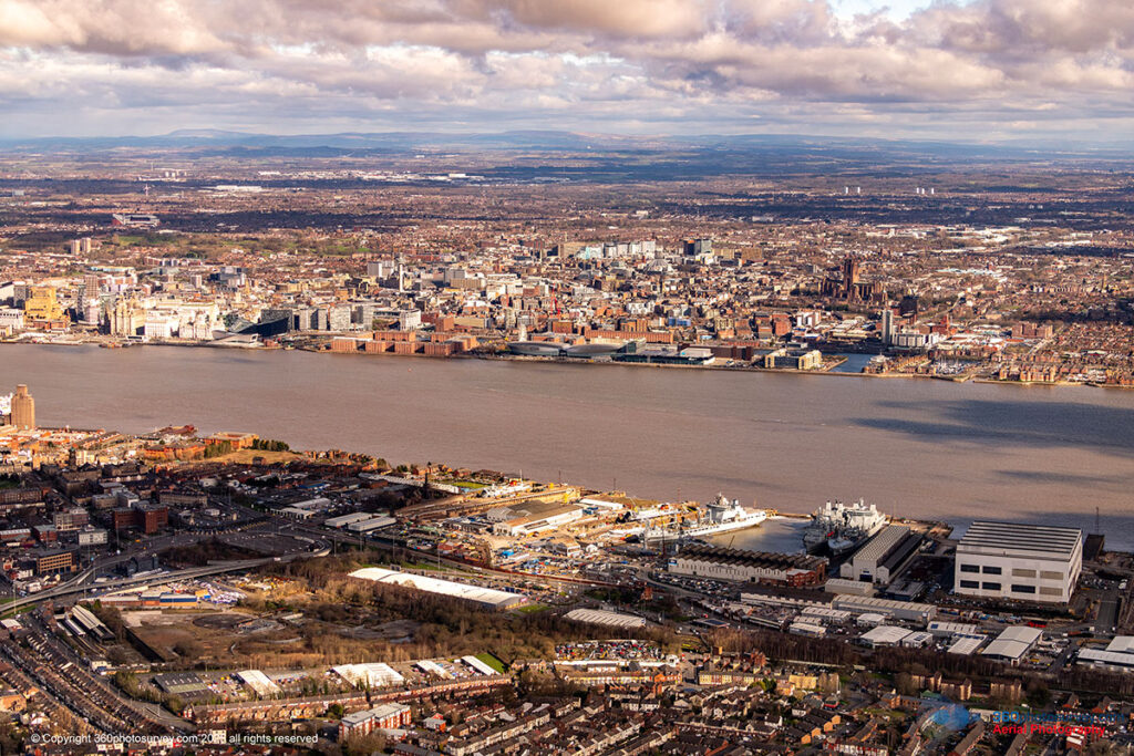
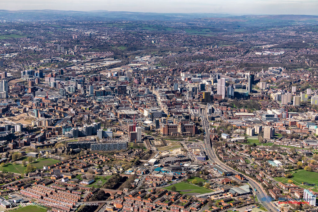
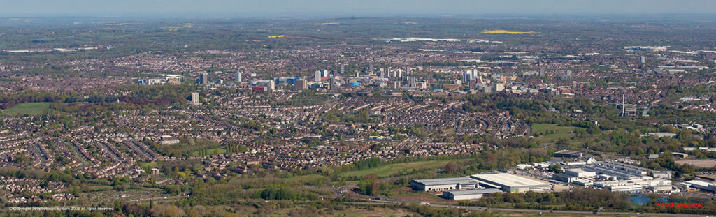
Broader Coverage
With the ability to fly further, at higher altitudes and greater speeds (as the crow flies between sites), we capture expansive portfolios, regional developments, and dispersed sites efficiently — photographing multiple locations during each aerial photoshoot flight operation.
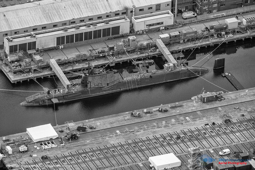
High-powered gyro-stabilized cameras
Enable us to capture wide panoramic views and close up details of buildings as required by our clients with incredible detail and quality.
Efficiency and Cost-Effectiveness
Our multi-site capability means reduced downtime, quicker project completion, and better value — ideal for property managers, developers, and marketing teams seeking comprehensive aerial imagery on a tight schedule.
Regulatory Freedom
Because as we don’t use drones, we’re not bound by CAA drone restrictions. That means more flexibility for your project and access to the airspace others simply cannot offer.
Discover what’s truly possible when you elevate your story. Our seamless blend of advanced aviation skills, photographic excellence, and operational precision allows us to capture unique aerial perspectives that set your project apart.
Ready to capture your vision from above? Call or email Chris at 360photosurvey.com to discuss your requirements and find out how we can help you achieve exceptional aerial photographs.
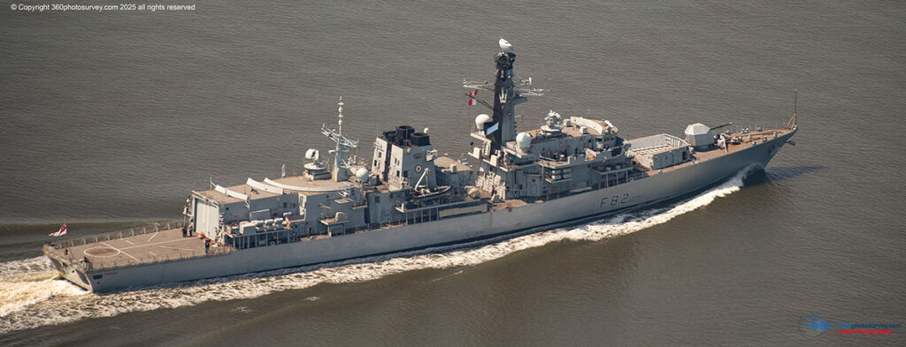
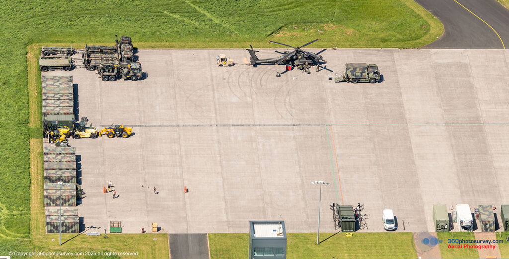
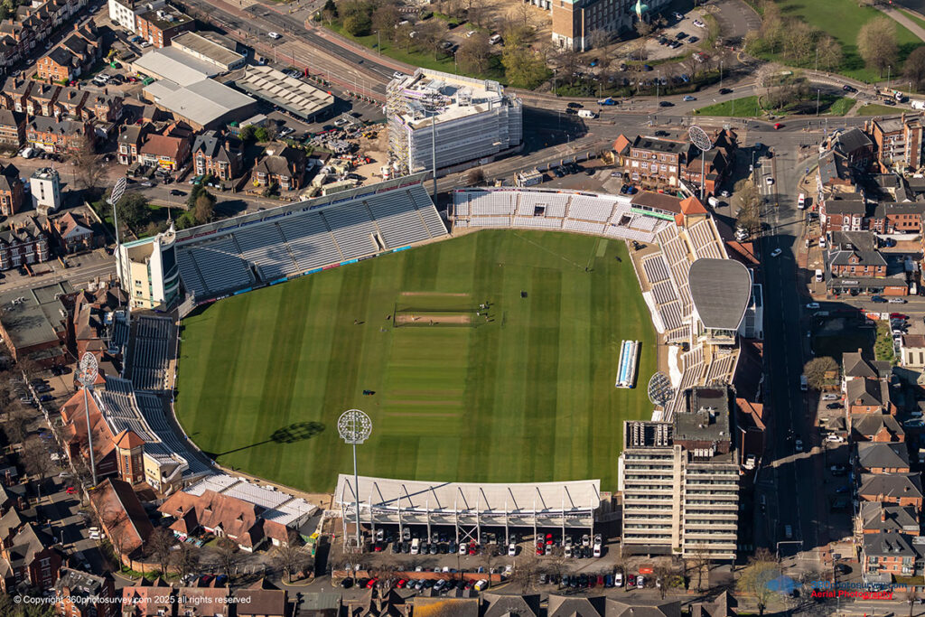
Our Clients Include
