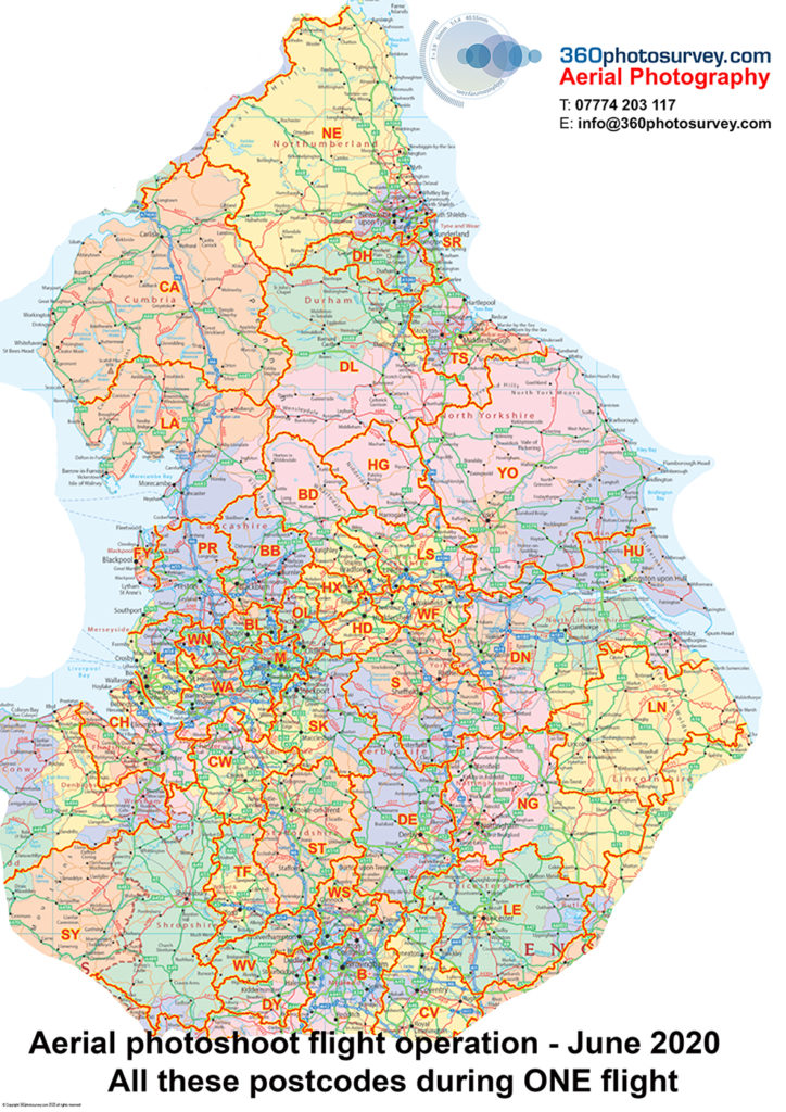
Specialist construction and infrastructure project aerial photographer 360photosurvey.com undertakes regular monthly aerial photoshoots covers in ONE continuous flight in our full size aircraft covering all these post code areas.
If you have a construction/infrastructure project (whether as a one off, or on a regular monthly basis) within these post code areas, and would like aerial photos of it – call now.
Nb – we also provide aerial photography for Real Estate professionals during our photoshoot flight operations too.
Providing high quality, high resolution JPEG images for our clients projects.
You can`t do that with a drone!

