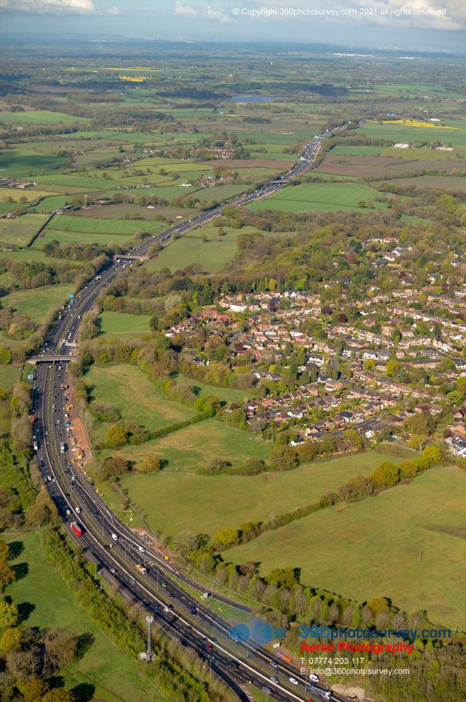
360photosurvey.com has been appointed by Galliford Try on behalf of Highways England to undertake regular monthly aerial progress photography along the full length of the M56 Smart Motorway project in Greater Manchester – regular monthly aerial photoshoot along both sides of the motorway which is immediately adjacent to Manchester International Airport. 360photosurvey.com use a full size high-wing aircraft with two man team comprising professional pilot and aerial photographer with high powered cameras recording the project from 1500 feet with incredible detail.
Due to the proximity right next to Manchester International Airport we needed careful planning with Air Traffic Control to enable us to fly our full size aircraft along both sides of the Motorway at 1500 feet – thanks again to the professional Manchester ATC team.
360photosurvey.com specialises in providing high quality aerial photography for construction and infrastructure projects. Our projects include the M56 Smart Motorway, M6 Junction 19 improvements, A34 Perry Barr Highway improvements, Congleton Link Road project and the Poynton Link Road project to name but a few.

